
INDONESIA ~ PHOTO GALLERIES
🙂 click images to view 🙂

Bena Village, Indonesia (Flores)

Bena Traditional Village. Bena Village, Indonesia (Flores).
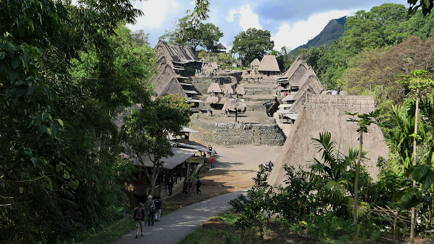
Bena Traditional Village. Bena Village, Indonesia (Flores).
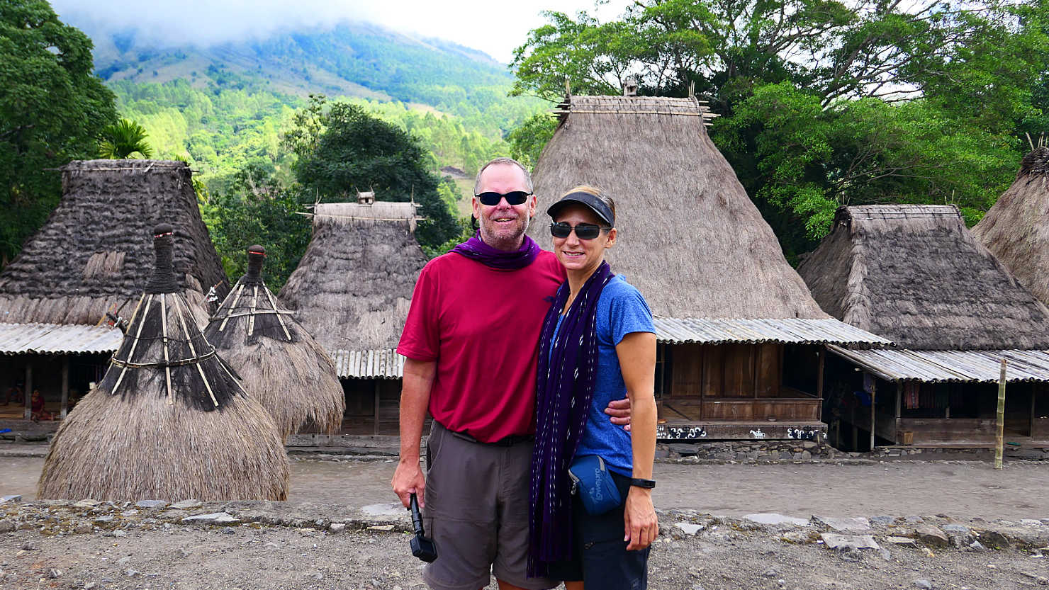
Rick and Alisa walking around the village. Bena Village, Indonesia (Flores).
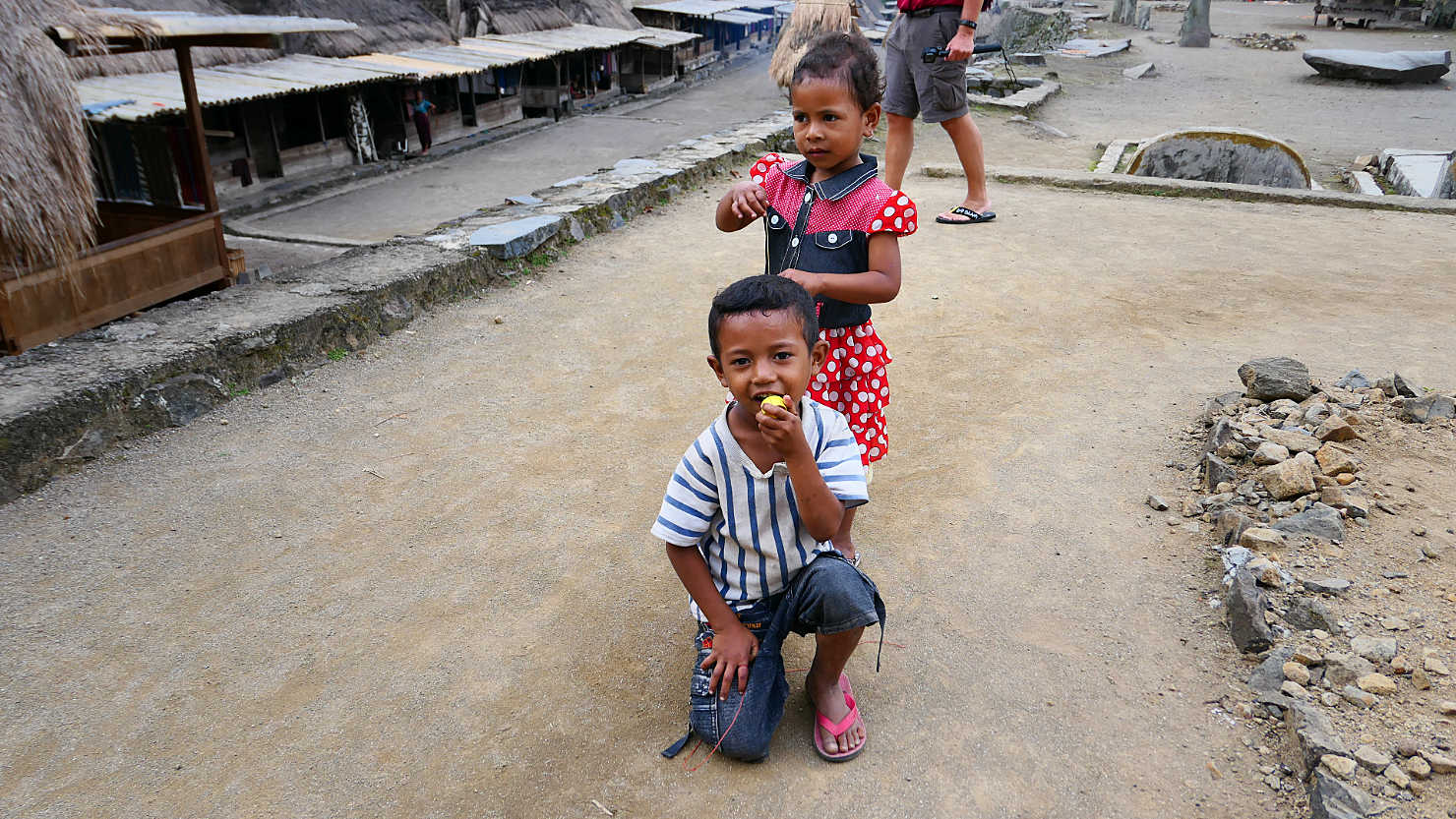
Bena village kids playing with tops. Bena Village, Indonesia (Flores).
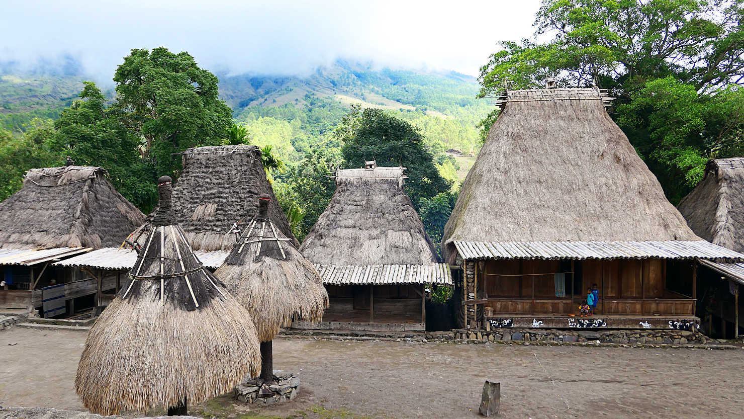
Bena village houses and shrines. Mt Inerie (Big Mama Volcano) in the fog directly behind the village. Bena Village, Indonesia (Flores).

Bena village shrines. Bena Village, Indonesia (Flores).

Bena shrines (the smaller houses). Bena Village, Indonesia (Flores).

Bena Traditional Village. Bena Village, Indonesia (Flores).
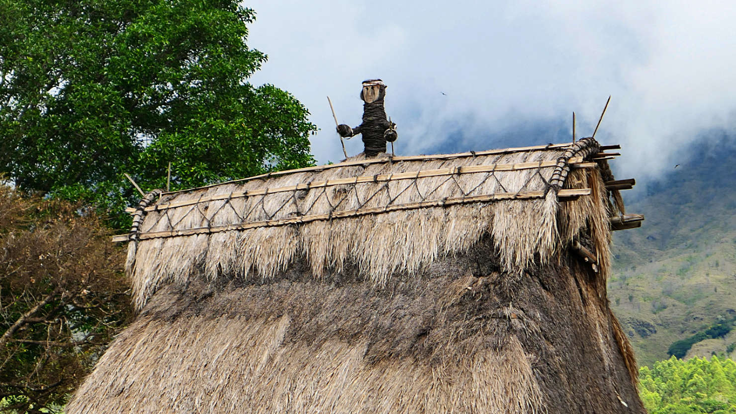
Rooftop figure. Bena Village, Indonesia (Flores).

Stone shrine memorials. Bena Village, Indonesia (Flores).
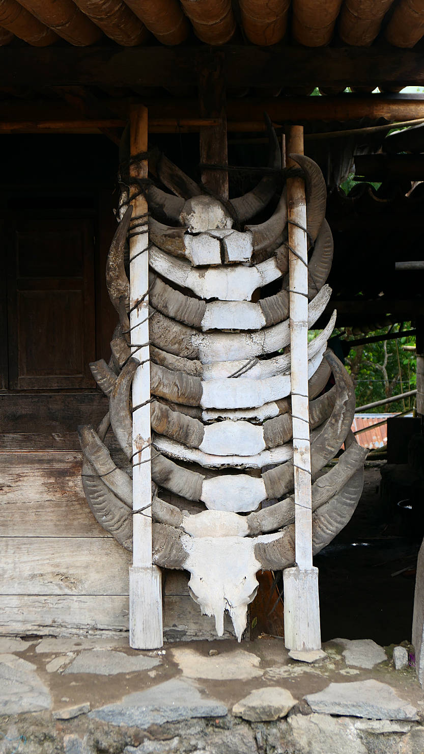
Water buffalo horns from ceremonial sacrifices. Bena Village, Indonesia (Flores).
Bena Village (Flores)

Komodo Natl Park (#1), Indonesia (Flores)
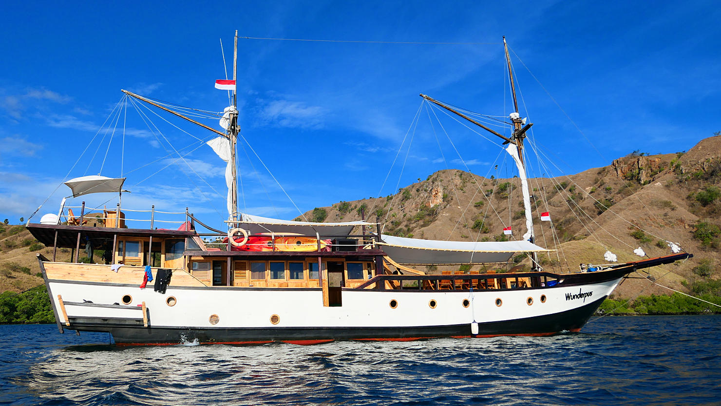
Side view of our 5d/4n live aboard dive boat. Komodo Natl Park (#1), Indonesia (Flores).
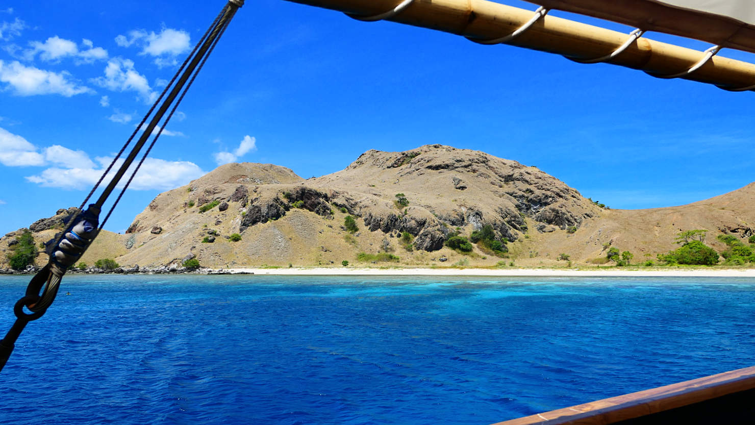
Island view from our boat in Komodo National Park. Komodo Natl Park (#1), Indonesia (Flores).

Distant view of an island in Komodo National Park. Komodo Natl Park (#1), Indonesia (Flores).
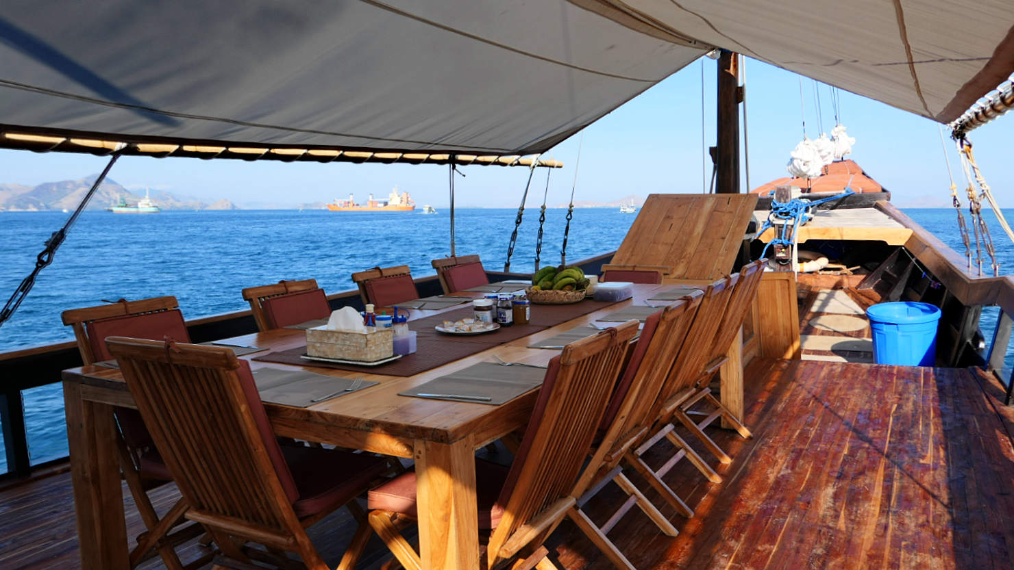
Outside dining area on our live aboard boat. Komodo Natl Park (#1), Indonesia (Flores).
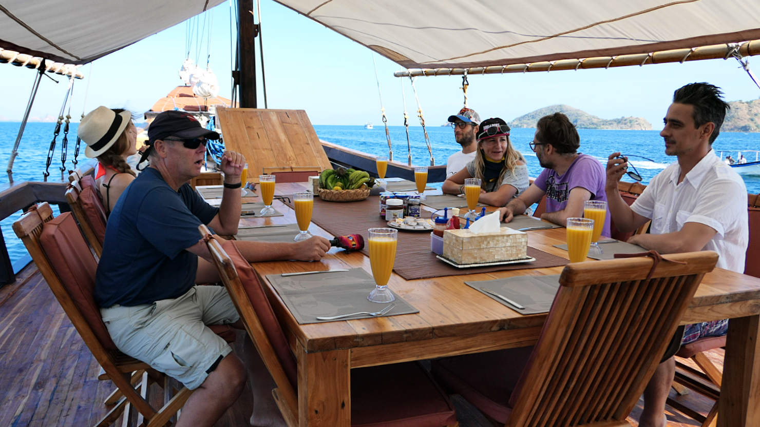
Waiting for breakfast to be served. Komodo Natl Park (#1), Indonesia (Flores).
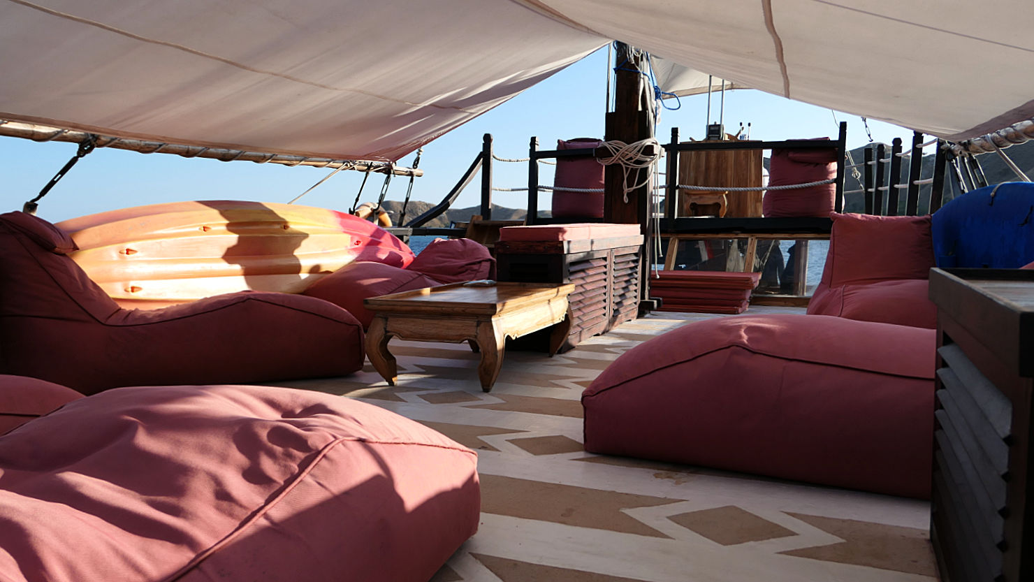
Upper deck for lounging around in between dives. Komodo Natl Park (#1), Indonesia (Flores).
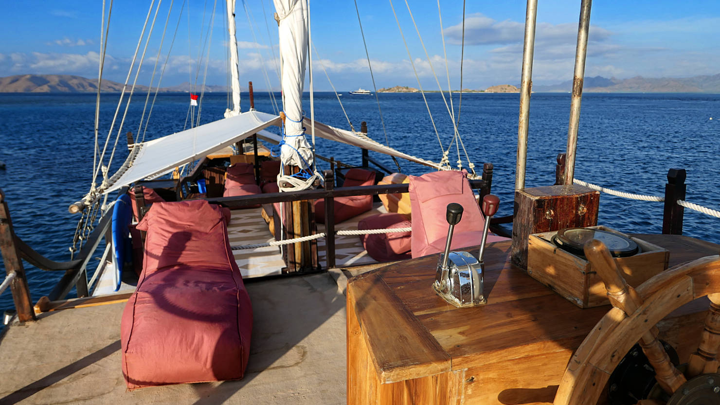
View from the fly bridge. Komodo Natl Park (#1), Indonesia (Flores).

Rick and Alisa after our day of diving. Komodo Natl Park (#1), Indonesia (Flores).
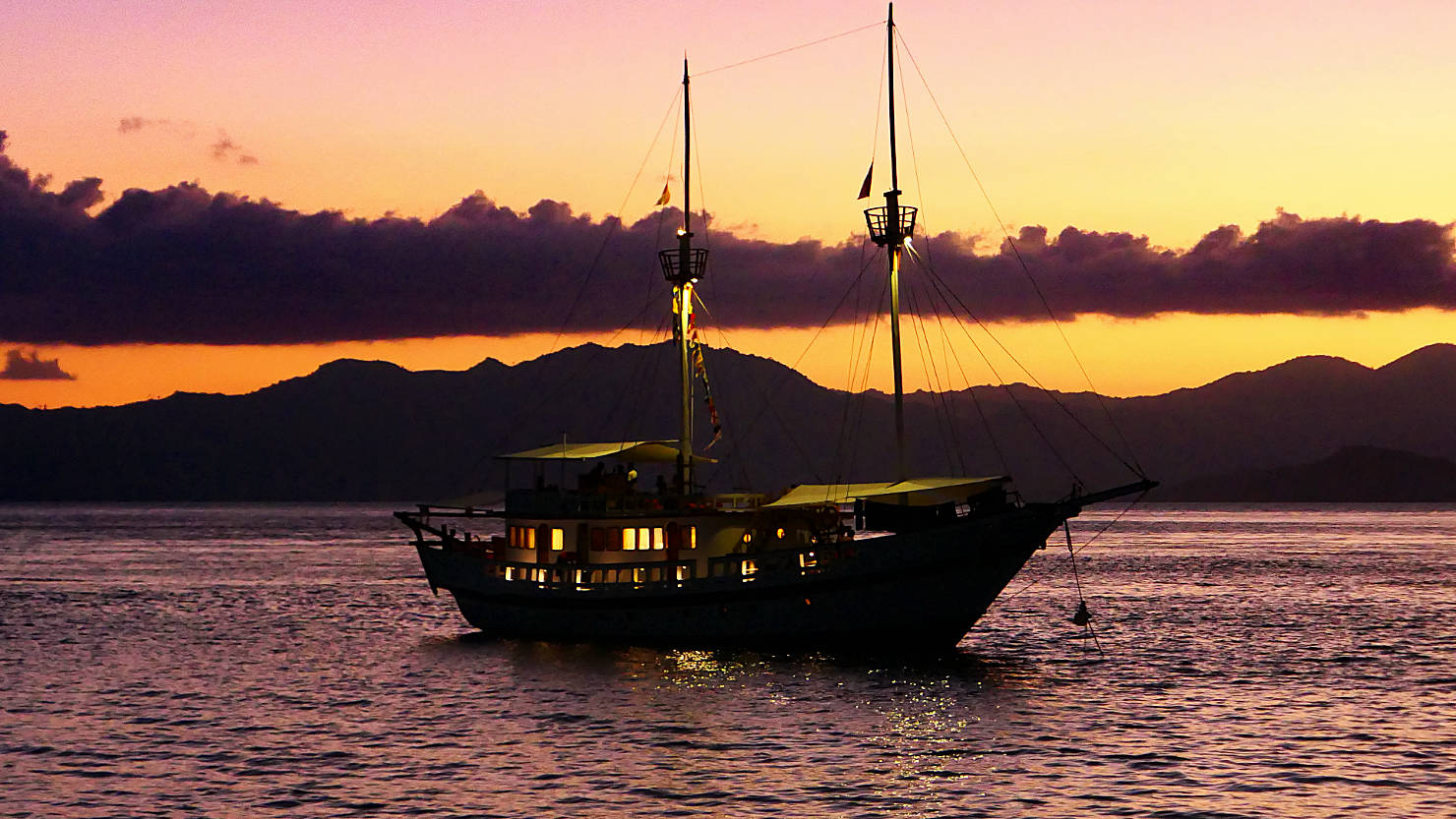
Sailing boat sunset view. Komodo Natl Park (#1), Indonesia (Flores).
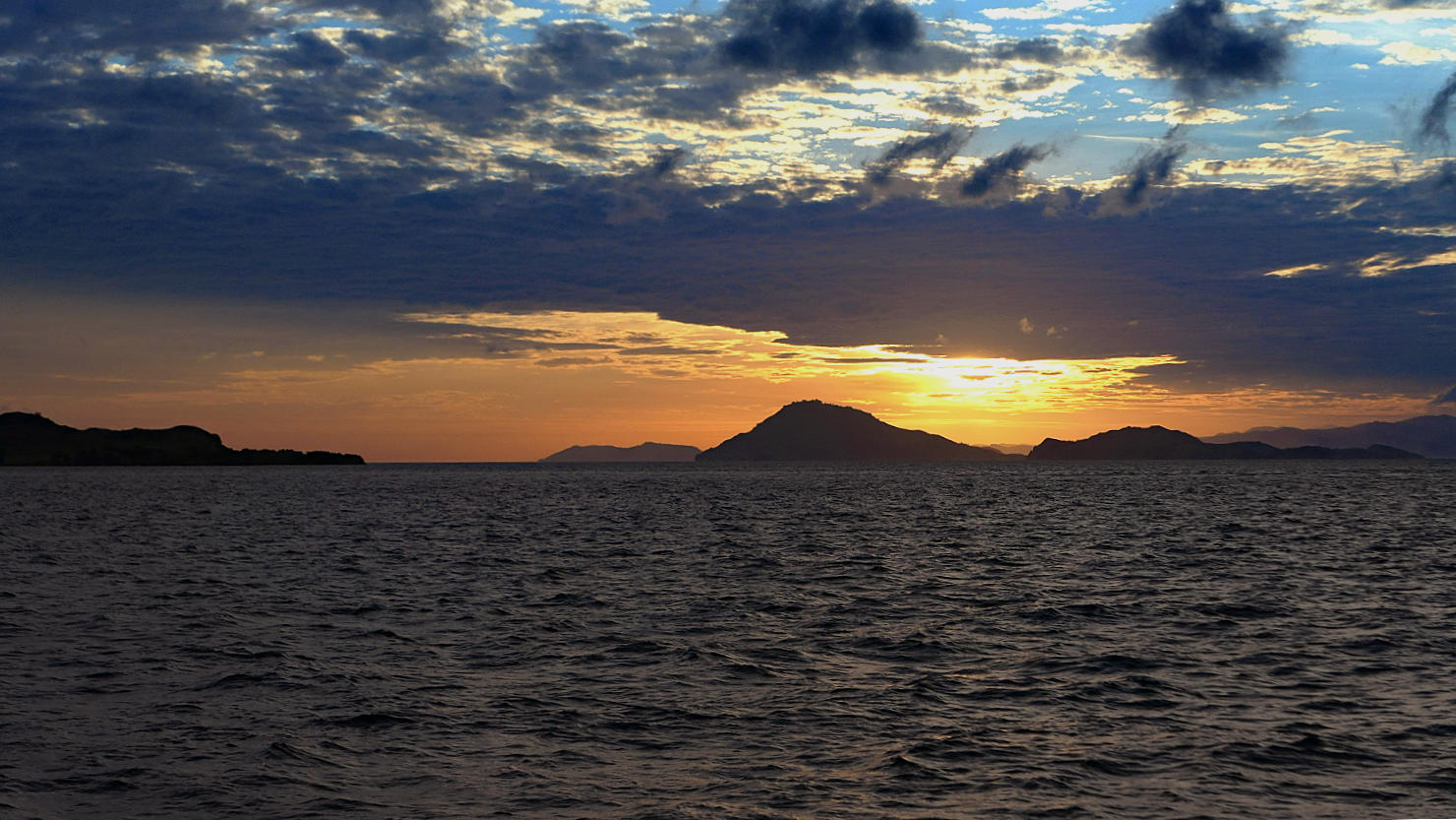
One of several beautiful sunsets. Komodo Natl Park (#1), Indonesia (Flores).
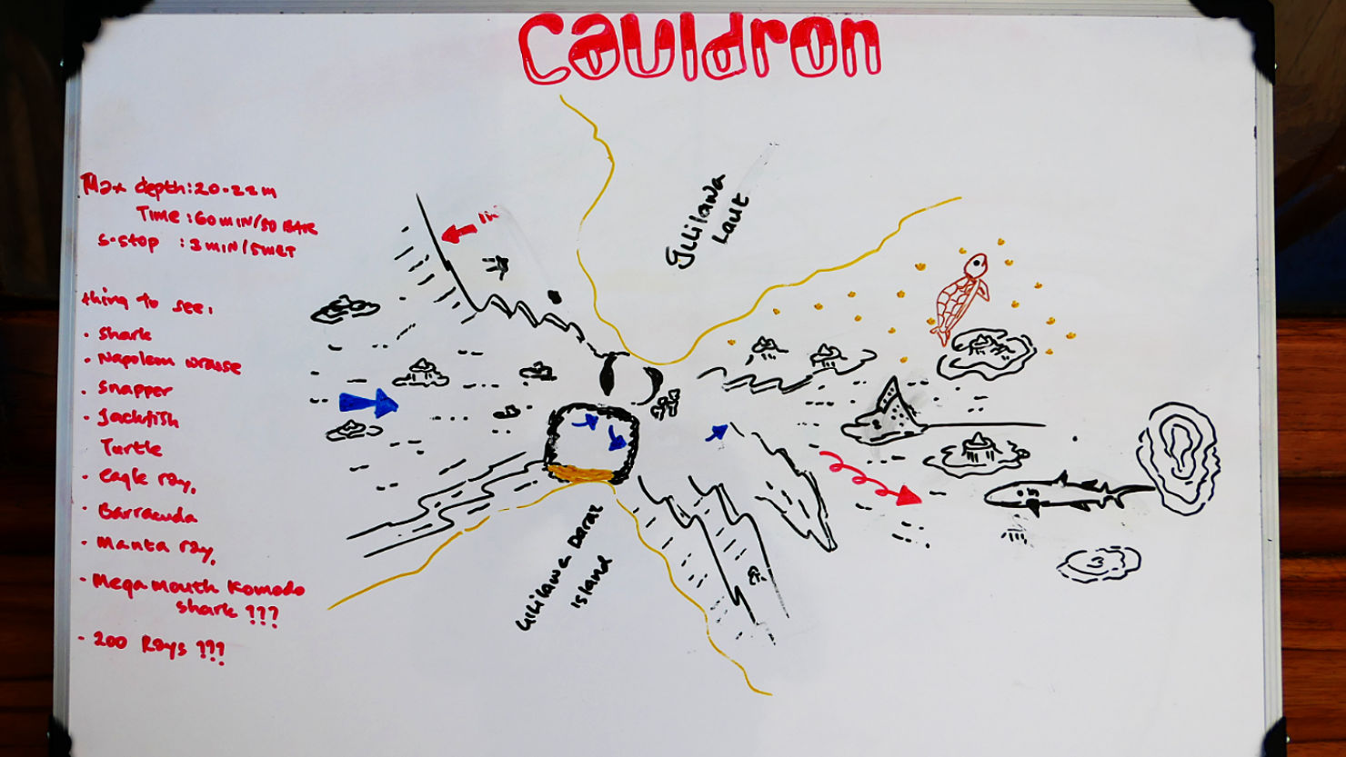
Dive site map for the "Cauldron" pre-dive briefing. Komodo Natl Park (#1), Indonesia (Flores).
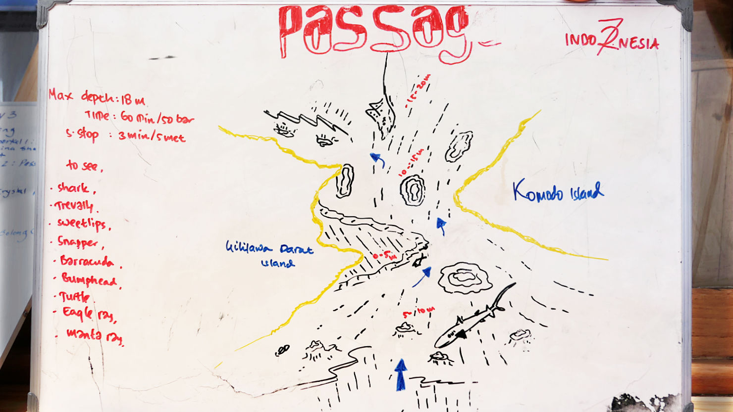
Dive site map for the "Passage" pre-dive briefing. This dive was Alisa's 100th dive. Komodo Natl Park (#1), Indonesia (Flores).
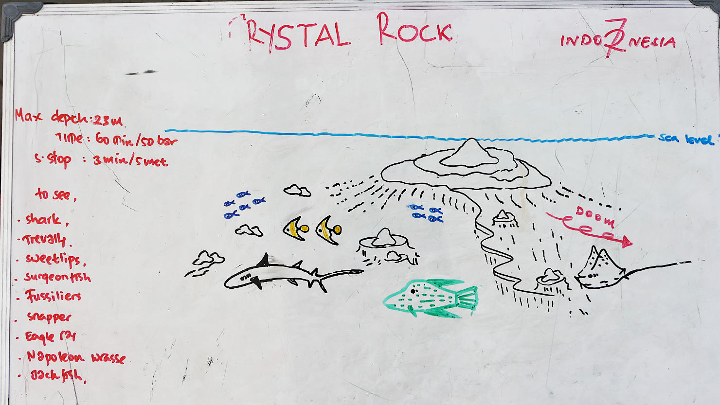
Dive site map for the "Crystal Rock" pre-dive briefing. This was Rick's 100th dive. Komodo Natl Park (#1), Indonesia (Flores).

Dive site map for the "Batu Bolong" pre-dive briefing. Komodo Natl Park (#1), Indonesia (Flores).

Our ride to and from each dive site. Komodo Natl Park (#1), Indonesia (Flores).
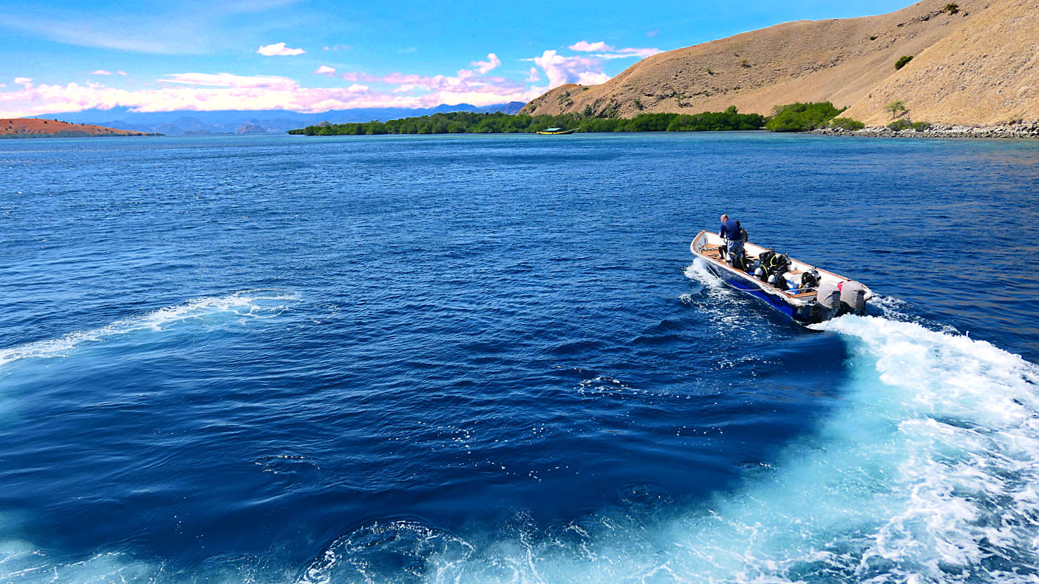
Our ride to and from each dive site. Komodo Natl Park (#1), Indonesia (Flores).
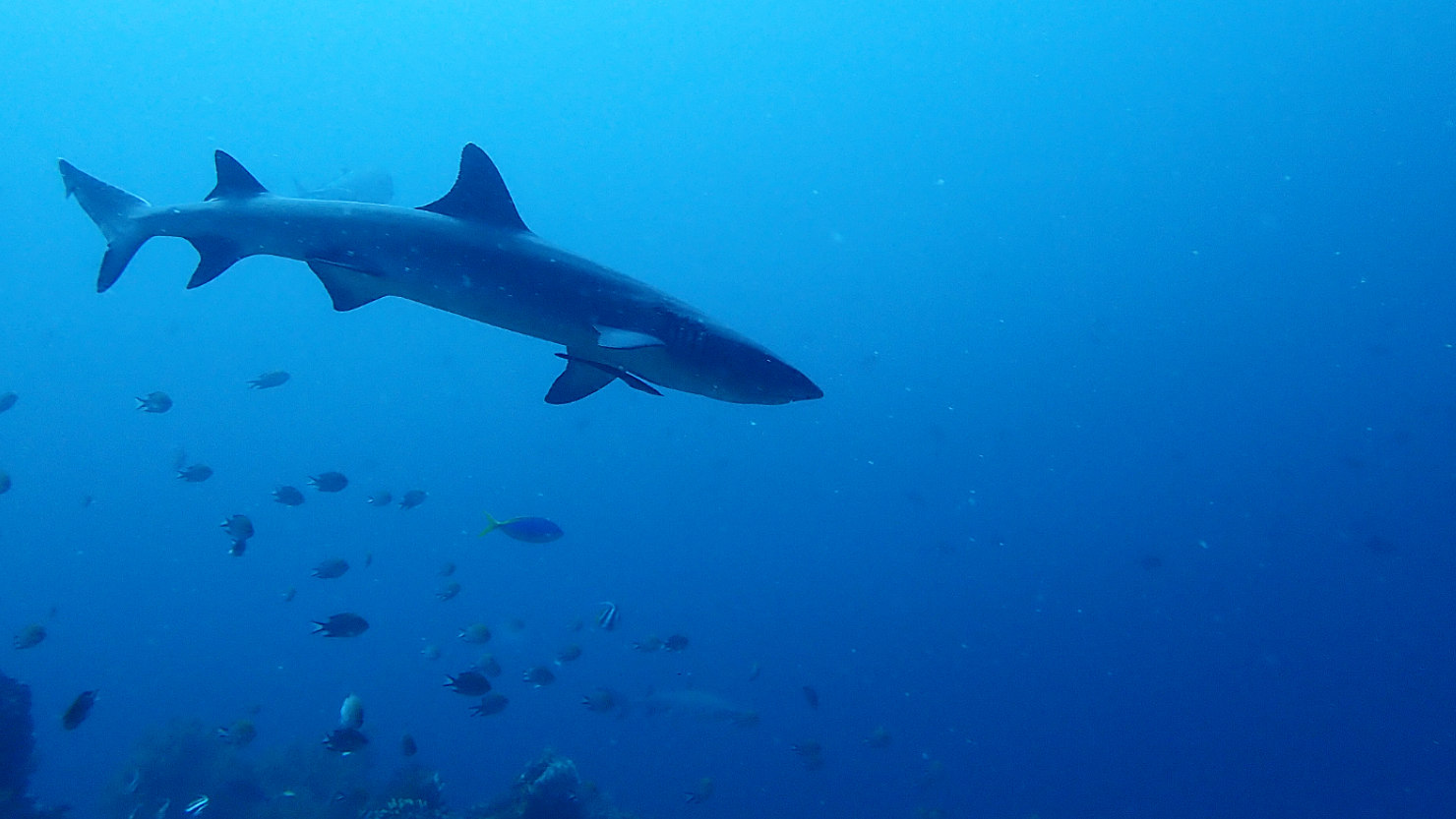
Reef Shark at Crystal Rock dive site. Komodo Natl Park (#1), Indonesia (Flores).
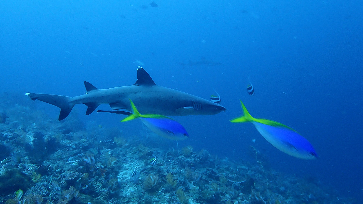
White Tip Reef shark with Blue Fusilier fish at Crystal Rock dive site. Komodo Natl Park (#1), Indonesia (Flores).
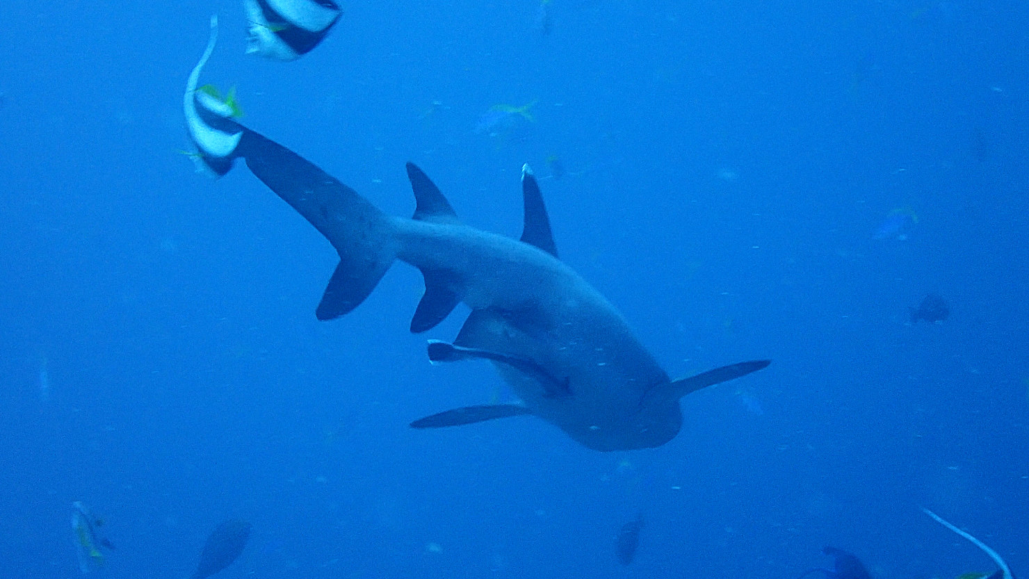
White Tip Reef Shark at Crystal Rock dive site. Komodo Natl Park (#1), Indonesia (Flores).
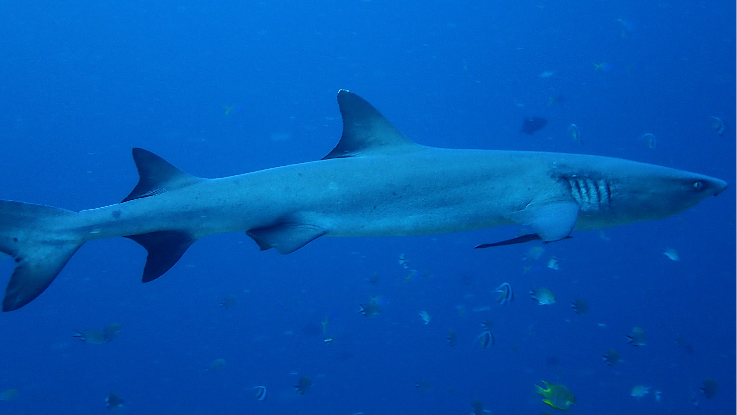
Reef Shark at Crystal Rock dive site. Komodo Natl Park (#1), Indonesia (Flores).
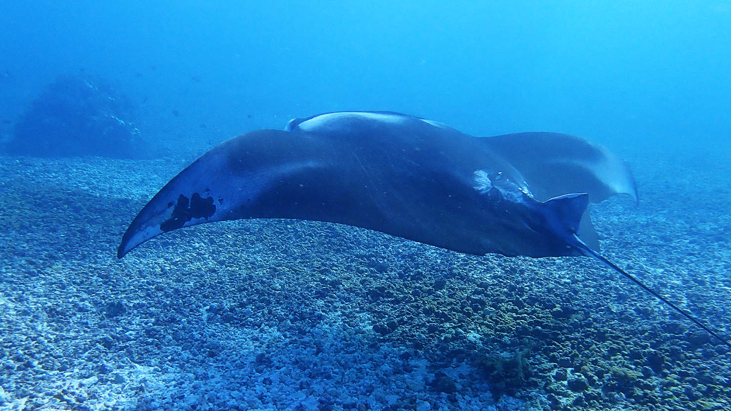
Manta Ray at Manta Point dive site. Komodo Natl Park (#1), Indonesia (Flores).
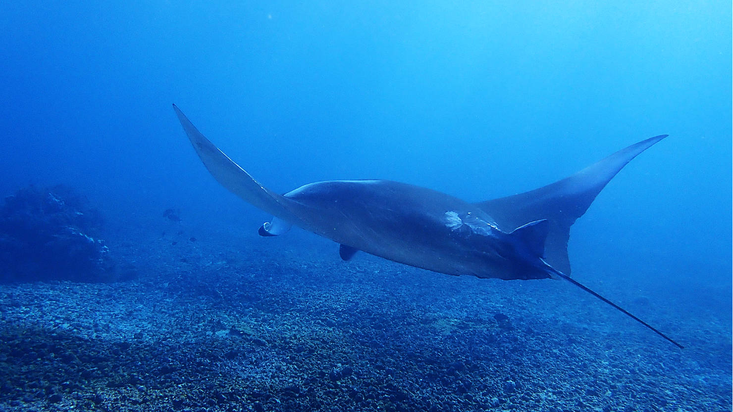
Manta Ray at Manta Point dive site. Komodo Natl Park (#1), Indonesia (Flores).
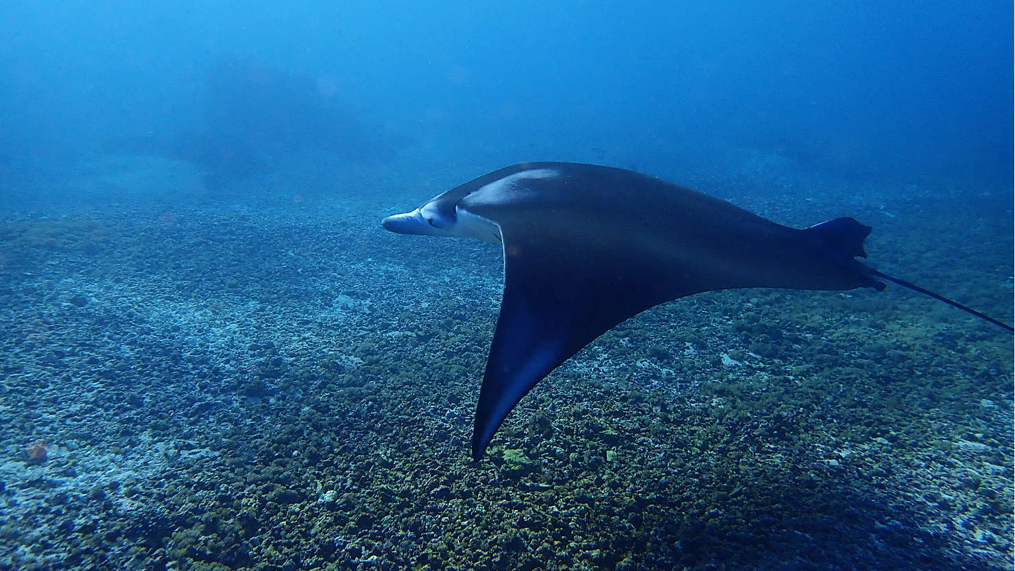
Manta Ray at Manta Point dive site. Komodo Natl Park (#1), Indonesia (Flores).
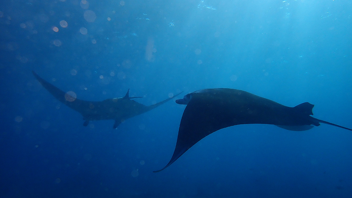
Manta Rays at Manta Point dive site. Komodo Natl Park (#1), Indonesia (Flores).
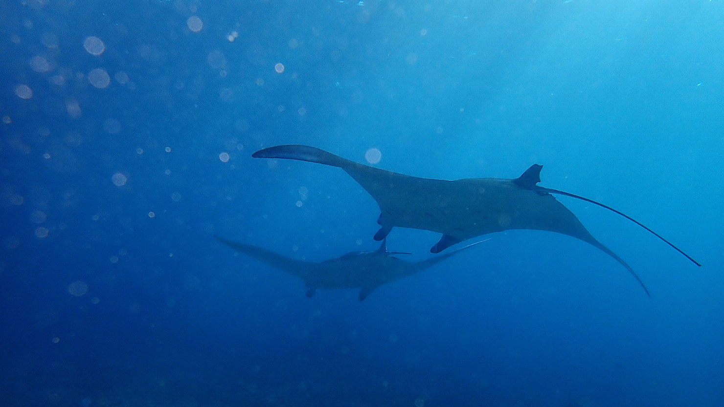
Manta Rays at Manta Point dive site. Komodo Natl Park (#1), Indonesia (Flores).
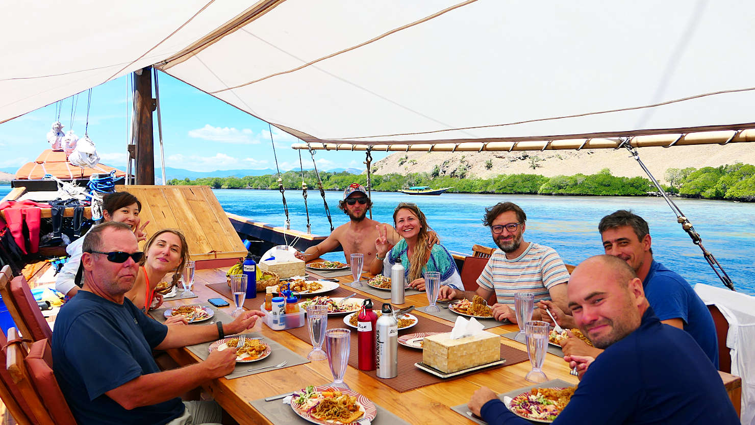
Our live aboard group having lunch. Komodo Natl Park (#1), Indonesia (Flores).

Gili Lawa Darat sunset summit hike. Komodo Natl Park (#1), Indonesia (Flores).
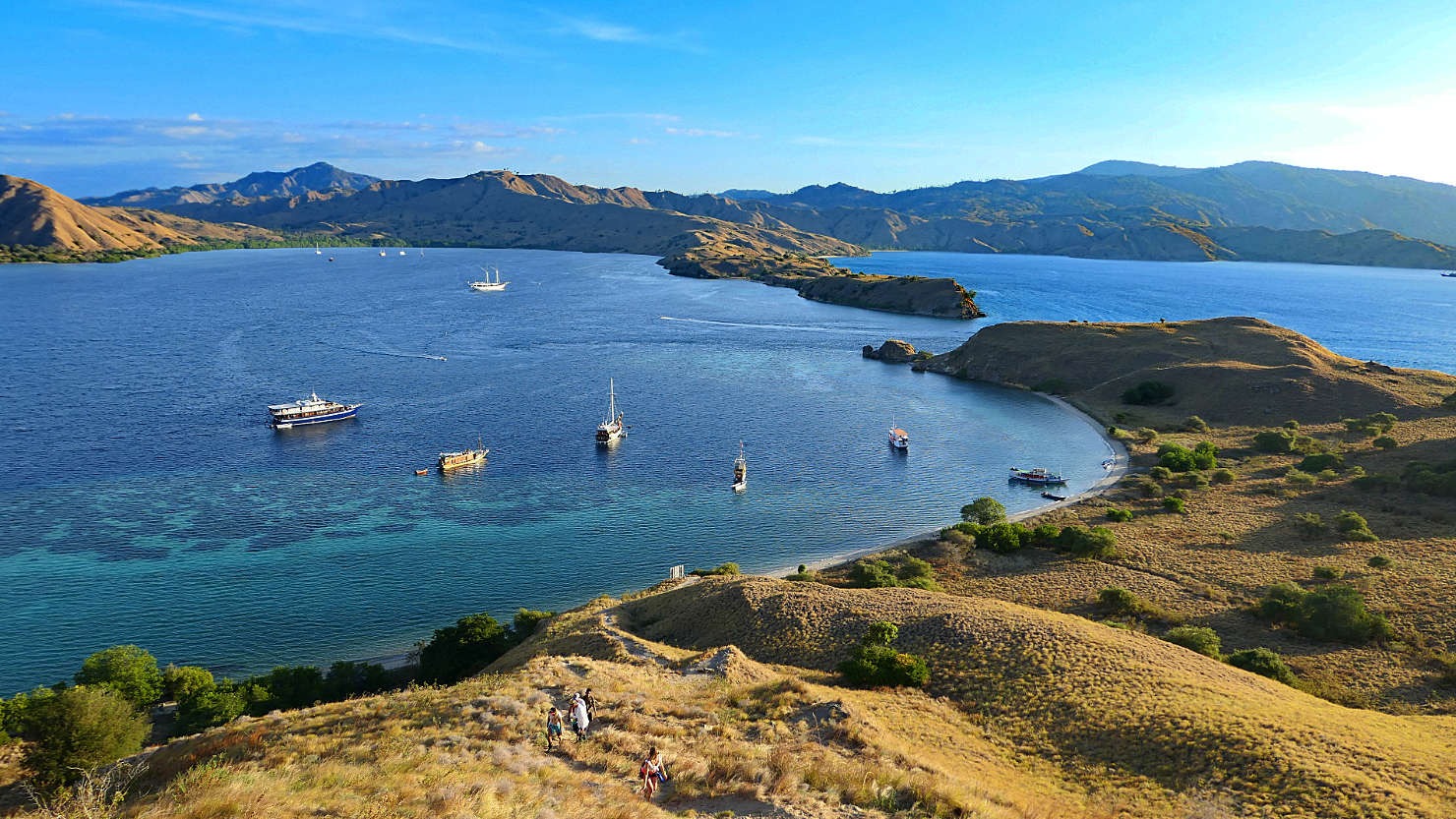
Sunset hike view looking back at the Gili Lawa Darat bay. The gap in between the islands was one of our dive sites, the Passage. Komodo Natl Park (#1), Indonesia (Flores).

Sunset hike view looking back at the Gili Lawa Darat bay. The gap in between the islands was one of our dive sites, the Passage. Komodo Natl Park (#1), Indonesia (Flores).
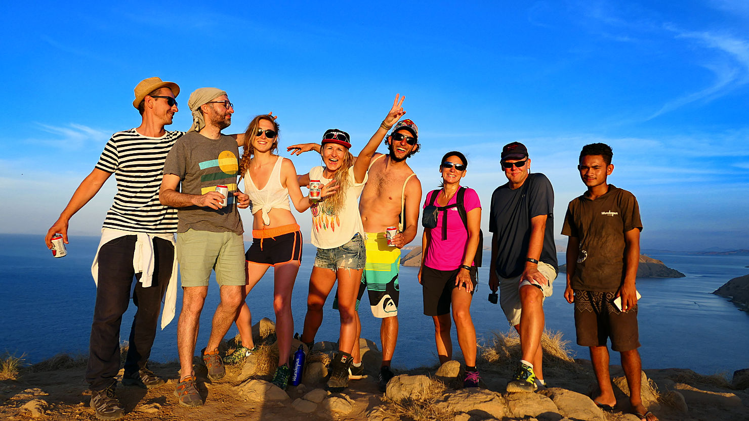
Our live aboard group on our sunset hike up Gili Lawa Darat. Komodo Natl Park (#1), Indonesia (Flores).
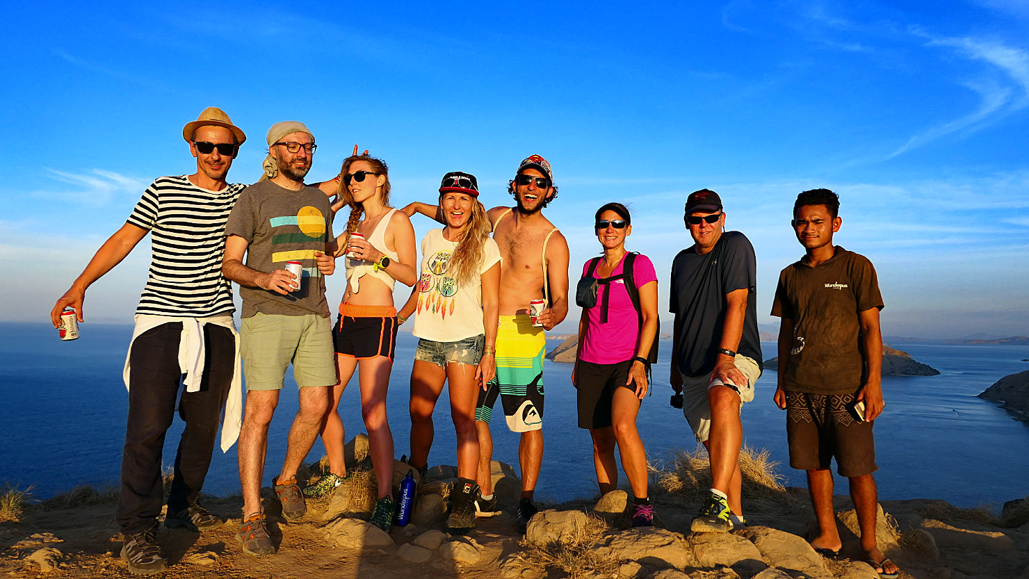
Our live aboard group on our sunset hike up Gili Lawa Darat. Komodo Natl Park (#1), Indonesia (Flores).

Sunset from Gili Lawa Darat. See the steam spewing from the volcano in the distance on the island of Sumbawa. Komodo Natl Park (#1), Indonesia (Flores).
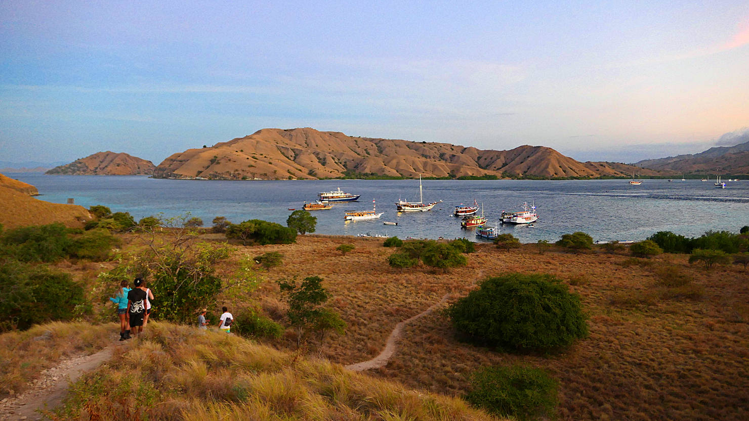
Trail heading back to the boat after our sunset hike on Gili Lawa Darat. Komodo Natl Park (#1), Indonesia (Flores).
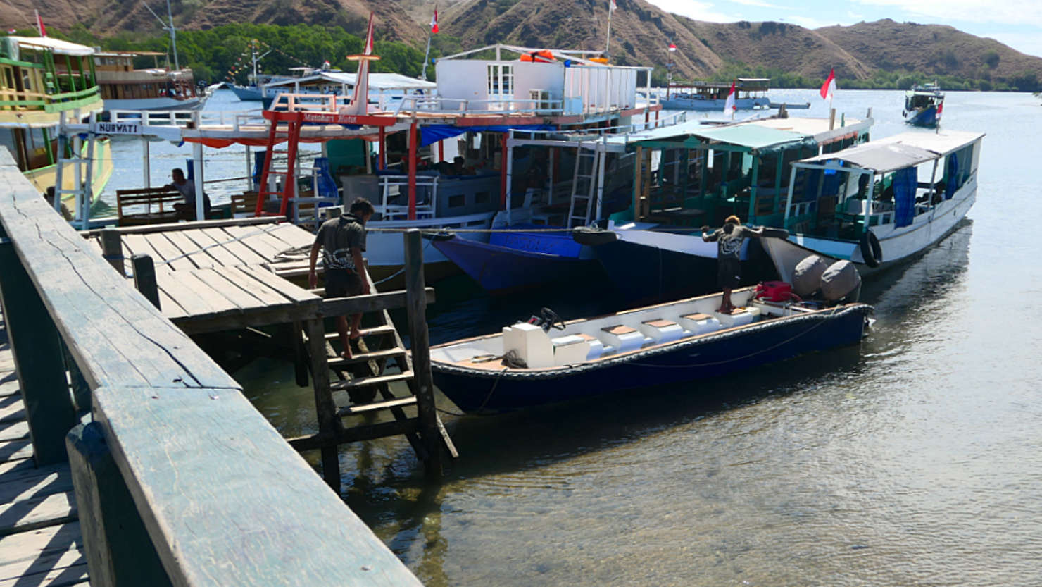
Our speed boat dropping us off at the Rinca Island dock for our Komodo Dragon viewing trek. Komodo Natl Park (#1), Indonesia (Flores).

Our live aboard group getting ready to head into the park to see komodo dragons. Komodo Natl Park (#1), Indonesia (Flores).

Komodo dragon walking around Rinca Island. Komodo Natl Park (#1), Indonesia (Flores).
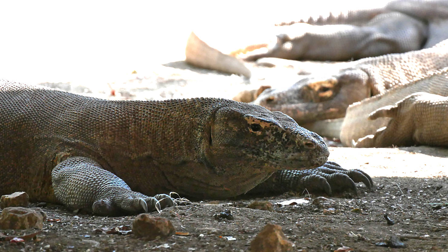
Komodo dragons on Rinca Island. Komodo Natl Park (#1), Indonesia (Flores).
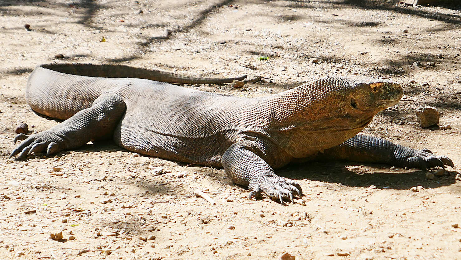
Komodo dragon on Rinca Island. Komodo Natl Park (#1), Indonesia (Flores).

Komodo dragon on Rinca Island. Komodo Natl Park (#1), Indonesia (Flores).
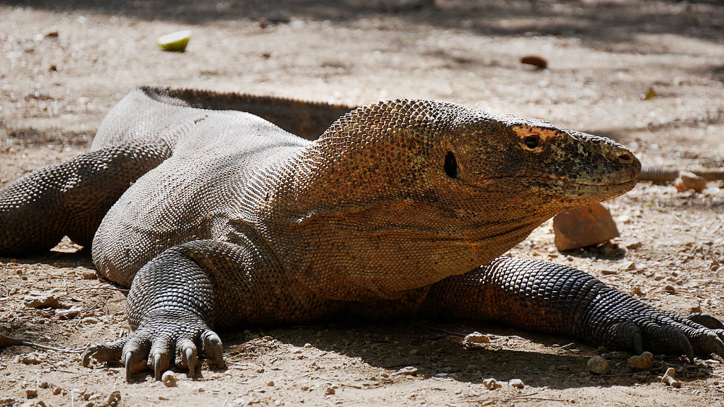
Komodo dragon on Rinca Island. Komodo Natl Park (#1), Indonesia (Flores).
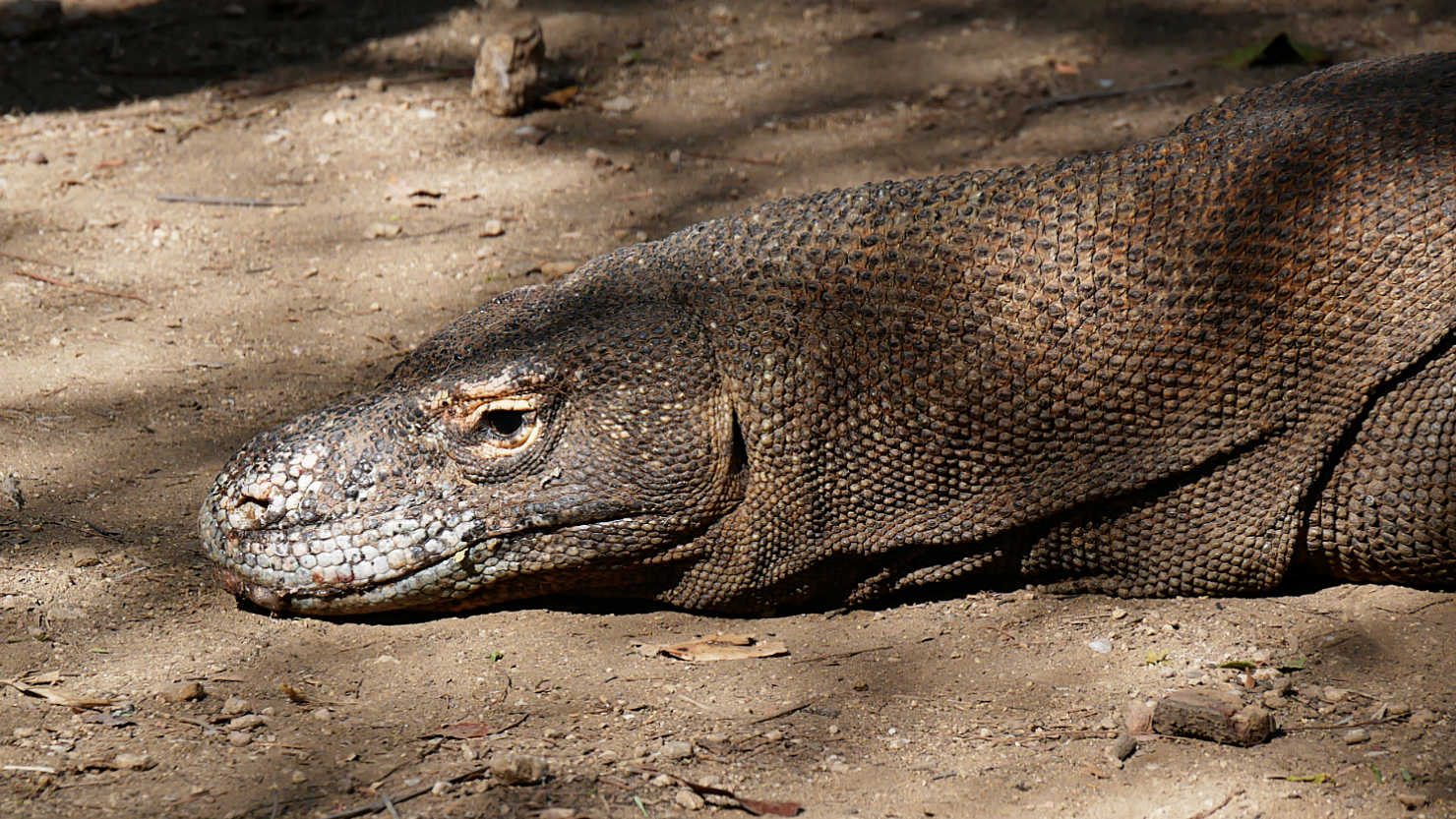
Close-up of a Komodo dragon on Rinca Island. Komodo Natl Park (#1), Indonesia (Flores).
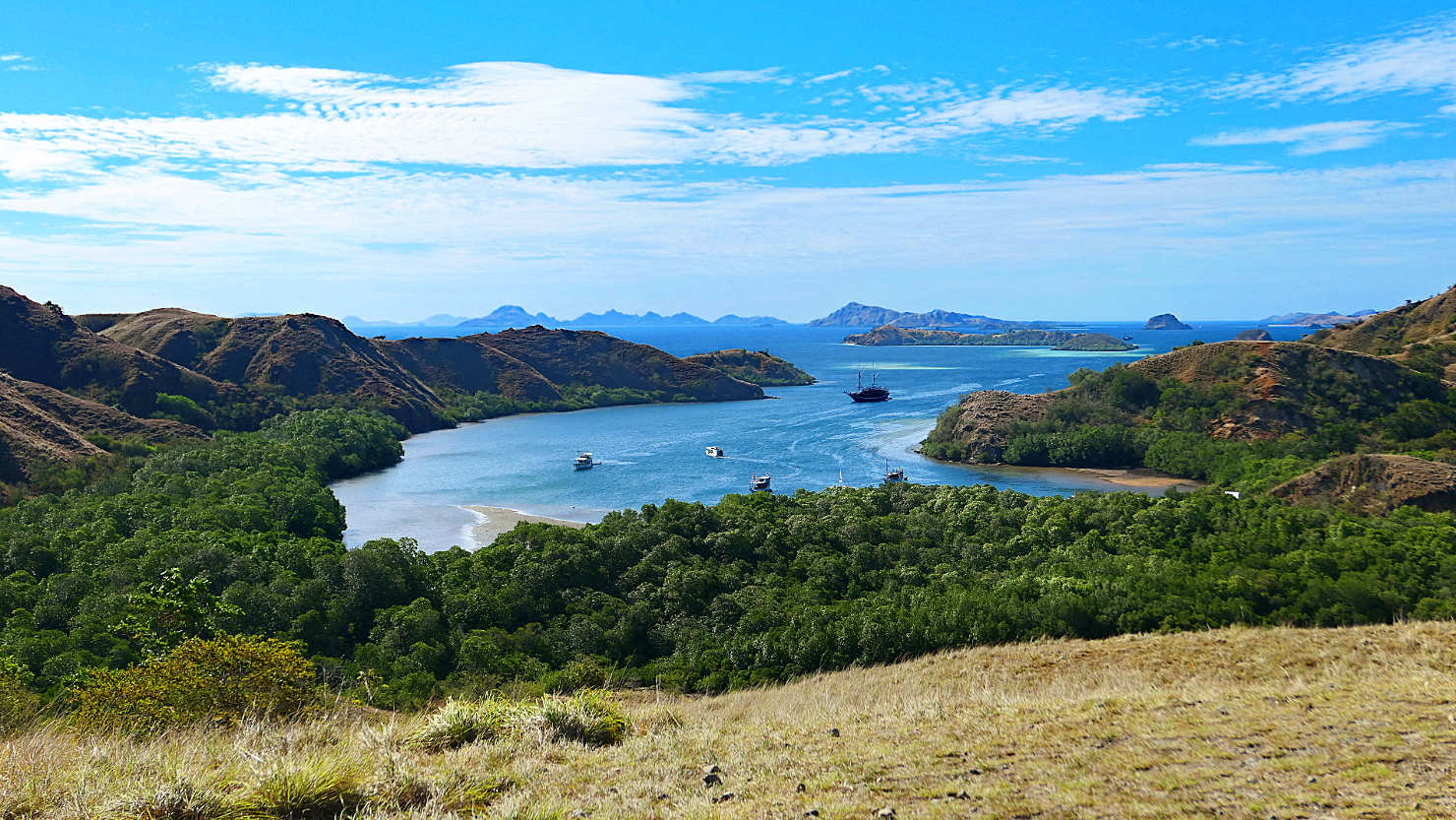
View of Rinca Island bay. Komodo Natl Park (#1), Indonesia (Flores).

Closer view of Rinca Island Bay. Komodo Natl Park (#1), Indonesia (Flores).
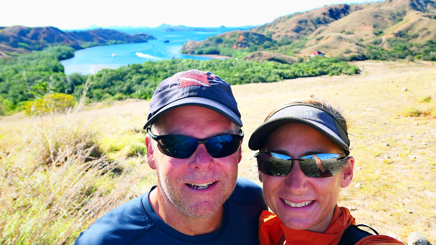
Rick and Alisa with Rinca Island Bay in the distance. Komodo Natl Park (#1), Indonesia (Flores).
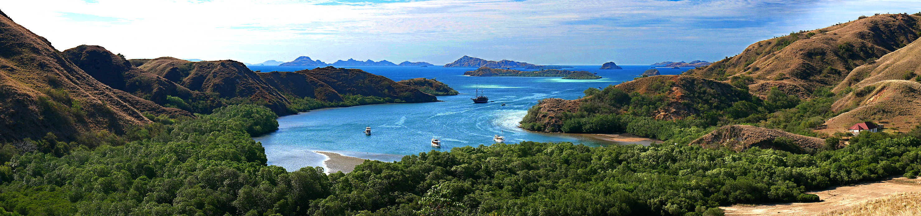
Panorama of Rinca Island Bay. Komodo Natl Park (#1), Indonesia (Flores).
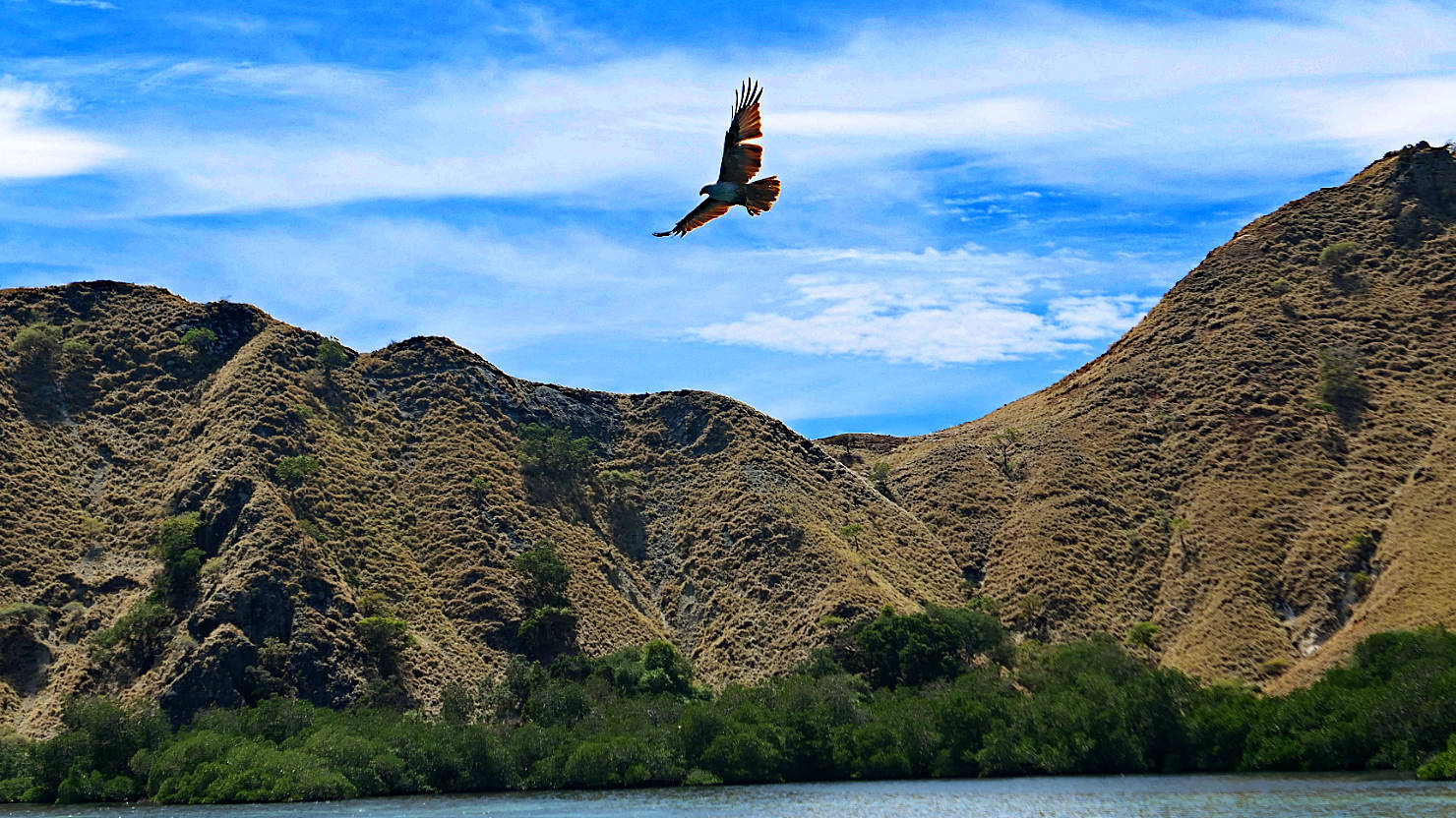
Large bird flying. Komodo Natl Park (#1), Indonesia (Flores).

One of the many beautiful sunsets. Komodo Natl Park (#1), Indonesia (Flores).
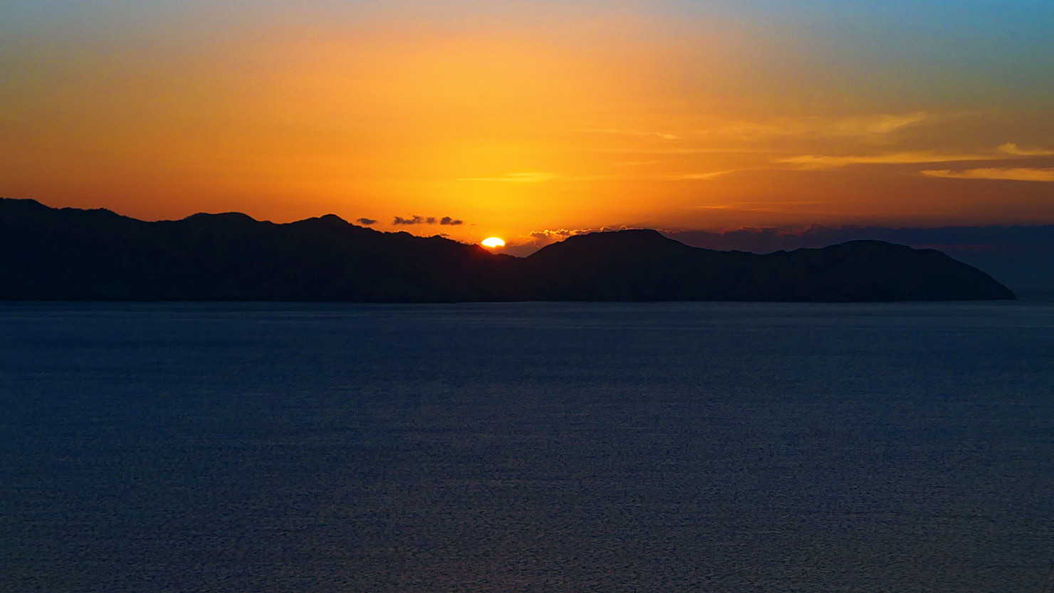
One of the many beautiful sunsets. Komodo Natl Park (#1), Indonesia (Flores).
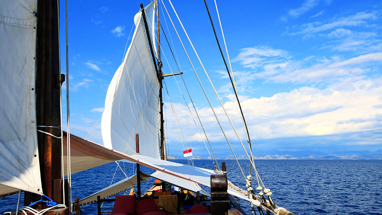
Our live aboard boat under sail. Komodo Natl Park (#1), Indonesia (Flores).

Rick and Alisa on the bow. Komodo Natl Park (#1), Indonesia (Flores).
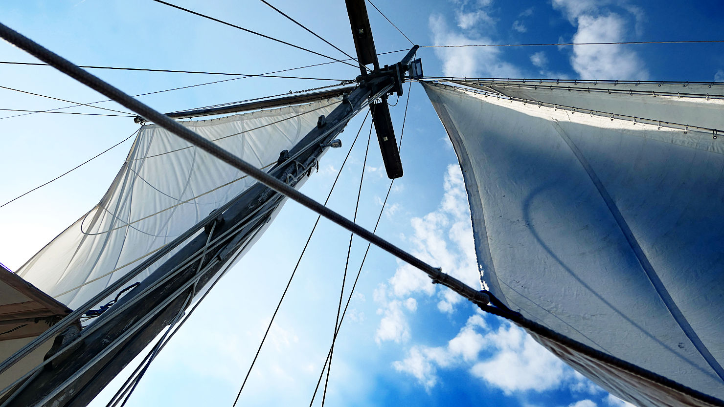
Our live aboard boat under sail. Komodo Natl Park (#1), Indonesia (Flores).
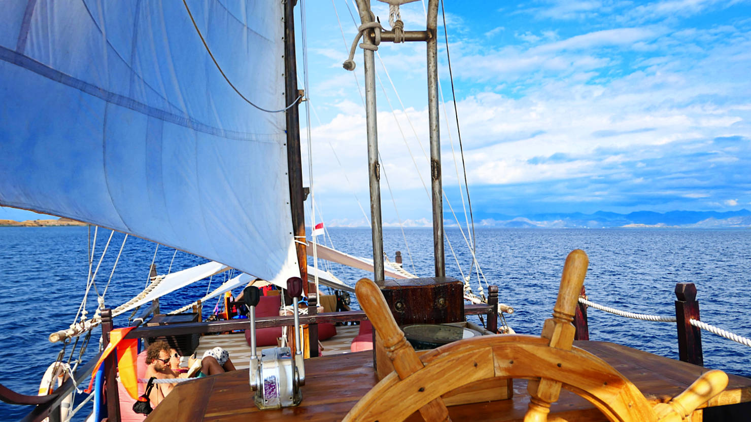
Fly bridge view of our live aboard boat under sail. Komodo Natl Park (#1), Indonesia (Flores).

Rick and Alisa under sail. Komodo Natl Park (#1), Indonesia (Flores).
One of the many beautiful sunsets. Komodo Natl Park (#1), Indonesia (Flores).
Panorama sunset from the boat. Komodo Natl Park (#1), Indonesia (Flores).
Komodo Nat’l Park #1 (Flores)

Komodo Natl Park (#2), Indonesia (Flores)

Our local boat for our 2 day trip. Komodo Natl Park (#2), Indonesia (Flores).
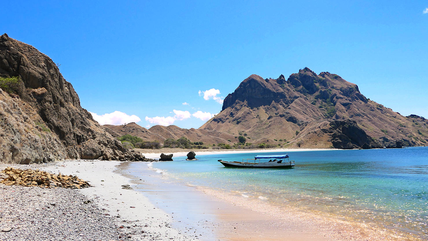
One of several beaches on Padar Island. This is where the trail to the ridge starts. Komodo Natl Park (#2), Indonesia (Flores).

Rick and Jimmy, our guide, at the start of our trek to the top of Padar Island. The stairs last only a short distance before the trail turns to dirt. Komodo Natl Park (#2), Indonesia (Flores).
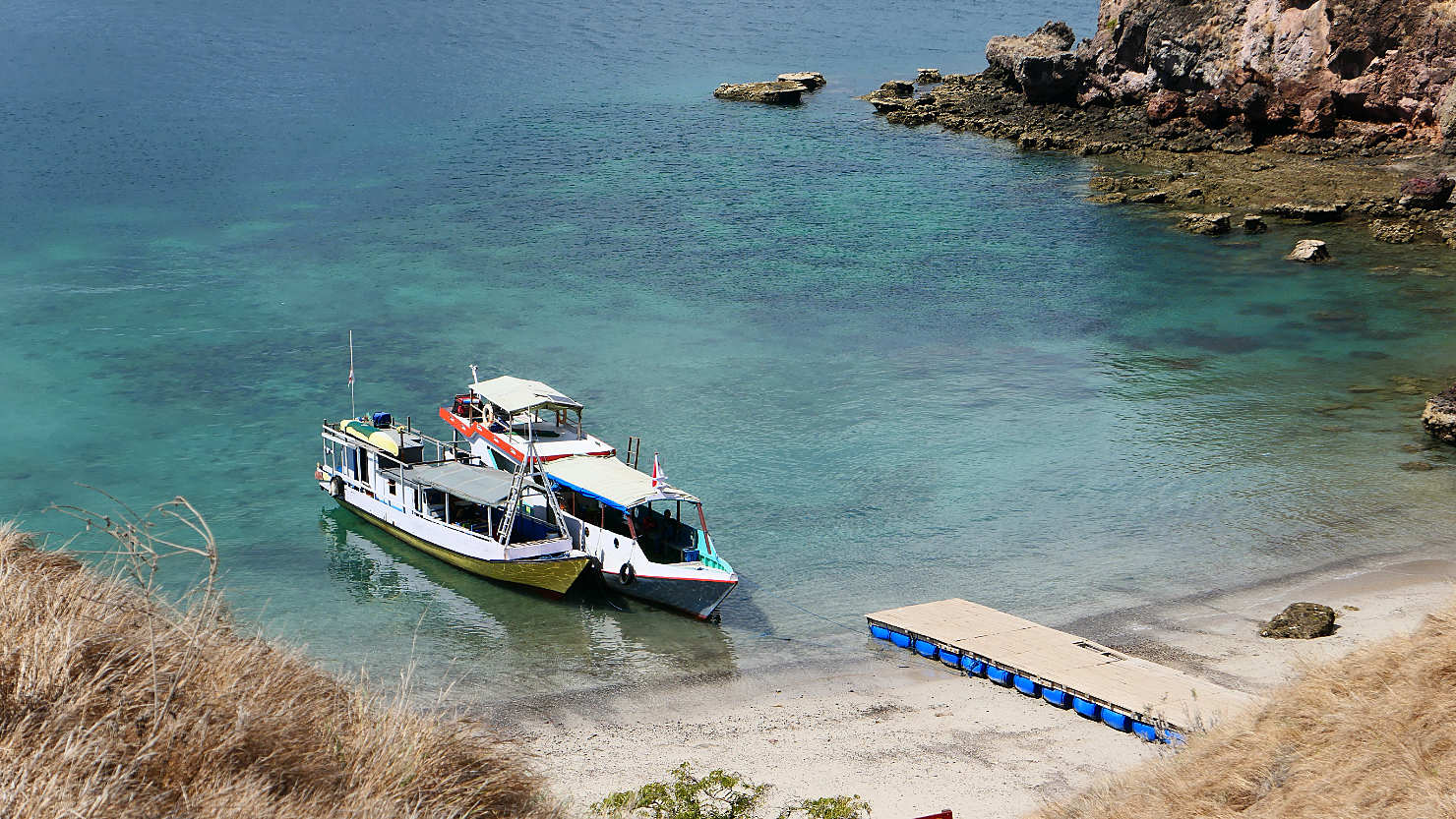
Our boat (on the left) from above. Komodo Natl Park (#2), Indonesia (Flores).

View of Padar Island as we climb the trail to the top. Komodo Natl Park (#2), Indonesia (Flores).
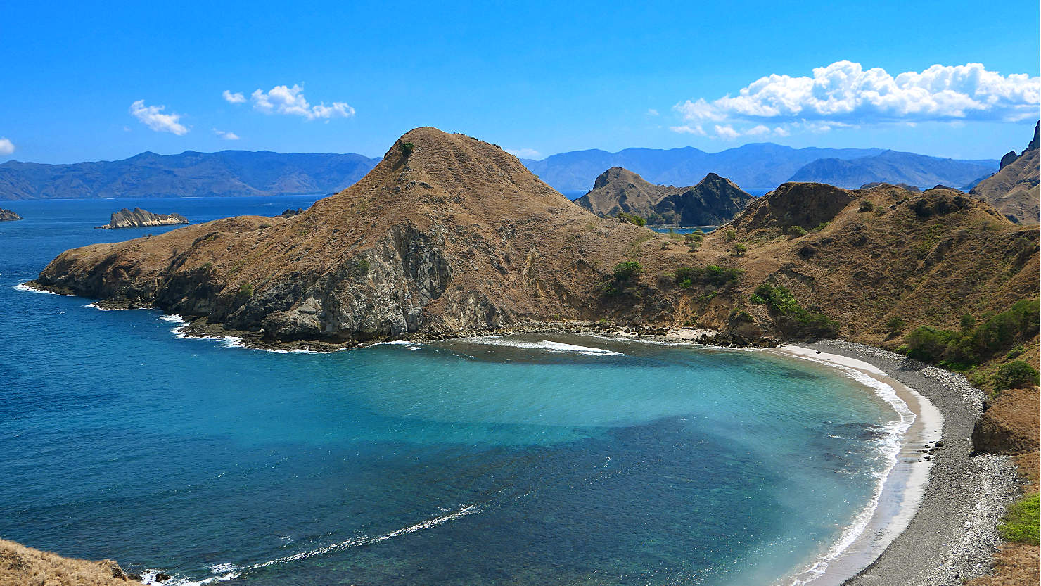
View of Padar Island as we climb the trail to the top. Komodo Natl Park (#2), Indonesia (Flores).

View of Padar Island as we climb the trail to the top. Komodo Natl Park (#2), Indonesia (Flores).

View of Padar Island as we climb the trail to the top. Komodo Natl Park (#2), Indonesia (Flores).

View of Padar Island as we climb the trail to the top. Komodo Island in the distance. Komodo Natl Park (#2), Indonesia (Flores).
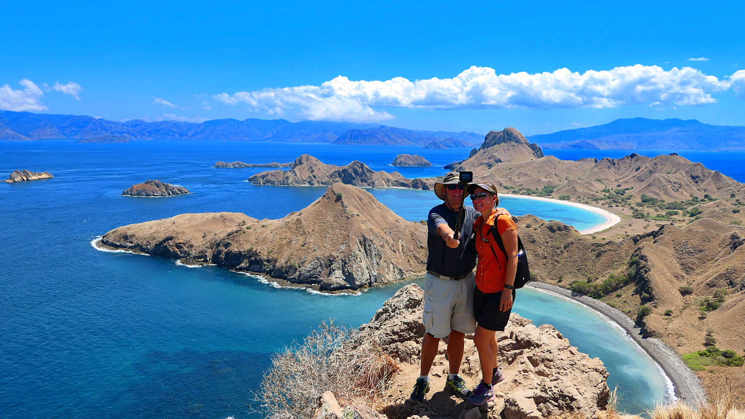
Rick and Alisa at one of the viewpoints on the Padar Island trail. Komodo Natl Park (#2), Indonesia (Flores).
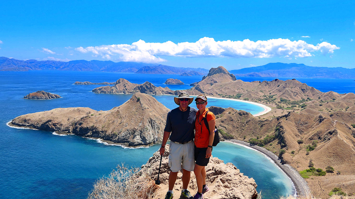
Rick and Alisa at one of the viewpoints on the Padar Island trail. Komodo Natl Park (#2), Indonesia (Flores).

View of Padar Island as we climb the trail to the top. Komodo Island in the distance. Komodo Natl Park (#2), Indonesia (Flores).
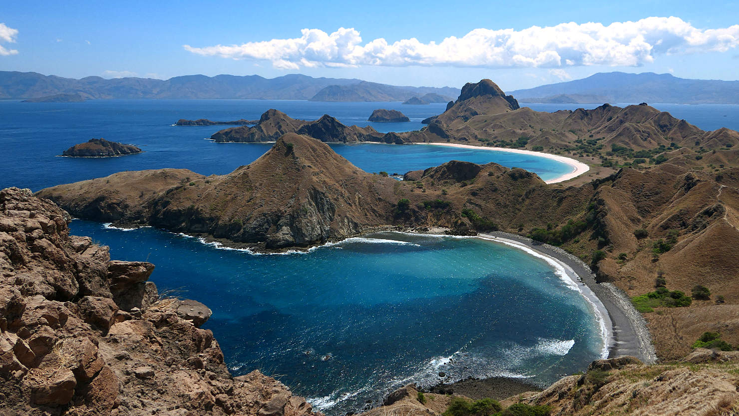
View of Padar Island as we climb the trail to the top. Komodo Island in the distance. Komodo Natl Park (#2), Indonesia (Flores).

Panorama view of Padar Island as we climb the trail to the top. Komodo Island in the distance. Komodo Natl Park (#2), Indonesia (Flores).
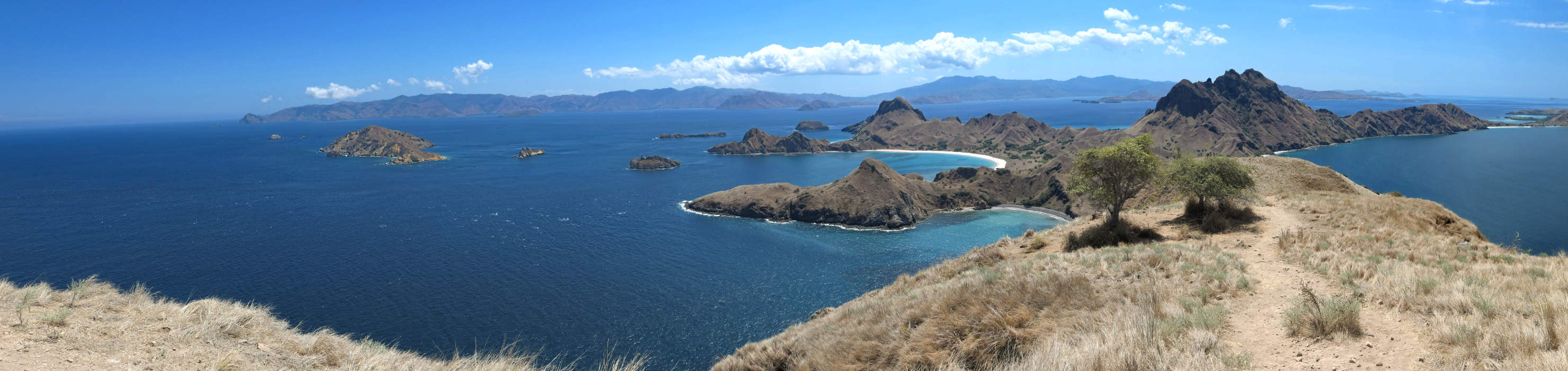
Panorama view of Padar Island as we climb the trail to the top. Komodo Island in the distance. Komodo Natl Park (#2), Indonesia (Flores).
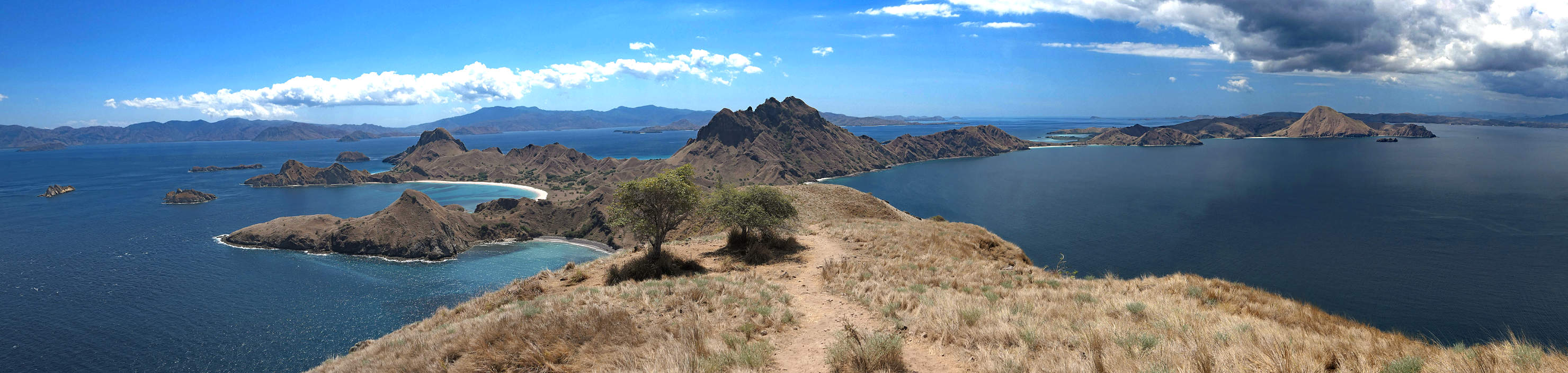
Panorama view of Padar Island as we climb the trail to the top. Komodo Island in the distance. Komodo Natl Park (#2), Indonesia (Flores).

Panorama view of Padar Island as we climb the trail to the top. Komodo Island in the distance. Komodo Natl Park (#2), Indonesia (Flores).
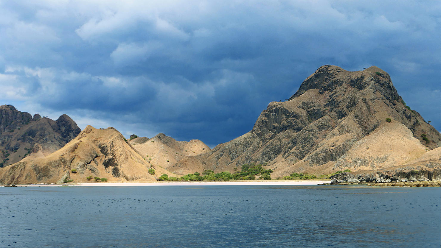
One of the Padar Island beaches. Komodo Natl Park (#2), Indonesia (Flores).

Padar Island landscape. Komodo Natl Park (#2), Indonesia (Flores).
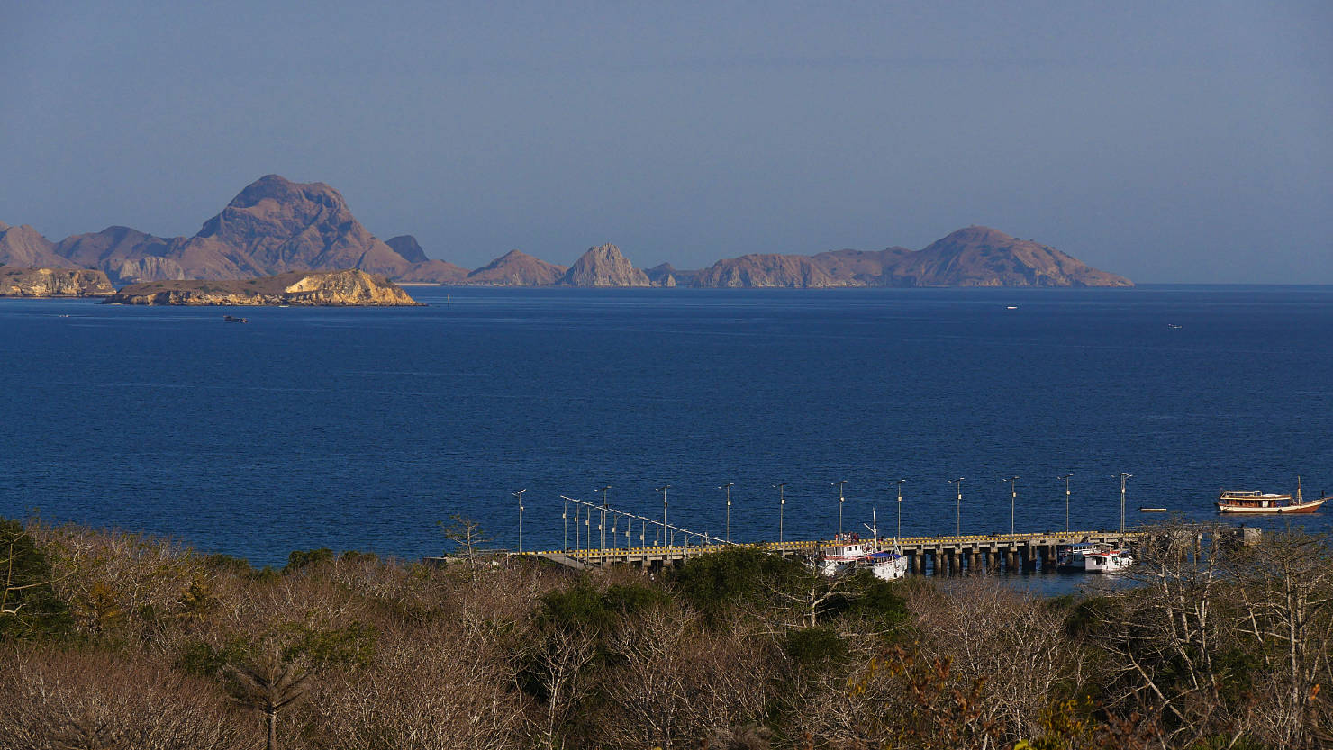
Boat dock for Komodo National Park. This is one of the islands where you come to see the Komodo dragons. Komodo Natl Park (#2), Indonesia (Flores).
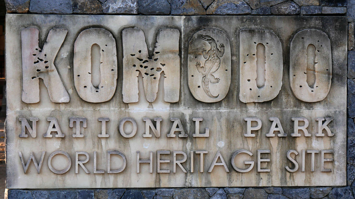
Entrance to Komodo National Park on Komodo Island. Komodo Natl Park (#2), Indonesia (Flores).
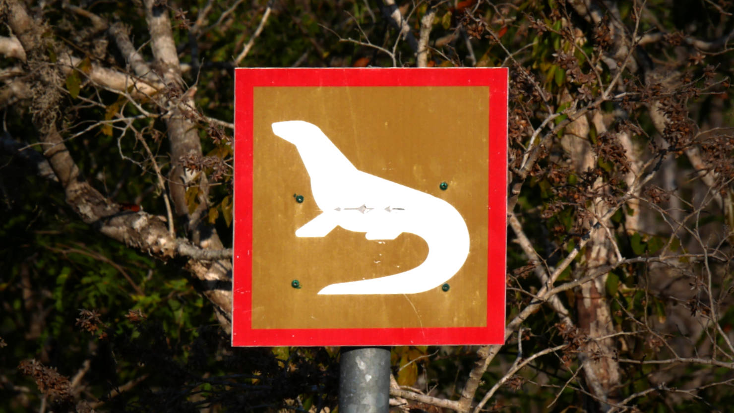
Watch out for Komodo Dragons. This sign was posted along the trail. Komodo Natl Park (#2), Indonesia (Flores).

Large male Komodo Dragon (roughly 80 Kg) laying around. Komodo Natl Park (#2), Indonesia (Flores).
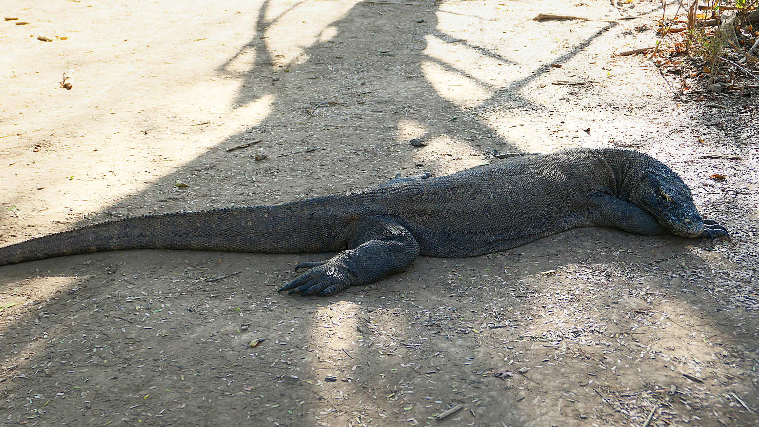
Large male Komodo Dragon (roughly 80 Kg) laying around. Komodo Natl Park (#2), Indonesia (Flores).

Large male Komodo Dragon laying down. Komodo Natl Park (#2), Indonesia (Flores).
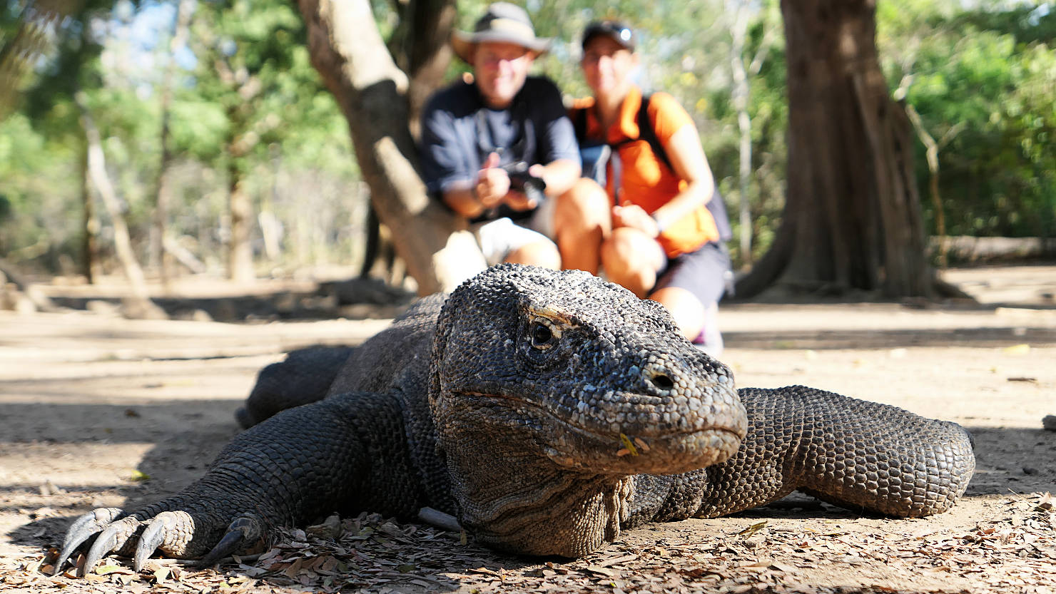
Rick and Alisa behind a large male Komodo Dragon. Our guide wanted to take our photo and promised us it was no problem. Komodo Natl Park (#2), Indonesia (Flores).

Rick and Alisa behind a large male Komodo Dragon. Our guide wanted to take our photo and promised us it was no problem. Komodo Natl Park (#2), Indonesia (Flores).
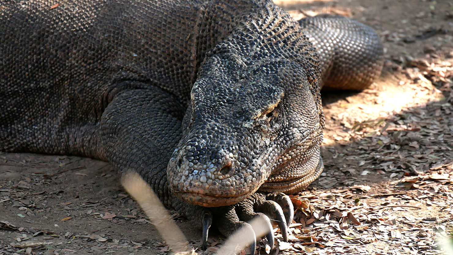
Close-up of the large male Komodo dragon. Komodo Natl Park (#2), Indonesia (Flores).
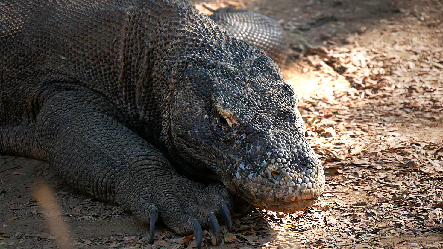
Close-up of the large male Komodo dragon. Komodo Natl Park (#2), Indonesia (Flores).

Close-up of the large male Komodo dragon. Komodo Natl Park (#2), Indonesia (Flores).
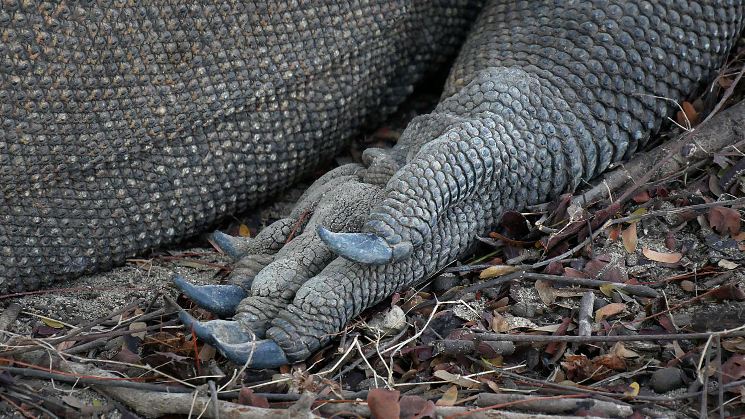
Close-up of his front foot and claws. Komodo Natl Park (#2), Indonesia (Flores).

Close-up of his rear foot and claws. Komodo Natl Park (#2), Indonesia (Flores).
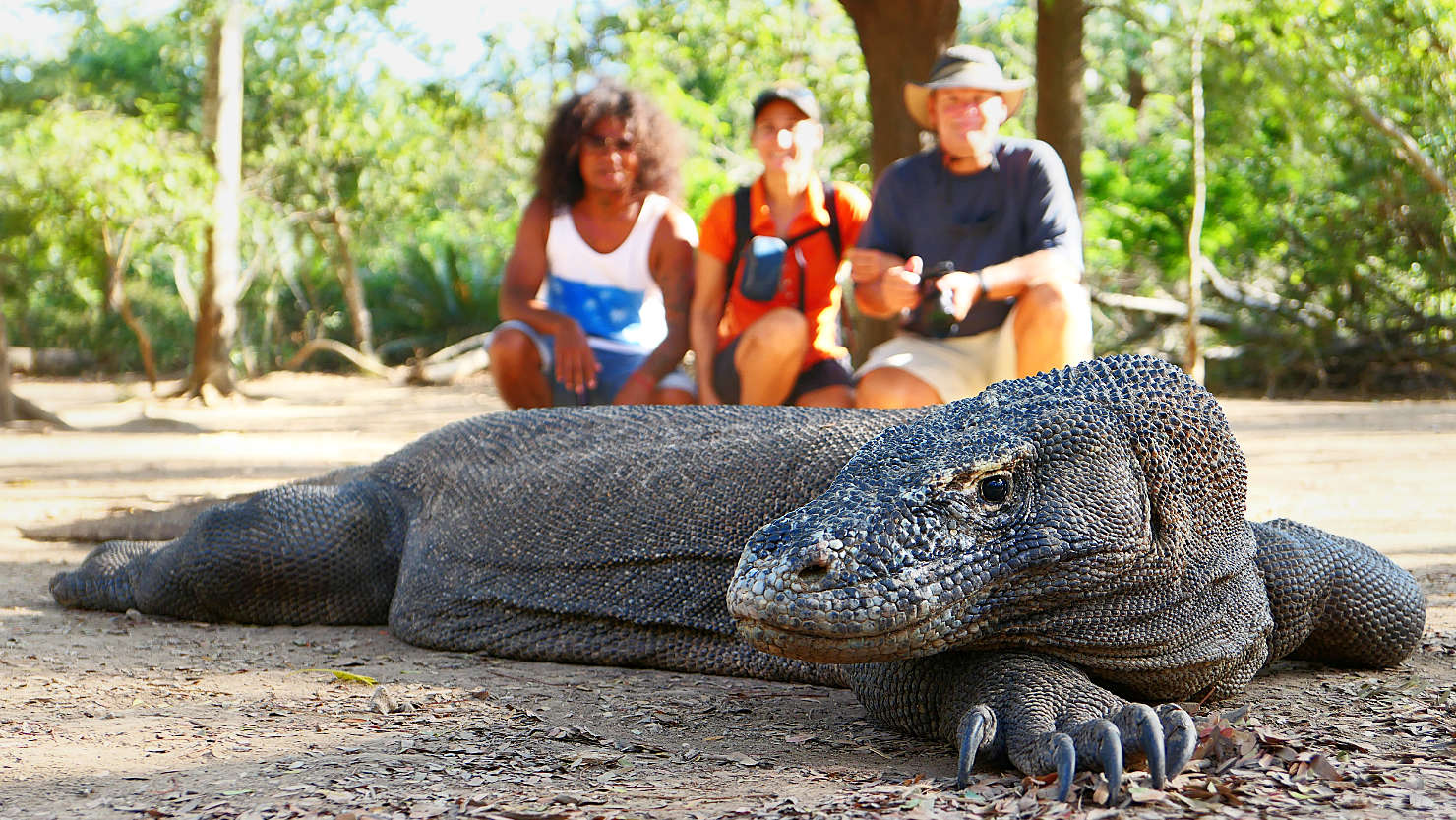
Jimmy (our guide), Alisa, and Rick posing behind a large male komodo dragon. Komodo Natl Park (#2), Indonesia (Flores).
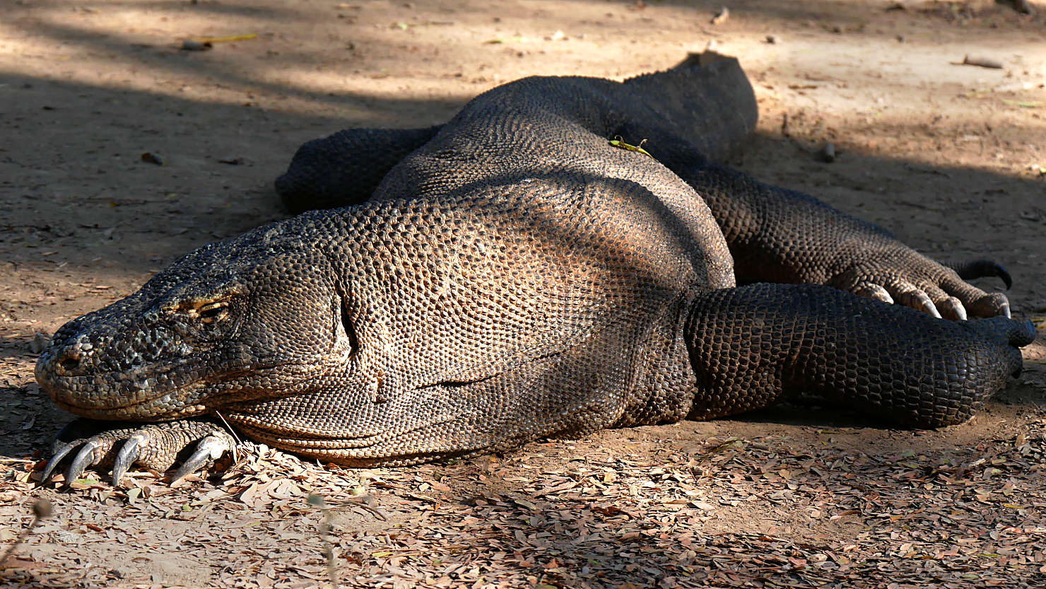
Large male Komodo dragon laying down. Komodo Natl Park (#2), Indonesia (Flores).
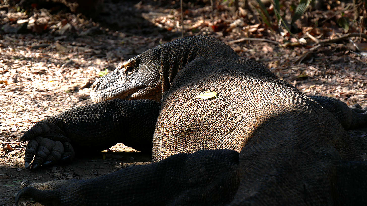
Large male Komodo dragon laying down. Komodo Natl Park (#2), Indonesia (Flores).

Smaller female Komodo dragon (roughly 50 Kg) laying down. You can see where she's moved the dirt around with her feet. Komodo Natl Park (#2), Indonesia (Flores).
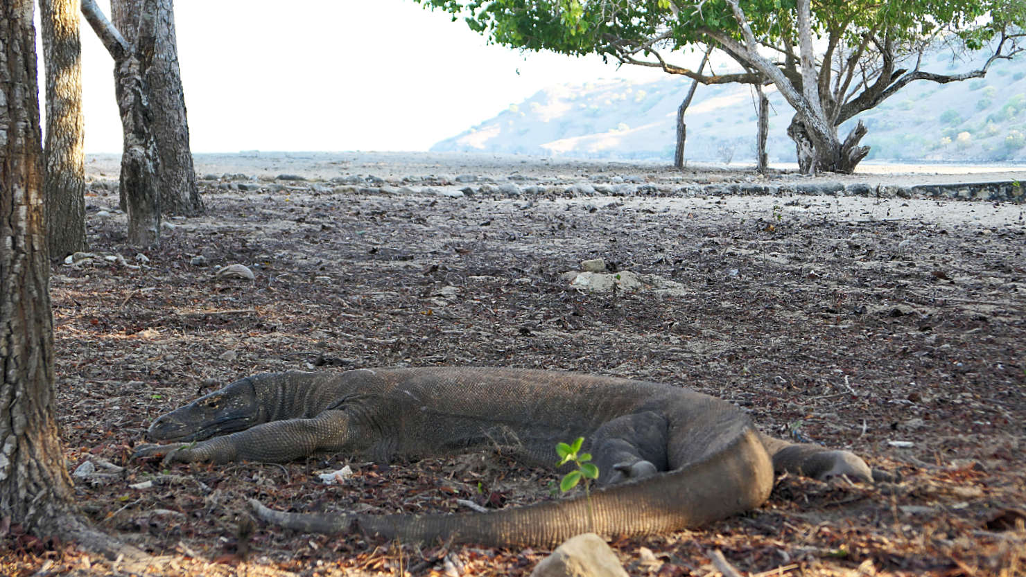
Smaller female Komodo dragon (roughly 50 Kg) laying down. Komodo Natl Park (#2), Indonesia (Flores).
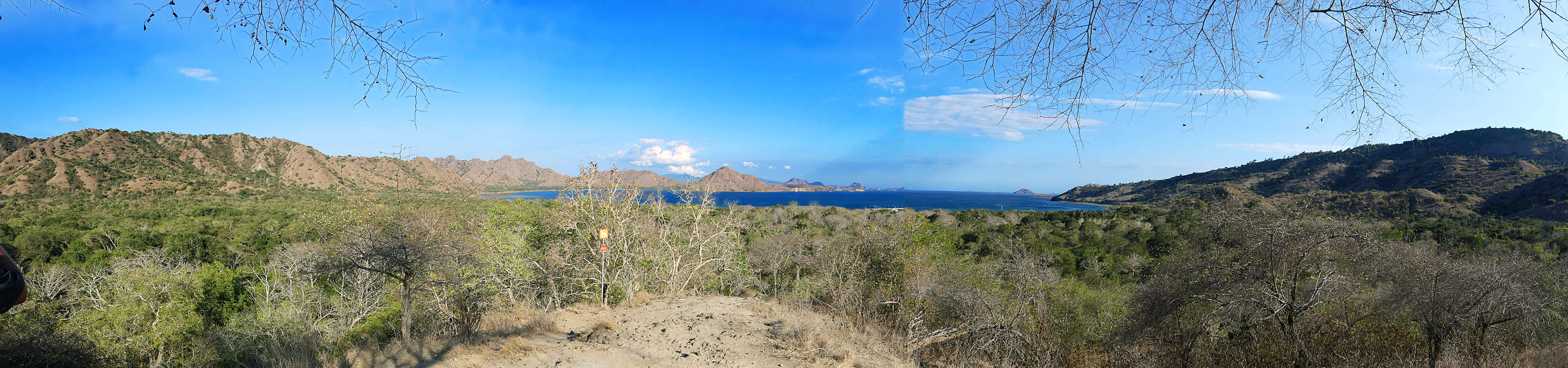
Panorama view from the top of the Komodo trek looking out to the boat dock. Komodo Natl Park (#2), Indonesia (Flores).
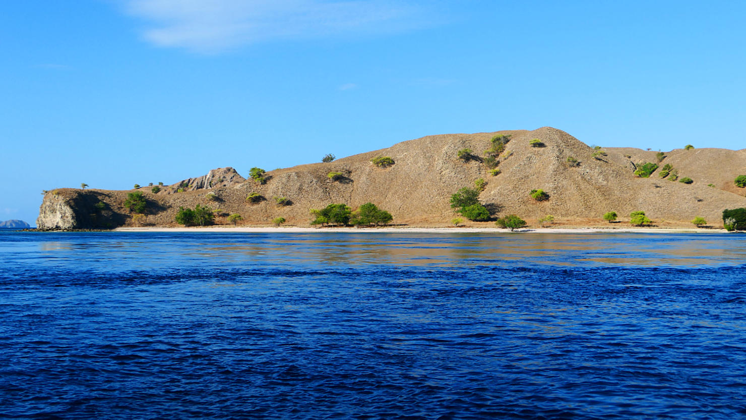
Scenic view of an island from our boat. Komodo Natl Park (#2), Indonesia (Flores).
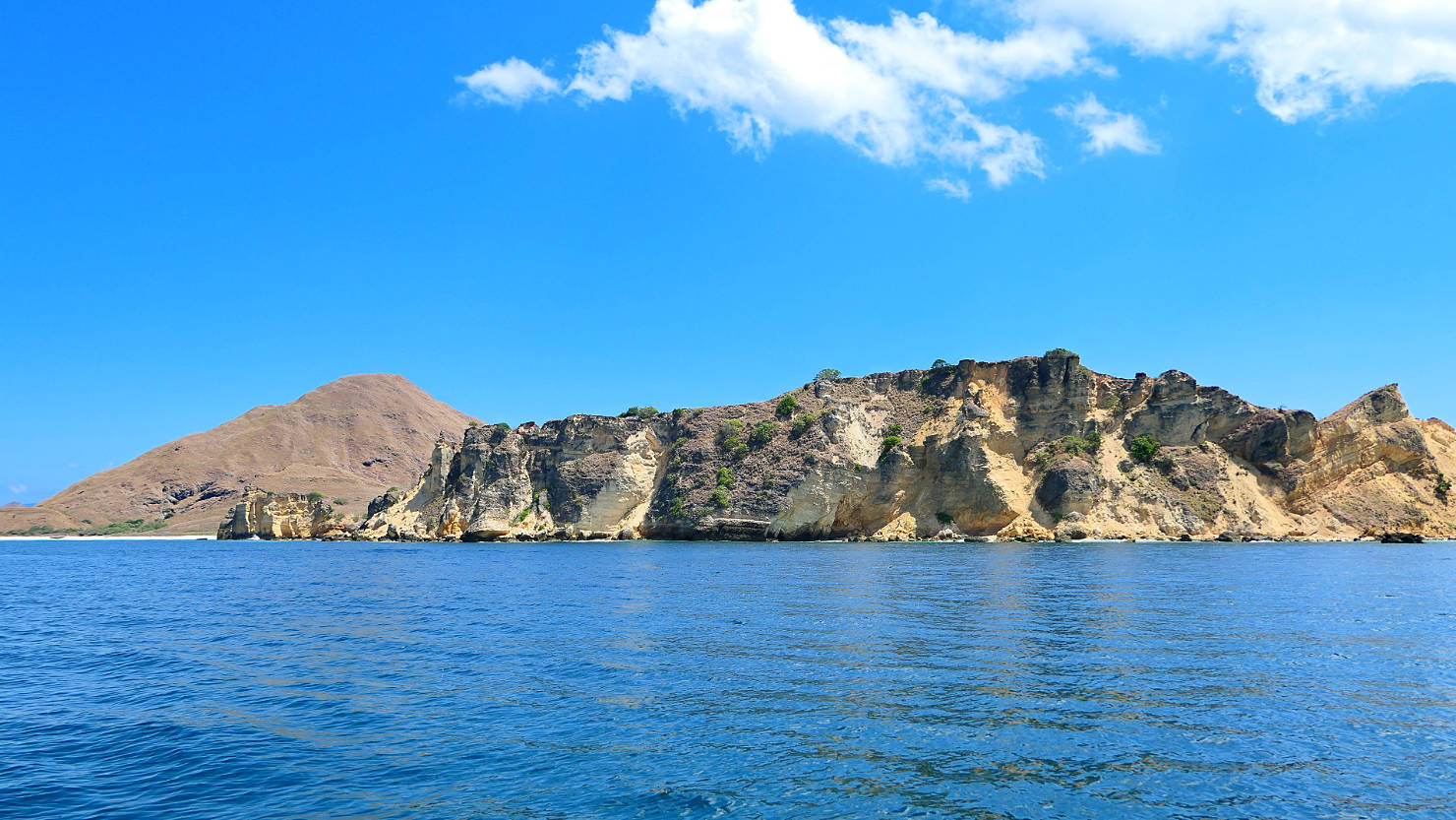
Scenic view of an island from our boat. Komodo Natl Park (#2), Indonesia (Flores).
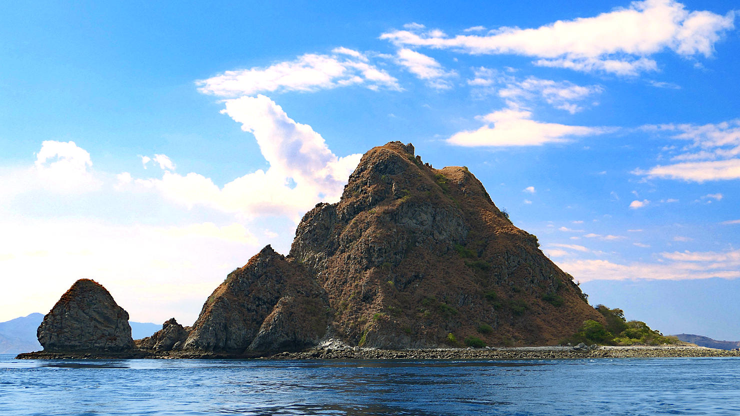
Small island near Padar Island. Komodo Natl Park (#2), Indonesia (Flores).
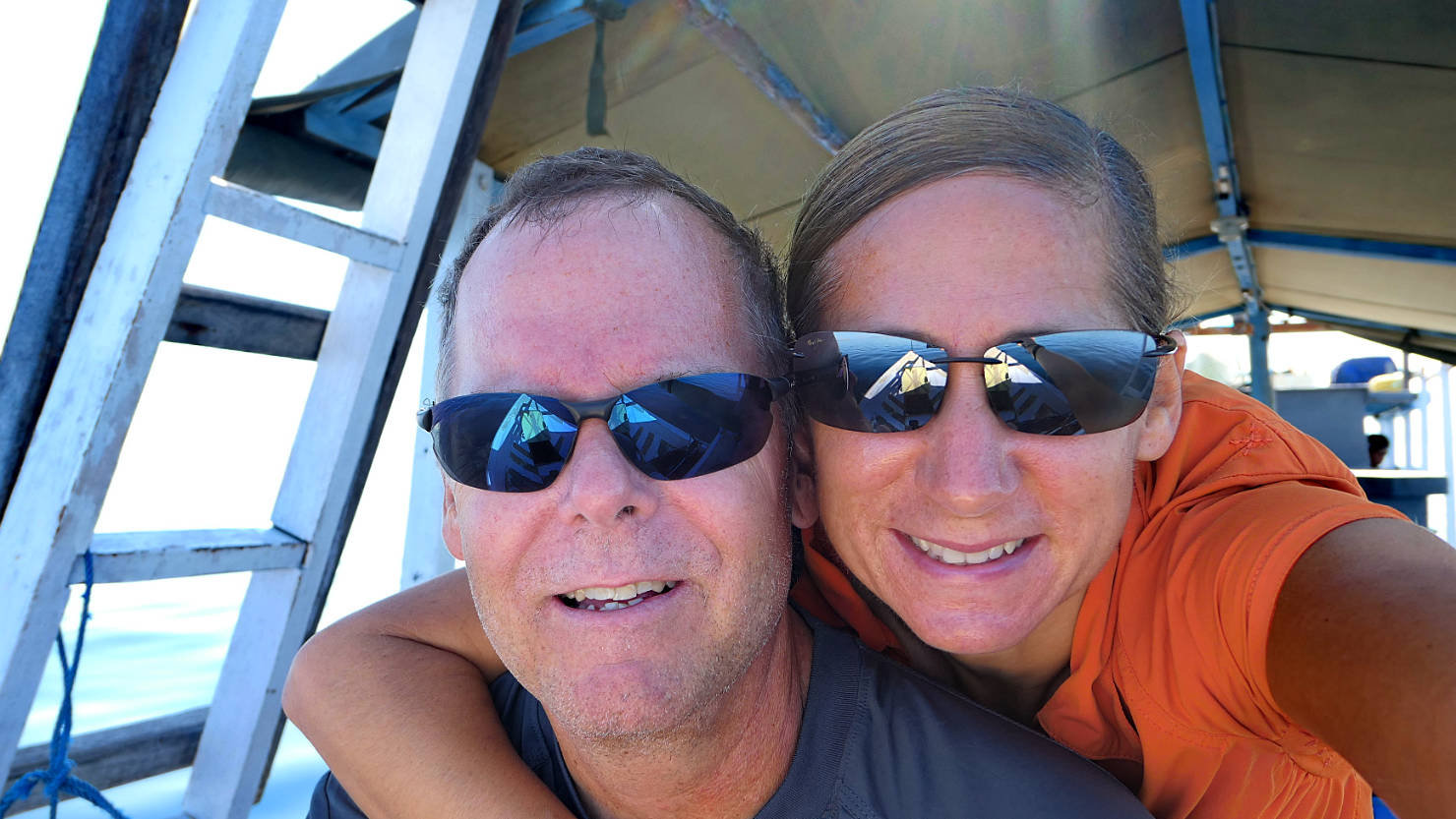
Rick and Alisa riding on the bow. Komodo Natl Park (#2), Indonesia (Flores).
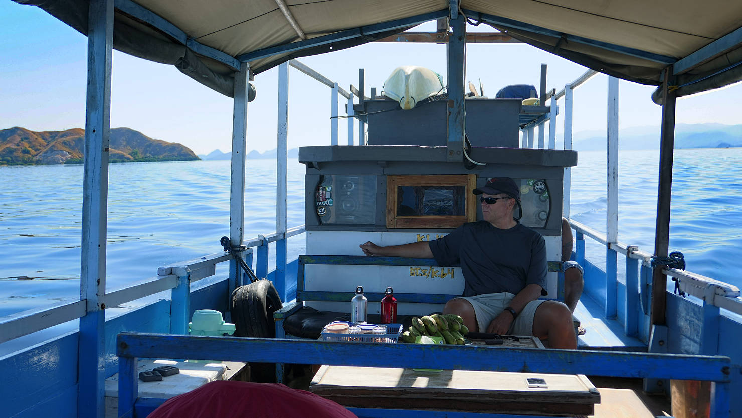
This was our sitting and dining area on the boat. The wheelhouse is directly behind Rick with the galley and head in the very back. Komodo Natl Park (#2), Indonesia (Flores).
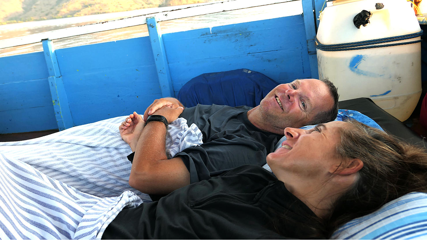
Our "stateroom" for one night. Komodo Natl Park (#2), Indonesia (Flores).
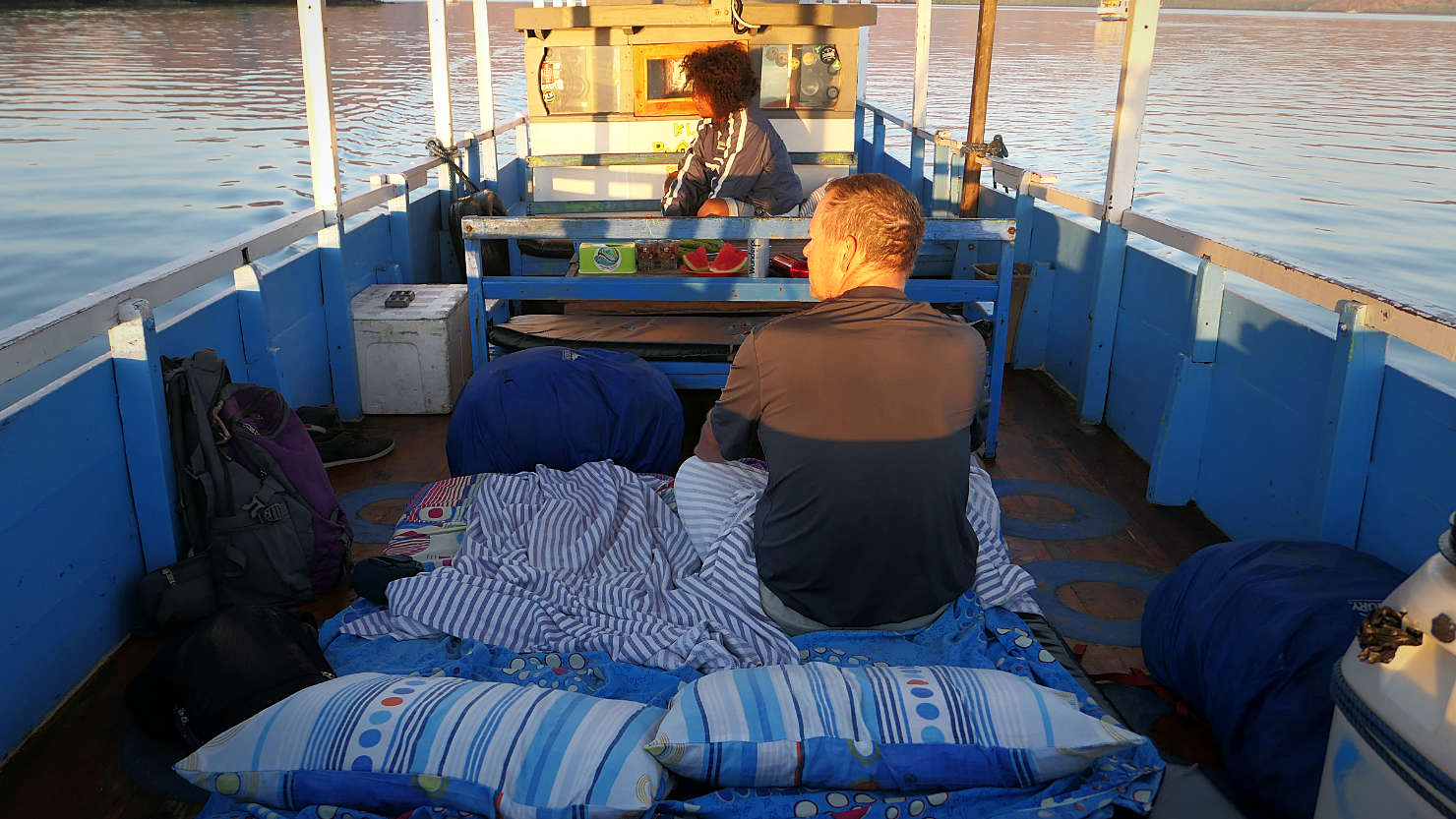
Another view of our "stateroom". Komodo Natl Park (#2), Indonesia (Flores).

Komodo Island sunset. Komodo Natl Park (#2), Indonesia (Flores).
Komodo Nat’l Park #2 (Flores)
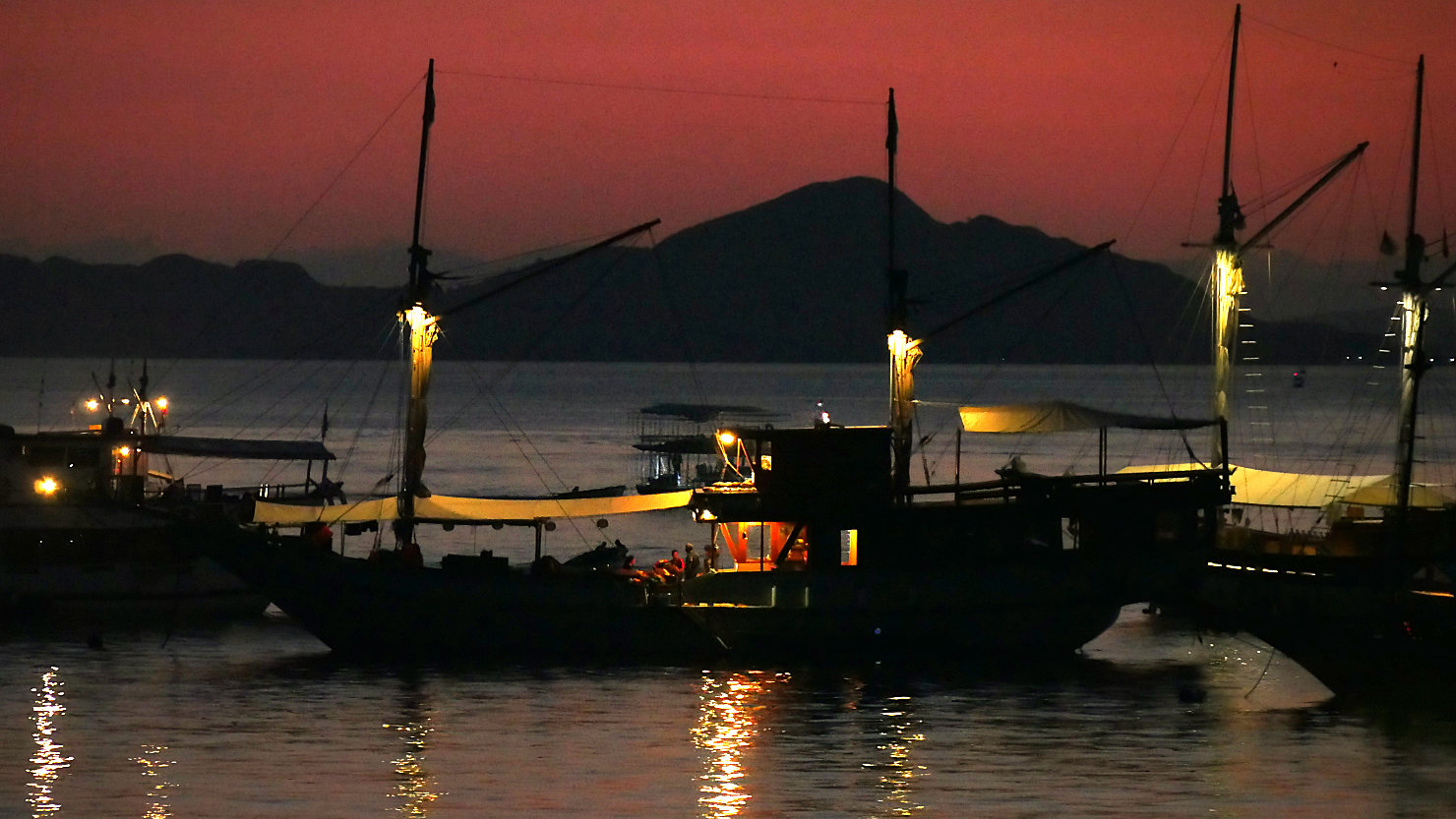
Labuan Bajo, Indonesia (Flores)
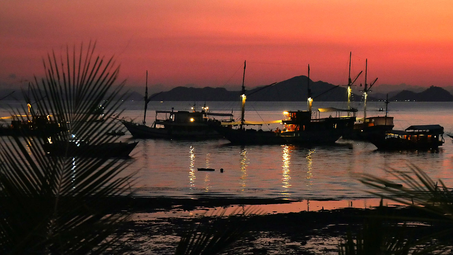
Labuan Bajo harbor sunset. Labuan Bajo, Indonesia (Flores).

Labuan Bajo harbor sunset. Labuan Bajo, Indonesia (Flores).

Panorama of Labuan Bajo harbor. Labuan Bajo, Indonesia (Flores).

Man sitting on a large piece of foam rowing it from shore to a boat moored up in the harbor. Labuan Bajo, Indonesia (Flores).

Small outrigger boat. Labuan Bajo, Indonesia (Flores).

Slow ferry boat from Sumbawa to Flores. Labuan Bajo, Indonesia (Flores).

Local tourist boats in the Labuan Bajo harbor. Labuan Bajo, Indonesia (Flores).

Local tourist boats in the Labuan Bajo harbor. Labuan Bajo, Indonesia (Flores).
Labuan Bajo (Flores)

Mt Kelimutu, Indonesia (Flores)
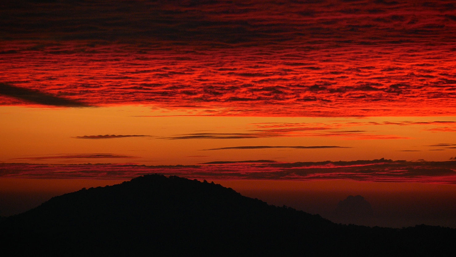
View from Mt Kelimutu before sunrise. Mt Kelimutu, Indonesia (Flores).

Kelimutu Lake before sunrise. Mt Kelimutu, Indonesia (Flores).

View from Mt Kelimutu before sunrise. Mt Kelimutu, Indonesia (Flores).

Kelimutu Lake before sunrise. Mt Kelimutu, Indonesia (Flores).
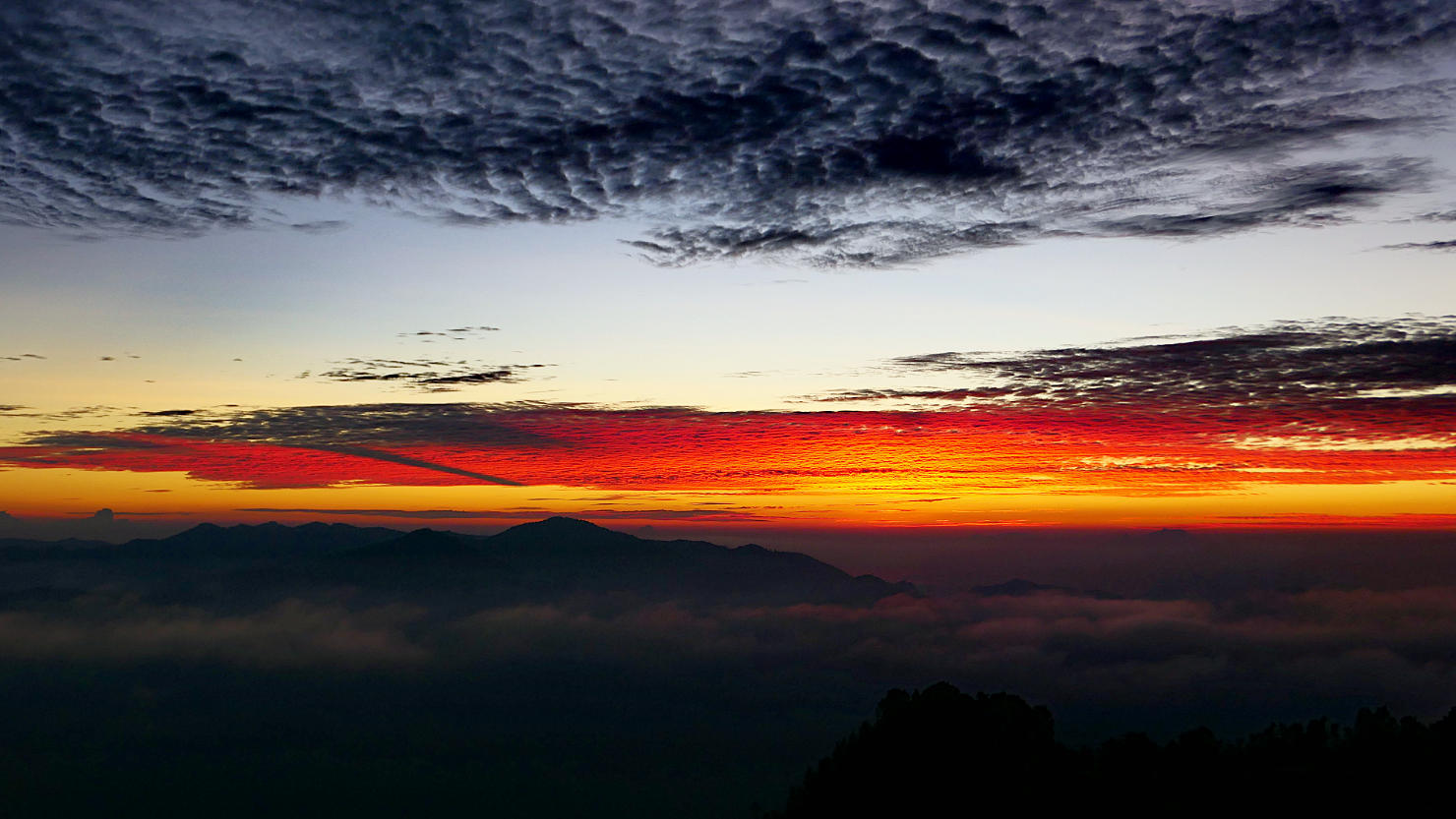
View from Mt Kelimutu before sunrise. Mt Kelimutu, Indonesia (Flores).
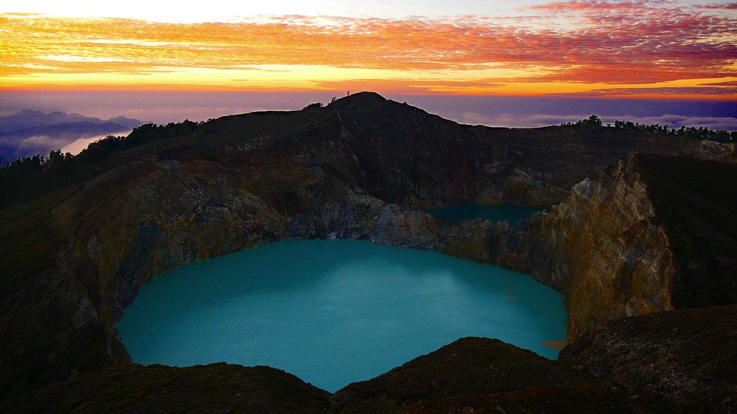
Kelimutu Lake before sunrise. Mt Kelimutu, Indonesia (Flores).
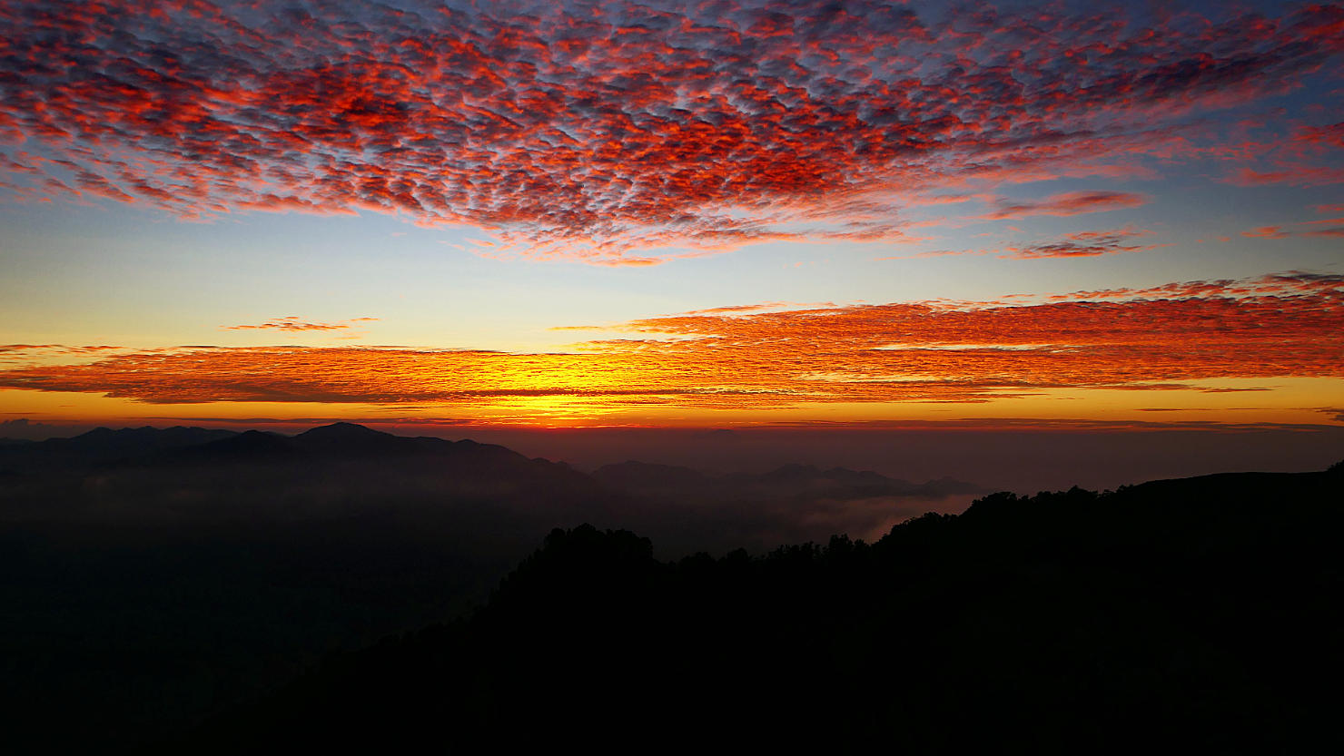
Sunrise view from Mt Kelimutu. Mt Kelimutu, Indonesia (Flores).
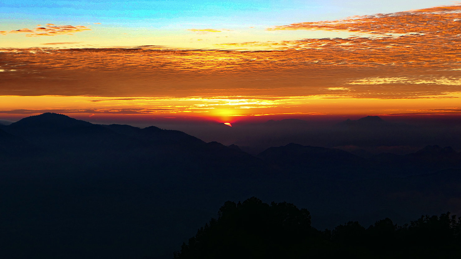
Sunrise view from Mt Kelimutu. Mt Kelimutu, Indonesia (Flores).
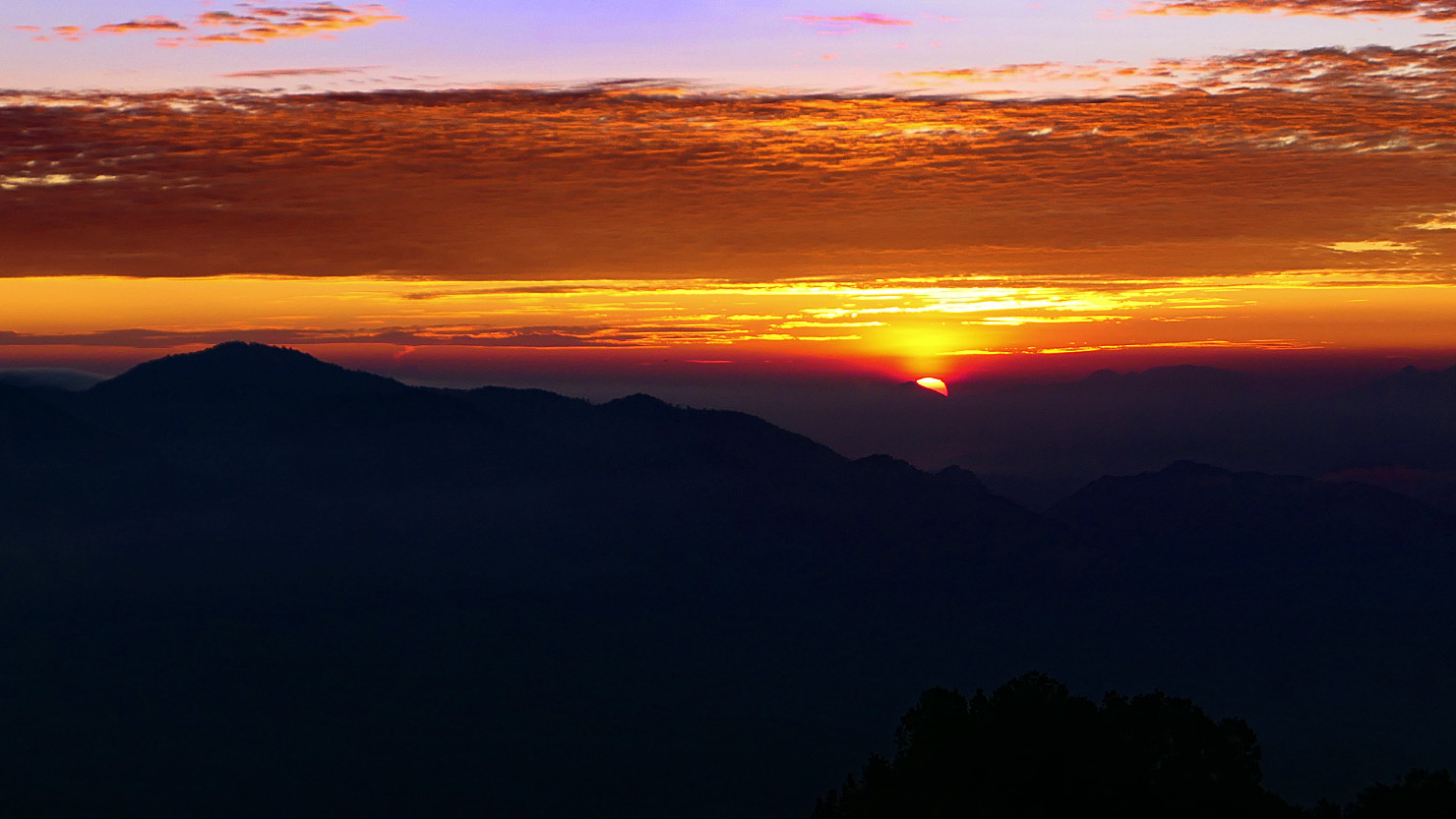
Sunrise view from Mt Kelimutu. Mt Kelimutu, Indonesia (Flores).
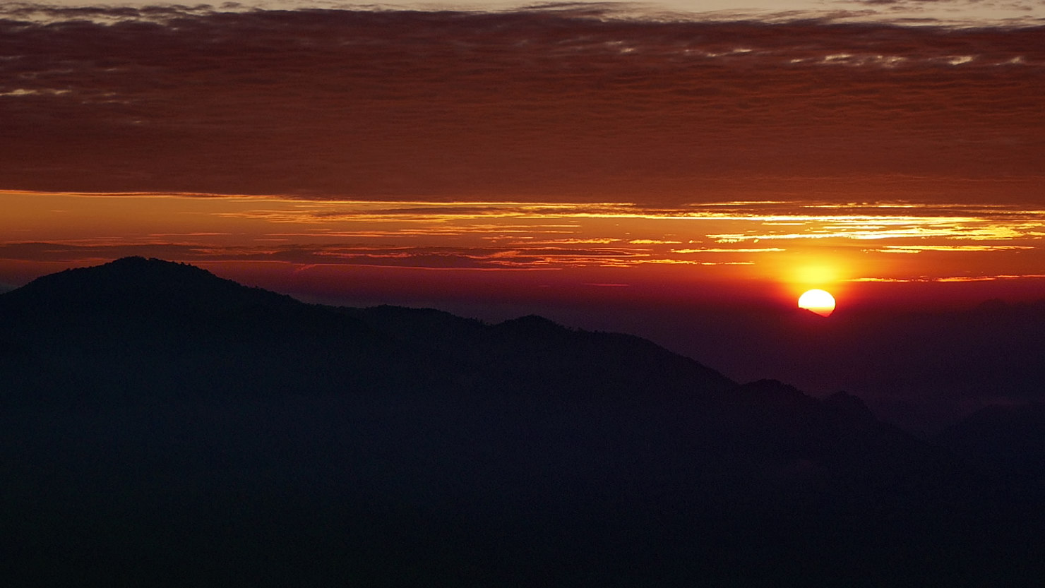
Closer sunrise view from Mt Kelimutu. Mt Kelimutu, Indonesia (Flores).
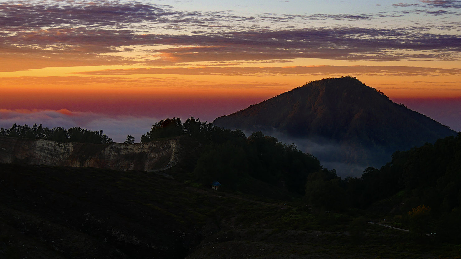
Sunrise volcano view looking North from Mt Kelimutu. Mt Kelimutu, Indonesia (Flores).
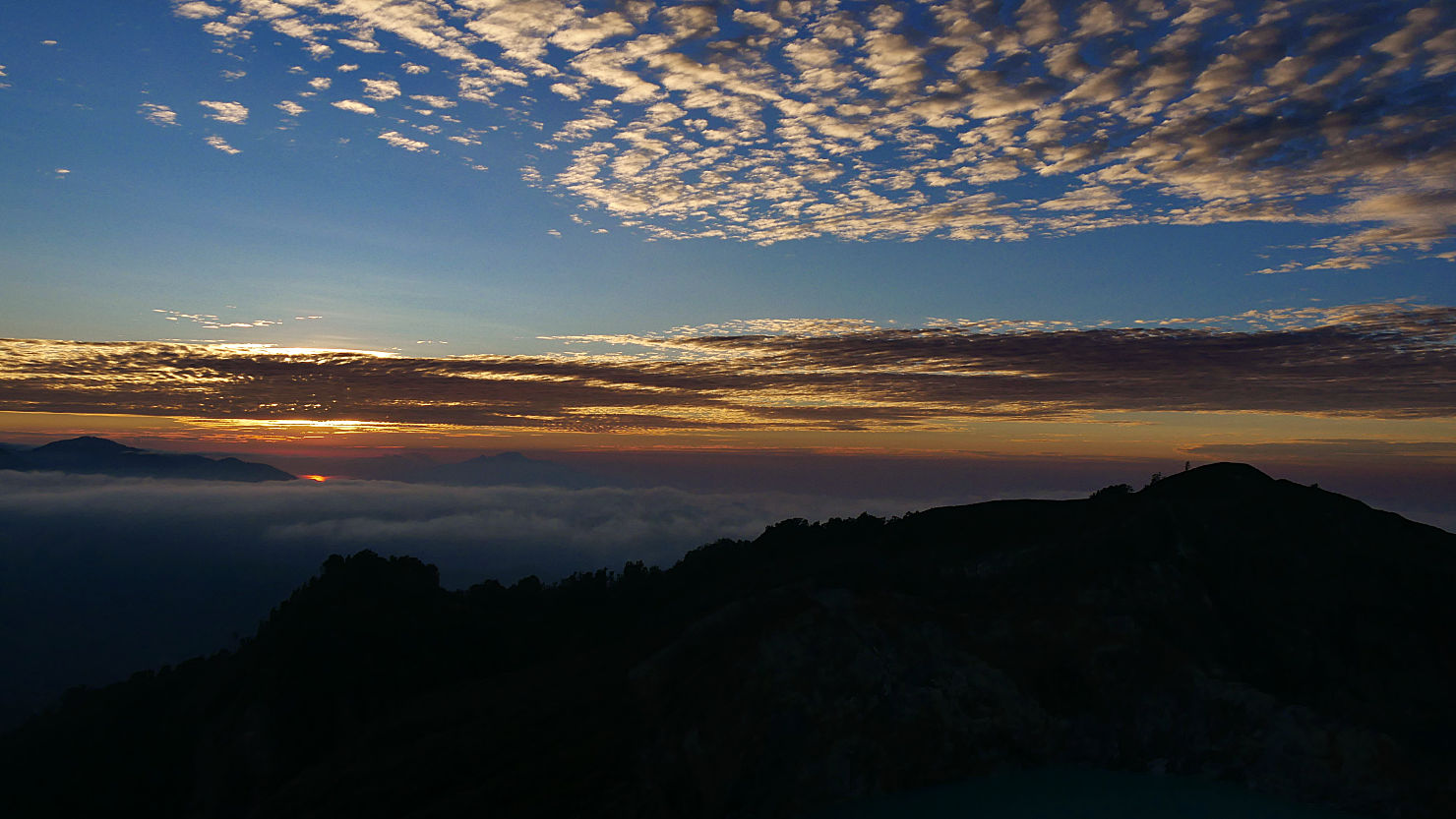
Sunrise view from Mt Kelimutu. Mt Kelimutu, Indonesia (Flores).
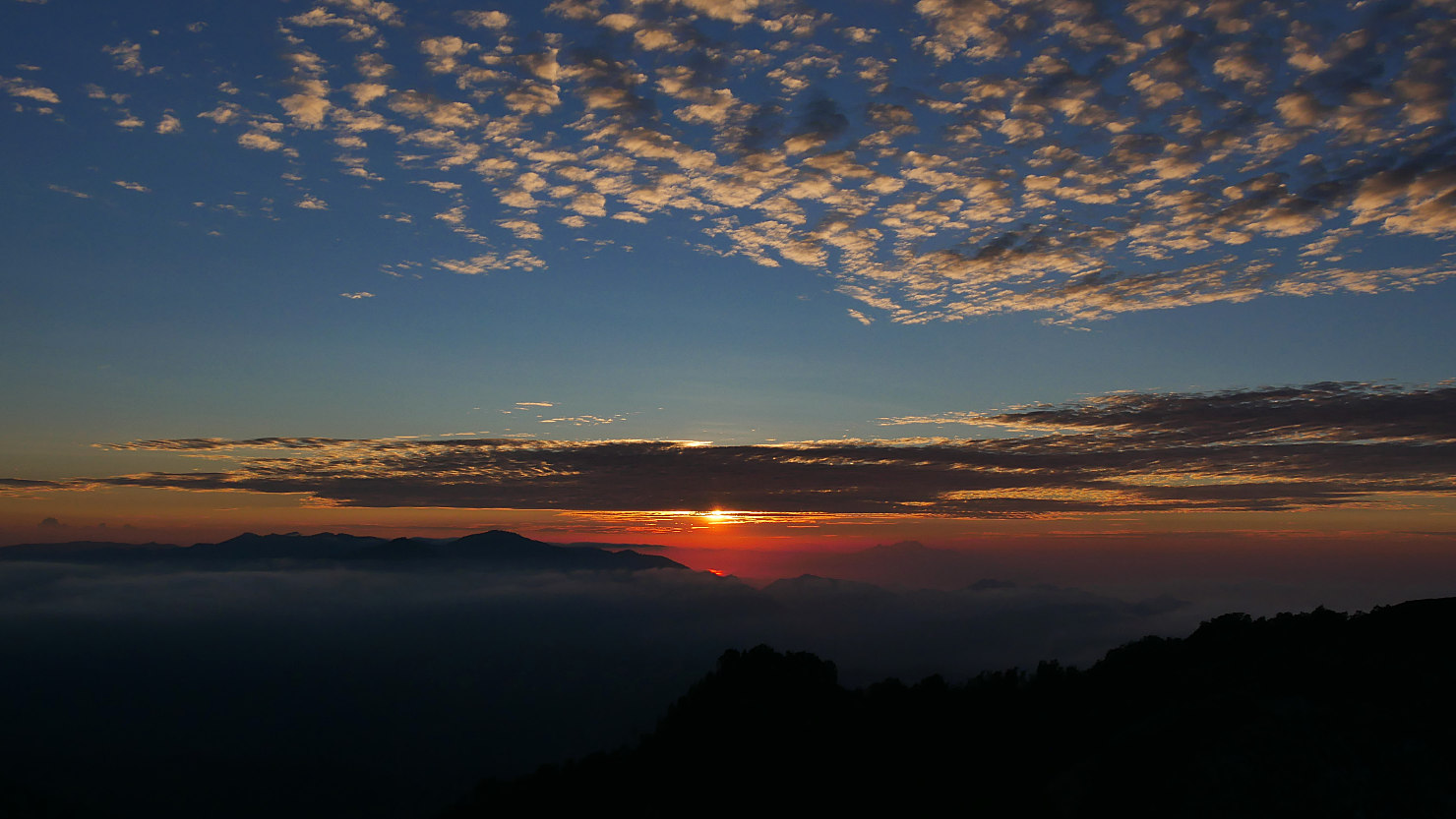
Sunrise view from Mt Kelimutu. Mt Kelimutu, Indonesia (Flores).
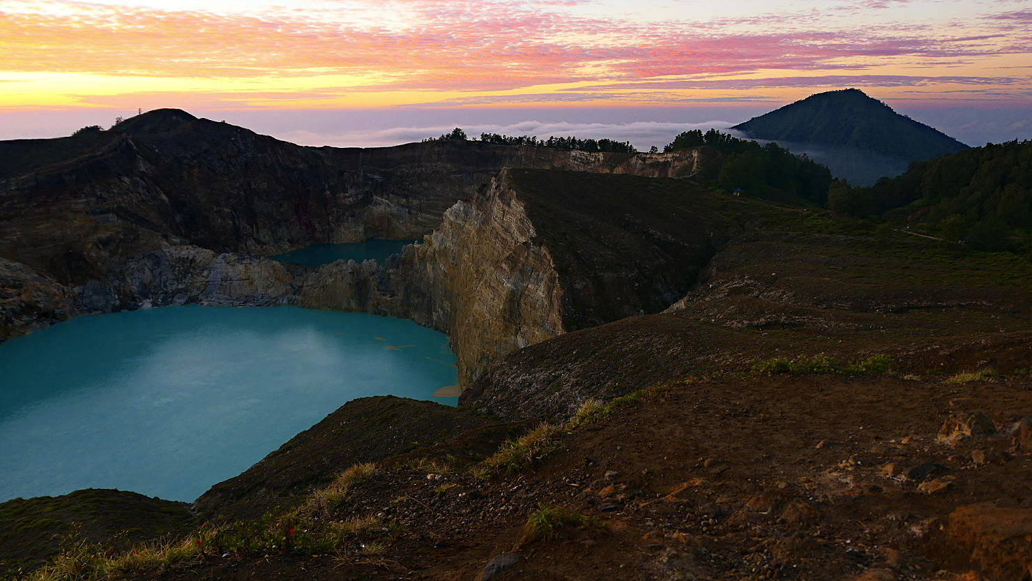
Kelimutu Lake with volcano in the distance at sunrise. Mt Kelimutu, Indonesia (Flores).
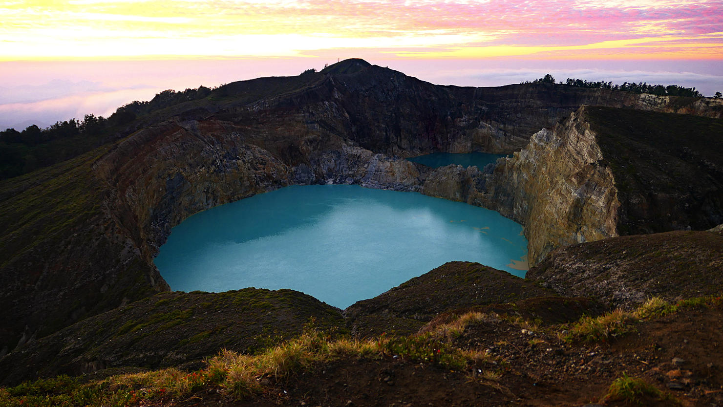
Kelimutu Lake at sunrise. Mt Kelimutu, Indonesia (Flores).

Kelimutu Lake (elderly souls) covered in fog. Mt Kelimutu, Indonesia (Flores).

Kelimutu Lake (elderly souls) covered in fog. Mt Kelimutu, Indonesia (Flores).
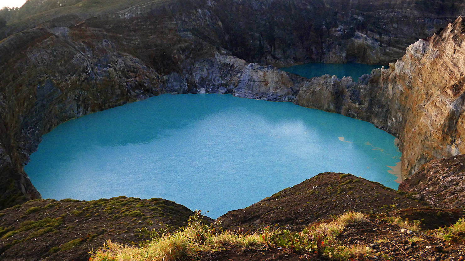
Kelimutu Lake close-up. Young souls lake in front (light color) and naught souls lake in back (darker color). Mt Kelimutu, Indonesia (Flores).

Kelimutu Lake close-up. Young souls lake in front (light color) and naught souls lake in back (darker color). Mt Kelimutu, Indonesia (Flores).

Kelimutu Lake close-up. Young souls lake to the left (light color) and naught souls lake to the right (darker color). Mt Kelimutu, Indonesia (Flores).
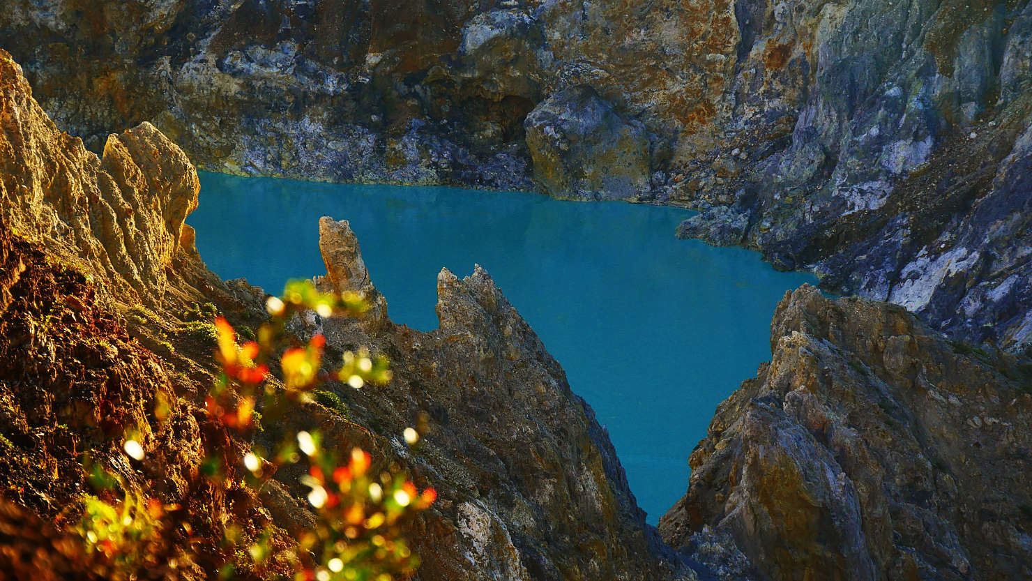
Kelimutu Lake close-up. Young souls lake (light color). Mt Kelimutu, Indonesia (Flores).
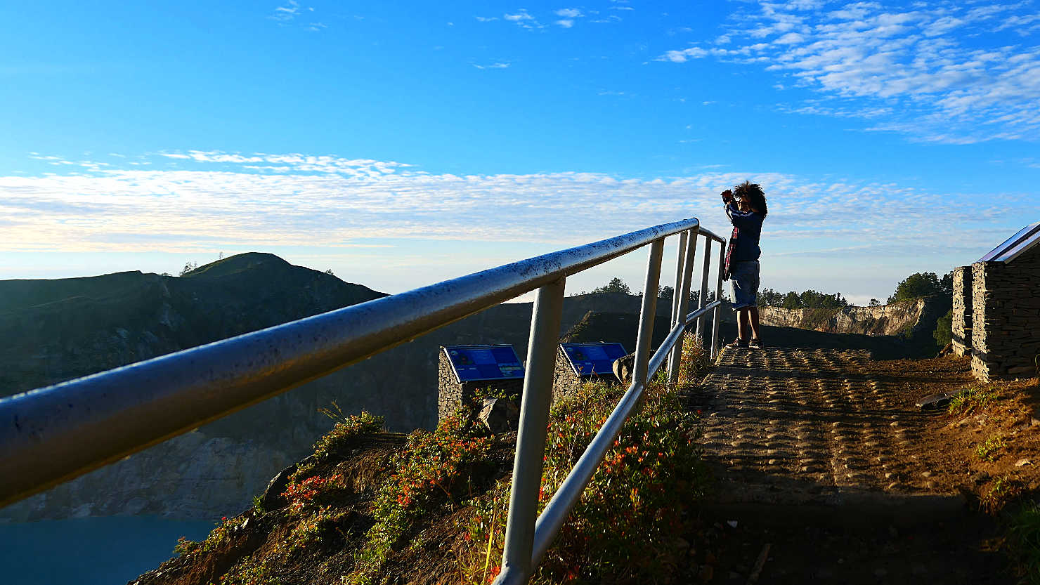
Our guide, Jimmy, looking out at the lakes. Mt Kelimutu, Indonesia (Flores).

Mt Kelimutu stairway leading to the summit. Mt Kelimutu, Indonesia (Flores).
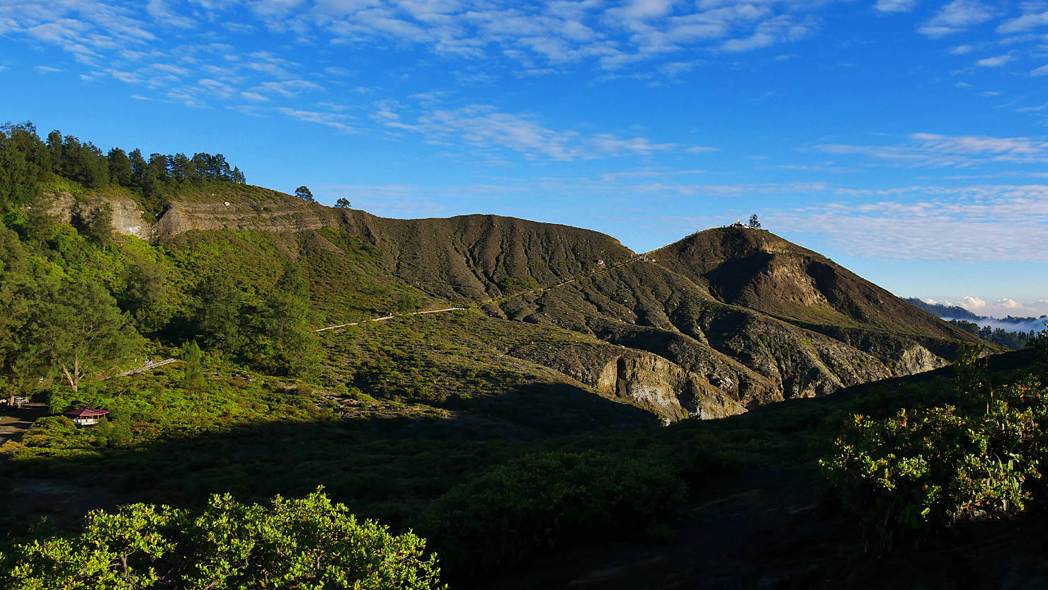
Mt. Kelimutu trail to the summit. Mt Kelimutu, Indonesia (Flores).
Mt Kelimutu (Flores)
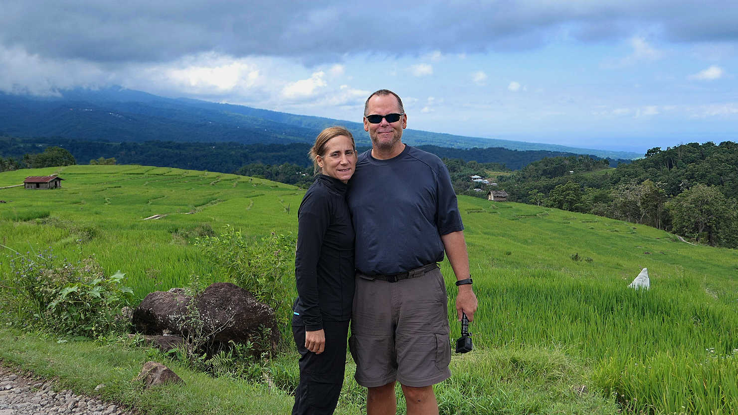
Road Trip, Indonesia (Flores)
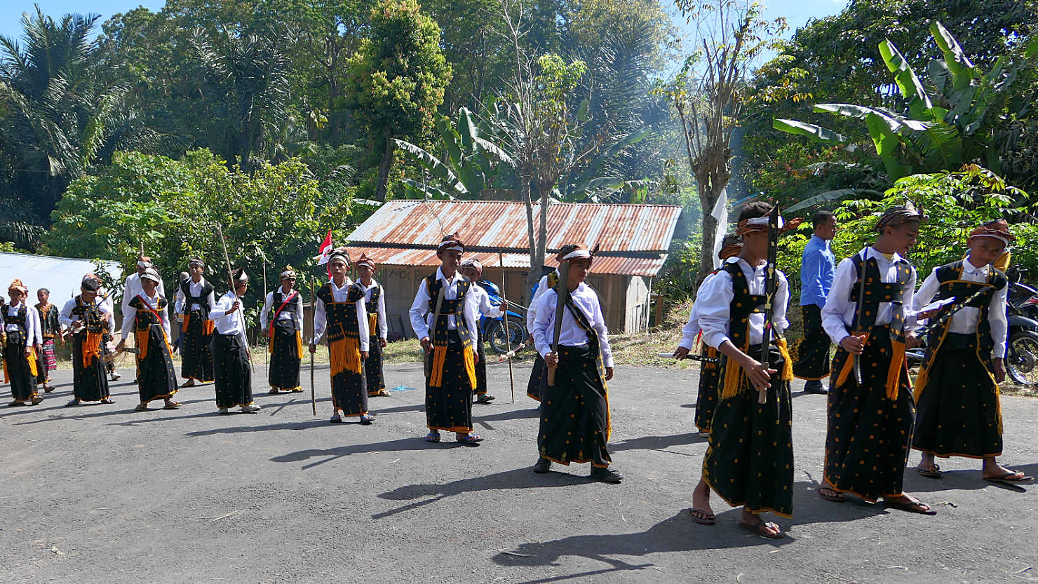
Local kids practicing their traditional Manggarai dance in prep for their Indonesian Independence Day celebration on Aug 17th. Road Trip, Indonesia (Flores).

Local kids wanted a photo with us. They were practicing their traditional Manggarai dance in prep for their Indonesian Independence Day celebration on Aug 17th. Road Trip, Indonesia (Flores).

Rusten Beach seafood restaurant. Road Trip, Indonesia (Flores).

Boat dropping off freshly caught fish to our oceanside lunch spot. Road Trip, Indonesia (Flores).
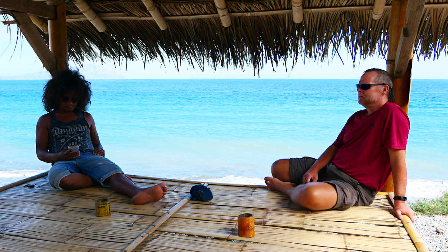
Jimmy, our guide, and Rick waiting for barbecued fish lunch at Rusten Beach. Road Trip, Indonesia (Flores).
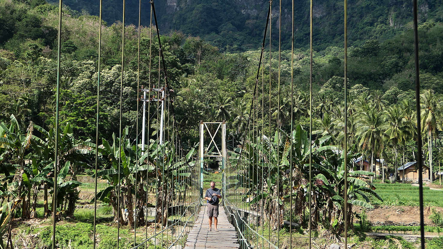
Rick walking across a bamboo bridge. Road Trip, Indonesia (Flores).
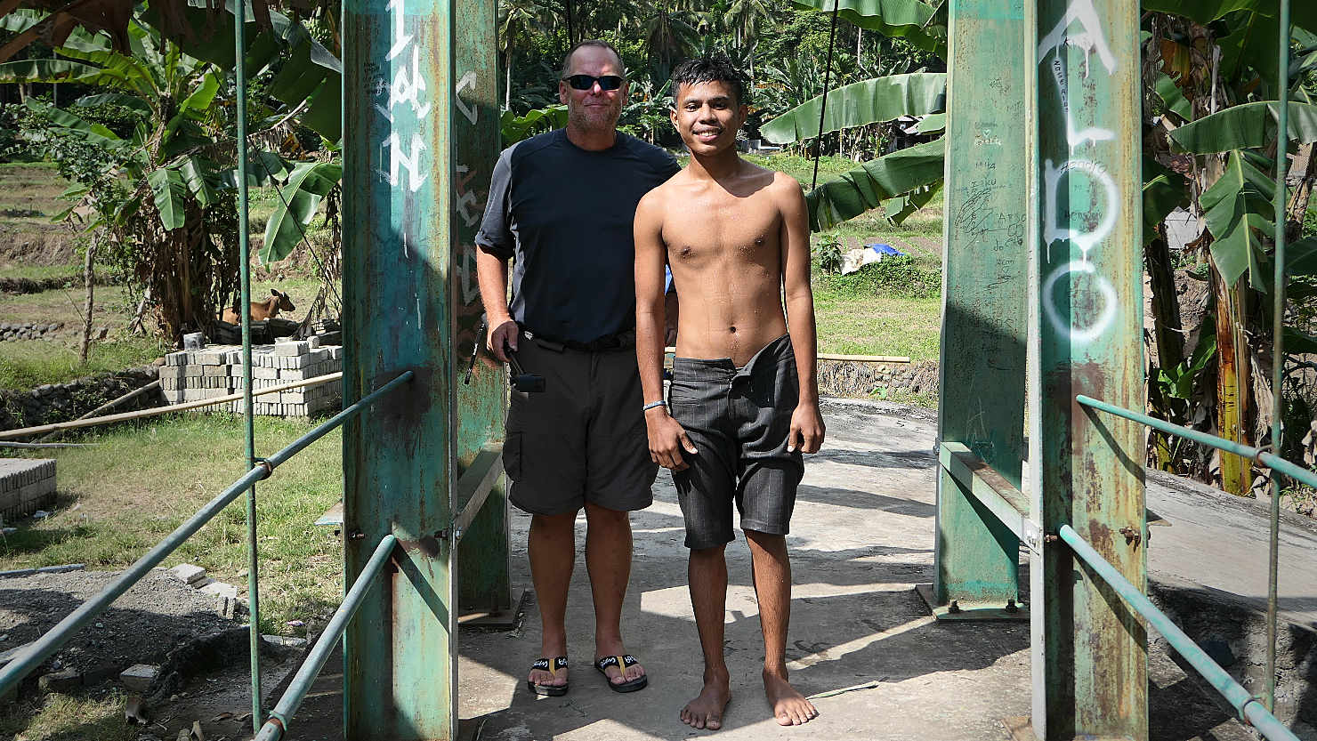
Rick with a local kid who wanted his photo taken with a westerner. Road Trip, Indonesia (Flores).
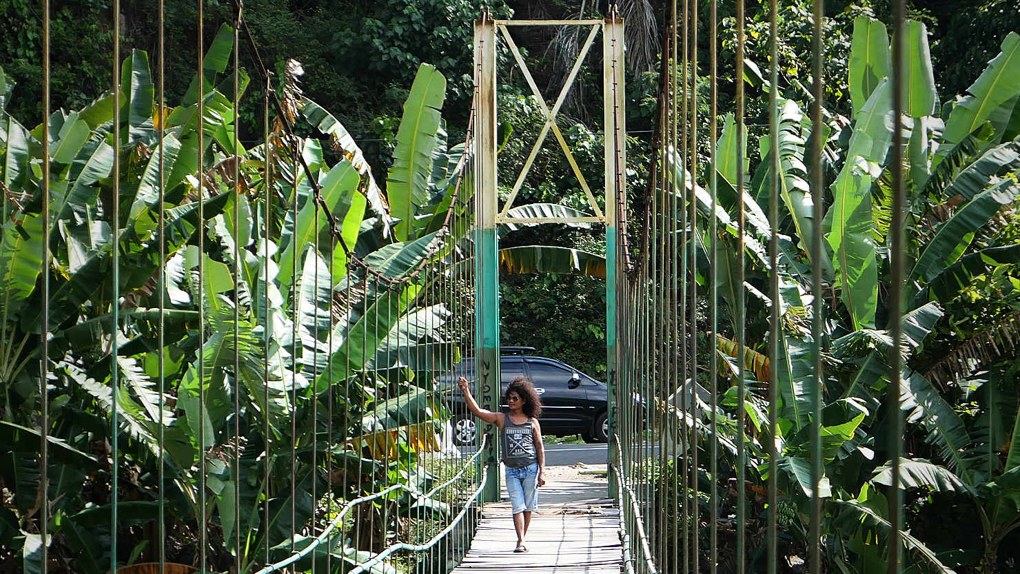
Our guide, Jimmy, waiting for us on a bamboo bridge. Road Trip, Indonesia (Flores).
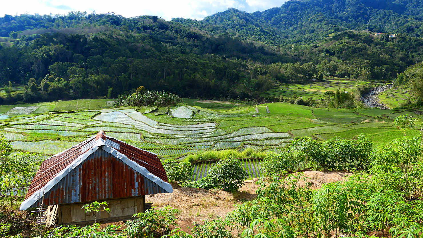
Rice fields near Moni. Road Trip, Indonesia (Flores).
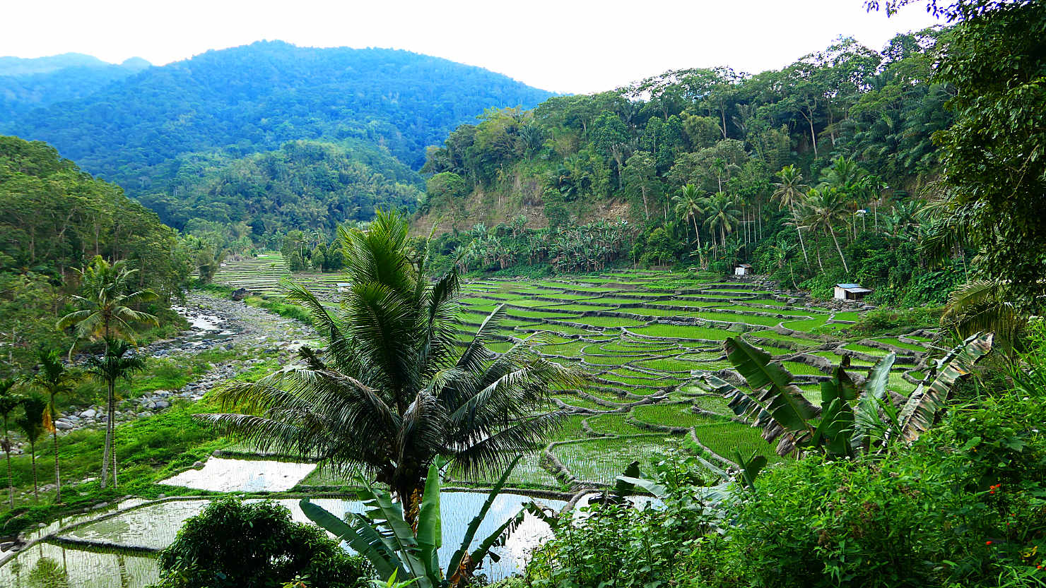
Rice fields near Moni. Road Trip, Indonesia (Flores).
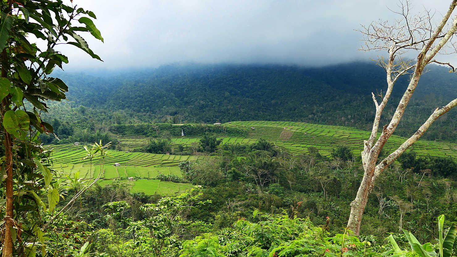
Terraced rice fields. Road Trip, Indonesia (Flores).
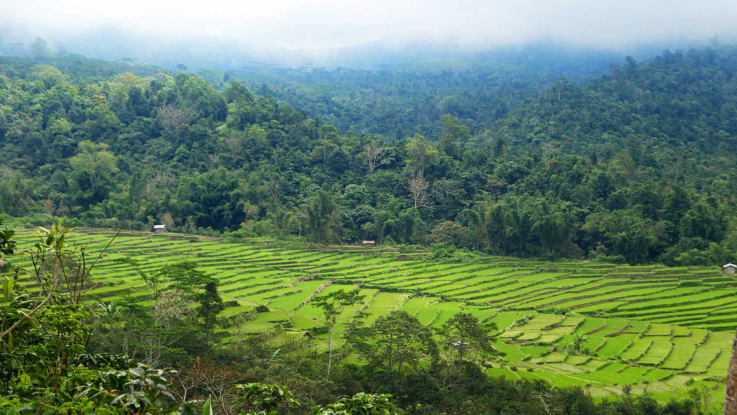
Terraced rice fields. Road Trip, Indonesia (Flores).

View of Big Mama Volcano in the distance. Road Trip, Indonesia (Flores).

Rick and Jimmy, our guide and driver for 6 days. Road Trip, Indonesia (Flores).

Arak distillery. Arak is a strong liquor made from a type of palm tree. Road Trip, Indonesia (Flores).
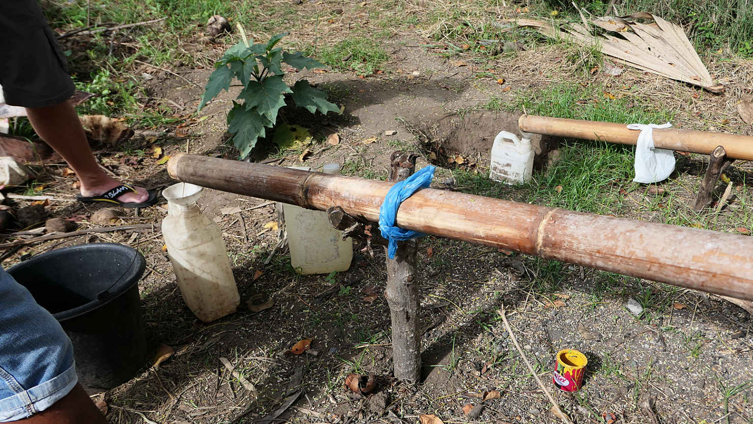
Arak distillery bamboo drip line. Road Trip, Indonesia (Flores).
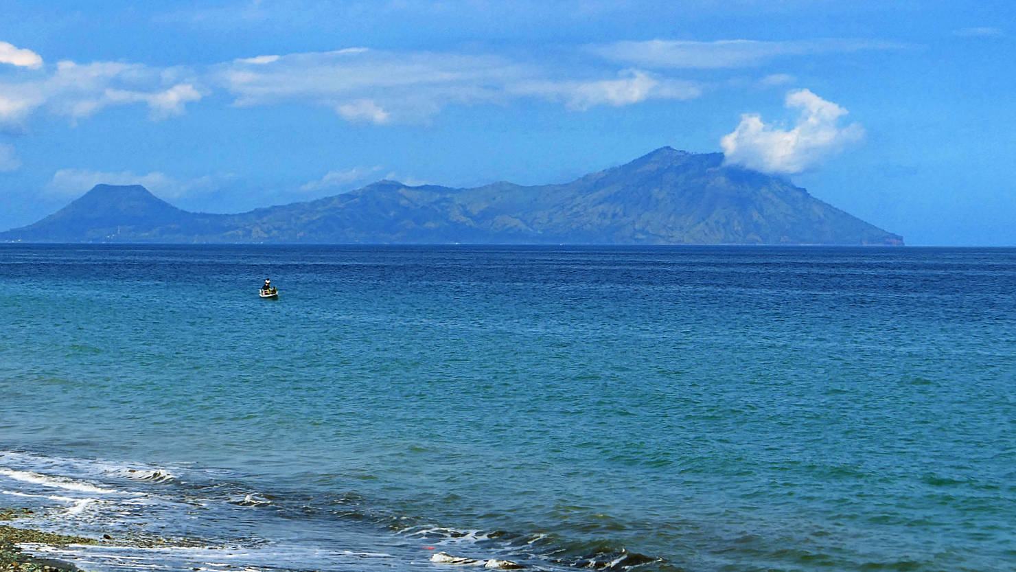
Ende island volcano seen from our lunch spot at Rusten Beach. Road Trip, Indonesia (Flores).
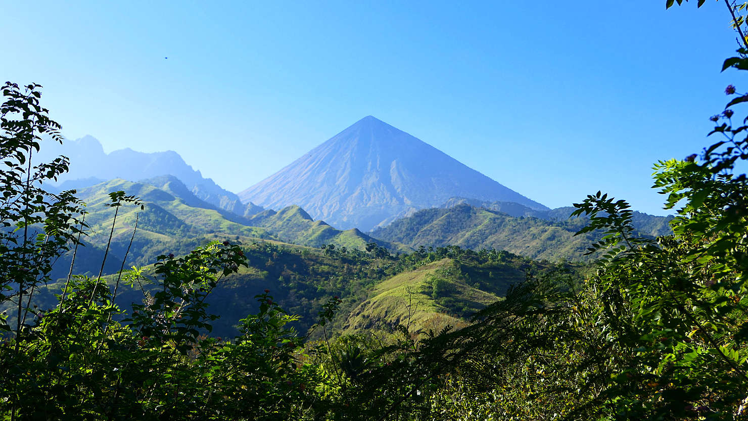
Big Mama Volcano view from the road. Road Trip, Indonesia (Flores).
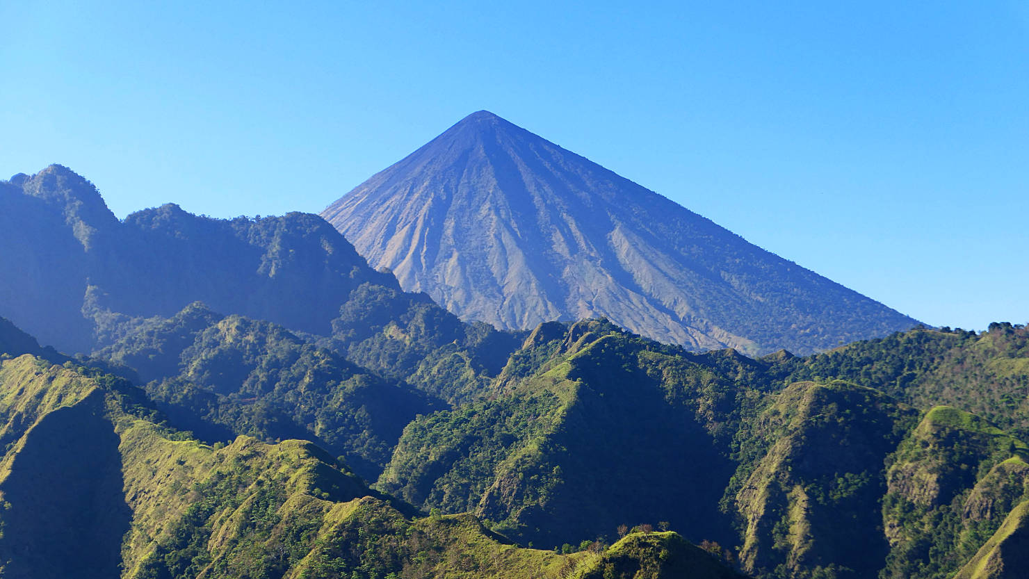
Close view of Big Mama Volcano. Road Trip, Indonesia (Flores).
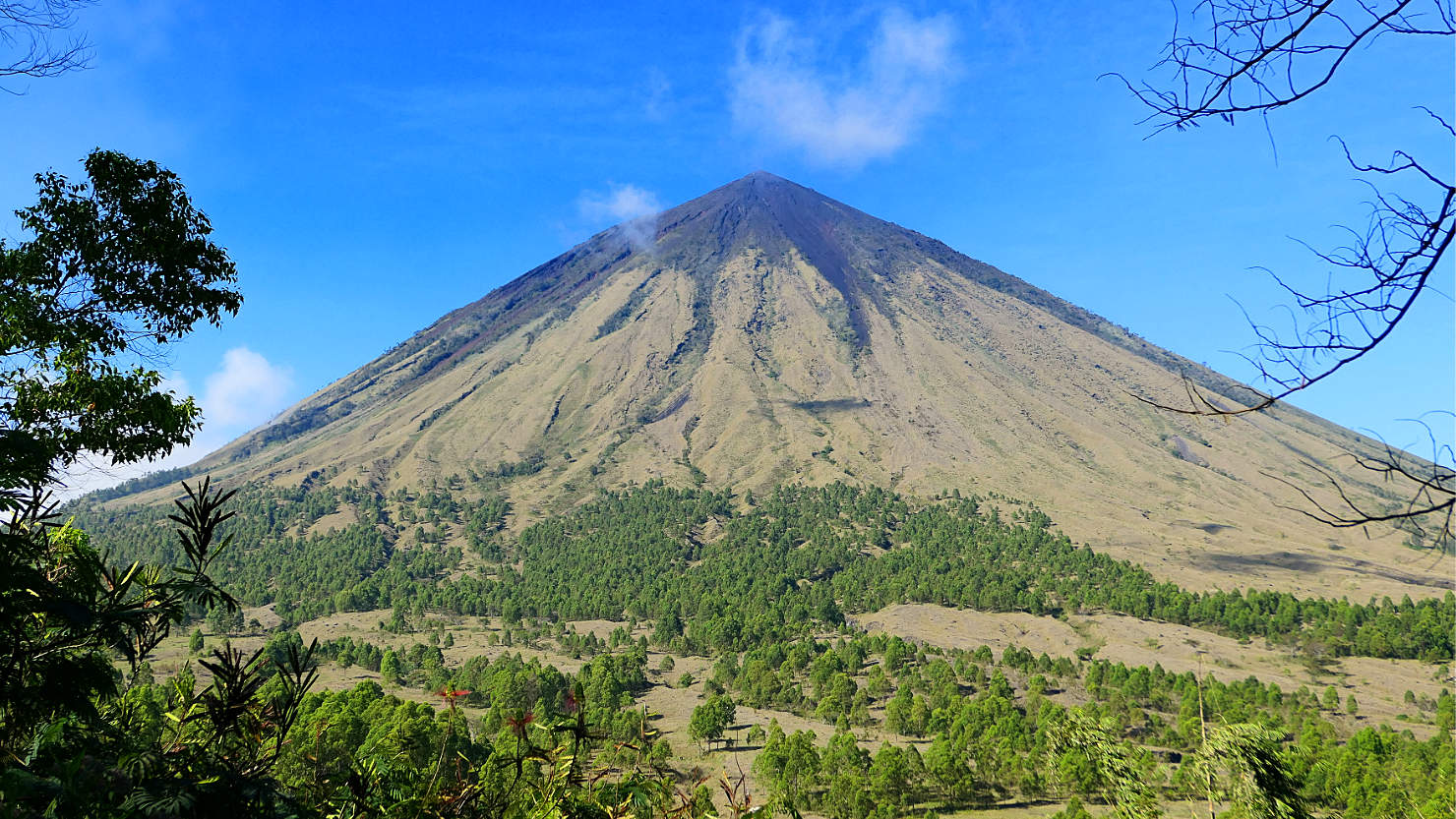
Big Mama Volcano looking from the Bajawa side. Road Trip, Indonesia (Flores).
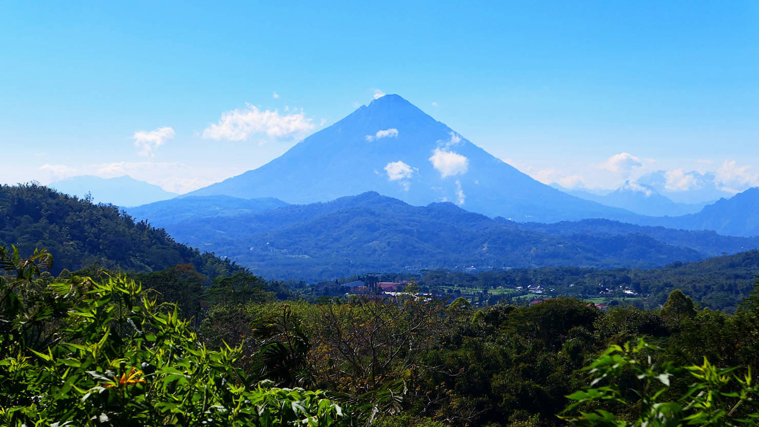
Big Papa Volcano. Road Trip, Indonesia (Flores).

Close view of Big Papa Volcano. Road Trip, Indonesia (Flores).

Alisa on a bamboo bridge crossing a river. Road Trip, Indonesia (Flores).
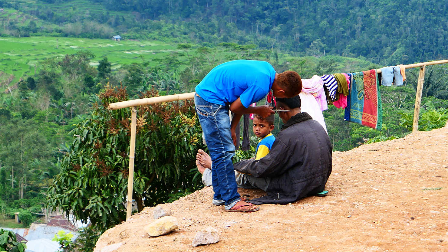
Kid giving a roadside haircut. Road Trip, Indonesia (Flores).
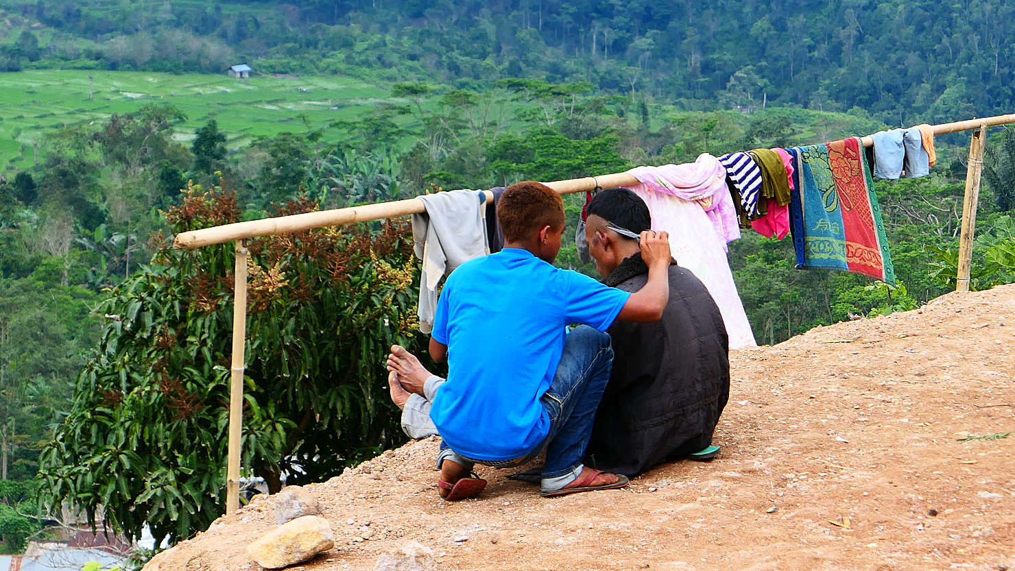
Kid giving a roadside haircut. Road Trip, Indonesia (Flores).
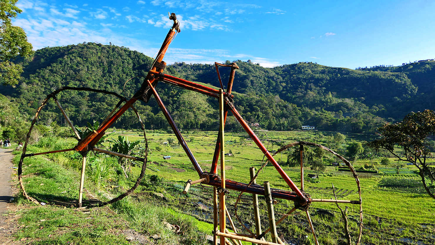
Bamboo bike sculpture looking out of rice fields near Moni. Road Trip, Indonesia (Flores).

Caci Whip Fight Dance. Road Trip, Indonesia (Flores).
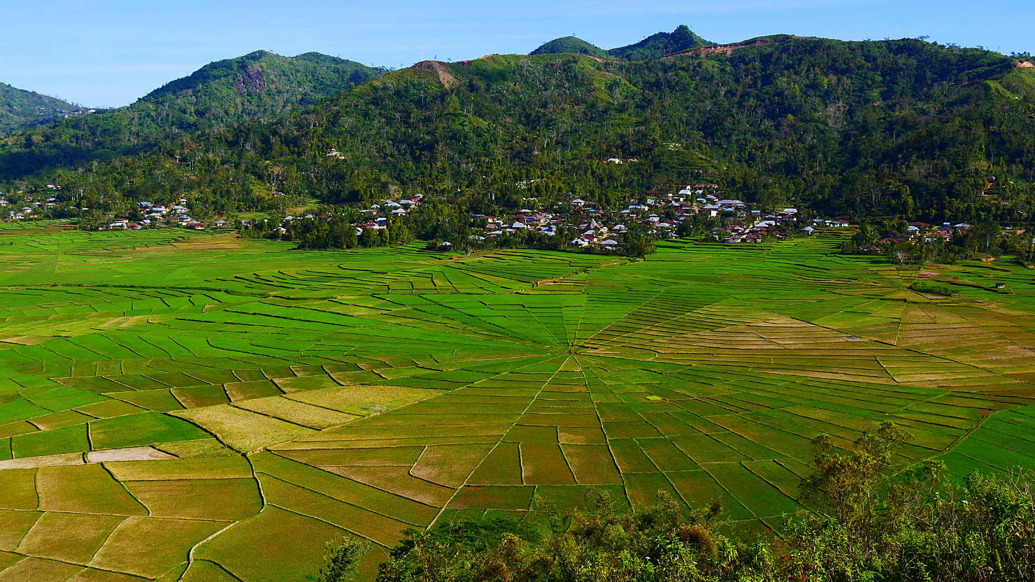
Looking out over a village and the Spiderweb Rice Fields. Road Trip, Indonesia (Flores).
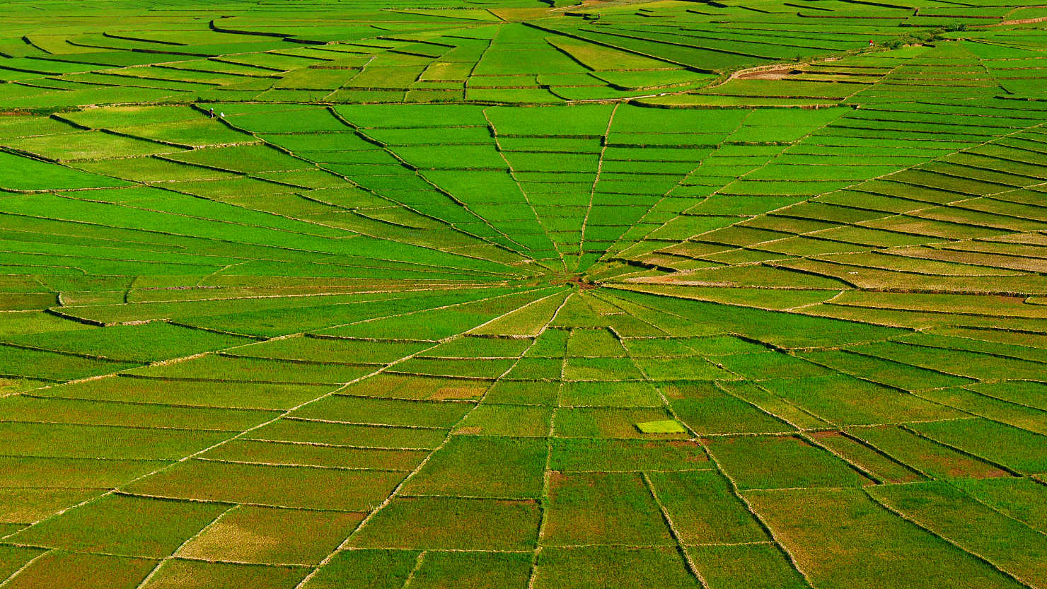
Spiderweb Rice Fields. Road Trip, Indonesia (Flores).
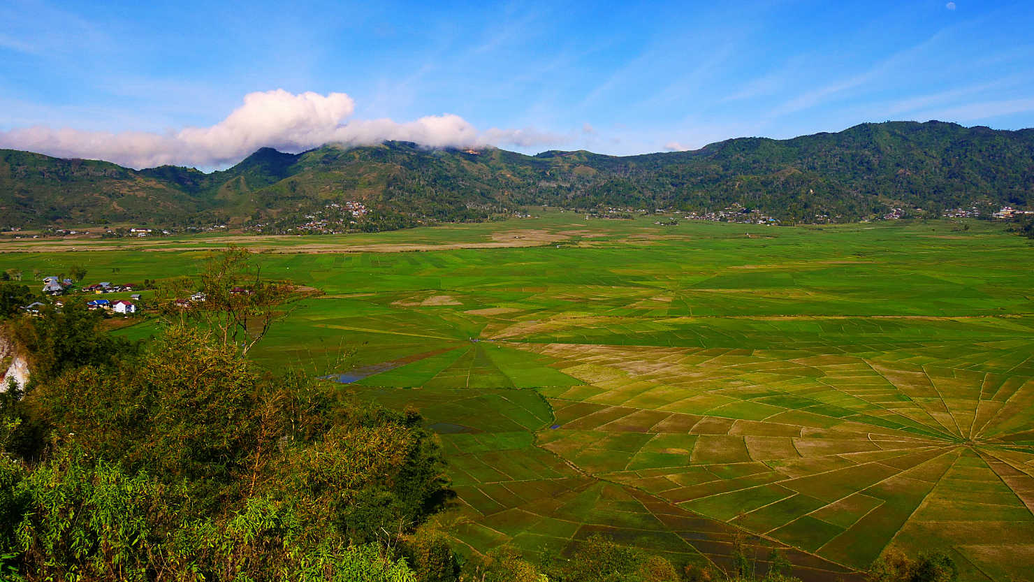
Looking out over the Spiderweb Rice Fields. Road Trip, Indonesia (Flores).
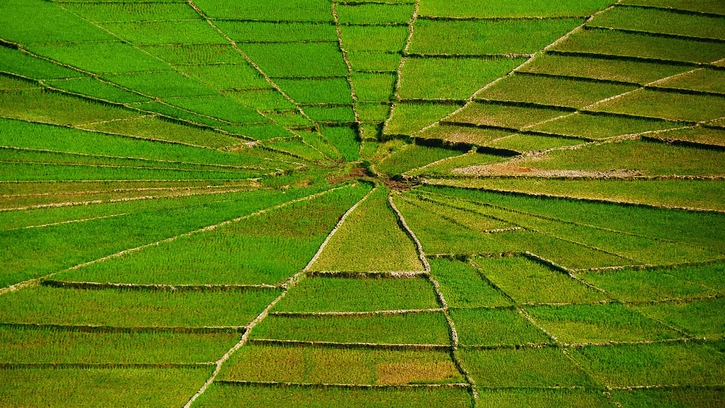
Close-up Spiderweb Rice Fields. Road Trip, Indonesia (Flores).
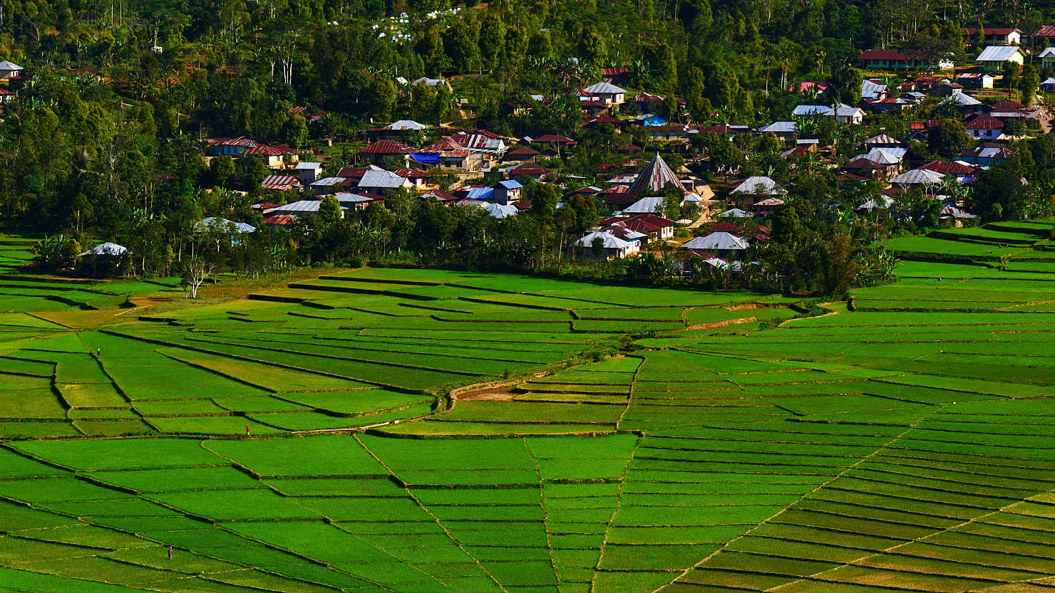
Spiderweb Rice Field Village. Road Trip, Indonesia (Flores).
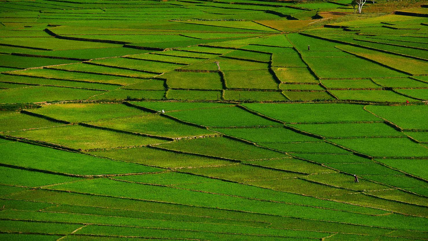
Close-up Spiderweb Rice Fields. Road Trip, Indonesia (Flores).
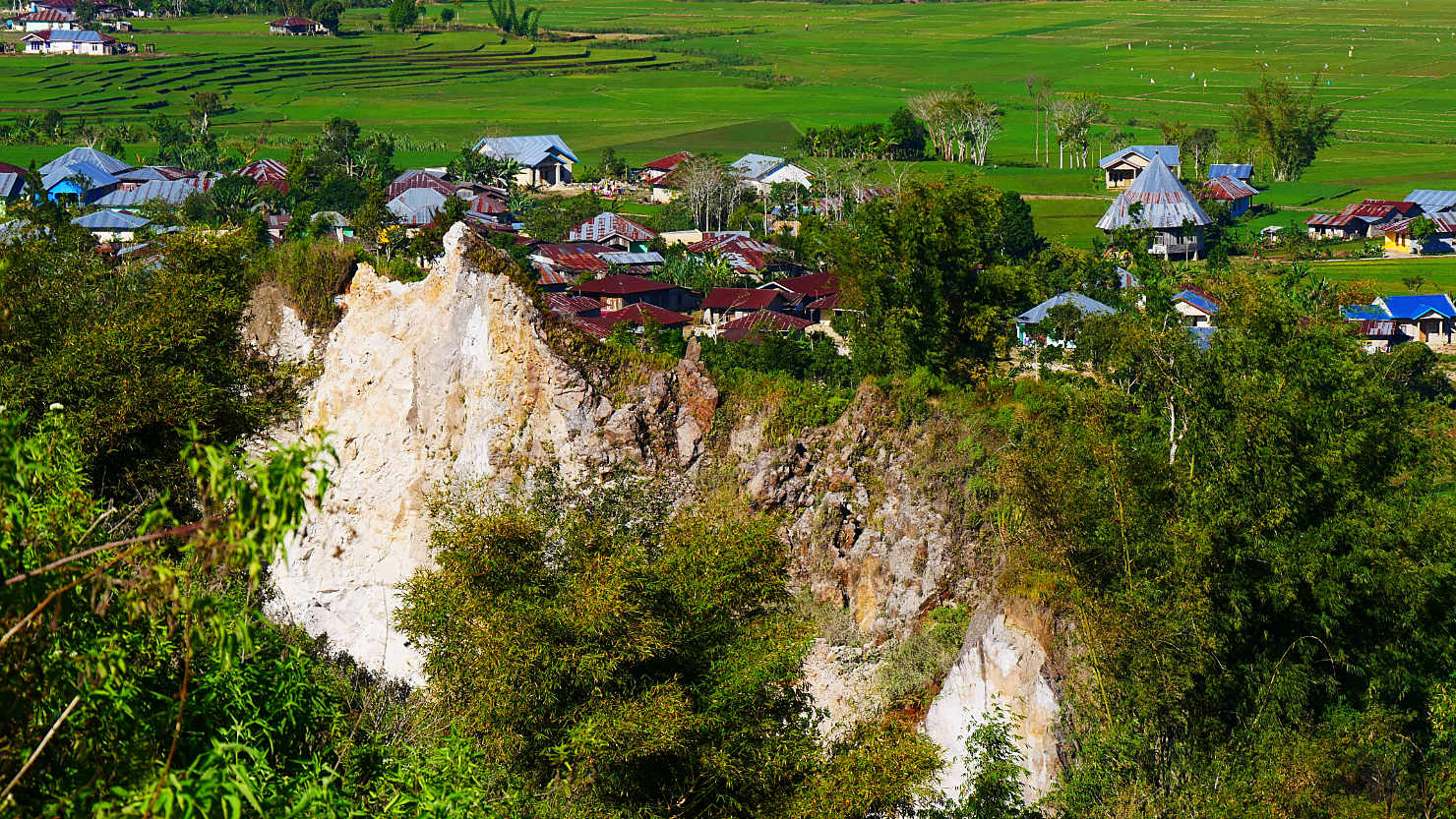
Village sitting at the top of a large limestone karst at the Spiderweb Rice Fields. Road Trip, Indonesia (Flores).
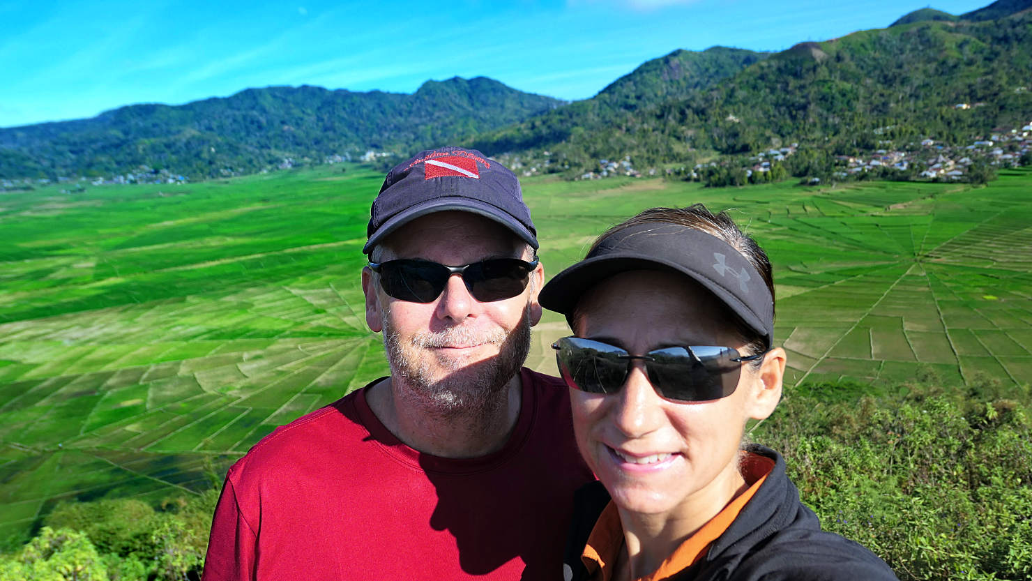
Rick and Alisa with Spiderweb Rice Fields in the background. Road Trip, Indonesia (Flores).
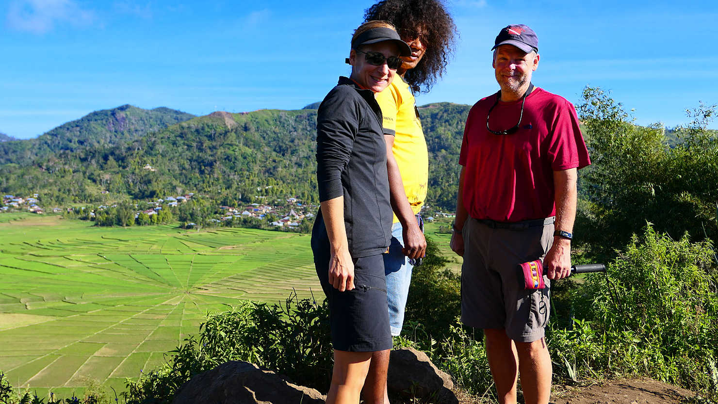
Alisa, Jimmy (our guide and driver), and Rick at the Spiderweb Rice Fields. Road Trip, Indonesia (Flores).
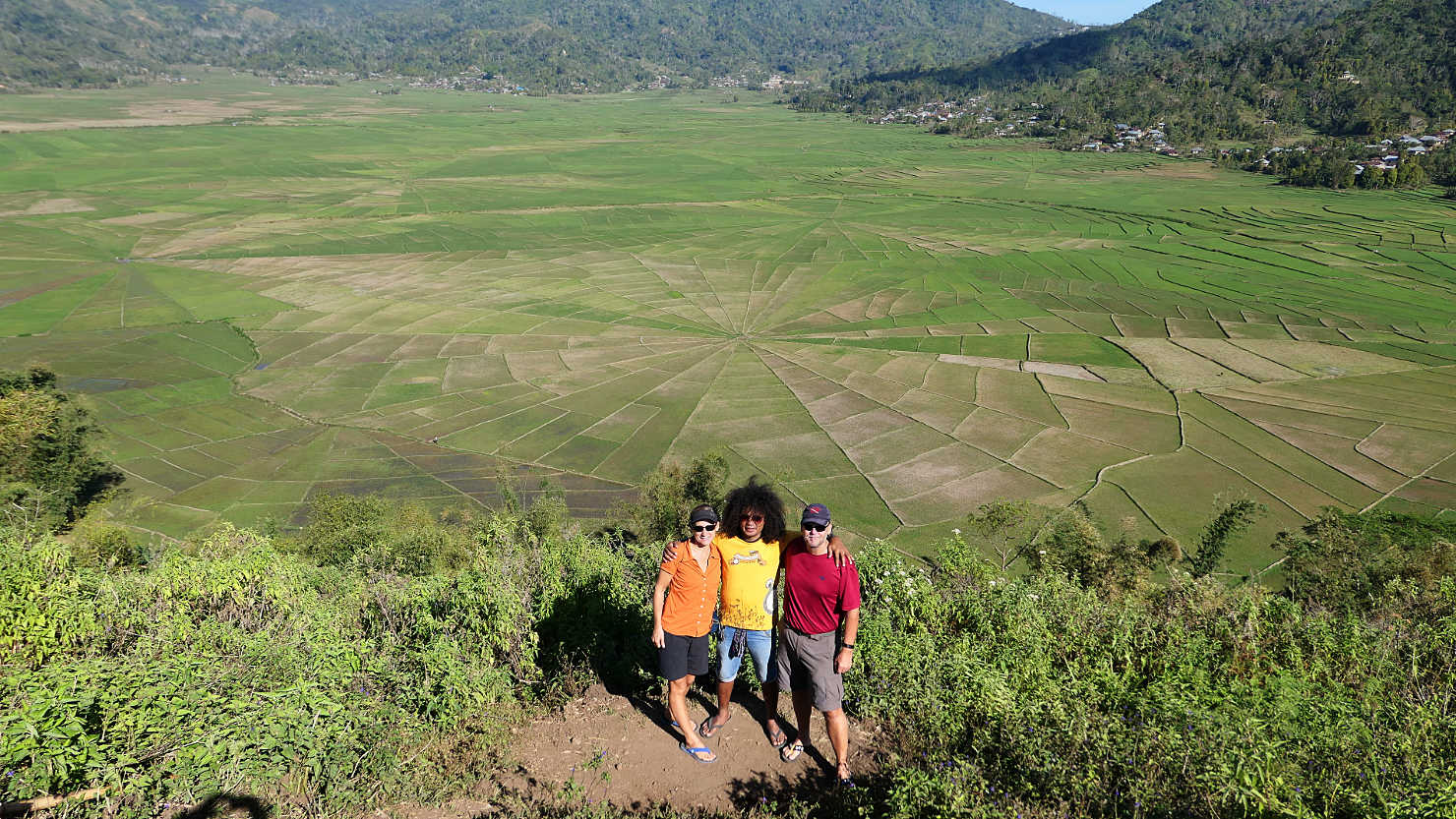
Alisa, Jimmy (our guide and driver), and Rick overlooking the Spiderweb Rice Fields. Road Trip, Indonesia (Flores).
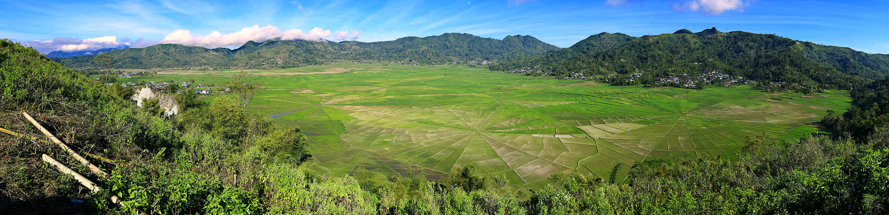
Panorama of the Spiderweb Rice Fields. Road Trip, Indonesia (Flores).
Road Trip (Flores)
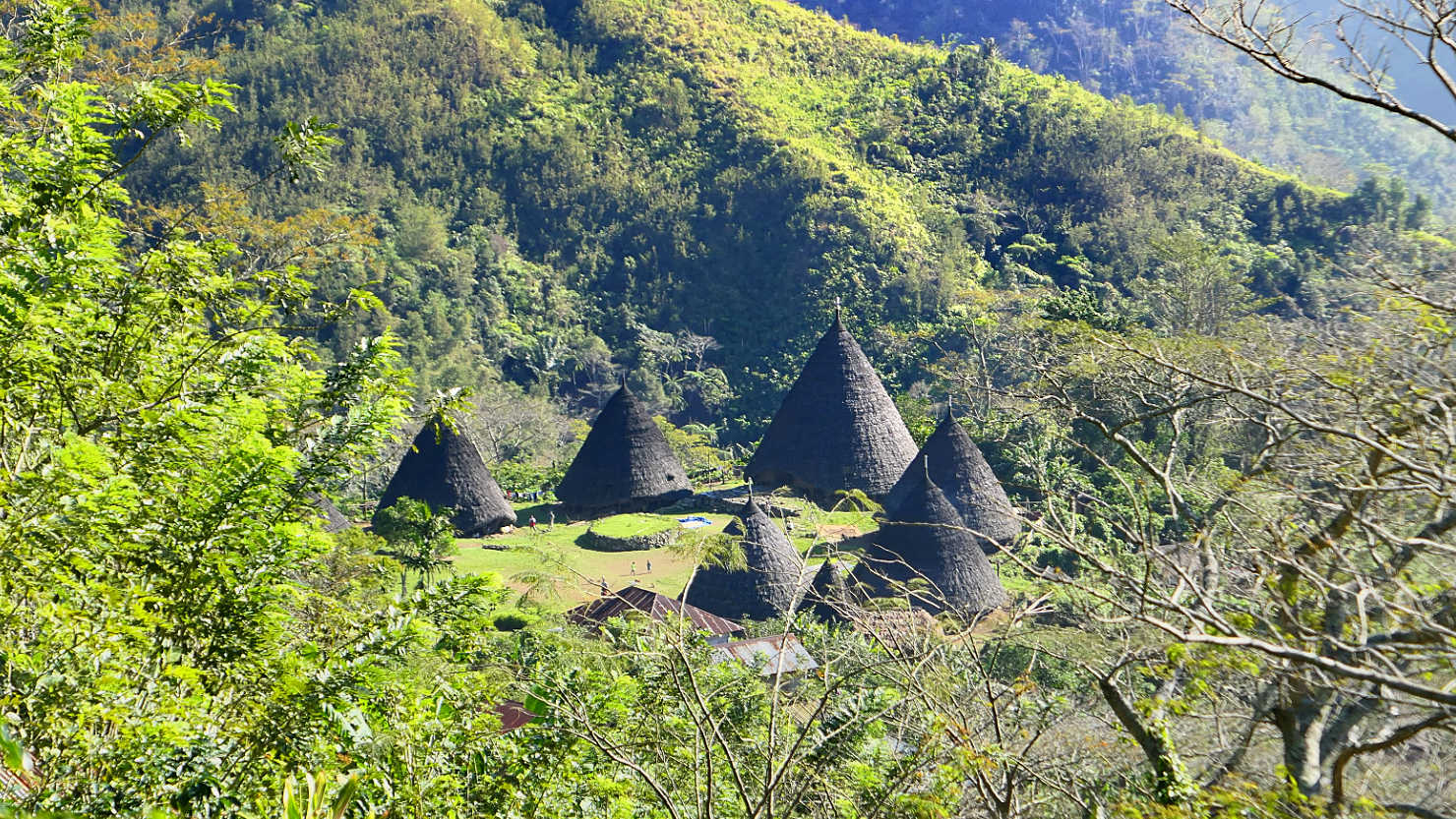
Wae Rebo Village, Indonesia (Flores)
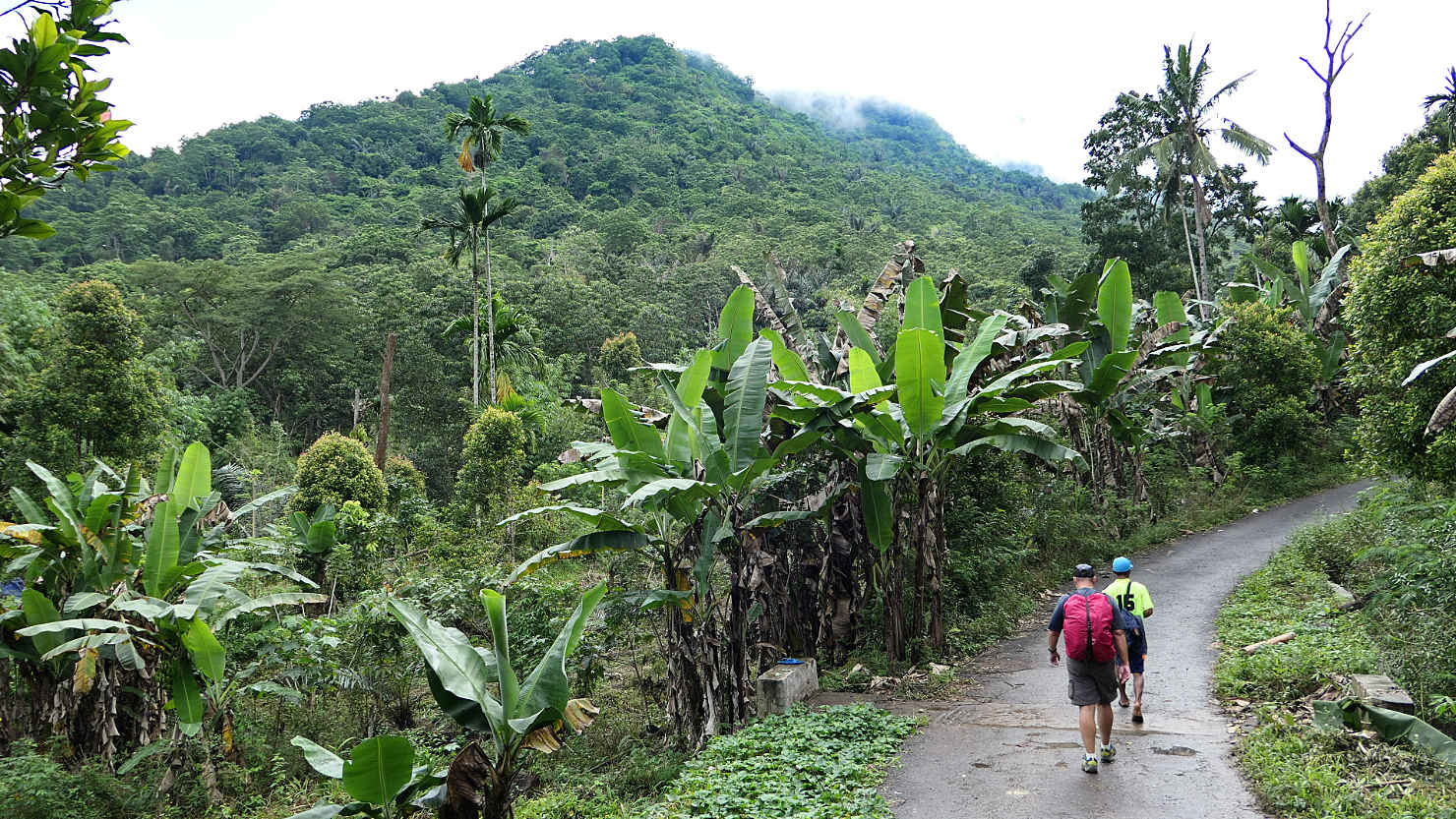
Rick and our guide starting to hike to the village. Only the first kilometer of the trail is paved. Wae Rebo Village, Indonesia (Flores).
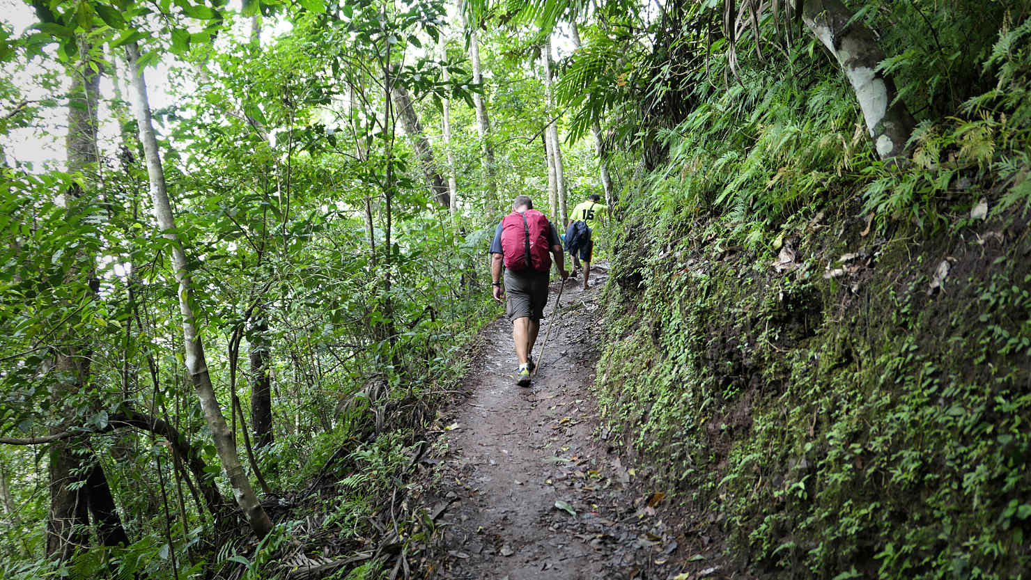
Rick and our guide hiking up the main trail to the village. Wae Rebo Village, Indonesia (Flores).

Rick and Alisa with the Wae Rebo Village Chief after our welcoming ceremony. Wae Rebo Village, Indonesia (Flores).

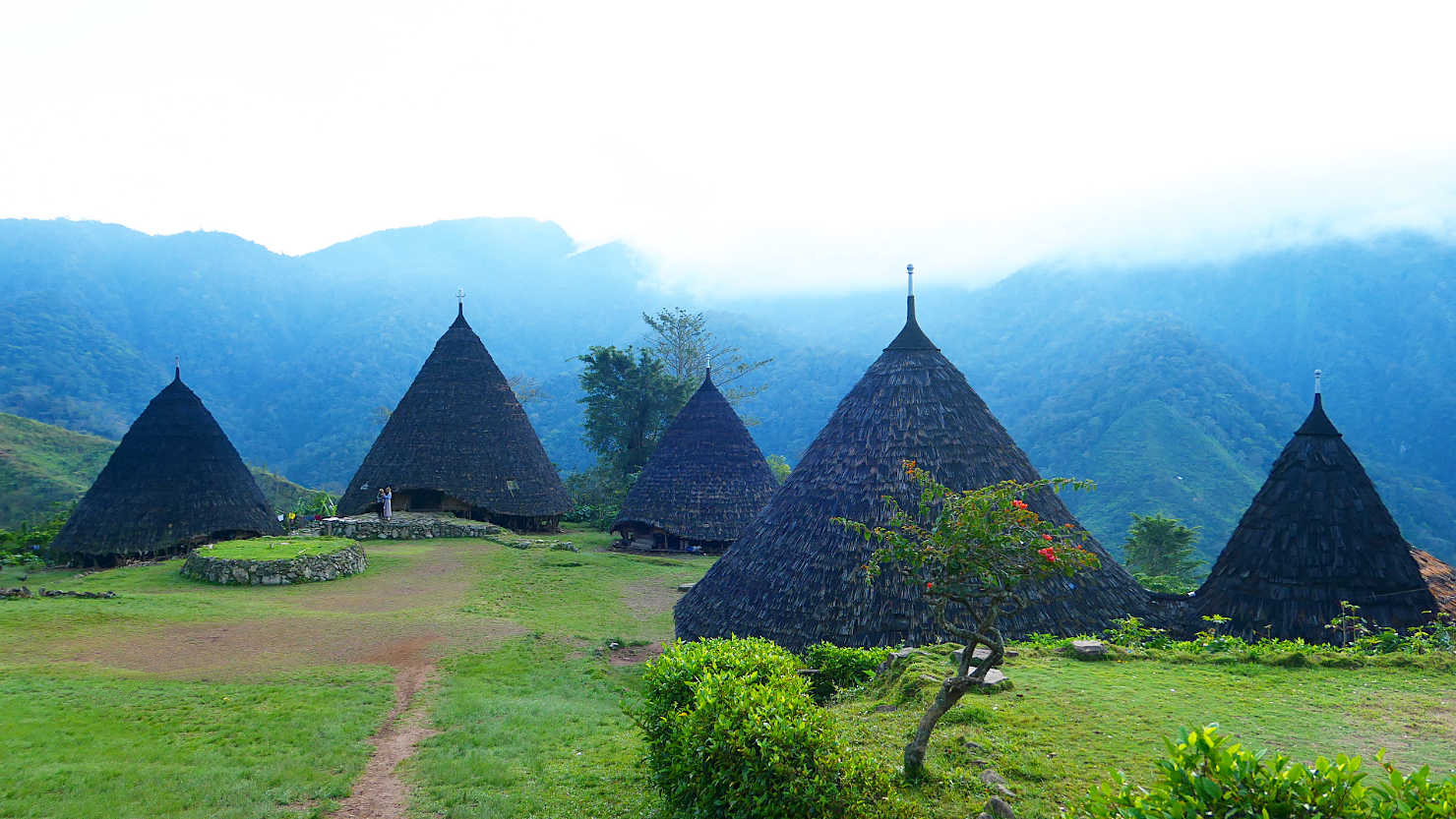
Panorama of the hillside and Wae Rebo Village houses. Wae Rebo Village, Indonesia (Flores).
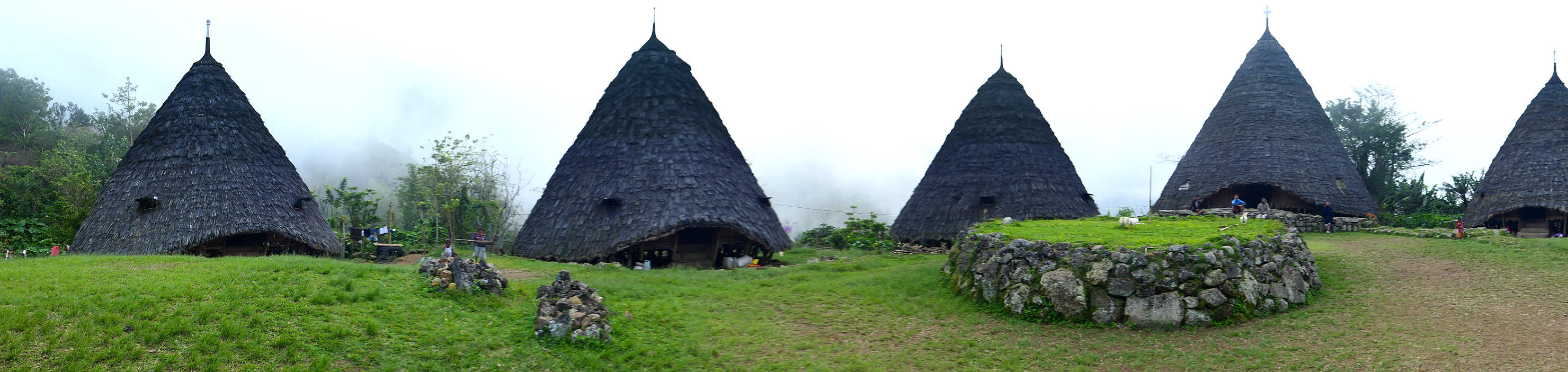
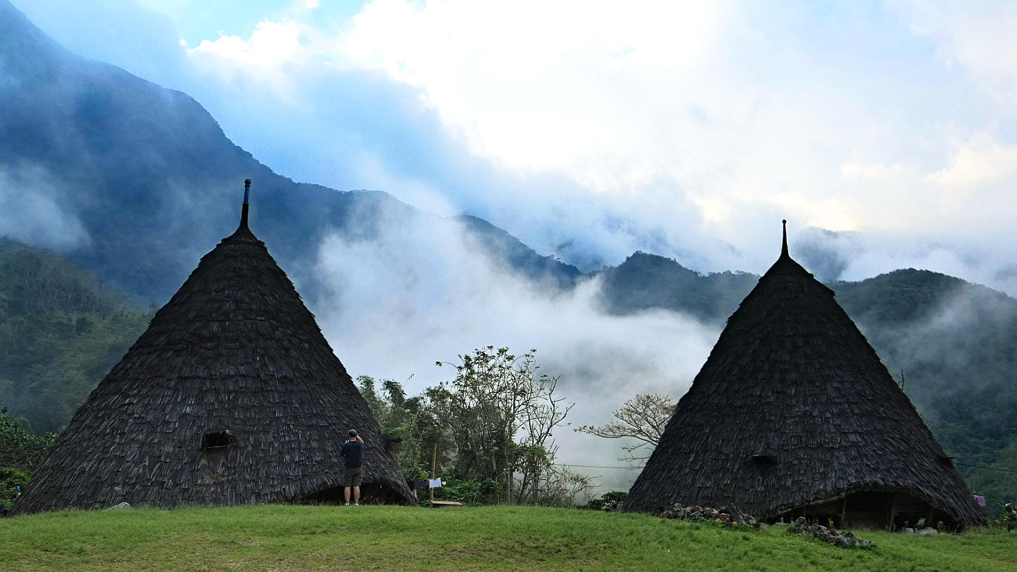
Panorama of Wae Rebo Village houses in the afternoon fog. Wae Rebo Village, Indonesia (Flores).
Fog starting to break up around the houses. Wae Rebo Village, Indonesia (Flores).
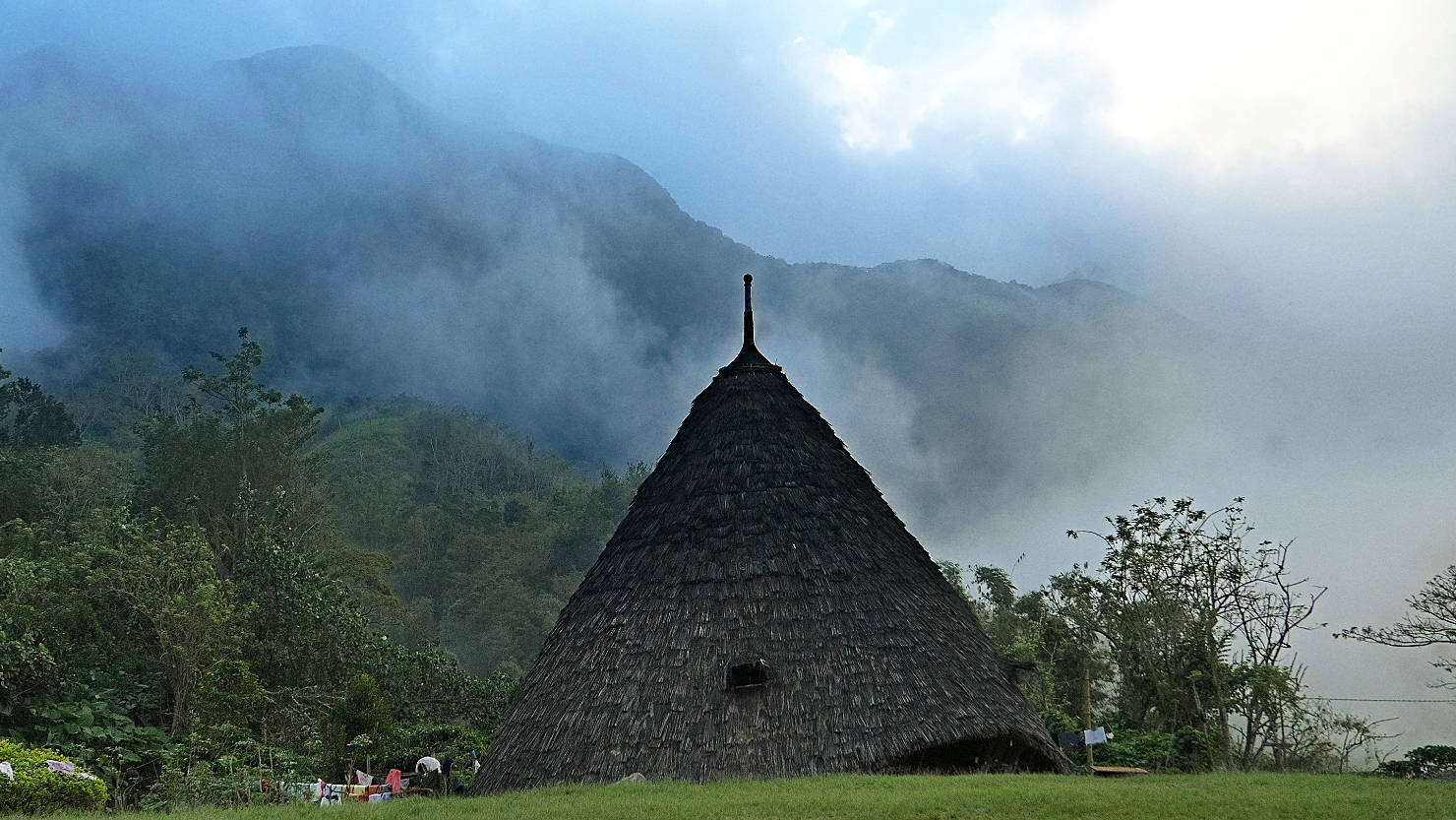
Wae Rebo house with mixed fog and blue sky. Wae Rebo Village, Indonesia (Flores).

Wae Rebo houses in the afternoon fog. Wae Rebo Village, Indonesia (Flores).
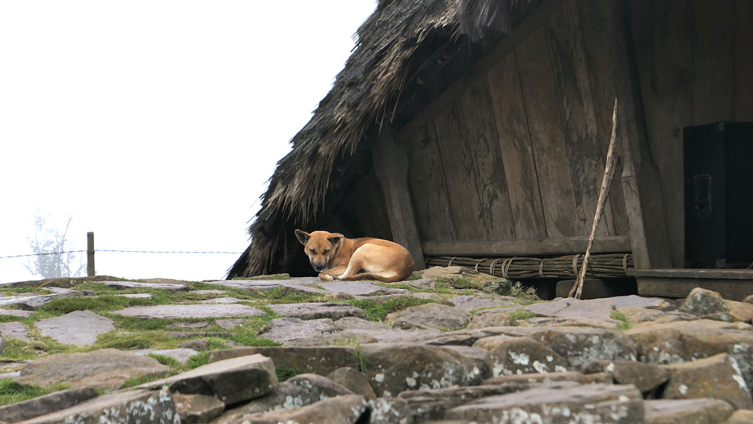
One of several village dogs lounging around. Wae Rebo Village, Indonesia (Flores).

Communal altar with two traditional houses in the afternoon fog. Wae Rebo Village, Indonesia (Flores).

Wae Rebo houses in the afternoon fog. Wae Rebo Village, Indonesia (Flores).
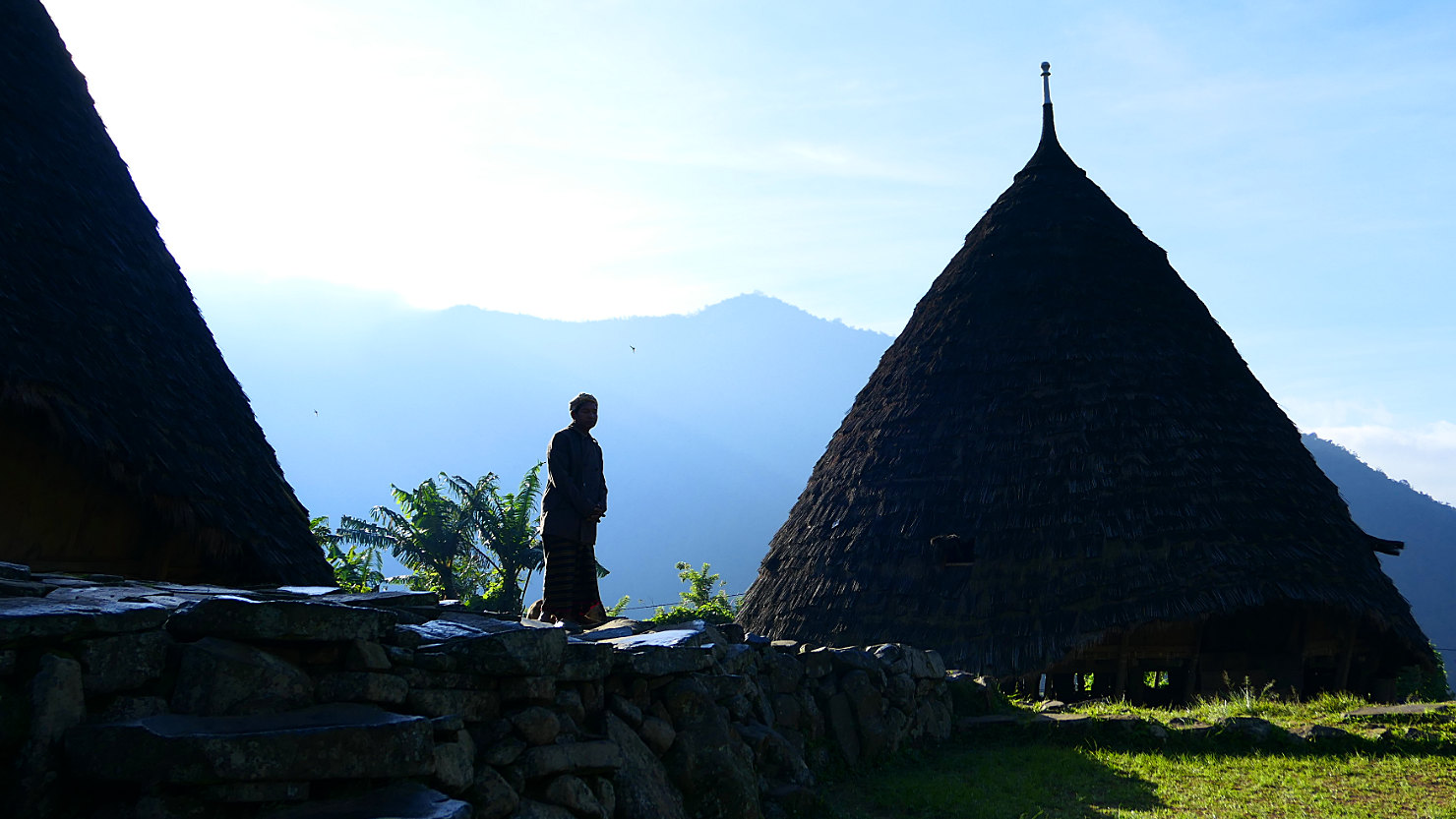
Wae Rebo elder silhouette. Wae Rebo Village, Indonesia (Flores).
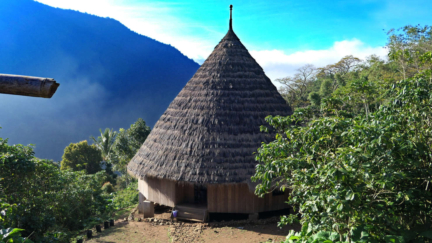
Our communal house for one night. All 25+ guests sleep next to each other on mats around the inside perimeter. Wae Rebo Village, Indonesia (Flores).
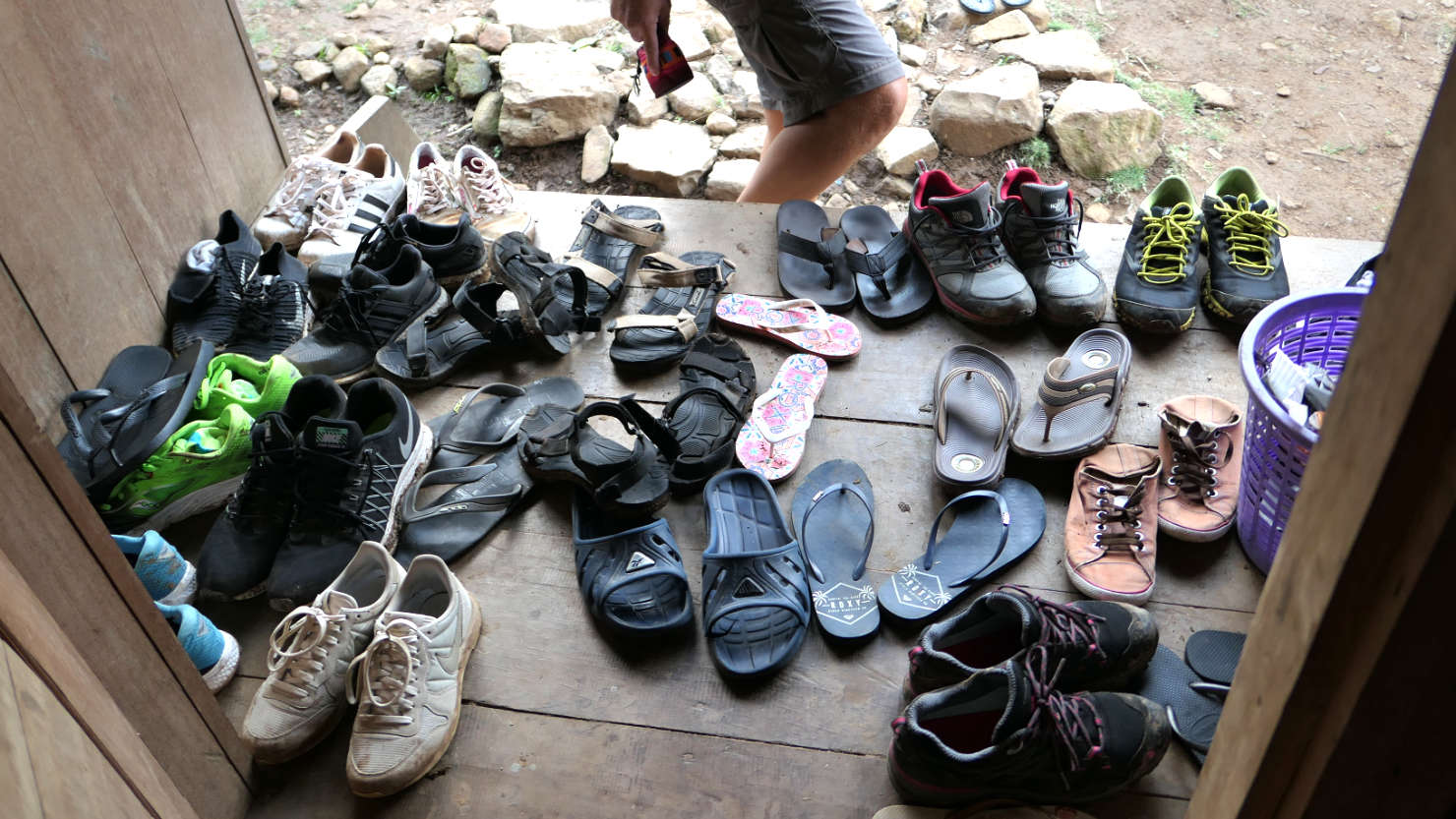
All visitors must remove their shoes before entering the communal sleeping house. Wae Rebo Village, Indonesia (Flores).
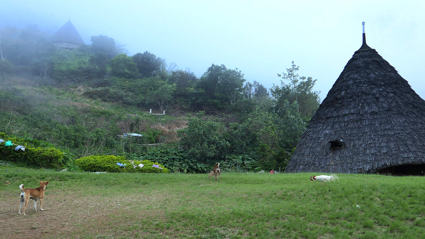
Wae Rebo village dogs and rooster. Wae Rebo Village, Indonesia (Flores).
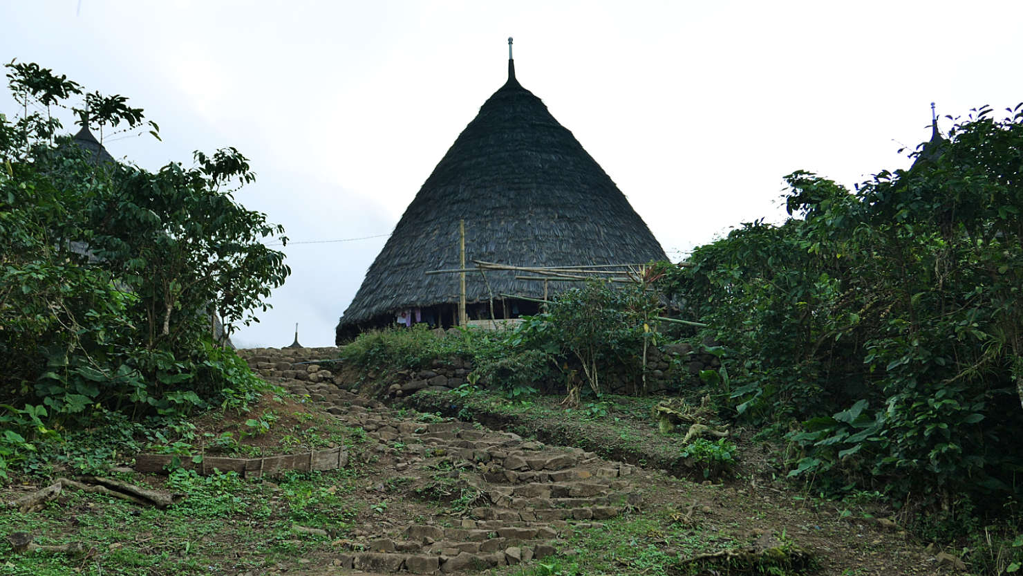
One of two communal guest houses. Wae Rebo Village, Indonesia (Flores).
Wae Rebo houses in the early morning light. Wae Rebo Village, Indonesia (Flores).
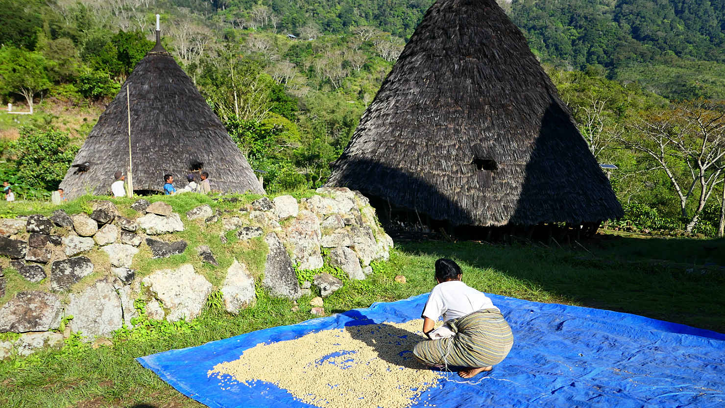
Wae Rebo woman sorting coffee beans. And, the local coffee they serve is from their farm and it's delicious. Wae Rebo Village, Indonesia (Flores).

Wae Rebo houses in the early morning light. Wae Rebo Village, Indonesia (Flores).
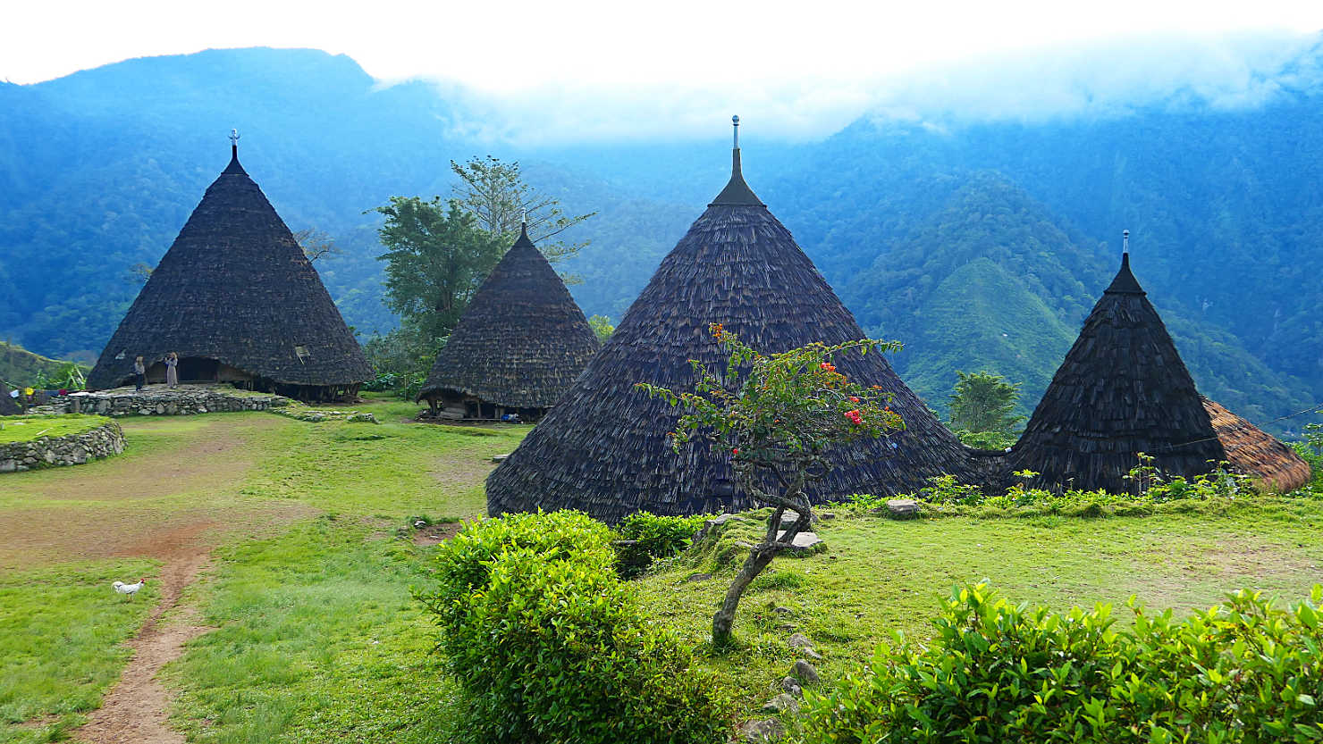
Wae Rebo houses in the early morning light. Wae Rebo Village, Indonesia (Flores).
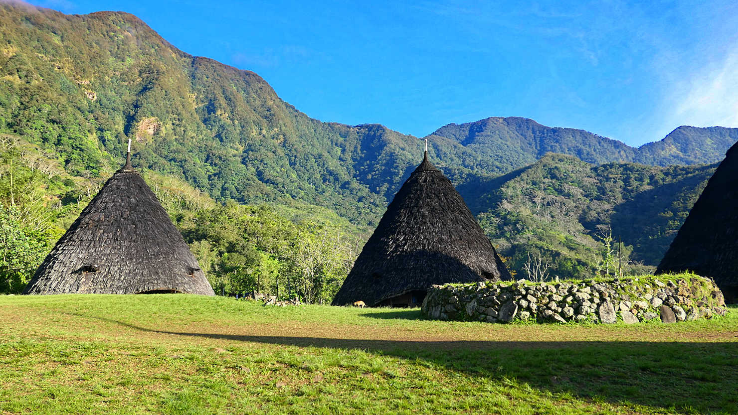
Communal altar and village houses in the morning sunlight. Wae Rebo Village, Indonesia (Flores).
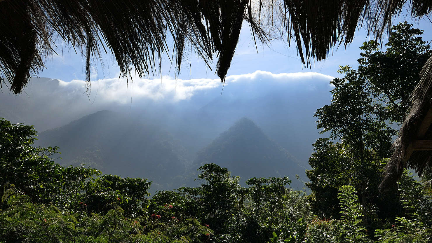
Morning fog over the mountain with sun rays coming through. Wae Rebo Village, Indonesia (Flores).
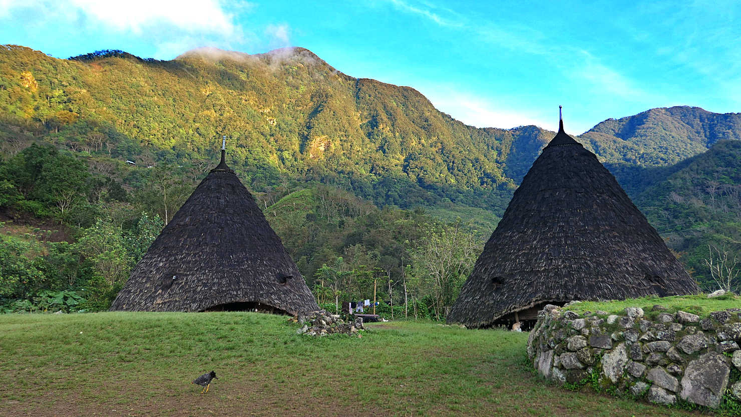
Village houses in the early morning light. Wae Rebo Village, Indonesia (Flores).
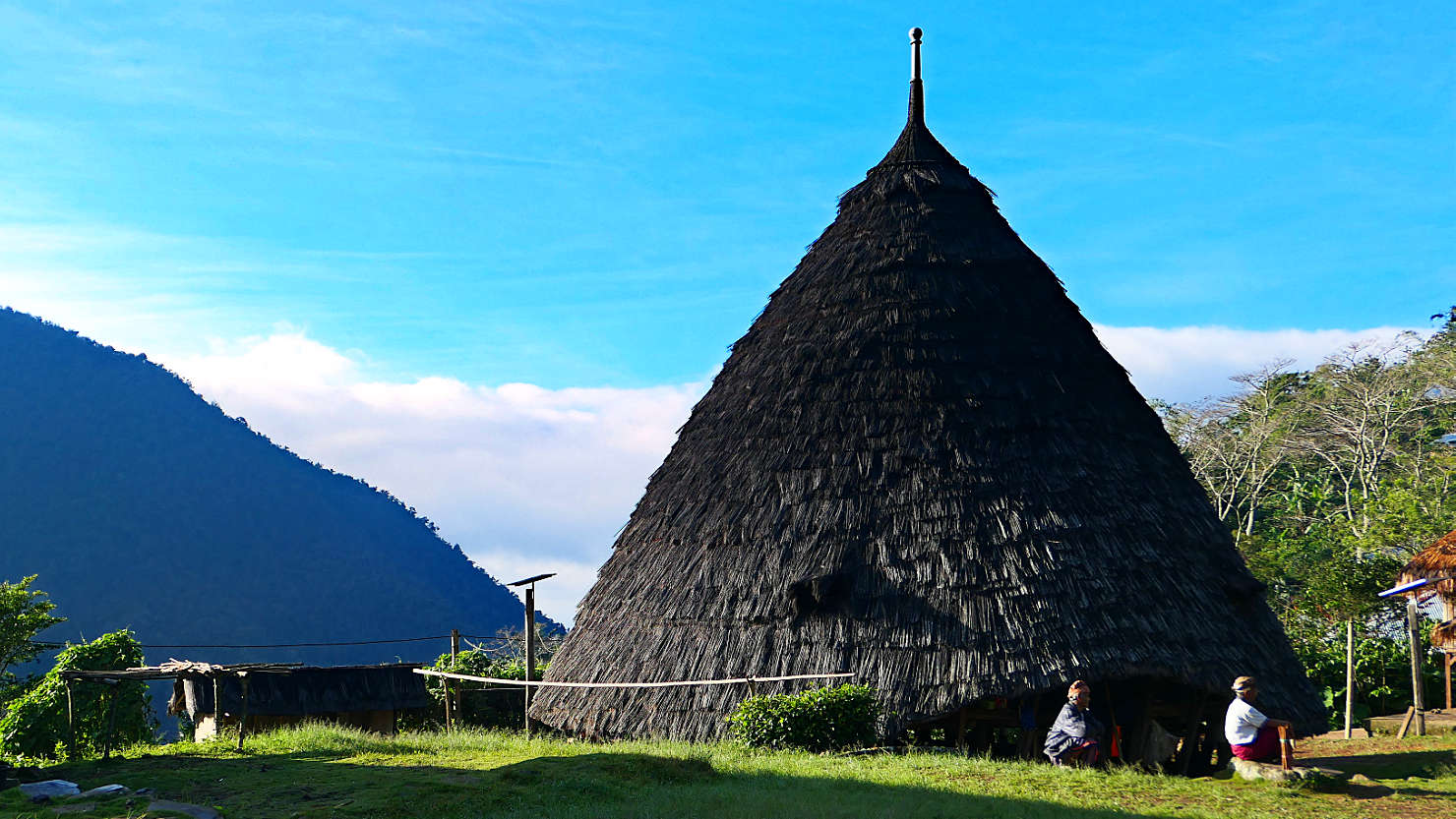
Chief and elder sitting in the morning sunlight. Wae Rebo Village, Indonesia (Flores).
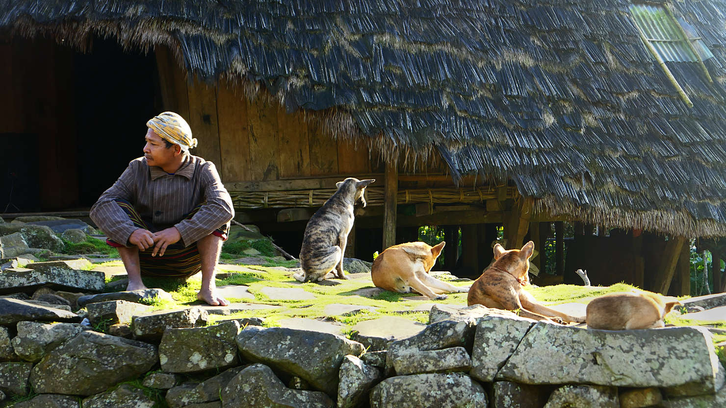
Wae Rebo elder and four local dogs sitting in front of the Chief's house. Wae Rebo Village, Indonesia (Flores).
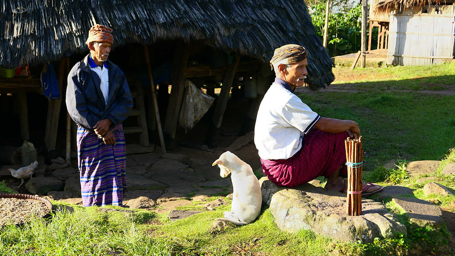
Puppy hanging out with the Wae Rebo Village Chief. Note the size of the cinnamon sticks standing upright on the stone - they harvest it here. Wae Rebo Village, Indonesia (Flores).
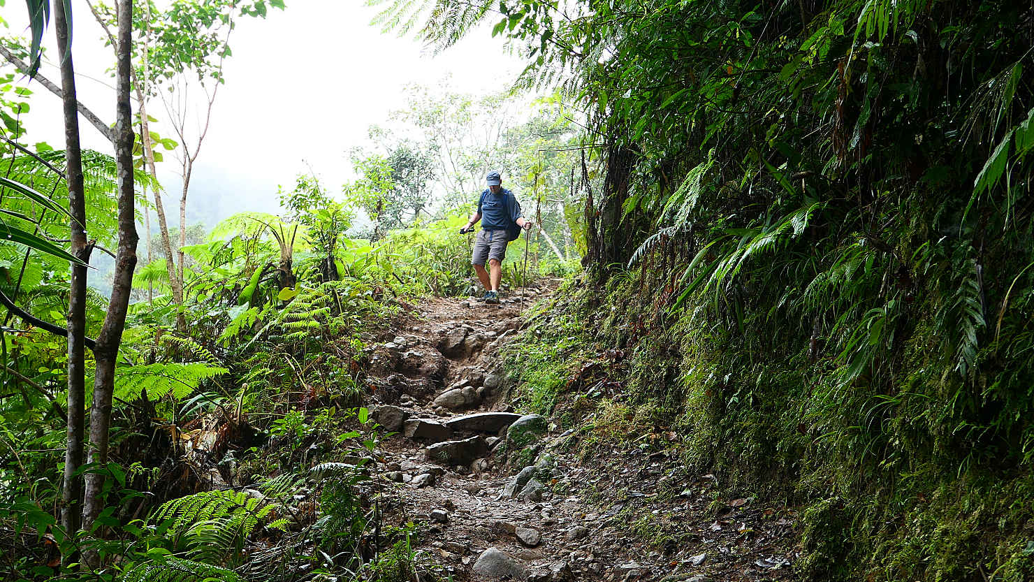
Rick hiking down the trail from the Wae Rebo Village. Wae Rebo Village, Indonesia (Flores).
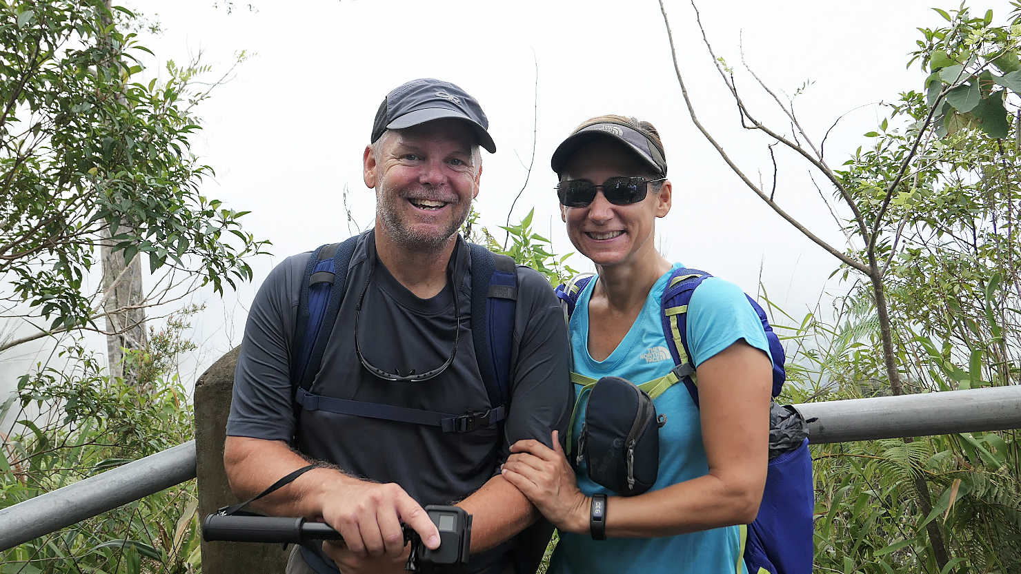
Rick and Alisa hiking down from the village. Wae Rebo Village, Indonesia (Flores).

Water buffalo grazing along the trail to the village. Wae Rebo Village, Indonesia (Flores).
Wae Rebo Village (Flores)
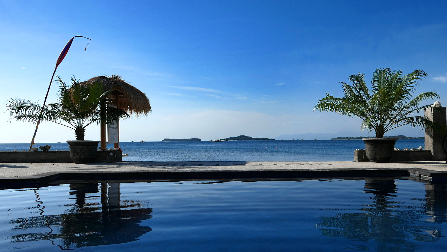
Gili Air, Indonesia (Lombok)

Welcome drinks at Silver Fern Beach Retreat. Sekotong, Indonesia (Lombok).

Saltwater pool at Silver Fern Beach Retreat. Sekotong, Indonesia (Lombok).

View from our patio at Silver Fern Beach Retreat. Sekotong, Indonesia (Lombok).
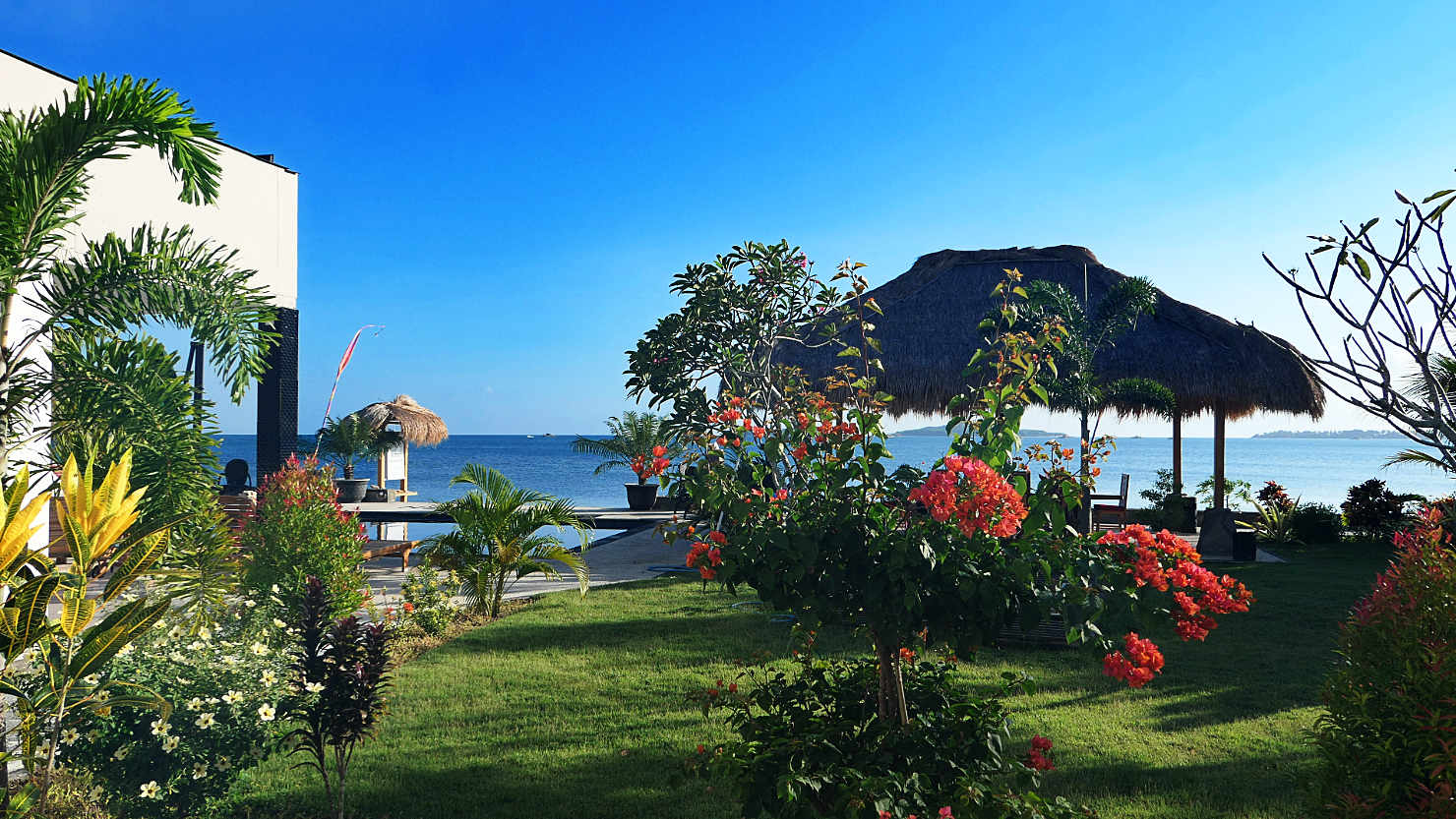
Silver Fern Beach Retreat. Sekotong, Indonesia (Lombok).
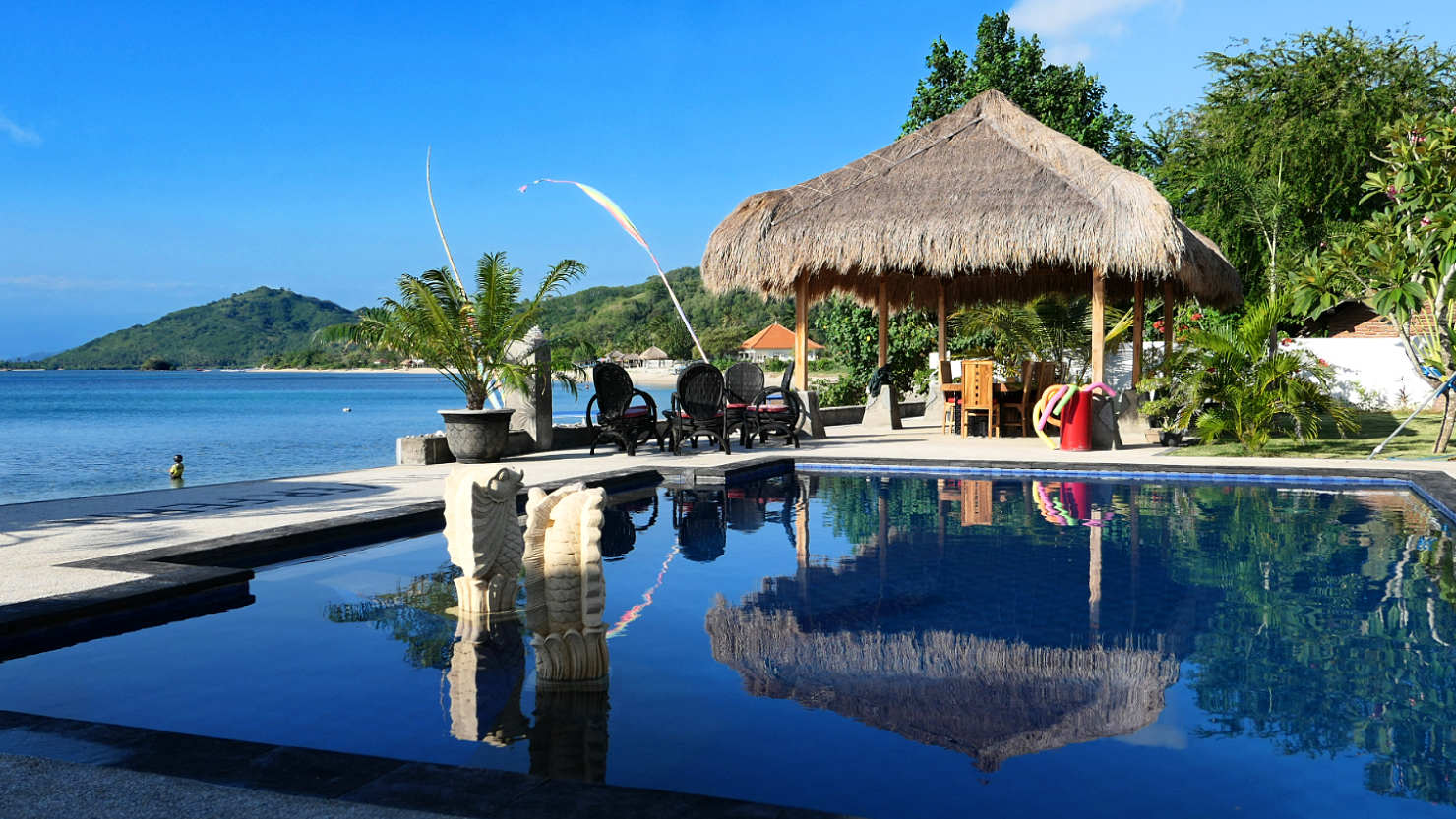
Saltwater pool and palapa at Silver Fern Beach Retreat. Sekotong, Indonesia (Lombok).

Local fisherman with his motorcycle helmet on to keep from getting sunburned. Sekotong, Indonesia (Lombok).
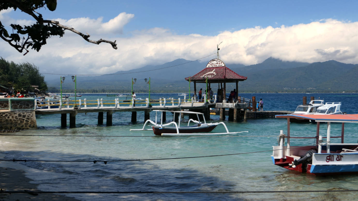
Gili Air ferry landing. Gili Air, Indonesia (Lombok).
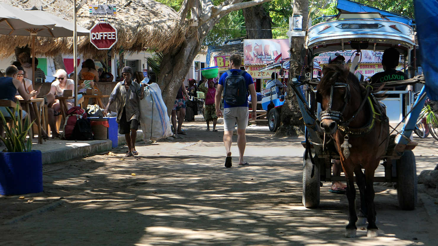
Gili Air street scene. The only forms of transportation on the island are horse and cart, bicycle, or walking. Gili Air, Indonesia (Lombok).
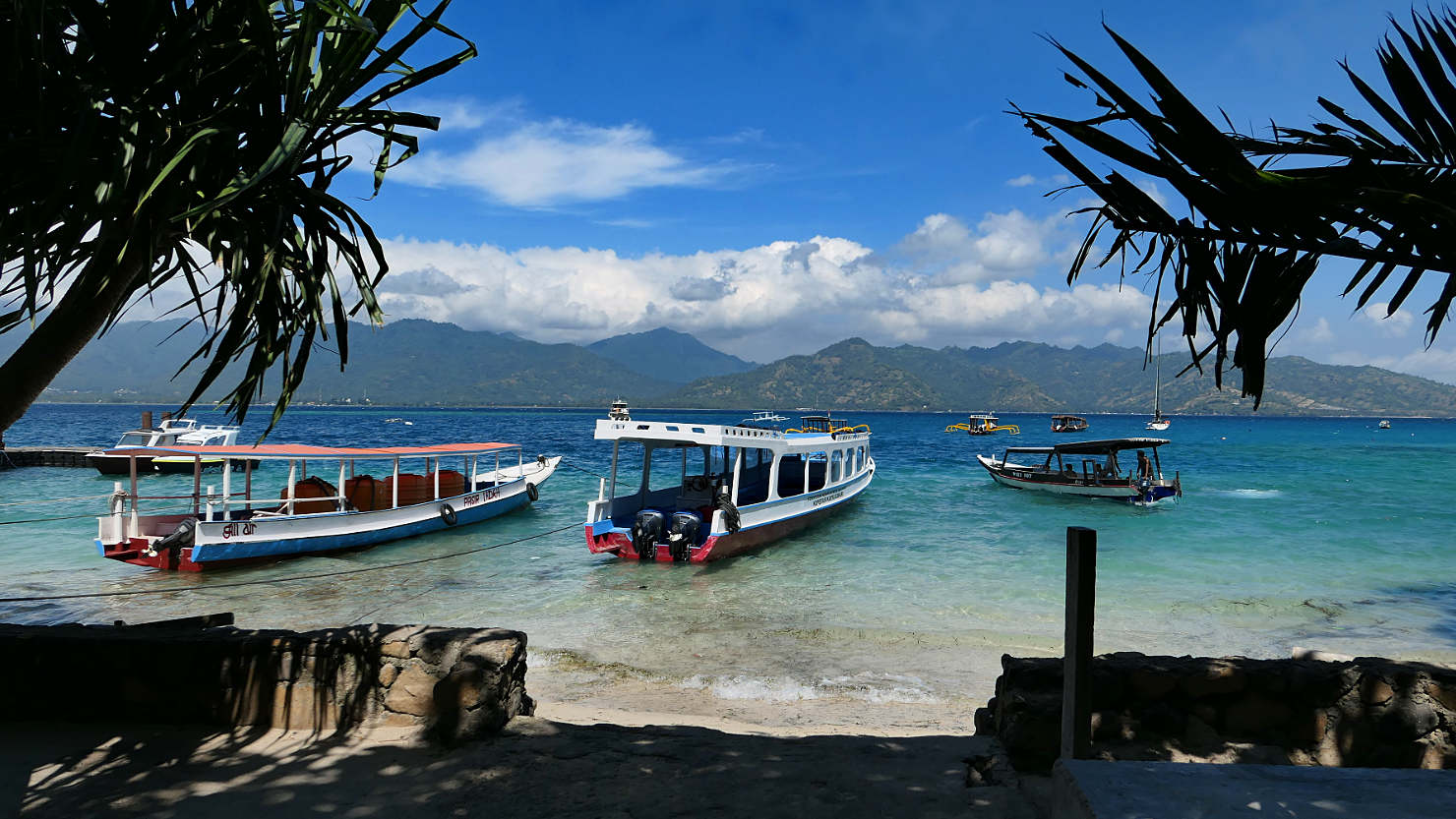
Gili Air boats near jetty. Gili Air, Indonesia (Lombok).

Gili Air horse and cart taxi. Gili Air, Indonesia (Lombok).

Gili Air boat. Gili Air, Indonesia (Lombok).
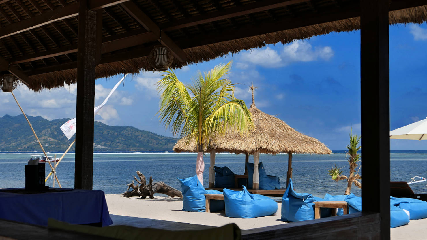
Beachfront restaurant on Gili Air. Gili Air, Indonesia (Lombok).

Beachfront restaurant on Gili Air. Gili Air, Indonesia (Lombok).

Pool at our accommodation on Gili Air. Gili Air, Indonesia (Lombok).
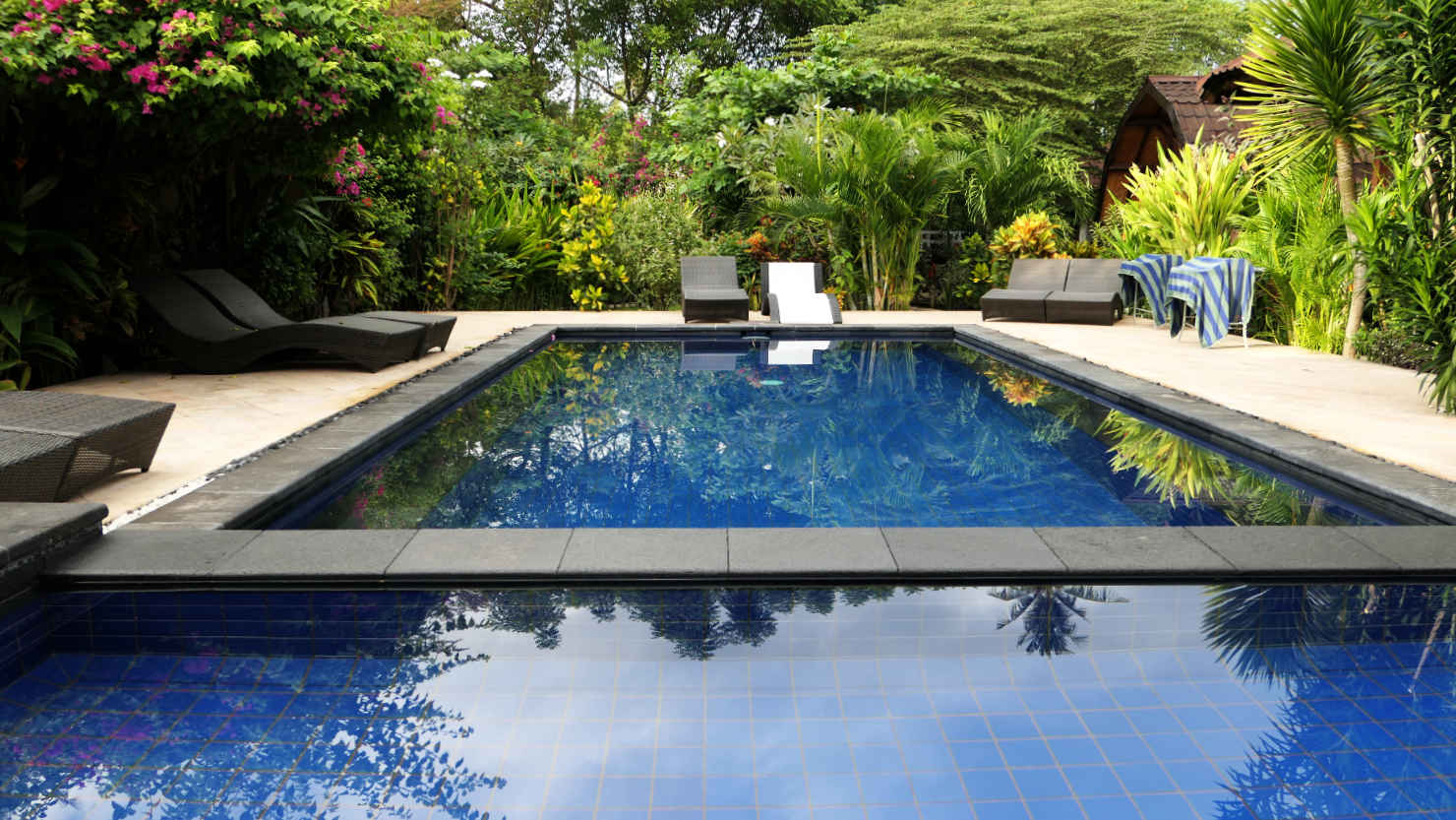
Pool at our accommodation on Gili Air. Gili Air, Indonesia (Lombok).
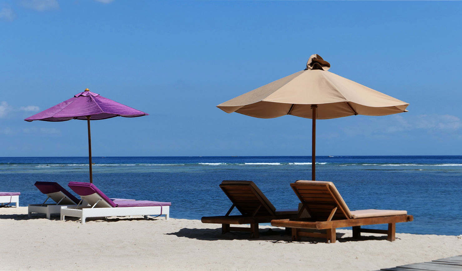
Gili Air beach chairs and umbrellas. Gili Air, Indonesia (Lombok).
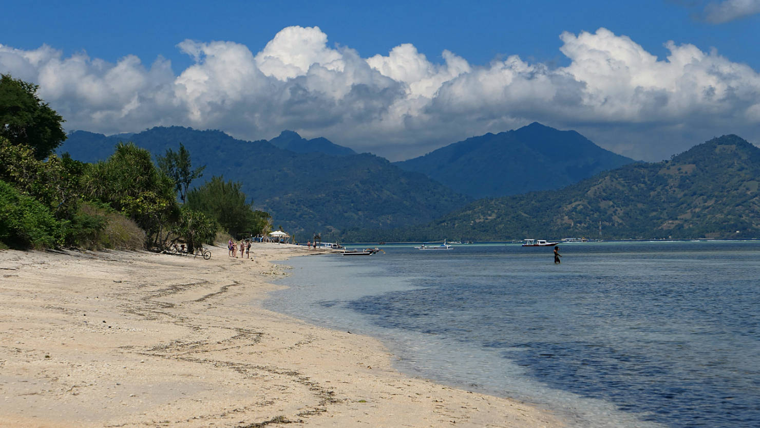
Gili Air beach scene. Gili Air, Indonesia (Lombok).

Gili Air beach scene. Gili Air, Indonesia (Lombok).
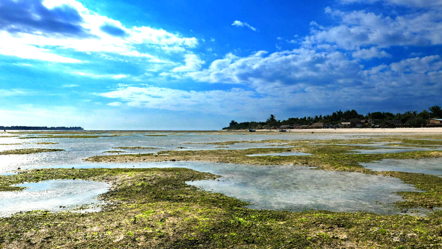

Fishing at low tide. Gili Air, Indonesia (Lombok).

Rick and Alisa walking at low tide. Gili Air, Indonesia (Lombok).
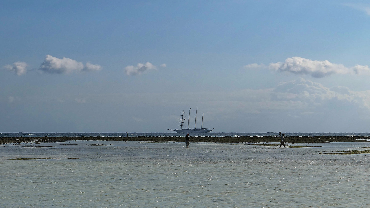
Sailing ship at low tide. Gili Air, Indonesia (Lombok).

Sailing ship at low tide. Gili Air, Indonesia (Lombok).

Panorama view at low tide. Gili Air, Indonesia (Lombok).

Looking back at the Gili Air island at low tide. Gili Air, Indonesia (Lombok).
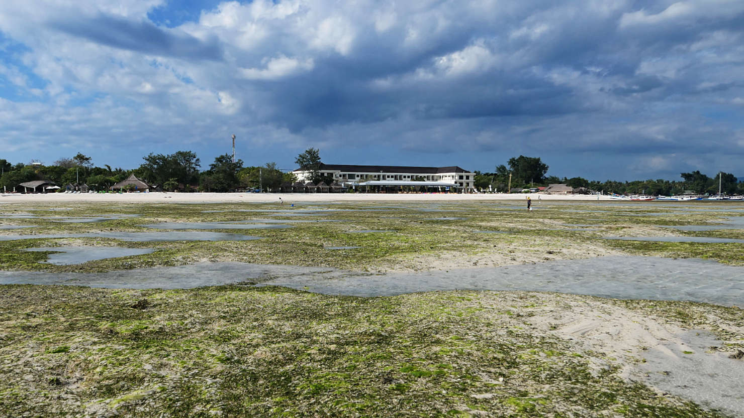
Looking back at the Gili Air island at low tide. Gili Air, Indonesia (Lombok).
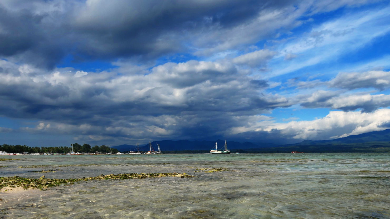
Low tide view. Gili Air, Indonesia (Lombok).
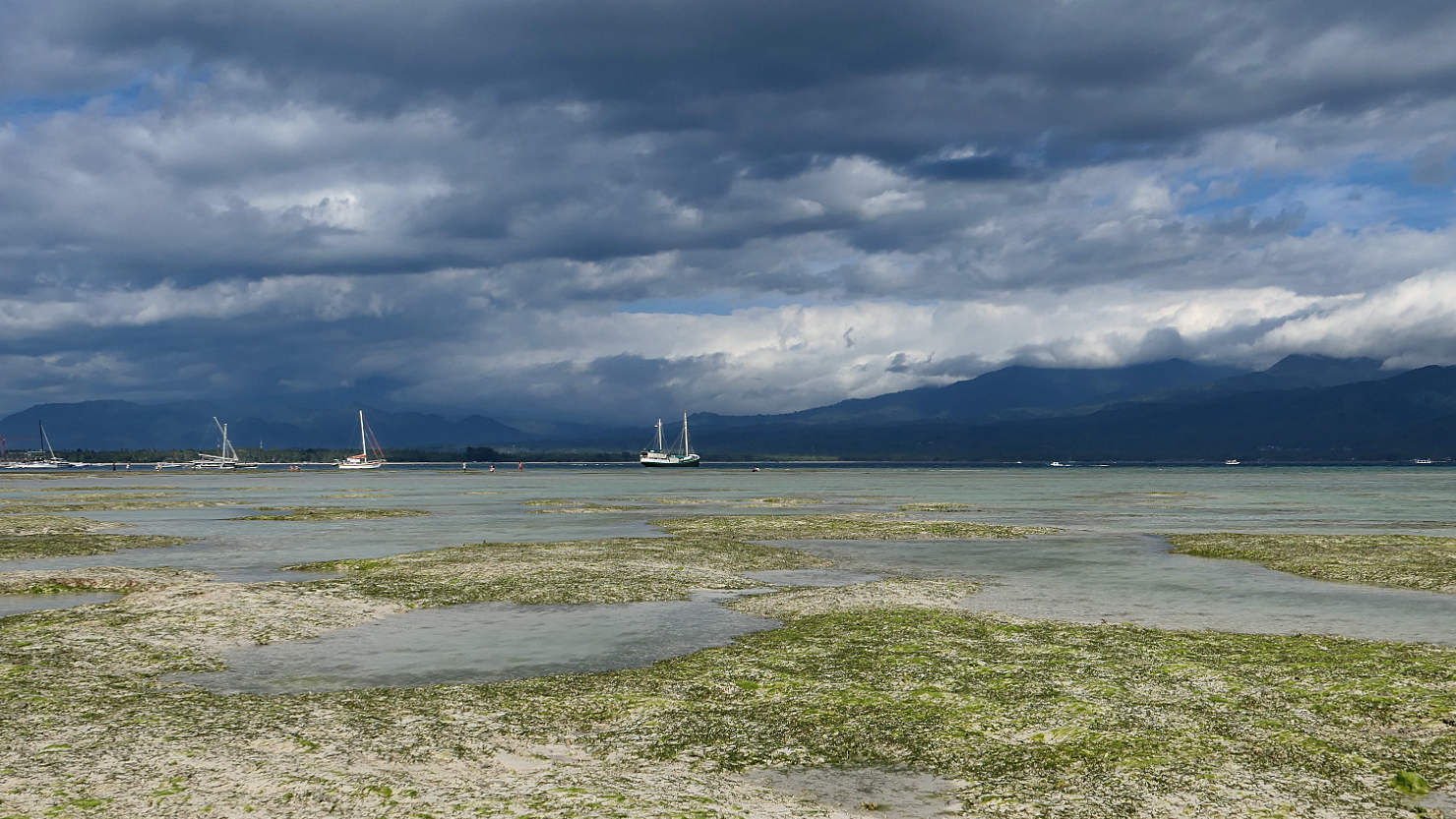
Low tide view. Gili Air, Indonesia (Lombok).
Gili Air (Lombok)
Senaru, Indonesia (Lombok)

Our guide, Mr. AllGood, on the trail to the waterfalls. Senaru, Indonesia (Lombok).
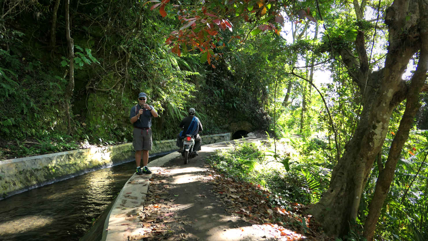
Rick steps aside as a scooter passes by on the trail. Senaru, Indonesia (Lombok).
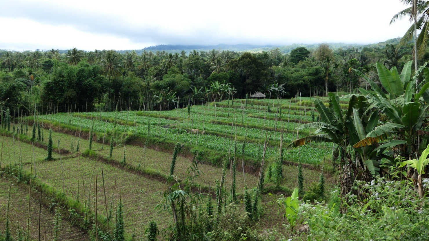
Terraced rice field. Senaru, Indonesia (Lombok).

Porters coming down from climbing Mt. Rinjani. Senaru, Indonesia (Lombok).

Rice fields with green bean plants growing on the vertical bamboo poles. Senaru, Indonesia (Lombok).
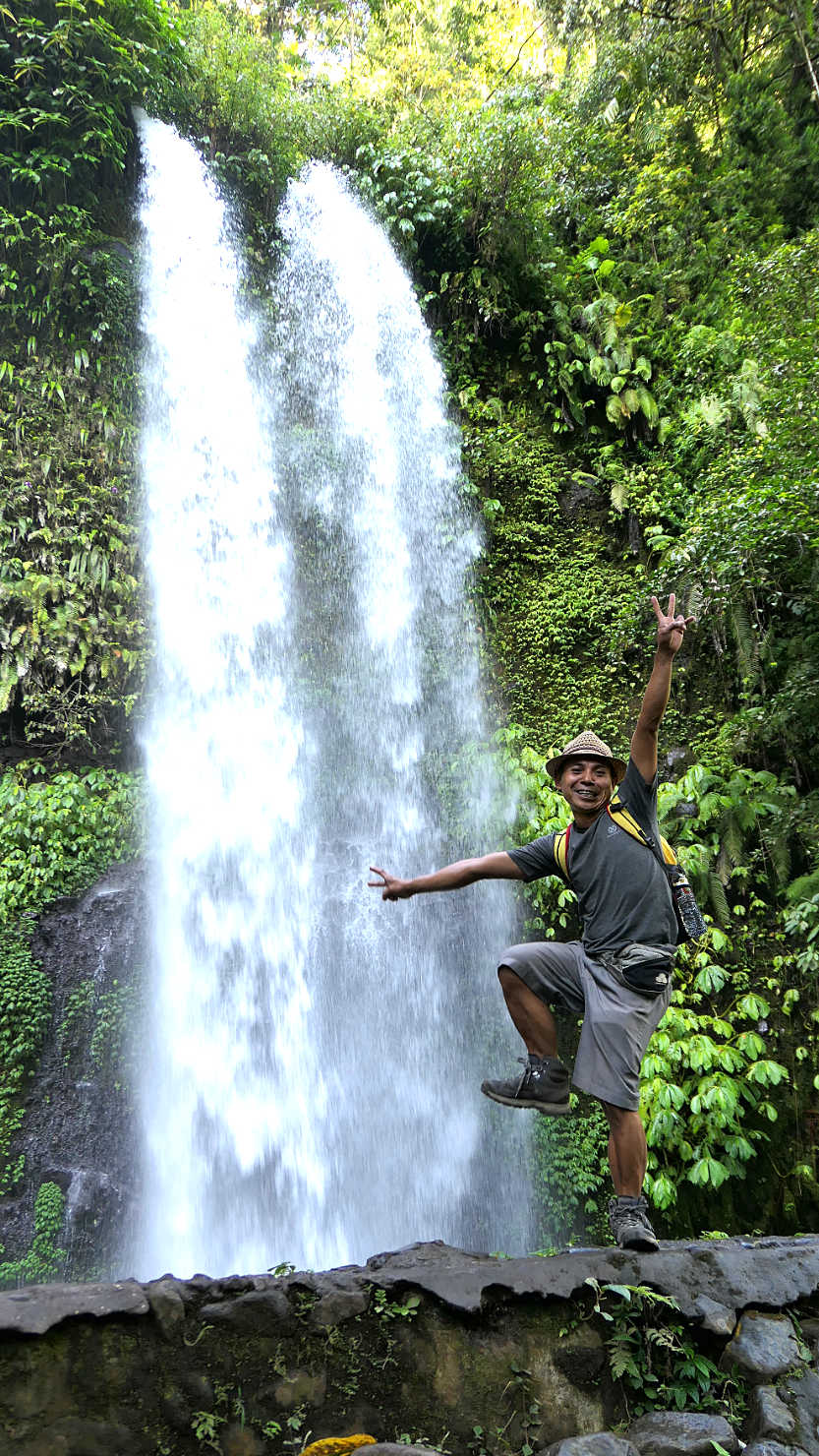
Our guide, Mr AllGood, at Sendang Gila Waterfall. Senaru, Indonesia (Lombok).
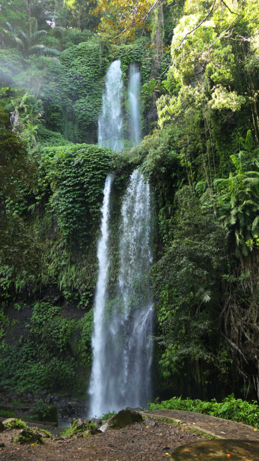
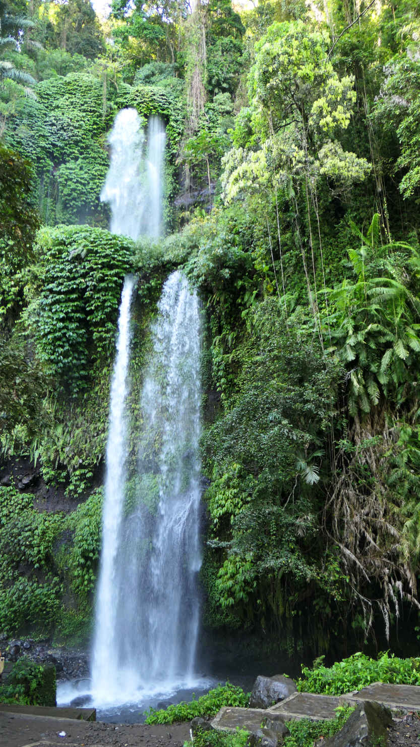
Sendang Gila Waterfall. Senaru, Indonesia (Lombok).
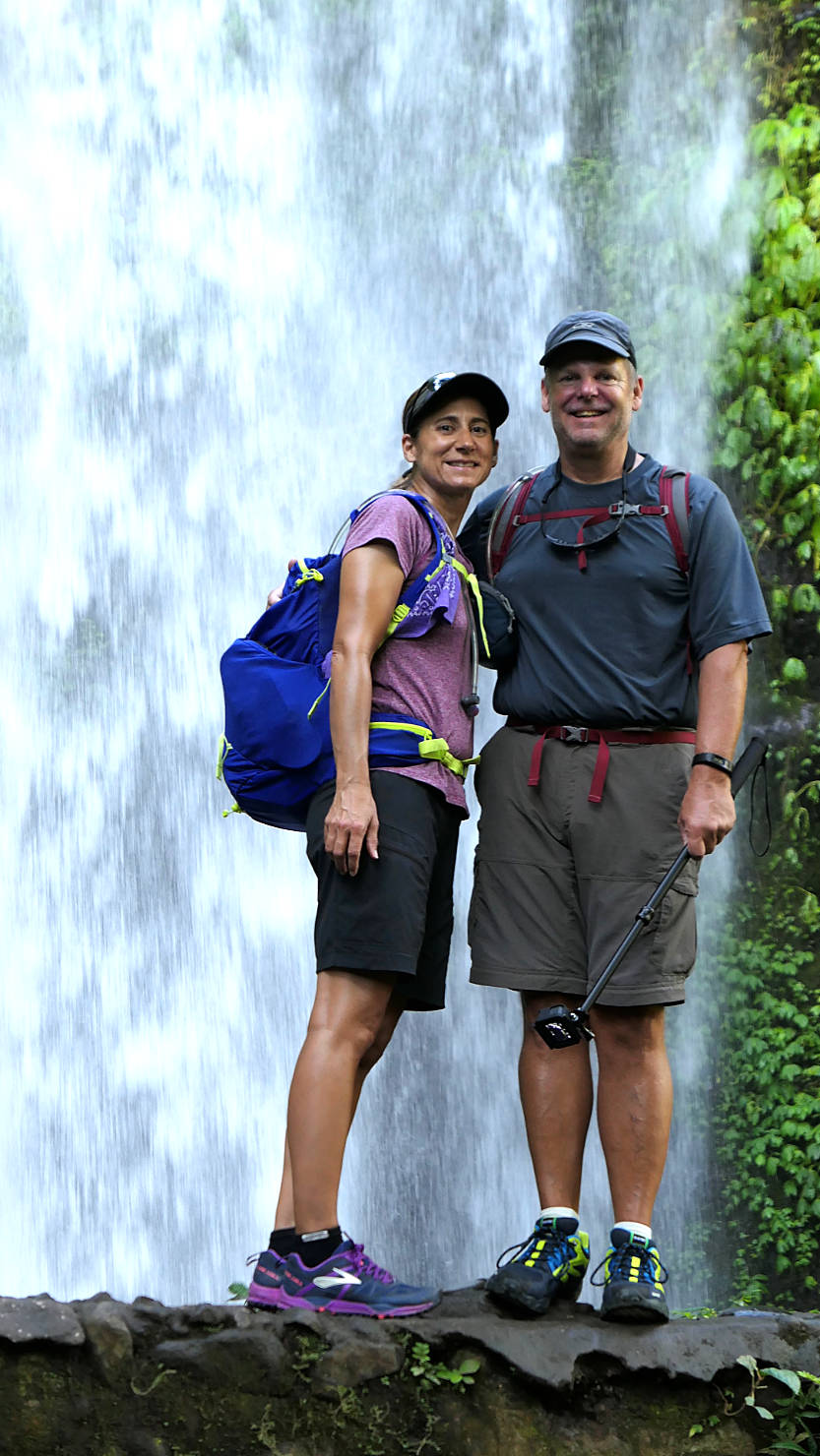
Rick and Alisa in front of Sendang Gila Waterfall. Senaru, Indonesia (Lombok).
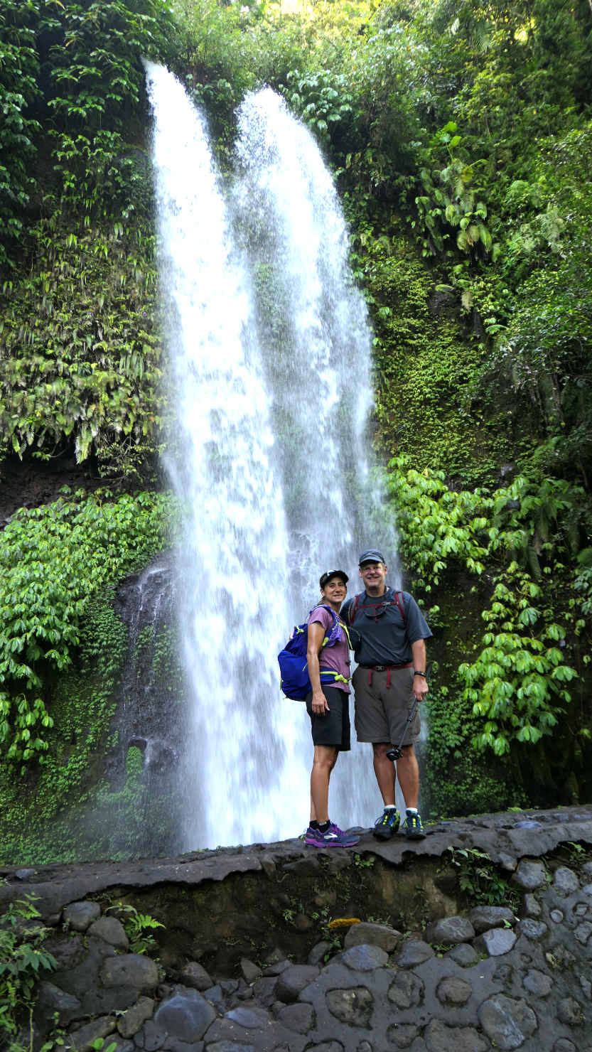
Rick and Alisa in front of Sendang Gila Waterfall. Senaru, Indonesia (Lombok).
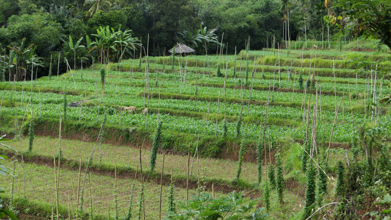
Rice fields seen on our hike. Senaru, Indonesia (Lombok).

Palms, corn fields, and grass fields. Senaru, Indonesia (Lombok).

River view on our hike to the waterfalls. Senaru, Indonesia (Lombok).
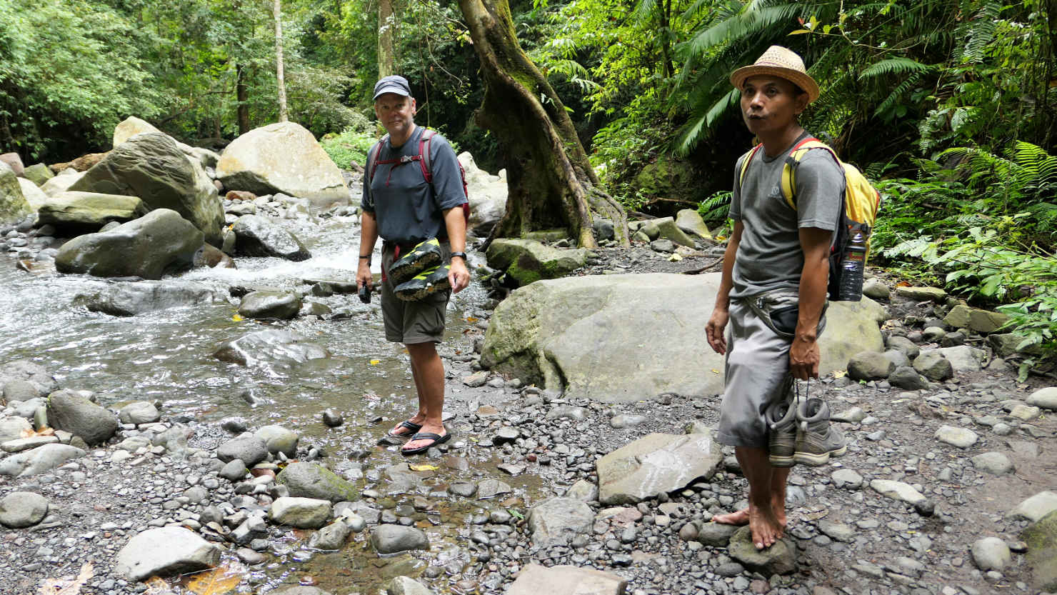
Our guide, Mr AllGood, and Rick getting ready to cross the river. Senaru, Indonesia (Lombok).
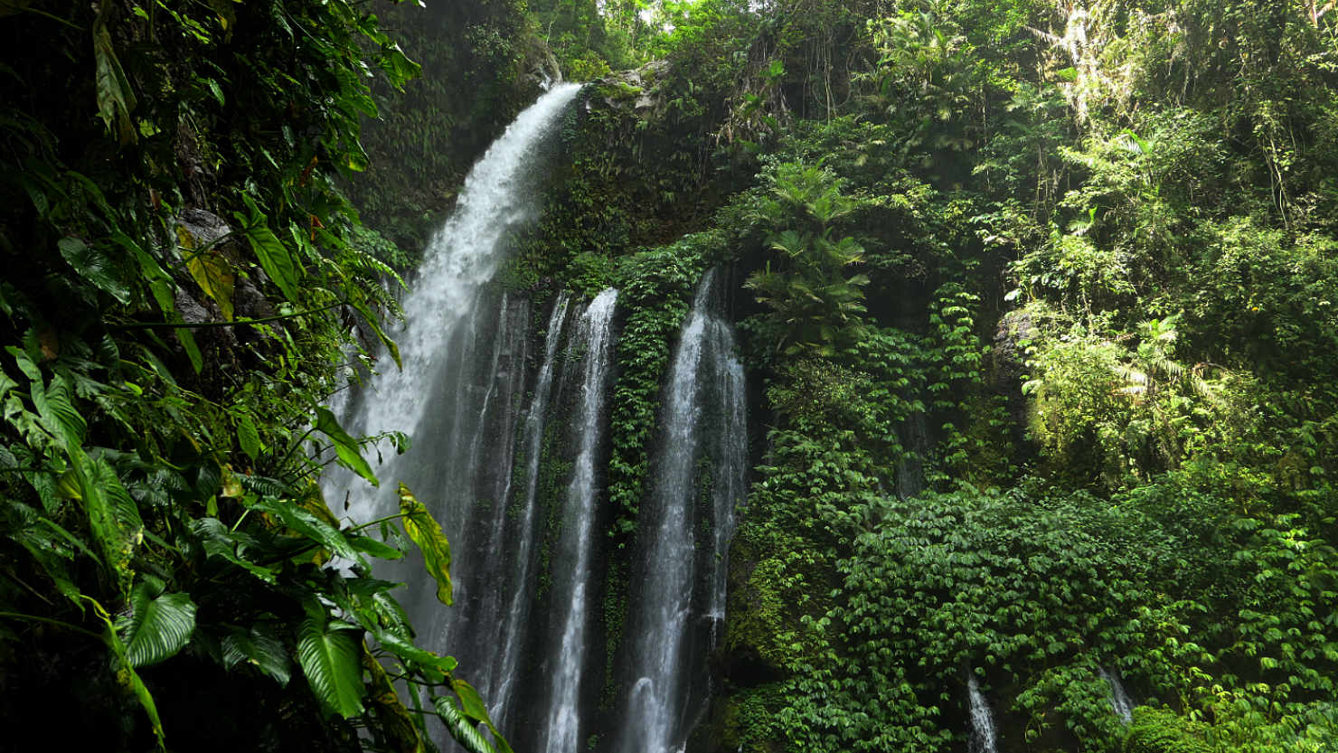
Tiu Kelep Waterfall. Senaru, Indonesia (Lombok).

Tiu Kelep Waterfall. Senaru, Indonesia (Lombok).

Tiu Kelep Waterfall. Senaru, Indonesia (Lombok).
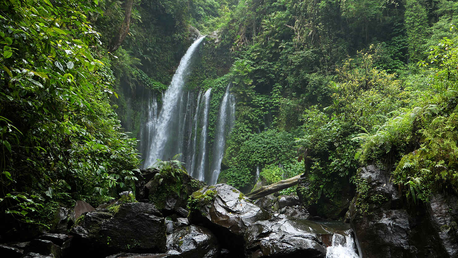
Tiu Kelep Waterfall. Senaru, Indonesia (Lombok).

Field worker's break hut. Senaru, Indonesia (Lombok).
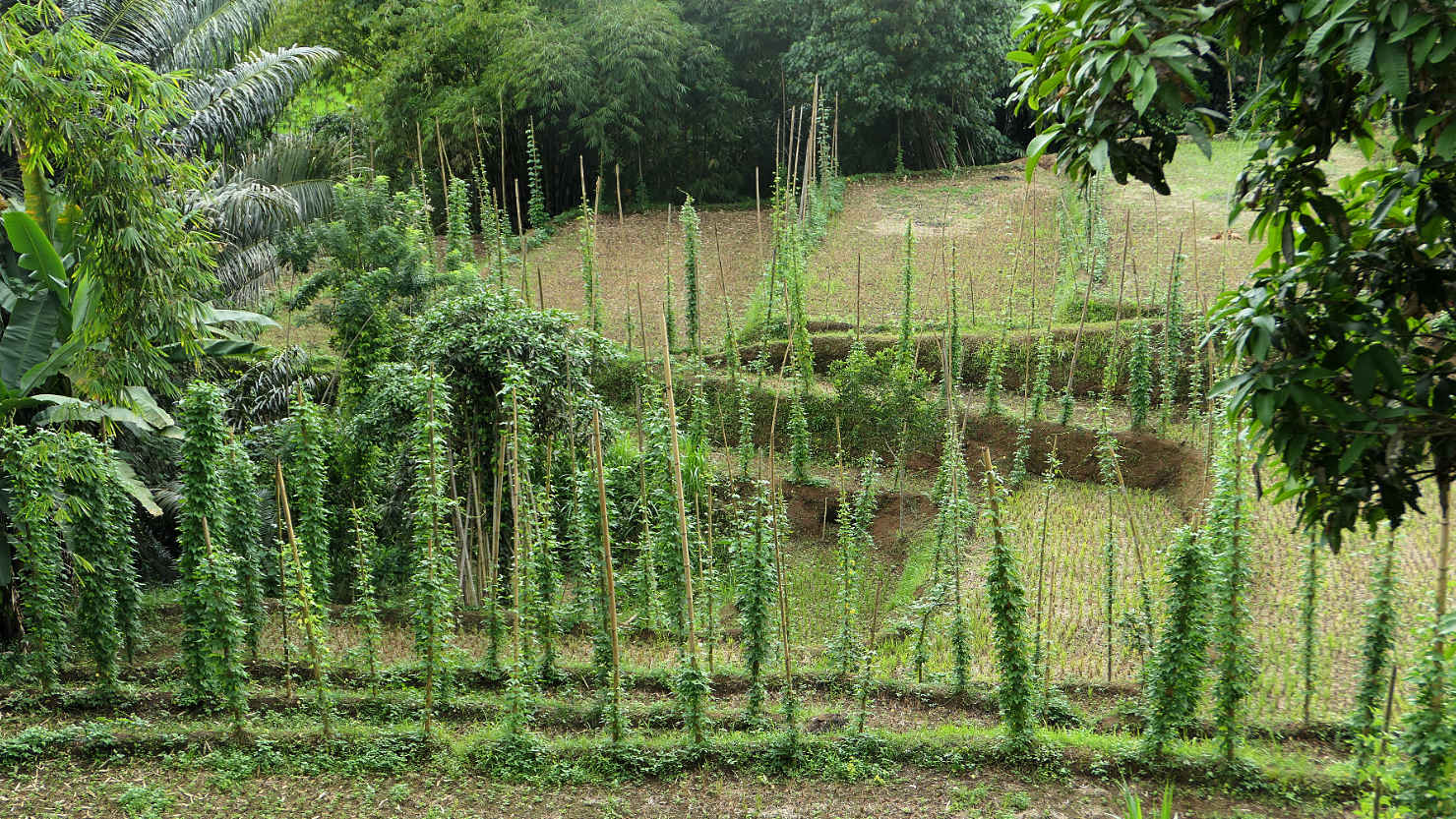
Green bean plants. Senaru, Indonesia (Lombok).

Palm oil fruit and kernels. Senaru, Indonesia (Lombok).
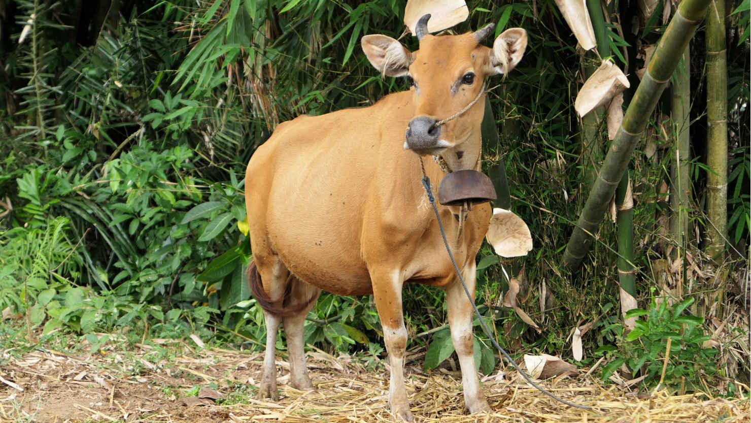
Local Senaru cow. Senaru, Indonesia (Lombok).
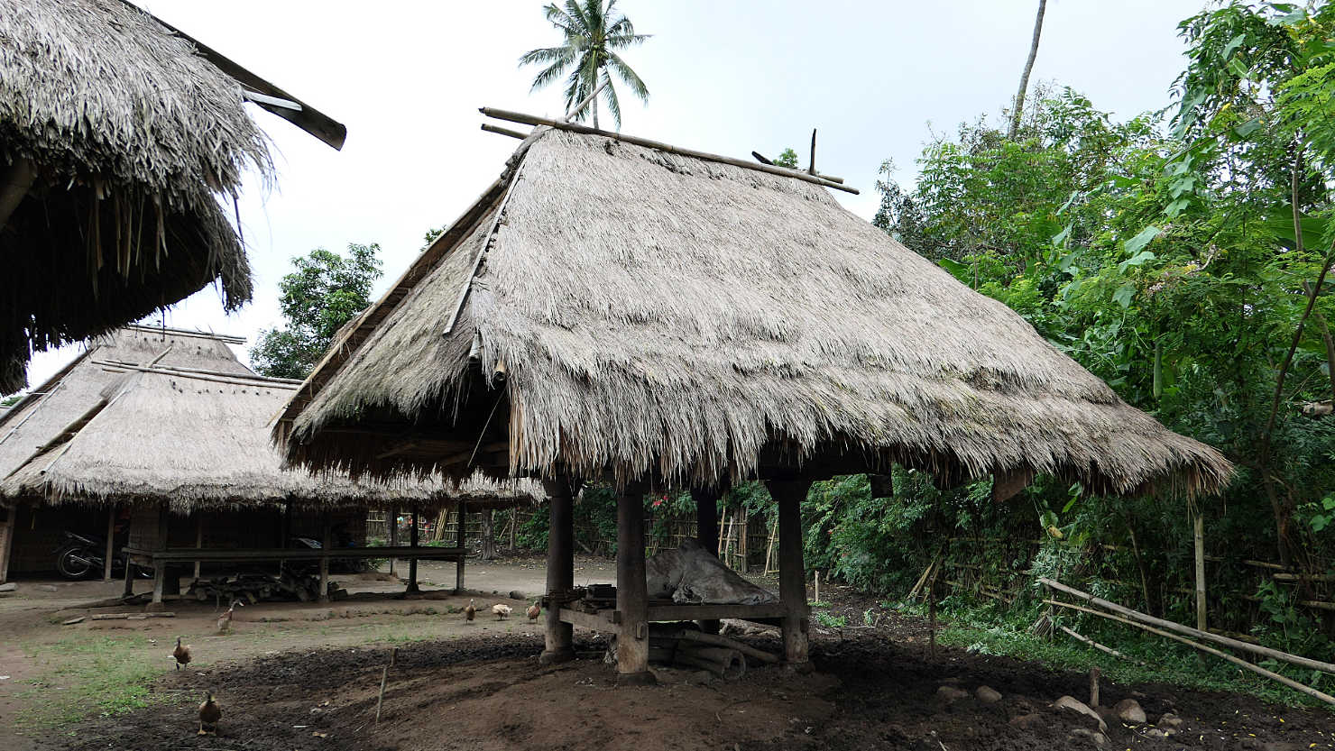
Senaru Old Village. Locals still live in these traditional huts Senaru, Indonesia (Lombok).

Senaru Old Village. Locals still live in these traditional huts Senaru, Indonesia (Lombok).

Senaru Old Village. Locals still live in these traditional huts Senaru, Indonesia (Lombok).
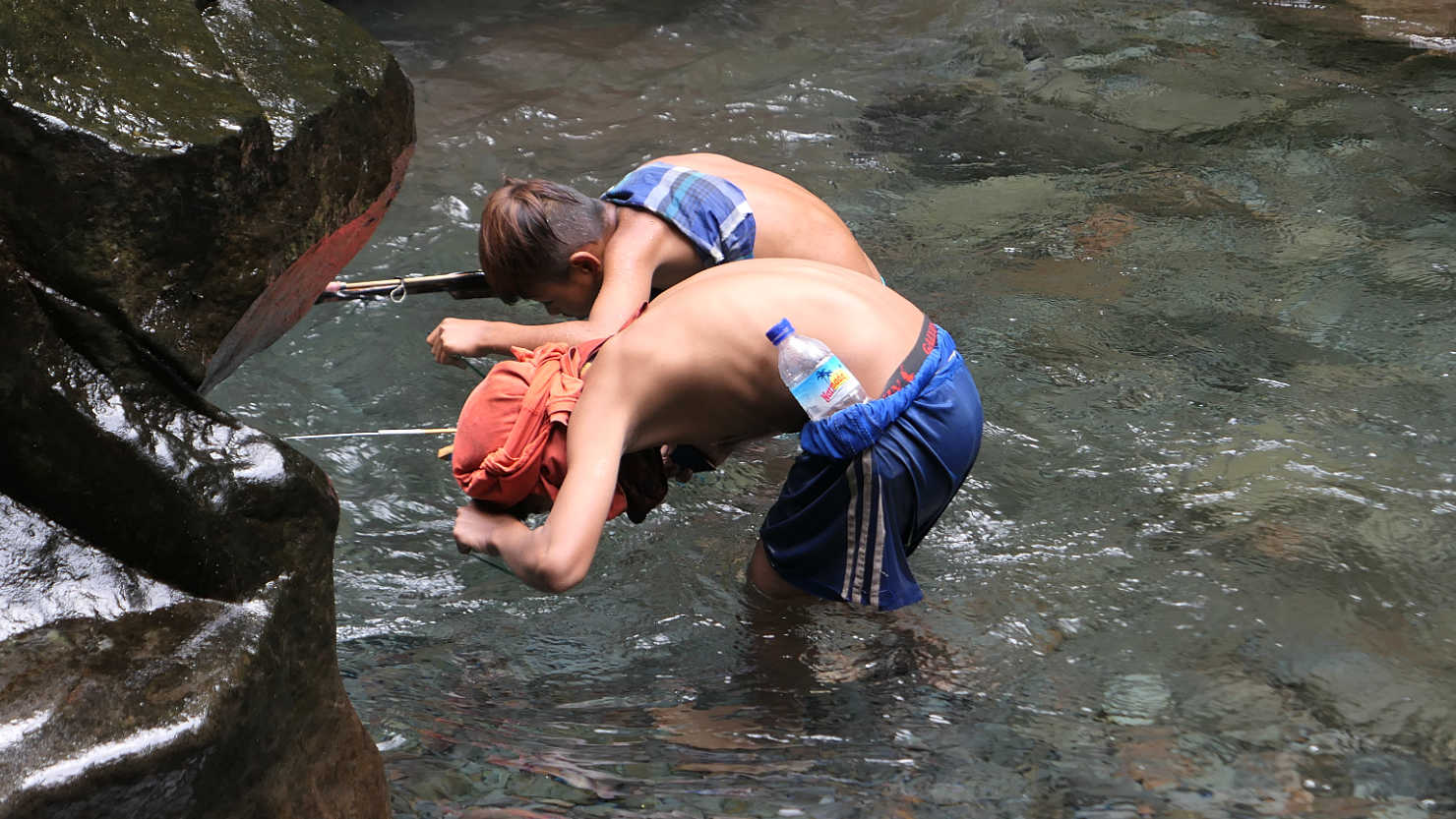
Local kids spear fishing in the river. They're using broken pieces of glass to see the bottom...probably not the safest 😉 Senaru, Indonesia (Lombok).
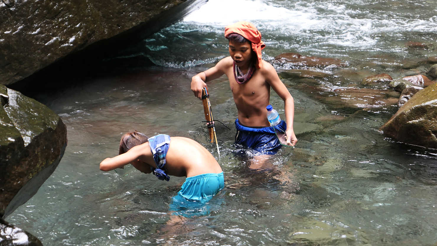
Local kids spear fishing in the river. They're using broken pieces of glass to see the bottom...probably not the safest 😉 Senaru, Indonesia (Lombok).
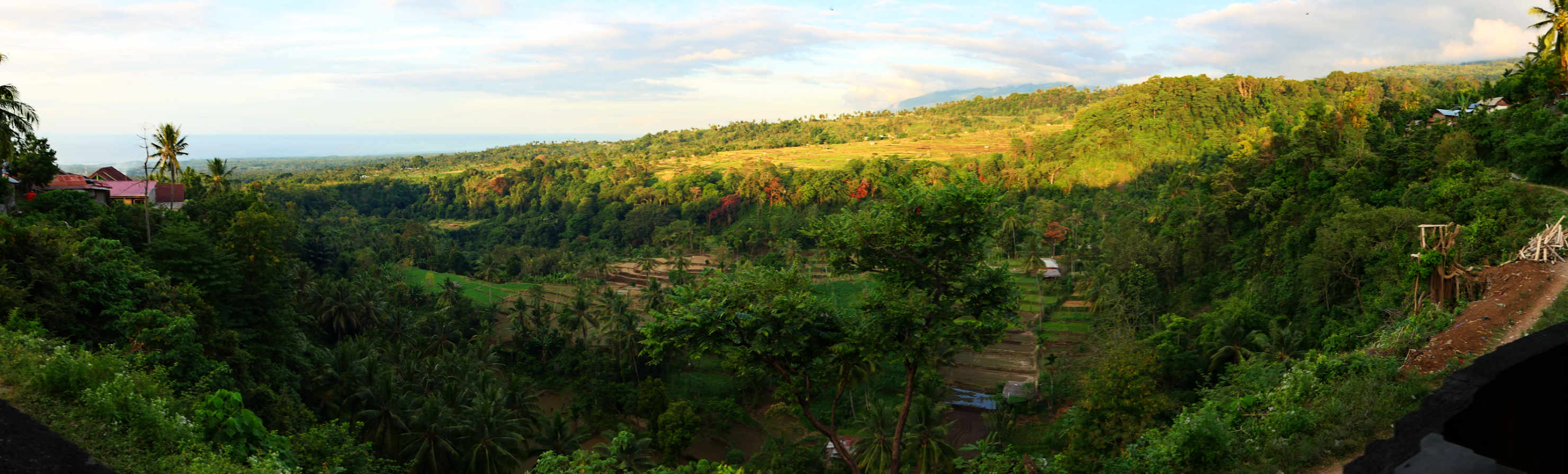
Panorama view from a local restaurant (warung) deck. Senaru, Indonesia (Lombok).
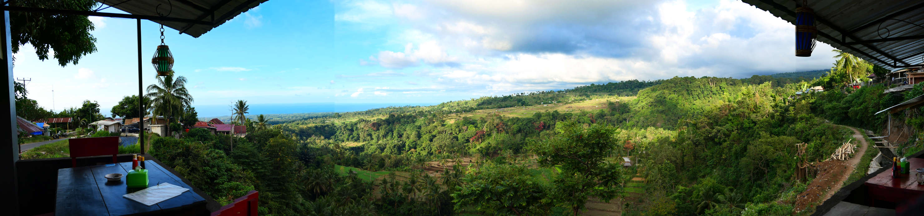
Panorama view from a local restaurant (warung) deck. Senaru, Indonesia (Lombok).

View from Senaru restaurant deck. Senaru, Indonesia (Lombok).
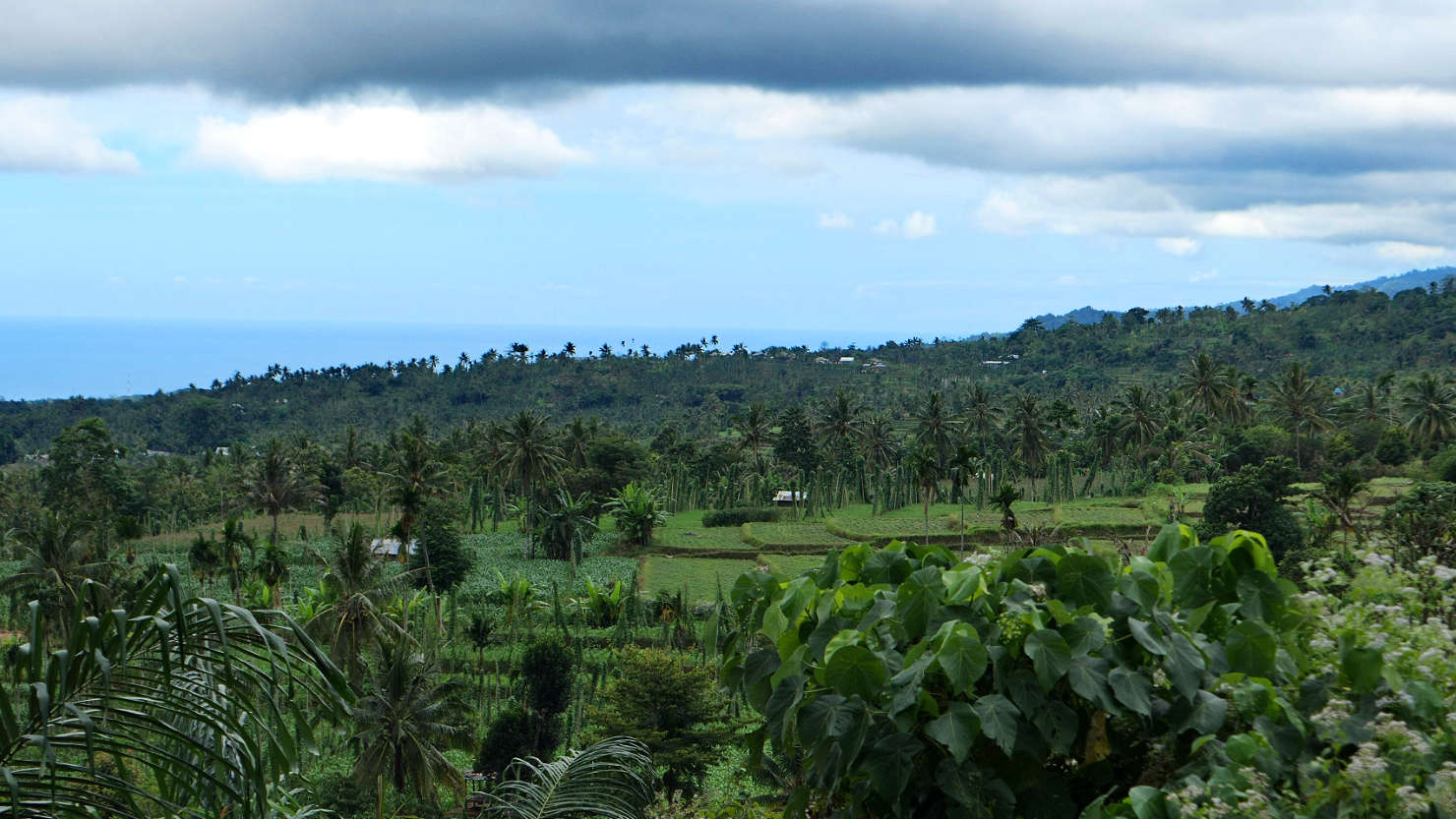
Rice fields with the ocean in the distance. Senaru, Indonesia (Lombok).
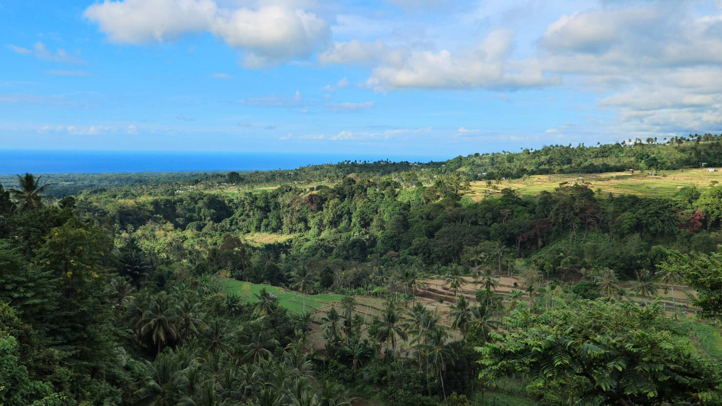
View from Senaru restaurant deck. Senaru, Indonesia (Lombok).
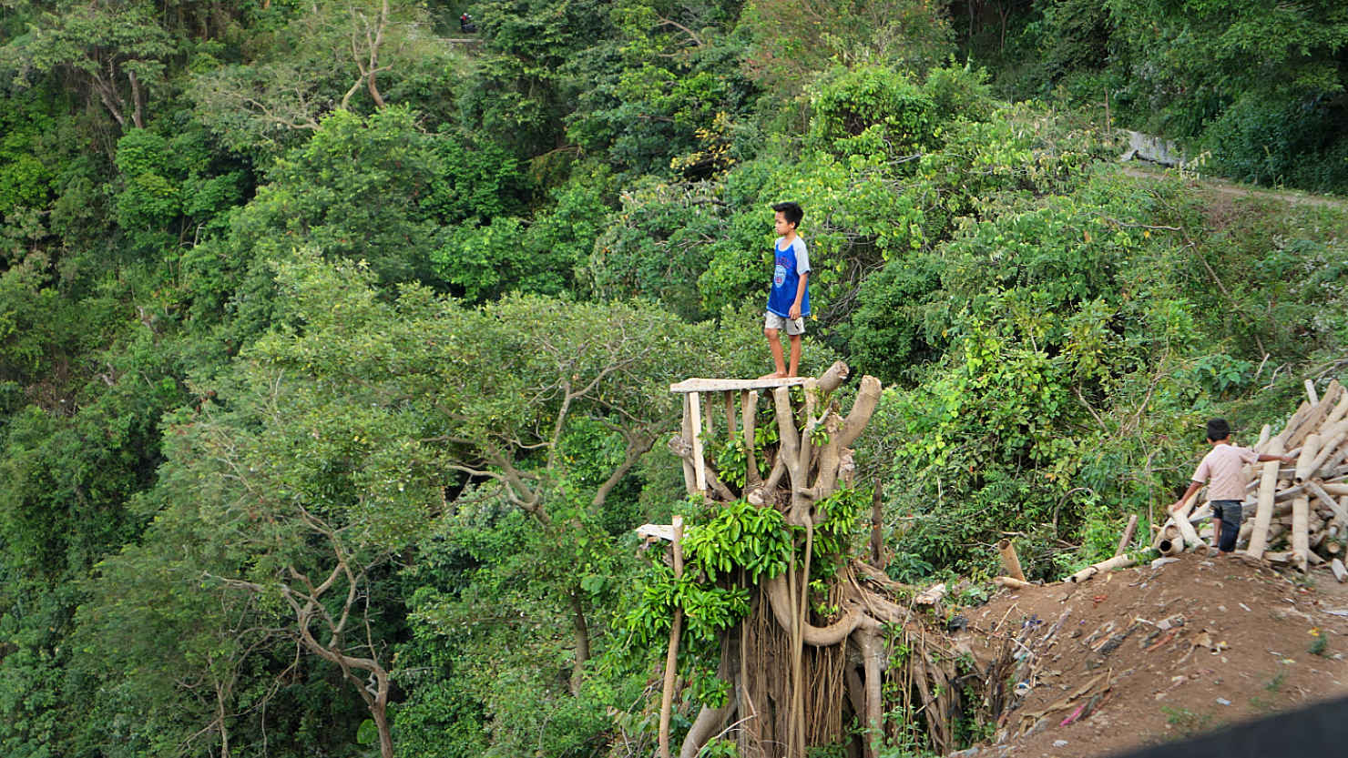
Kid standing on top of a tree stump overlooking a very large drop off. Senaru, Indonesia (Lombok).
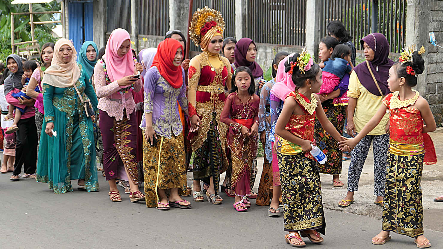
Bride during a traditional wedding ceremony. Senaru, Indonesia (Lombok).

Local traditional wedding ceremony. Note the size of the sound system. They are pulling this uphill on the main street. Senaru, Indonesia (Lombok).

Local traditional wedding ceremony. This whole parade of people move along the very narrow main street. Senaru, Indonesia (Lombok).
Senaru (Lombok)
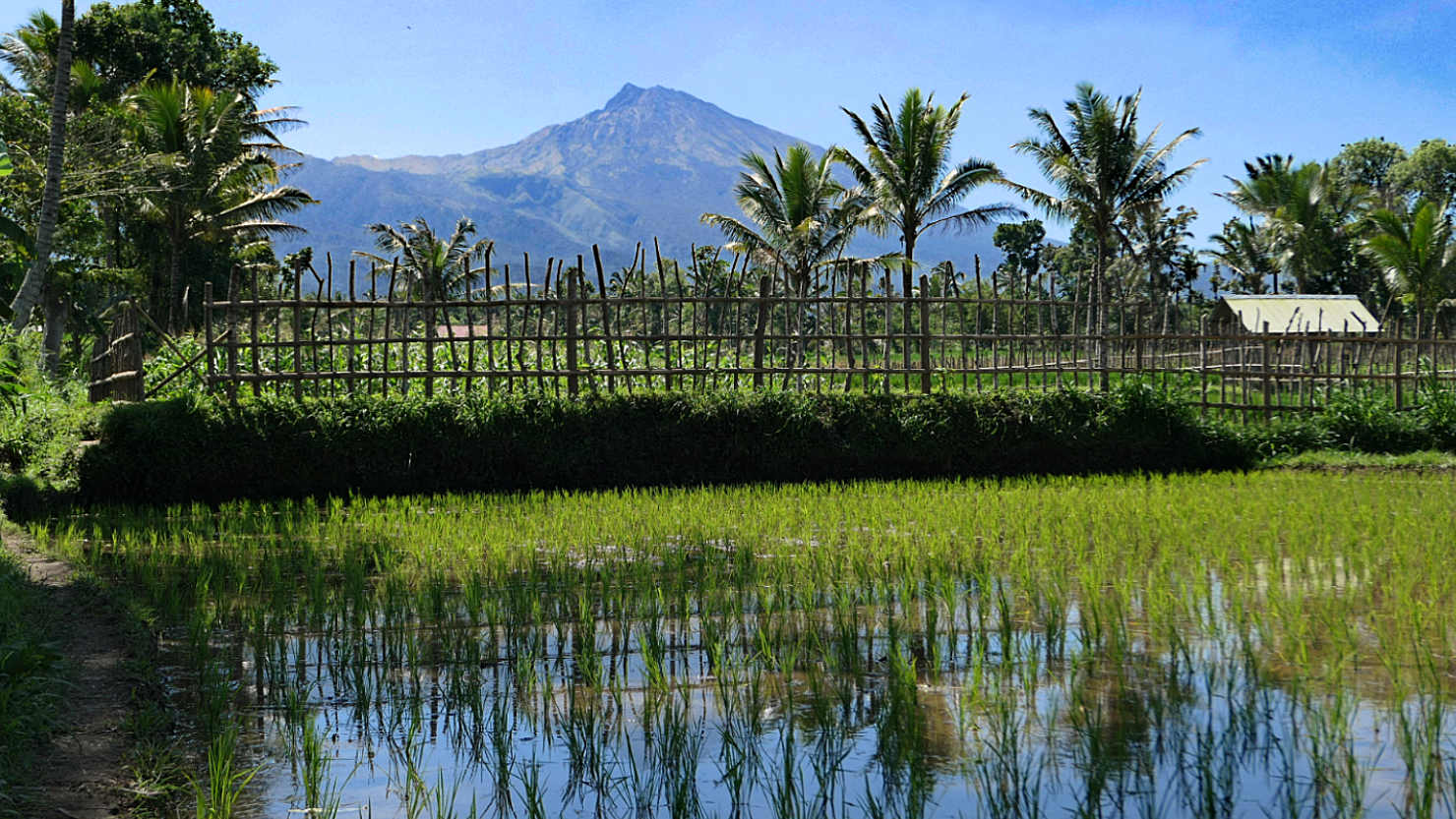
Tetebatu, Indonesia (Lombok)

Close-up view of Mt Rinjani and rice fields. Tetebatu, Indonesia (Lombok).
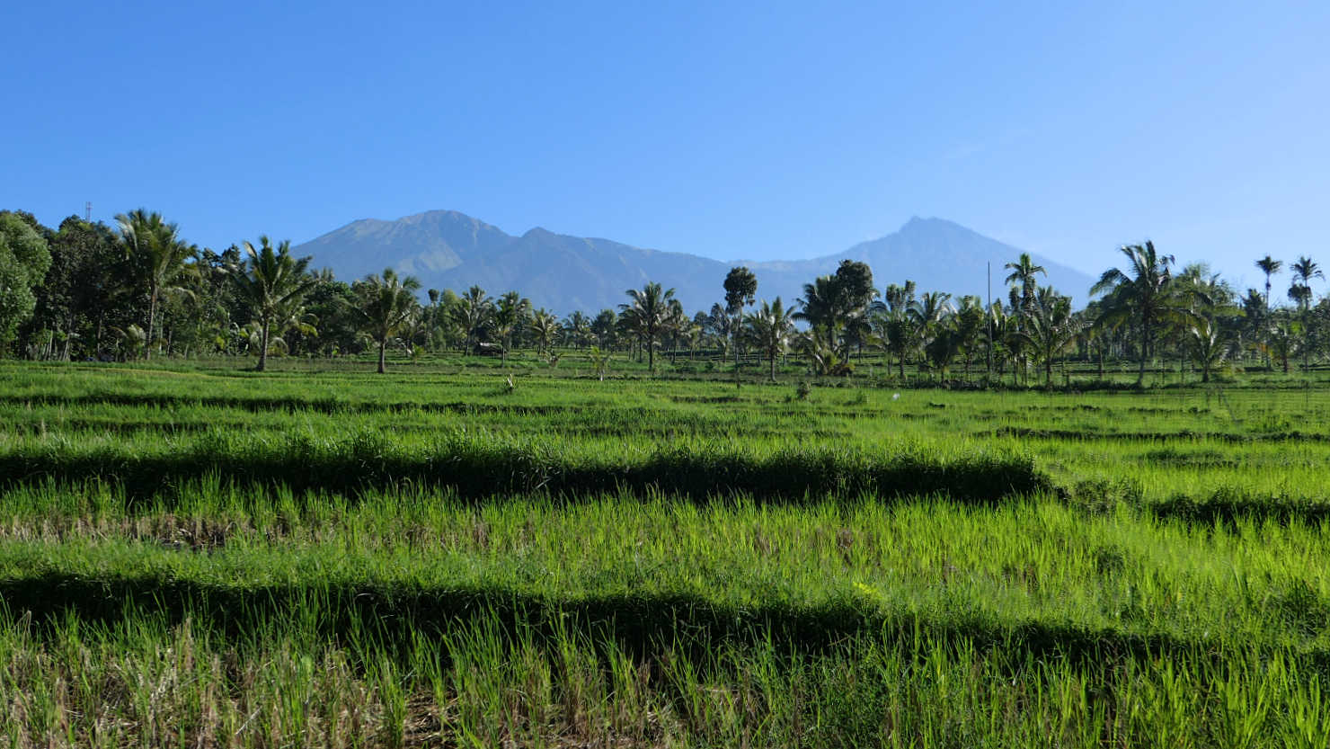
Mt Rinjani and rice fields from our afternoon trek. Tetebatu, Indonesia (Lombok).

Rick and Alisa in front of one of the worker's break shacks. Tetebatu, Indonesia (Lombok).

Terraced rice fields seen while on our trek. Tetebatu, Indonesia (Lombok).

Mt Rinjani and rice fields from our afternoon trek. Tetebatu, Indonesia (Lombok).

Closer view of Mt Rinjani and rice fields from our afternoon trek. Tetebatu, Indonesia (Lombok).
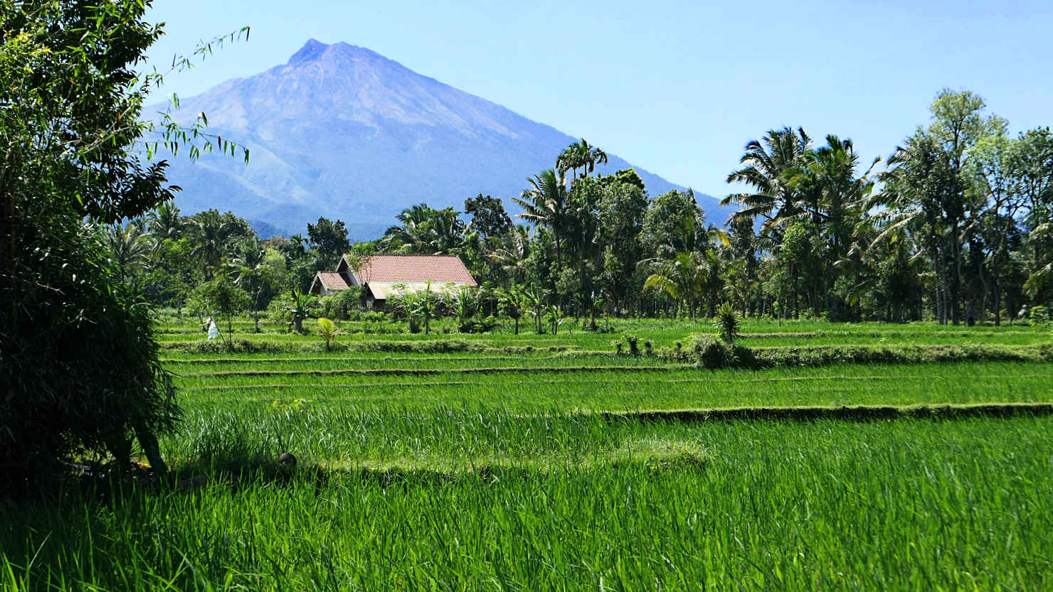
Mt Rinjani and rice fields. Tetebatu, Indonesia (Lombok).
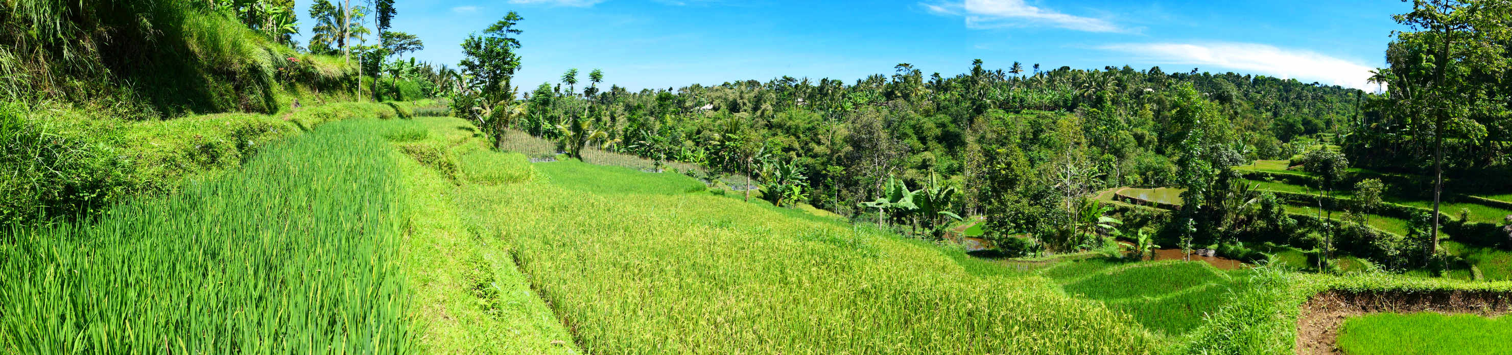
Panorama of terraced rice fields. Tetebatu, Indonesia (Lombok).
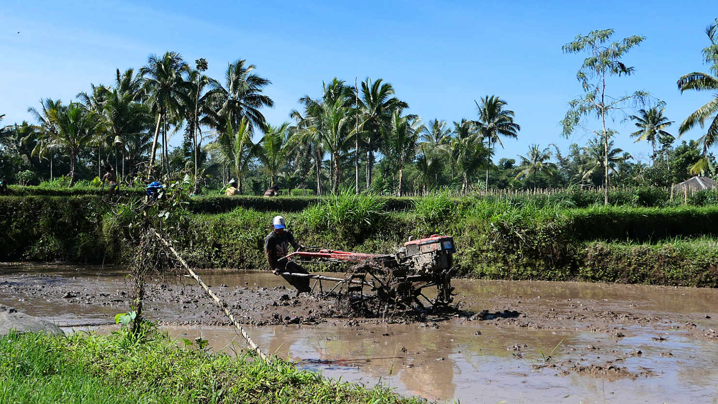
Prepping the field for the next rice planting. Tetebatu, Indonesia (Lombok).

Women planting rice "starts" in a field. Tetebatu, Indonesia (Lombok).
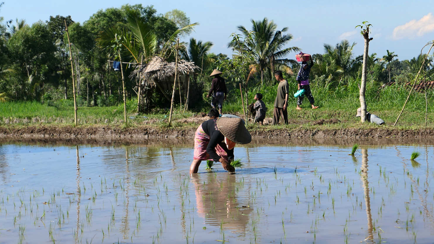
Woman planting rice "starts" in a field. Tetebatu, Indonesia (Lombok).

Alisa stepping into very soft "calf high" deep mud to help the local women plant rice "starts". Tetebatu, Indonesia (Lombok).

Alisa planting rice "starts" with the locals. Tetebatu, Indonesia (Lombok).

Alisa planting rice "starts" with the locals. Tetebatu, Indonesia (Lombok).
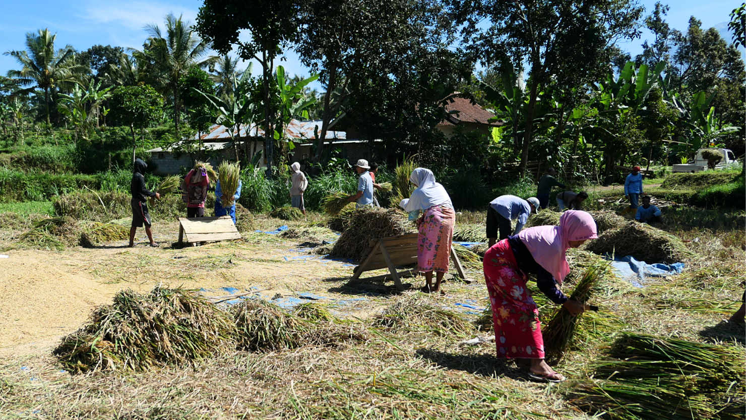
Locals harvesting rice. Tetebatu, Indonesia (Lombok).
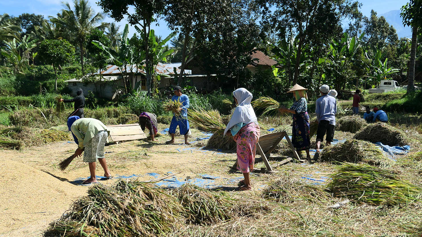
Locals harvesting rice. Tetebatu, Indonesia (Lombok)
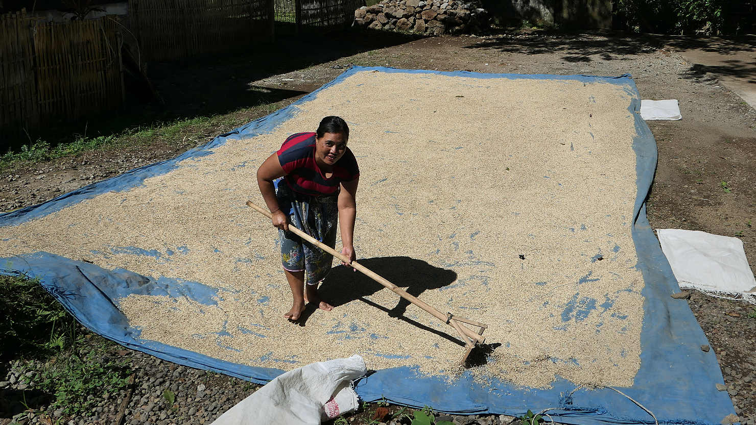
Local woman raking rice as it's drying in the sun. Tetebatu, Indonesia (Lombok).
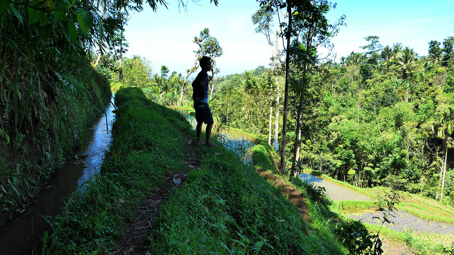
Our local guide, Angga, on our hike through rice fields. He's standing on a section of the trail. Tetebatu, Indonesia (Lombok).
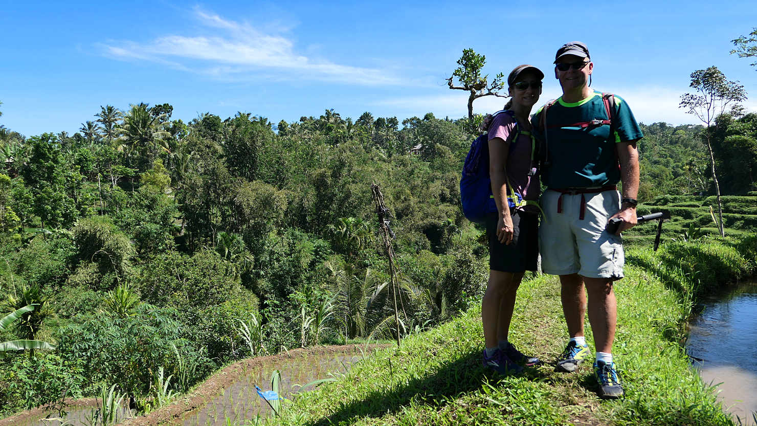
Rick and Alisa hiking through the terraced rice fields. Tetebatu, Indonesia (Lombok).
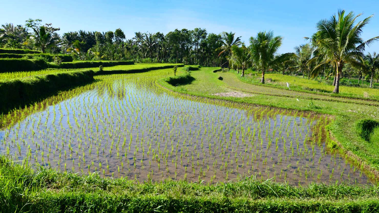
Newly planted rice fields. Tetebatu, Indonesia (Lombok).

Hiking through the rice terraces. Tetebatu, Indonesia (Lombok).
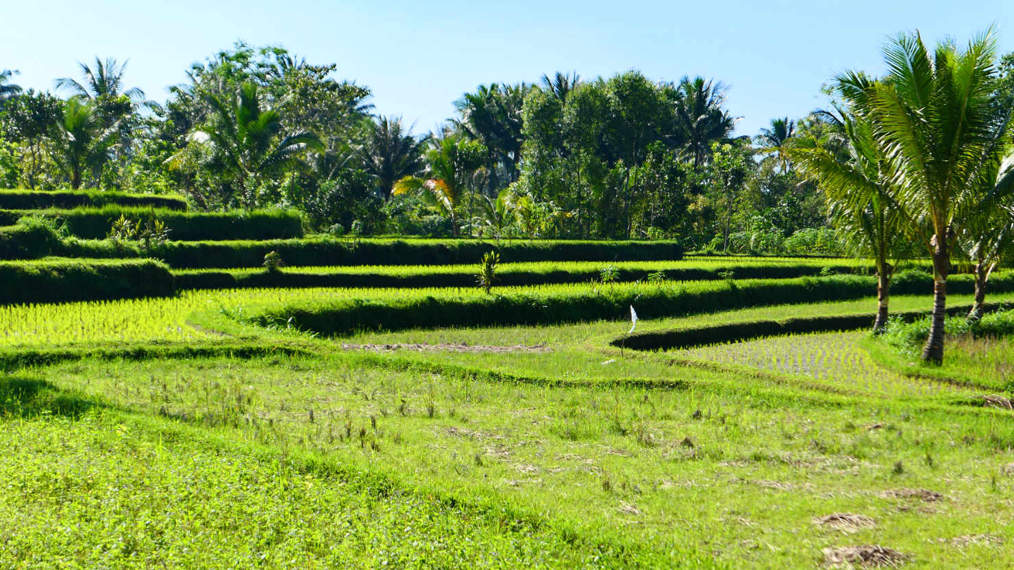
Hiking through the terraced rice fields. Tetebatu, Indonesia (Lombok).

Hiking through the terraced rice fields. Mt Rinjani in the distance. Tetebatu, Indonesia (Lombok).
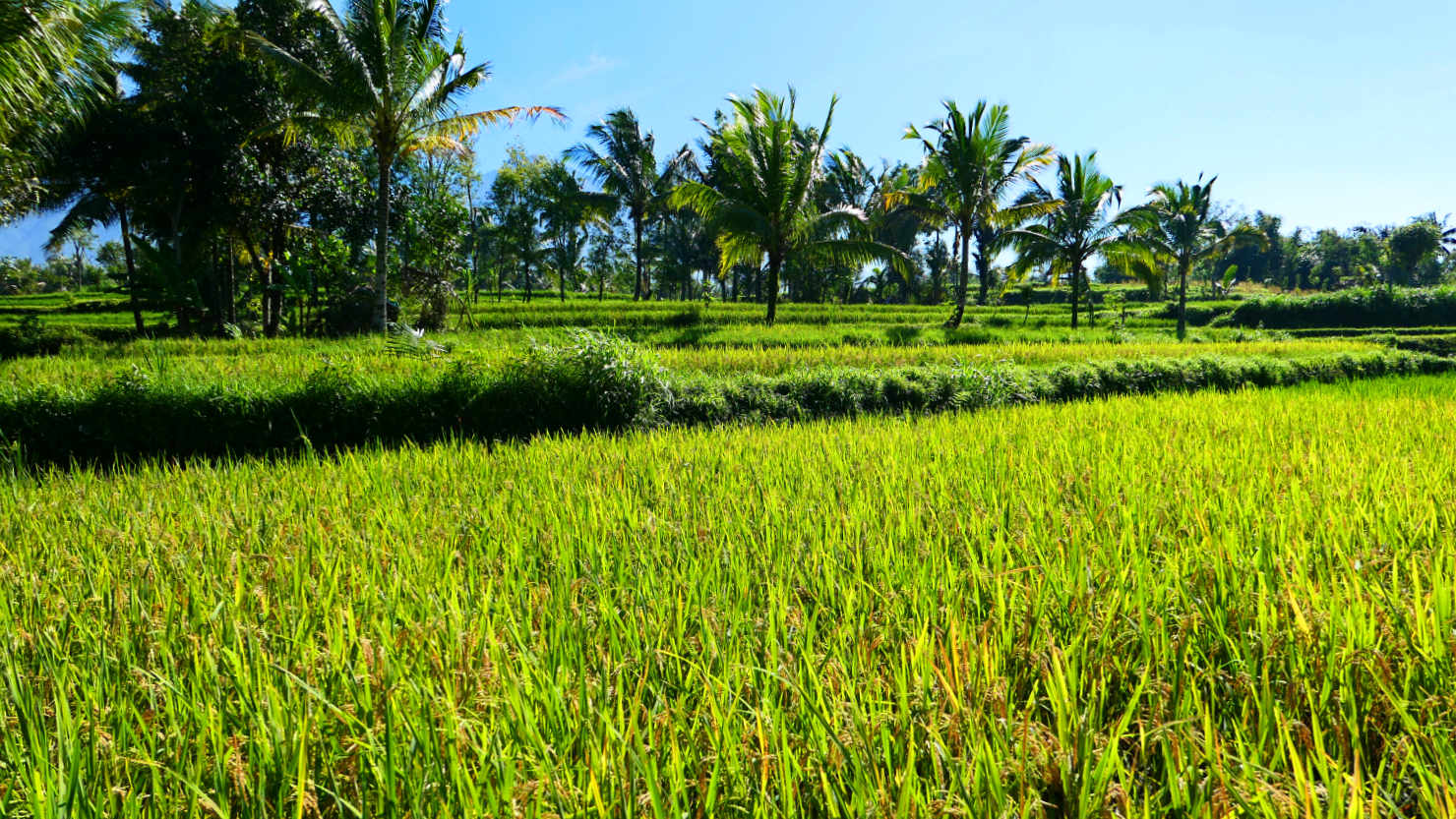
Rice fields. Tetebatu, Indonesia (Lombok).

Rick hiking through the rice fields. Tetebatu, Indonesia (Lombok).
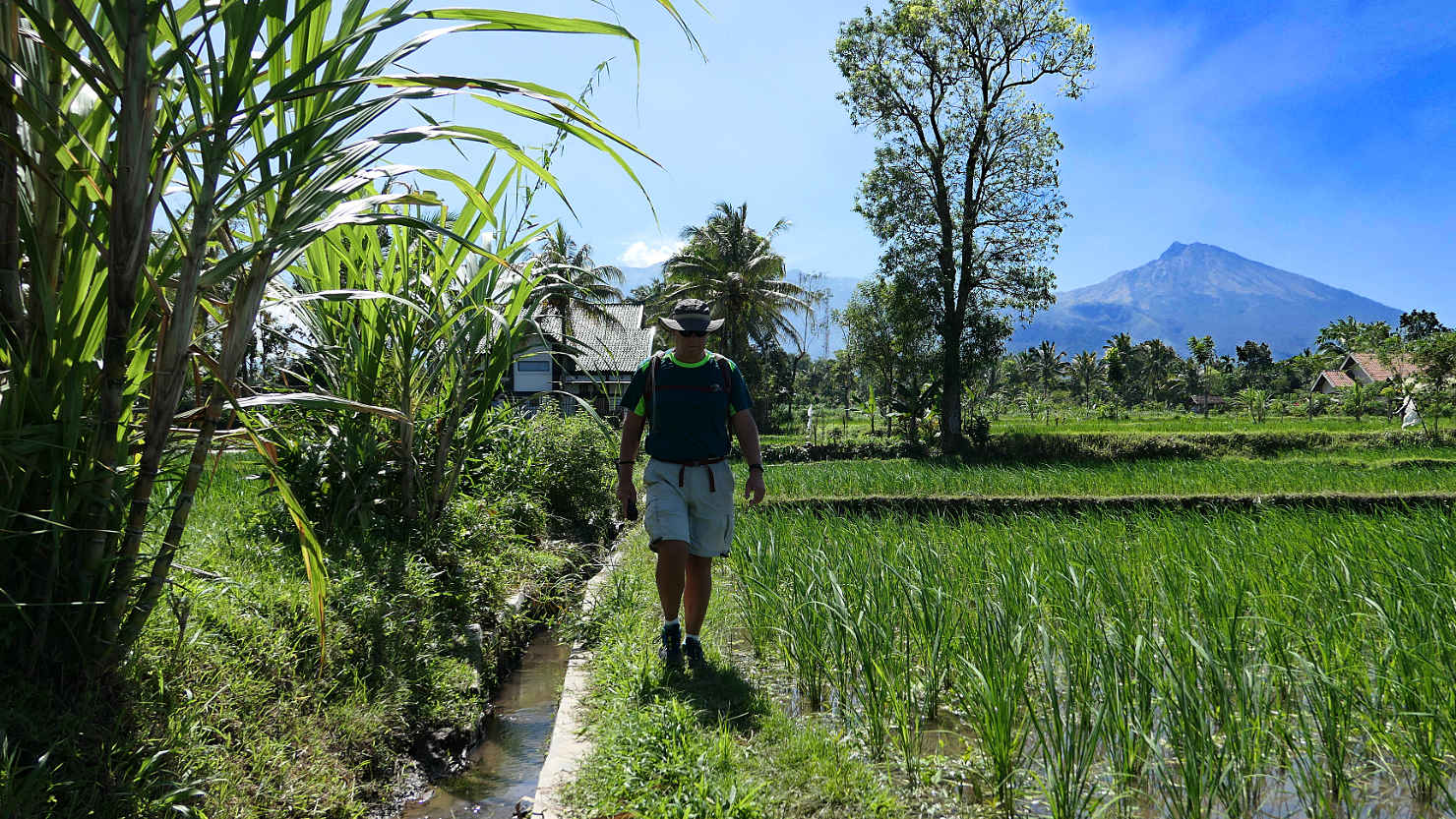
Closer view of Rick hiking through the rice fields. Tetebatu, Indonesia (Lombok).
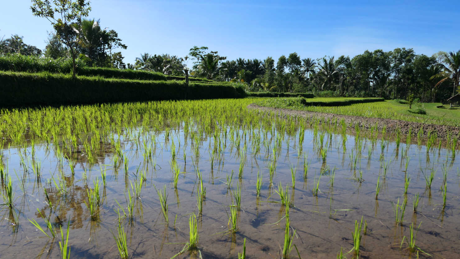
Newly planted rice "starts". Tetebatu, Indonesia (Lombok).

Local women planting terraced rice fields. Tetebatu, Indonesia (Lombok).
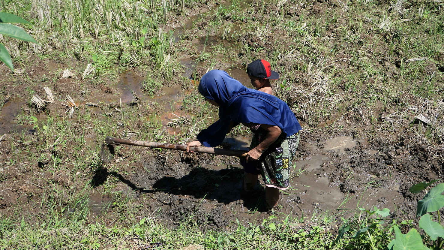
Woman and child digging for eels. They hunt for the eels in the fields following each rice harvest. Tetebatu, Indonesia (Lombok).
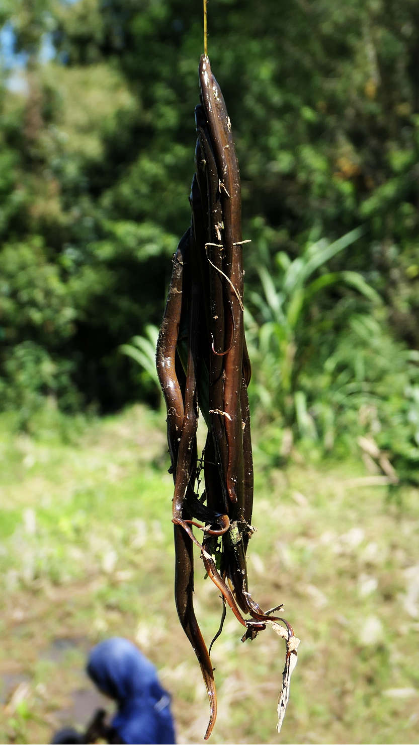
Eels caught by locals in the already harvested rice fields. This will be their dinner. Tetebatu, Indonesia (Lombok).

Woman balancing a large bundle of rice on her head. Locals carry pretty much everything on their heads. Tetebatu, Indonesia (Lombok).

Local kids catching crickets. Tetebatu, Indonesia (Lombok).
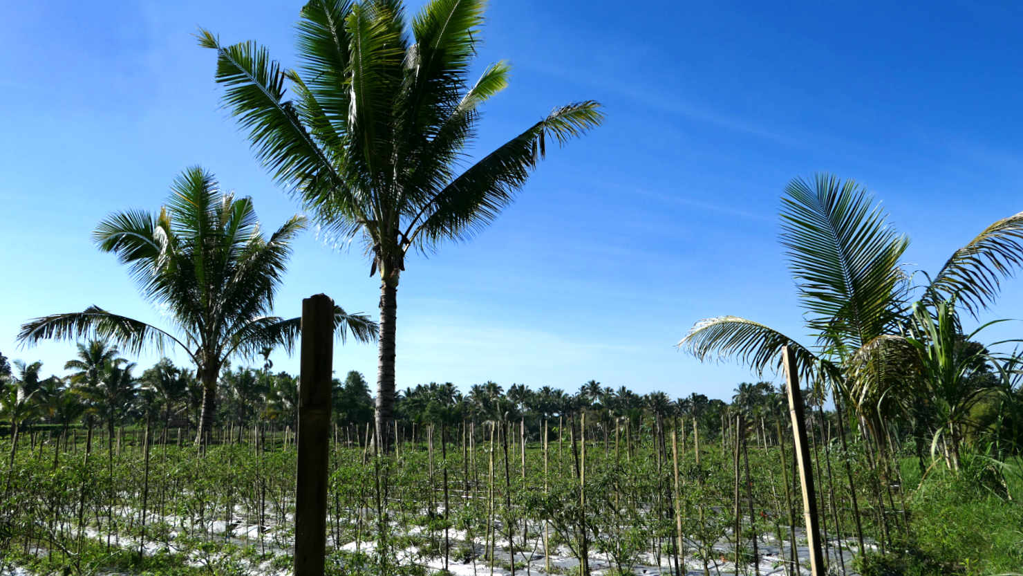
Chile plant fields. There were many of these intermixed among the rice fields. Tetebatu, Indonesia (Lombok).

Local boys swimming at the Koko Duren Waterfall. Tetebatu, Indonesia (Lombok).

Our guide, Angga, getting ready to cross the bamboo bridge. Tetebatu, Indonesia (Lombok).
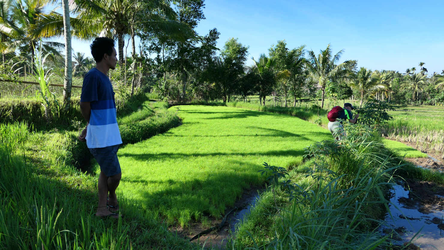
Our guide, Angga. Tetebatu, Indonesia (Lombok).
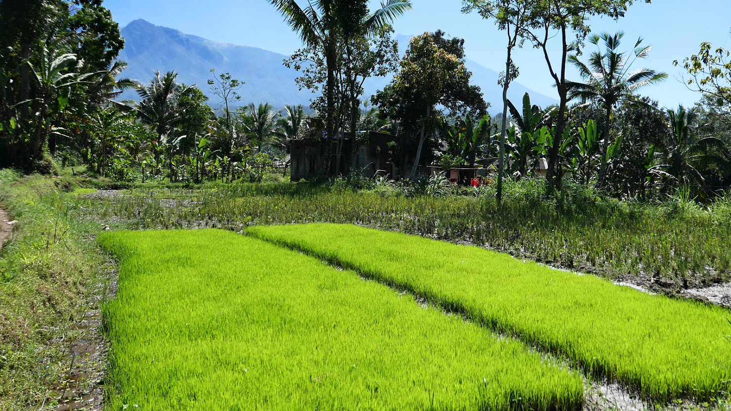
This is how they start their rice plants. They plant seed in a small area and then transplant them to the larger fields. Tetebatu, Indonesia (Lombok).

Newly planted rice field with Mt Rinjani in the background (right side). Tetebatu, Indonesia (Lombok).
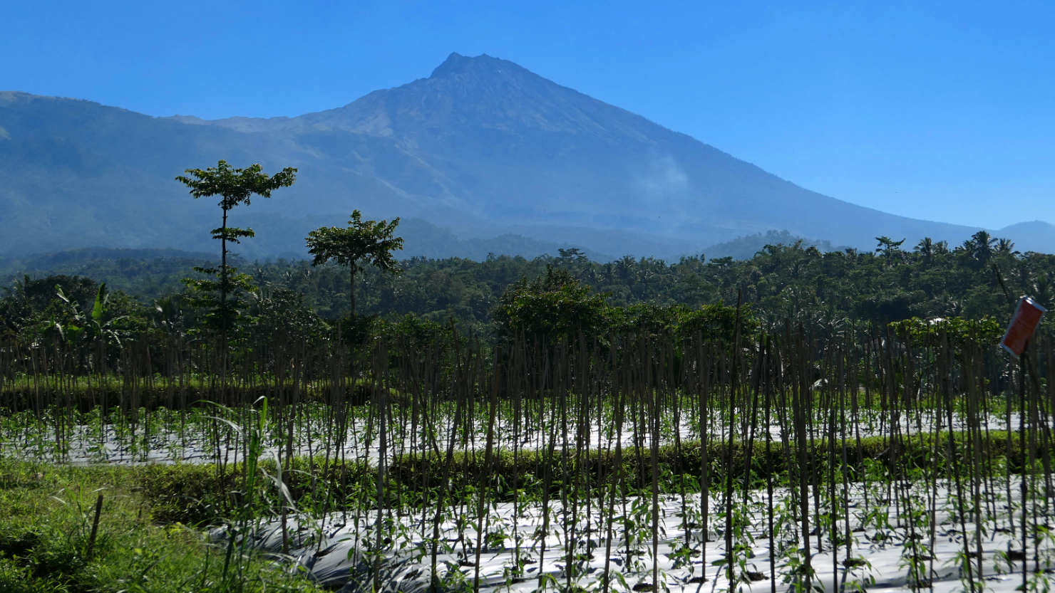
Chili plants with Mt Rinjani in the distance. Tetebatu, Indonesia (Lombok).
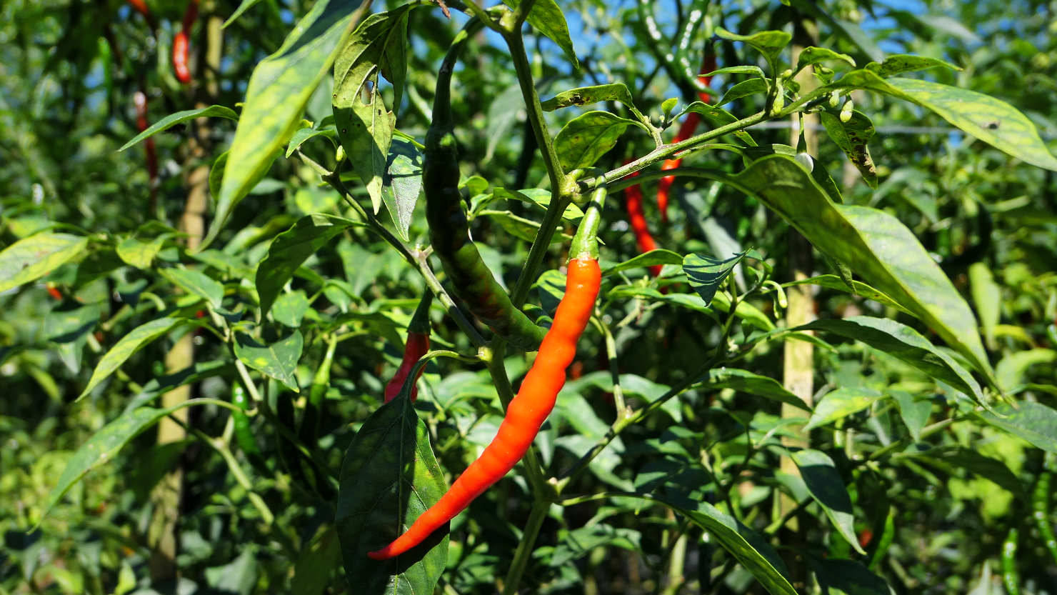
Close-up of one of the chile plants. These are the very hot ones. Tetebatu, Indonesia (Lombok).
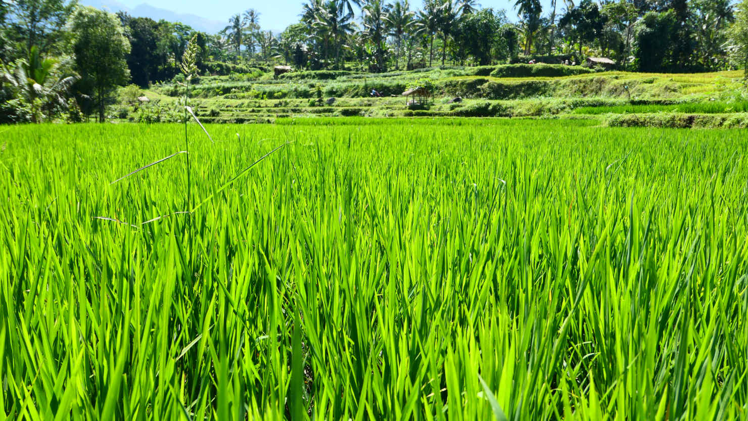
Close-up of one of the rice fields. Tetebatu, Indonesia (Lombok).

Puppy from one of the local farms coming out to check things out. Tetebatu, Indonesia (Lombok).
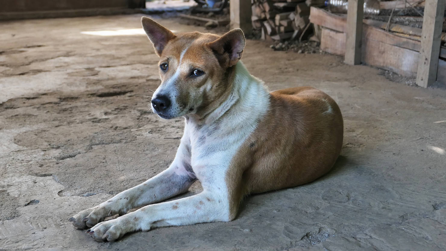
Local dog hanging out at the village "coffee house". Tetebatu, Indonesia (Lombok).

Cacao pods. The village "coffee house" mixes this with their coffee beans for a very nice blend of coffee. Tetebatu, Indonesia (Lombok).

Close-up of bright pink flowers along our rice field trek. Tetebatu, Indonesia (Lombok).
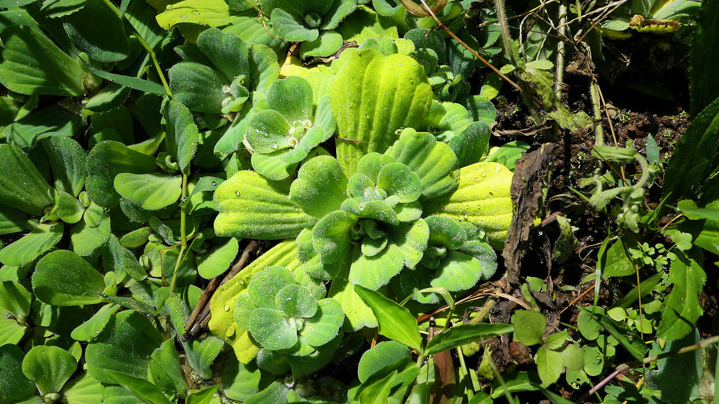
Invasive lily pad type plants which grow in the fields between plantings. Tetebatu, Indonesia (Lombok).

One of the many cow houses. Tetebatu, Indonesia (Lombok).

Weaver's village street scene. Tetebatu, Indonesia (Lombok).
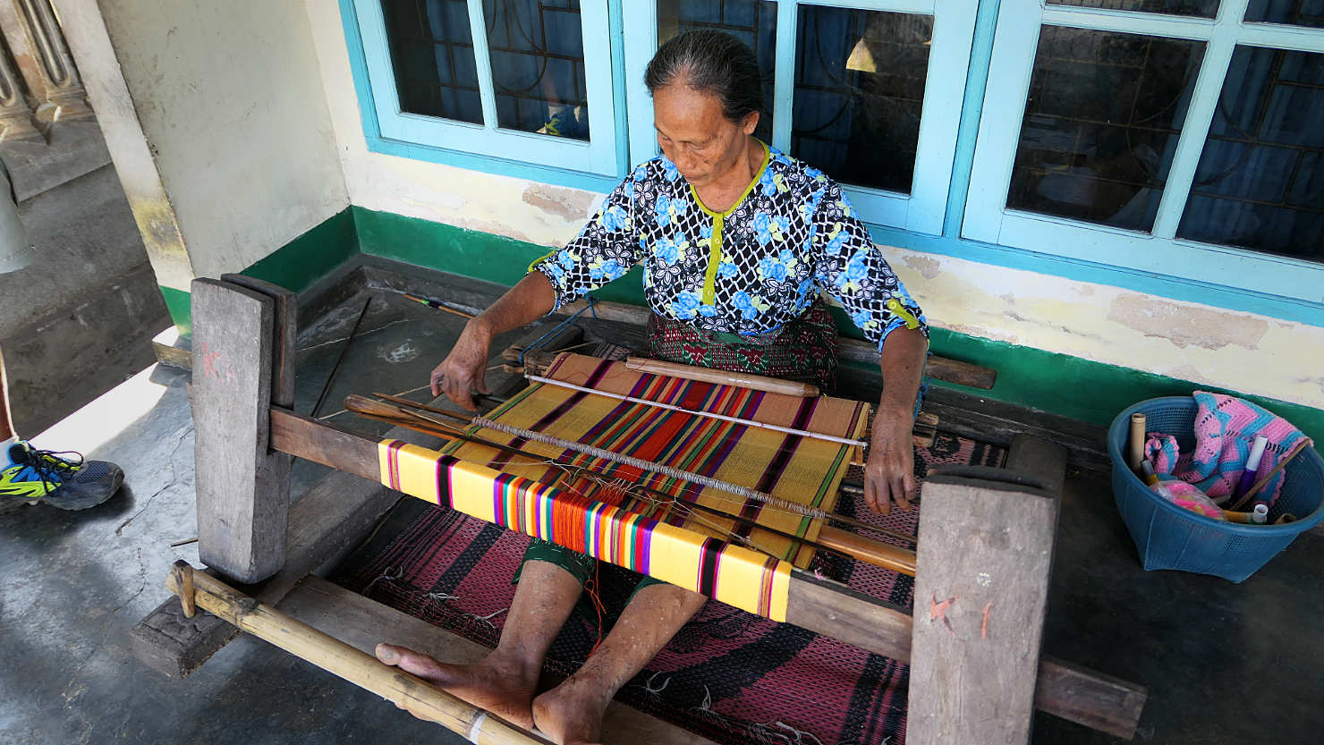
Local woman weaving on a loom. Tetebatu, Indonesia (Lombok).
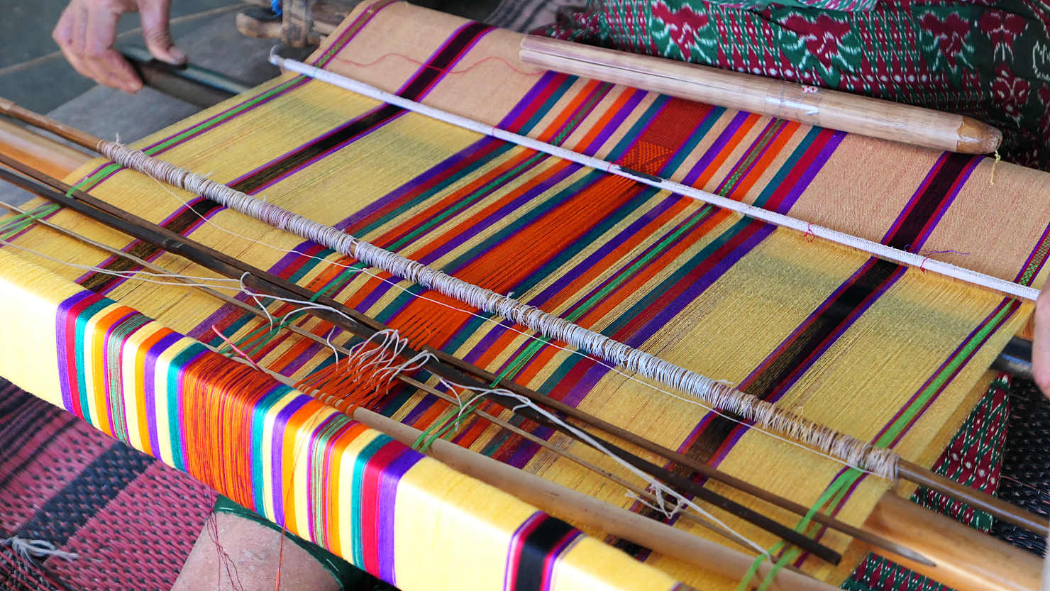
Close-up of woman weaving on her loom. Tetebatu, Indonesia (Lombok).

Local bamboo basket weavers. Tetebatu, Indonesia (Lombok).
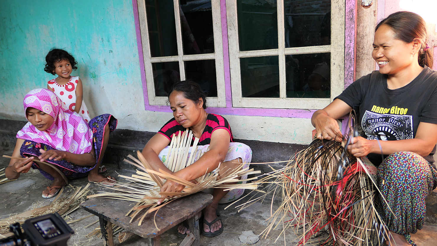
Local bamboo basket weavers. Tetebatu, Indonesia (Lombok).
Tetebatu (Lombok)
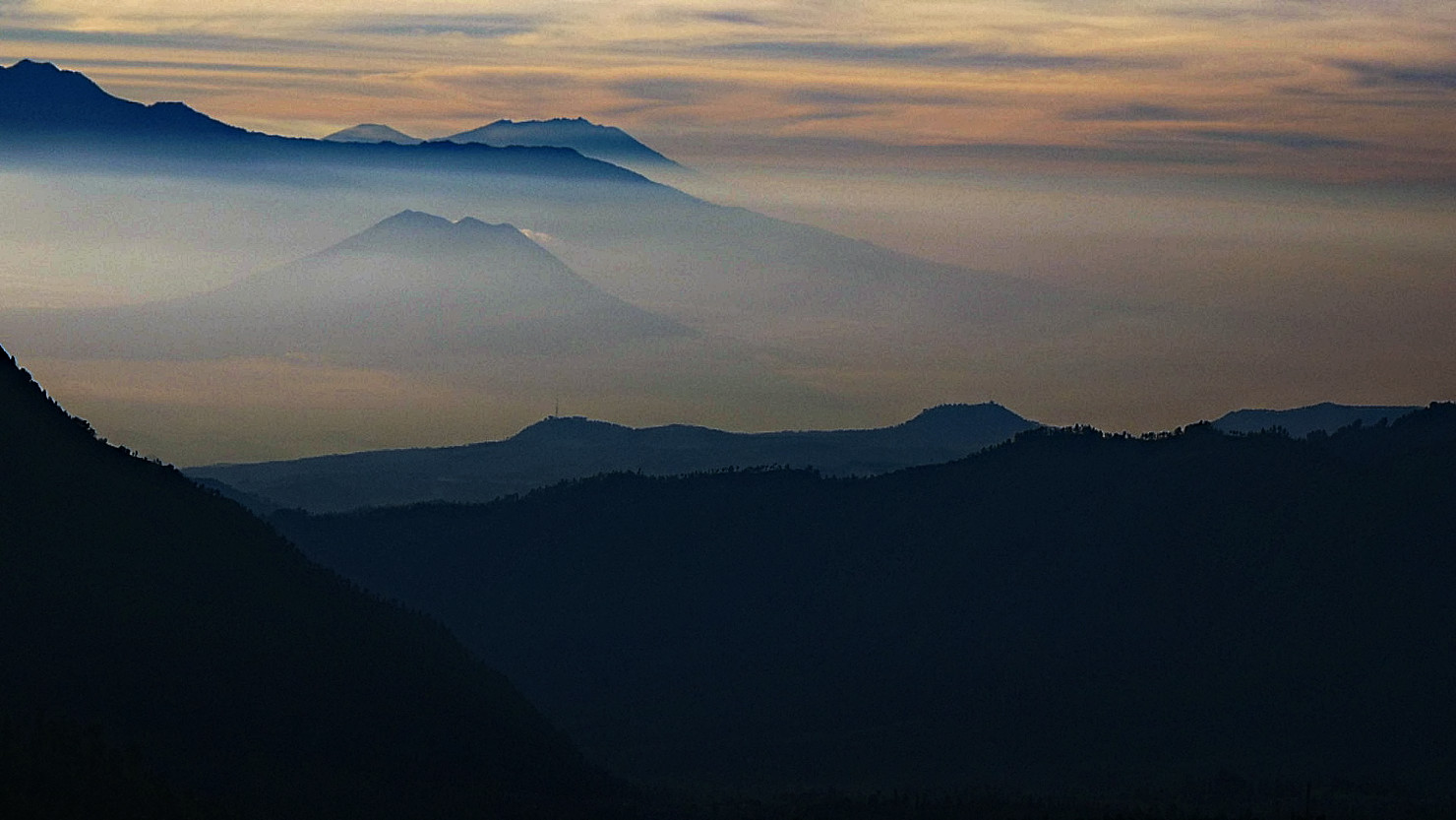
Mt Bromo, Indonesia (Java)
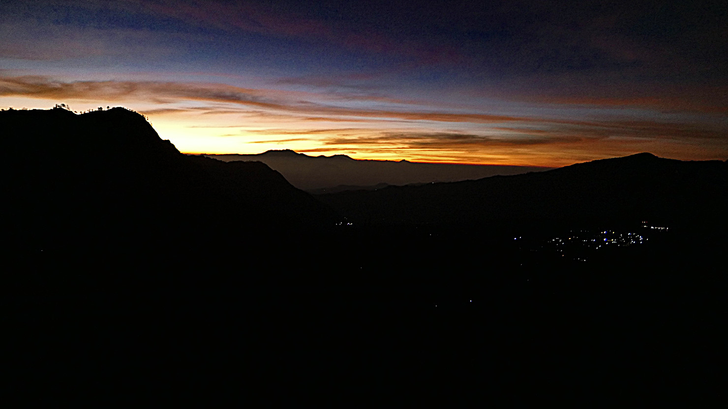
Lights of Cemoro Lawang before sunrise. Mt Bromo, Indonesia (Java).
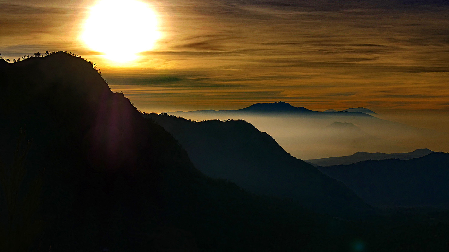
Sunrise looking east. Mt Bromo, Indonesia (Java).

Sunrise from inside the viewpoint shelter. Mt Bromo, Indonesia (Java).

The sun beginning to light the Tengger Massif. Mt Bromo, Indonesia (Java).
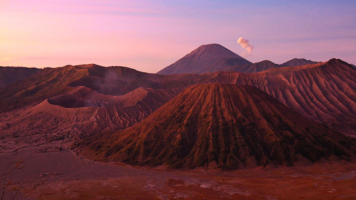
The sun beginning to light the Bromo Complex. Mt Bromo, Indonesia (Java).

Close-up of the Bromo Crater at sunrise. Mt Bromo, Indonesia (Java).
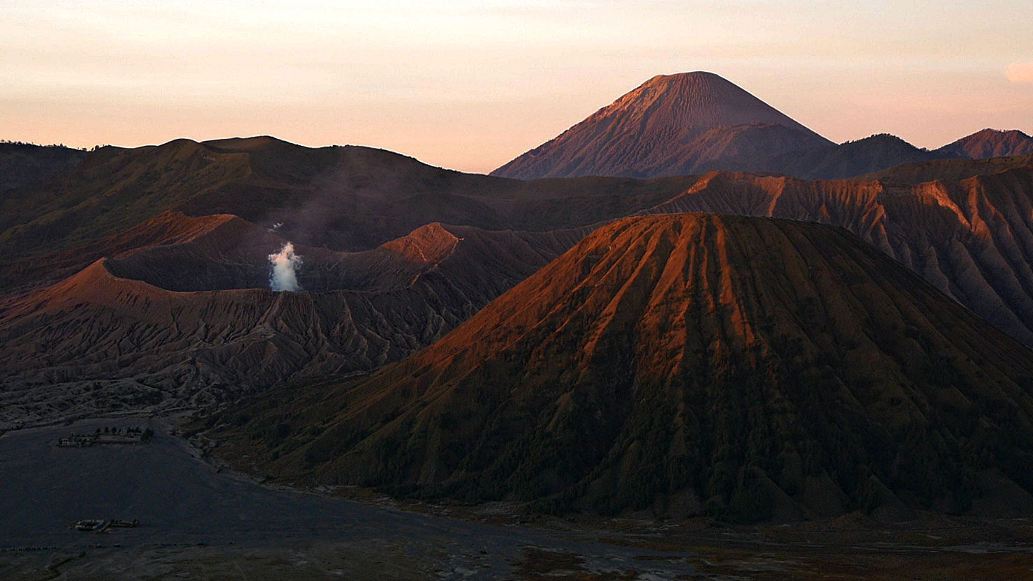
Bromo crater at sunrise. Mt Bromo, Indonesia (Java).
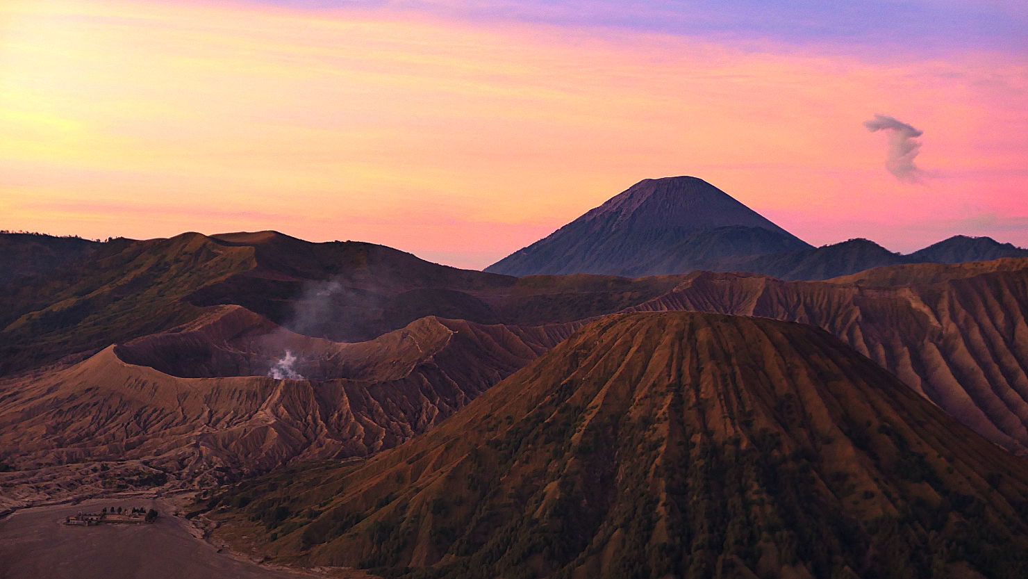
Tengger Massif at sunrise. Mt Bromo, Indonesia (Java).

Tengger Massif and Sea of Sand at sunrise. Mt Bromo, Indonesia (Java).
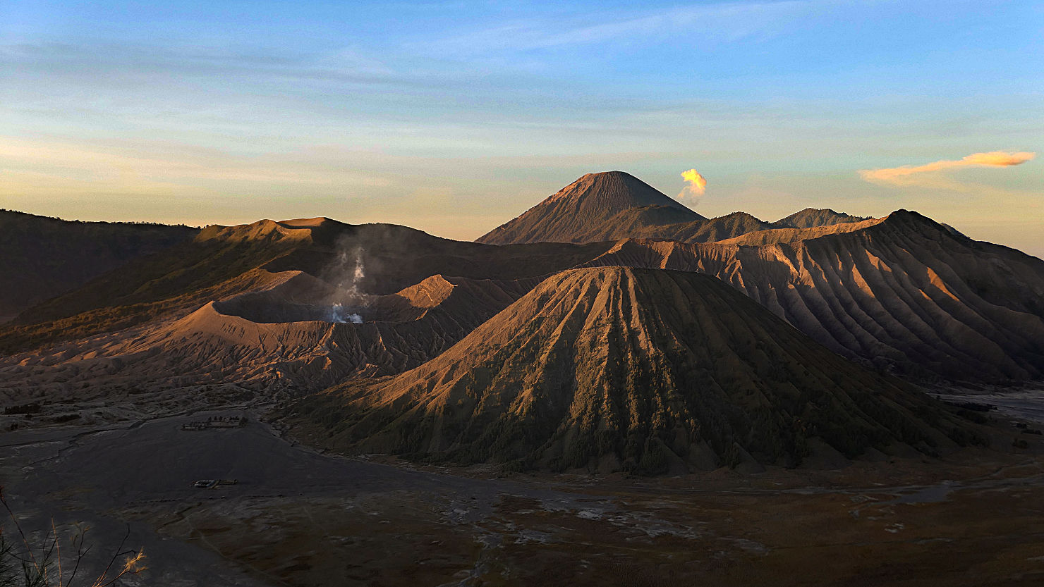
Tengger Massif at sunrise. Mt Bromo, Indonesia (Java).
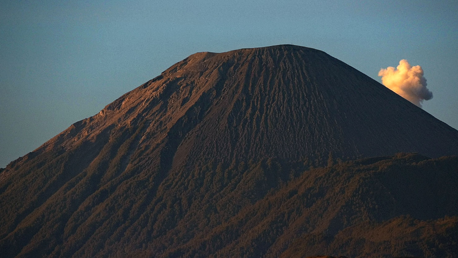
Mt Semeru at sunrise. Note the steam cloud coming from the active volcano behind. Mt Bromo, Indonesia (Java).

Sea of Sand and the SouthWest caldera. Mt Bromo, Indonesia (Java).
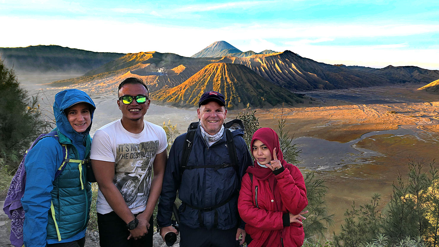
Rick and Alisa with a young couple from Jakarta. The couple wanted a photo with us. Mt Bromo, Indonesia (Java).

Rick and Alisa with a group from Jakarta. They all wanted a photo with us. Mt Bromo, Indonesia (Java).
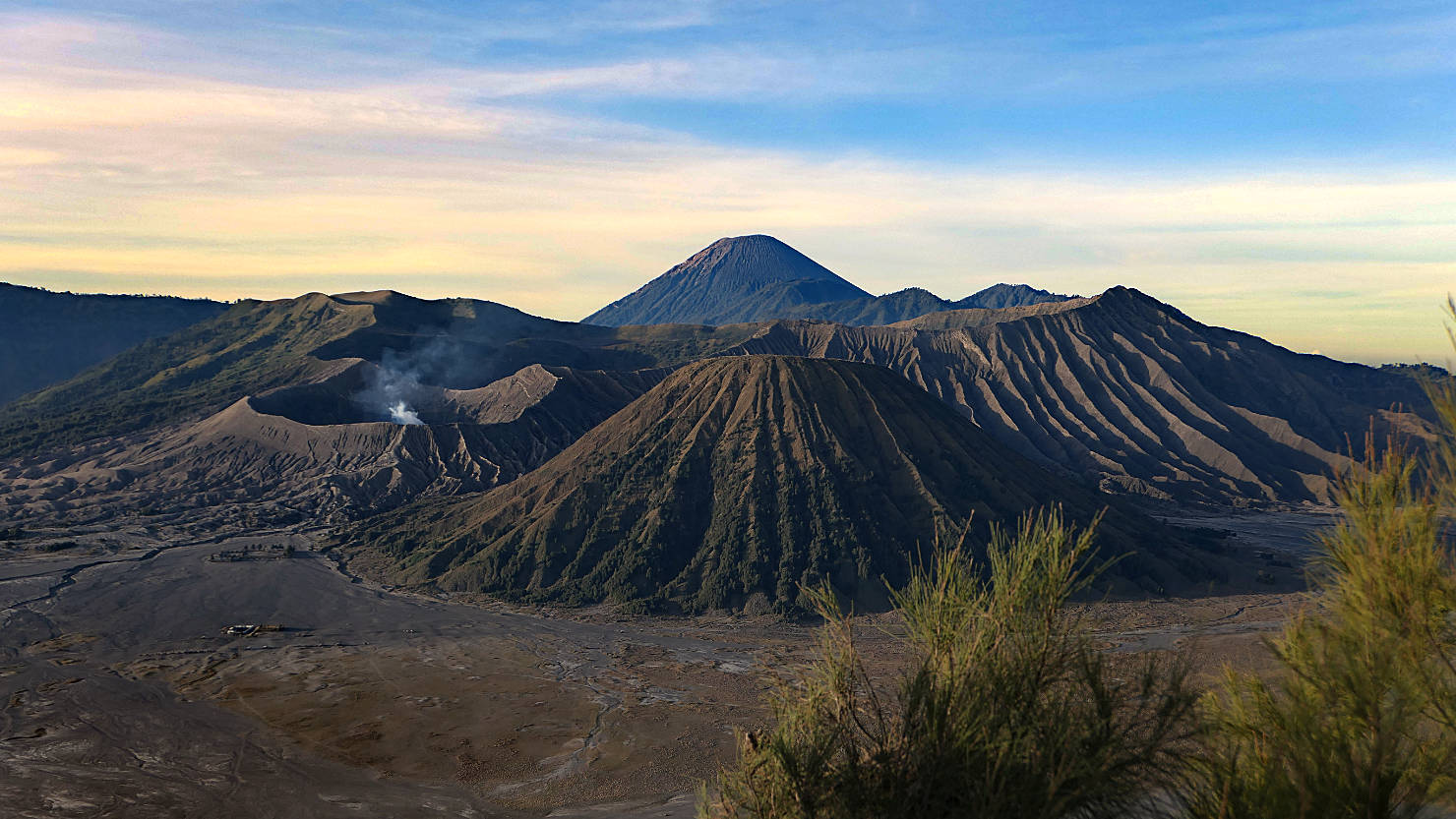
Tengger Massif after sunrise. Mt Bromo, Indonesia (Java).

Rick and Alisa after sunrise. Mt Bromo, Indonesia (Java).
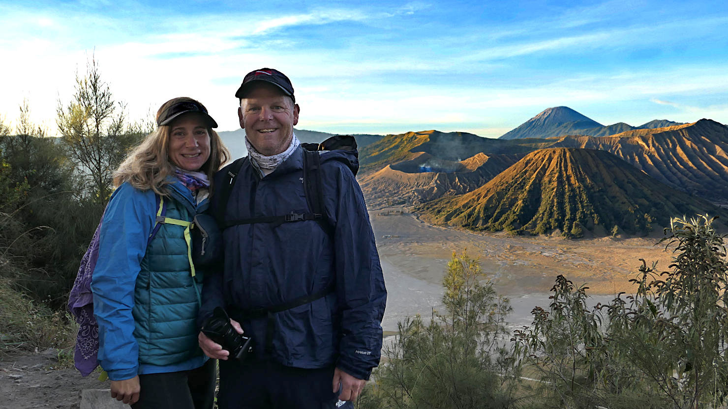
Rick and Alisa at one of the Bromo viewpoints at sunrise. Mt Bromo, Indonesia (Java).
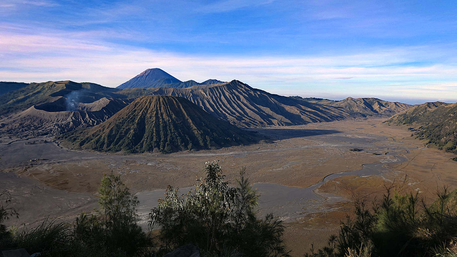
Tengger Massif and Sea of Sand after sunrise. Mt Bromo, Indonesia (Java).
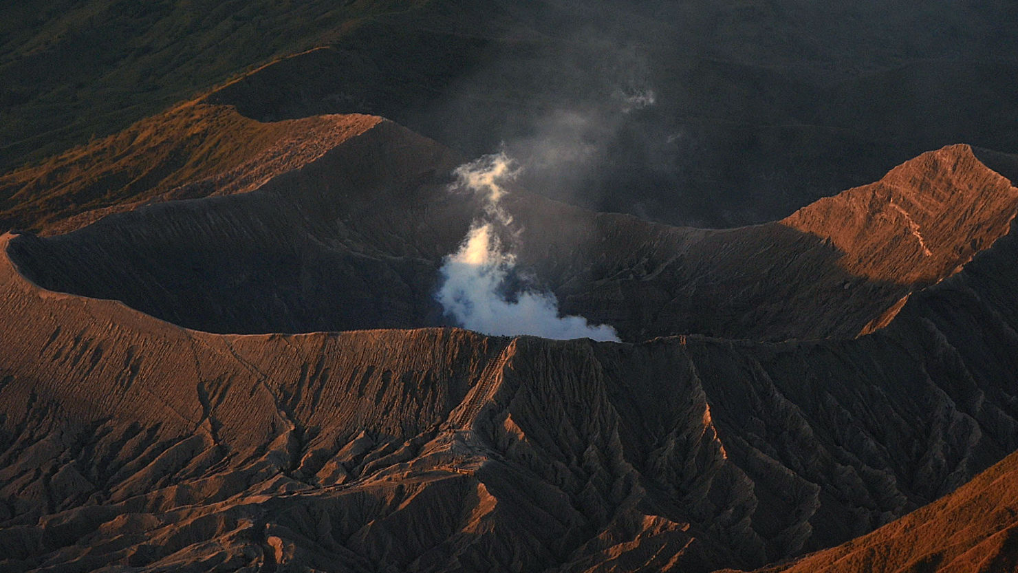
Close-up of Bromo Crater at sunrise. Note the stairs located below the steam along the outside of the crater wall. Mt Bromo, Indonesia (Java).
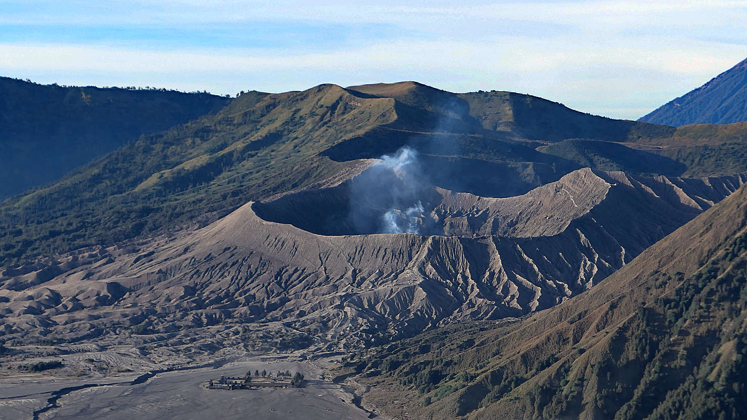
Lots of steam activity coming from the Bromo caldera. Mt Bromo, Indonesia (Java).
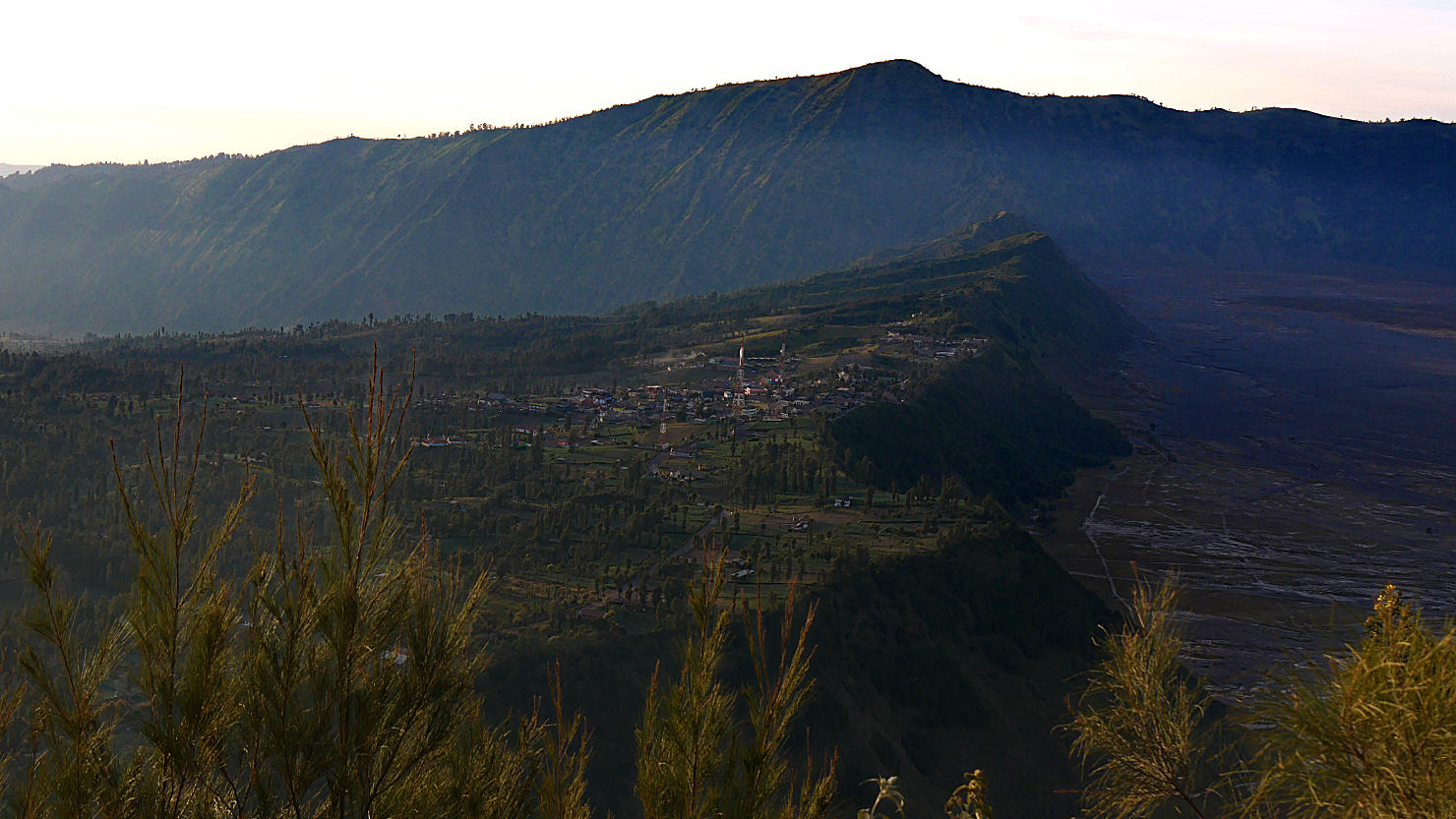
Cemoro Lawang village on the ridge and also where you stay when you visit Mt Bromo. Mt Bromo, Indonesia (Java).
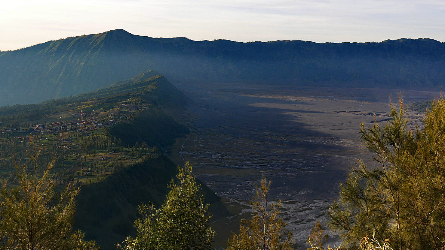
Cemoro Lawang village on the ridge. To the right below the ledge is the Sea of Sand. Mt Bromo, Indonesia (Java).
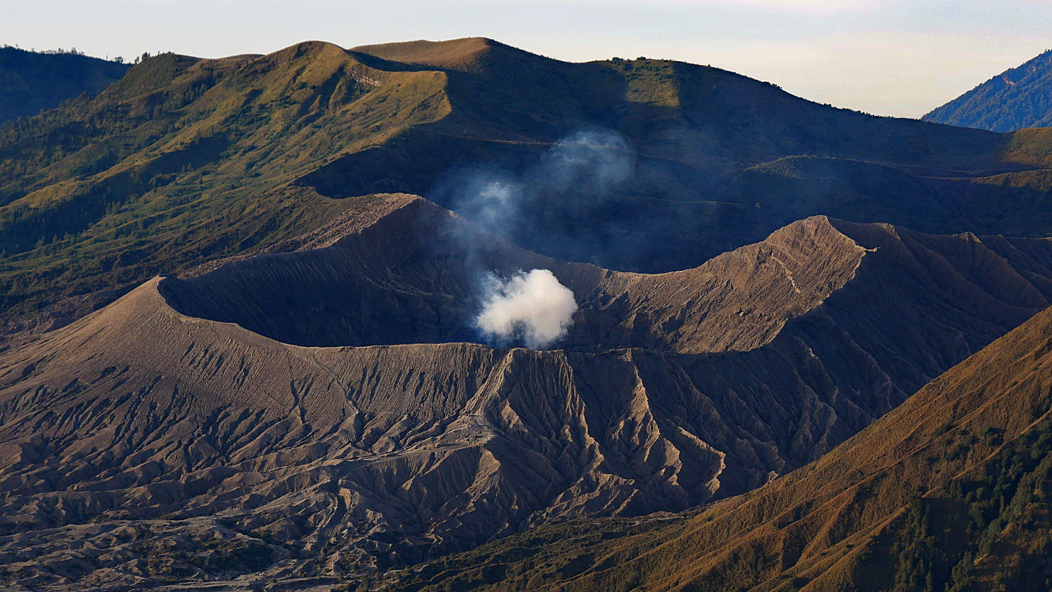
Bromo Crater after sunrise. Note the stairs located below the steam along the outside of the crater wall. Mt Bromo, Indonesia (Java).

Tengger Massif after sunrise. Mt Bromo, Indonesia (Java).

Tengger Massif after sunrise. Mt Bromo, Indonesia (Java).

Tengger Massif and Sea of Sand after sunrise. Mt Bromo, Indonesia (Java).
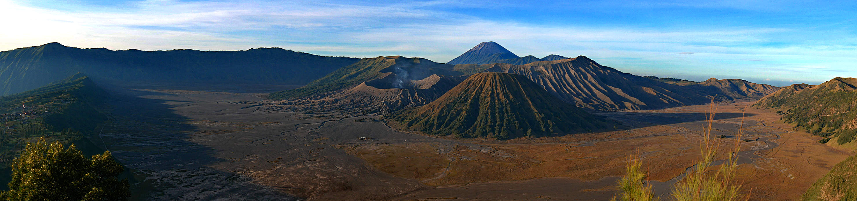
Panorama of the Tengger Massif and Sea of Sand after sunrise. Mt Bromo, Indonesia (Java).

Panorama of the Tengger Massif and Sea of Sand after sunrise. Mt Bromo, Indonesia (Java).
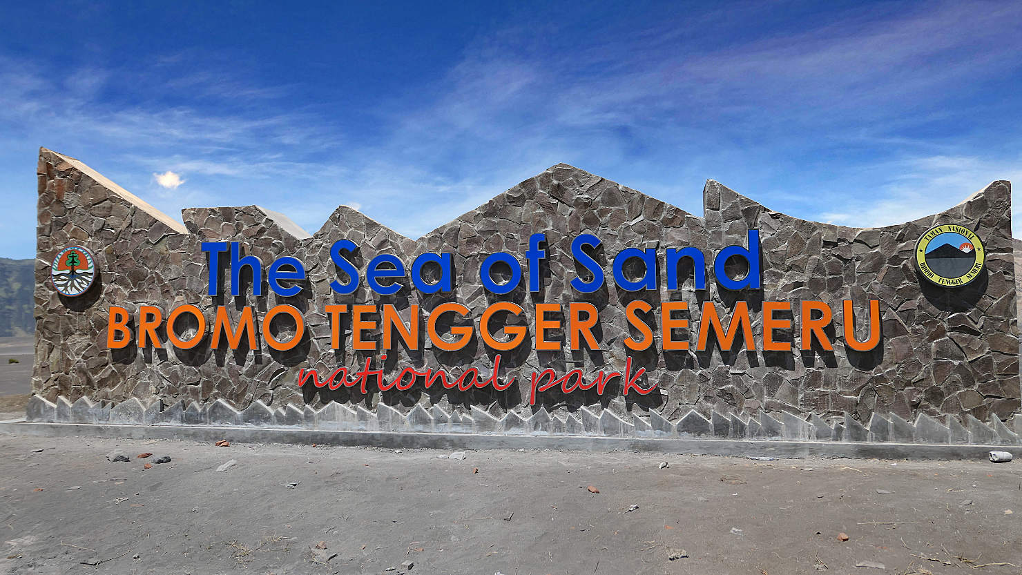
Entrance to the Sea of Sand. Mt Bromo, Indonesia (Java).
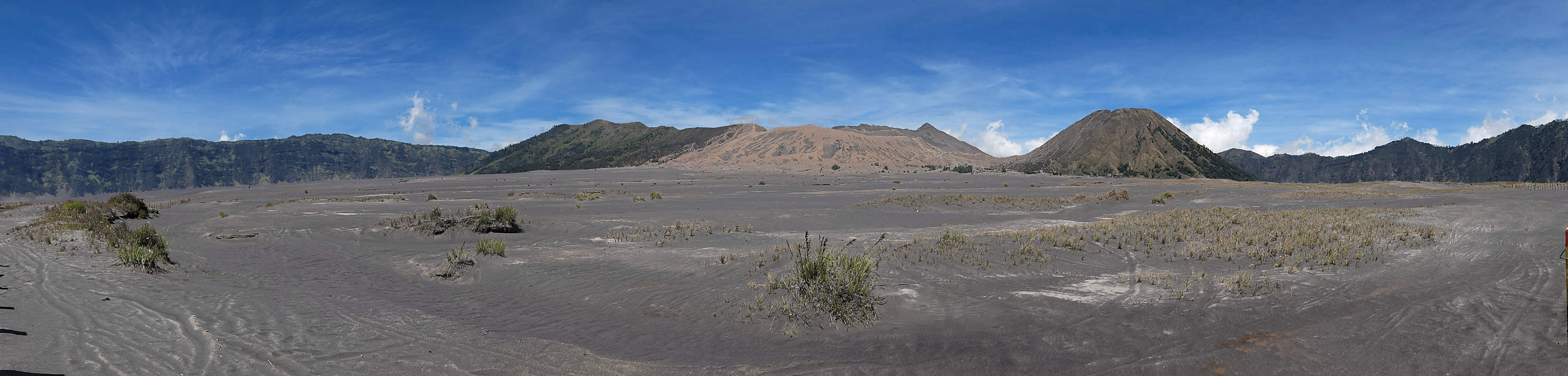
Panorama of the Sea of Sand as we walked across to the Bromo caldera. Mt Bromo, Indonesia (Java).

Panorama of Bromo and the Sea of Sand as we walked across to the Bromo caldera. Mt Bromo, Indonesia (Java).
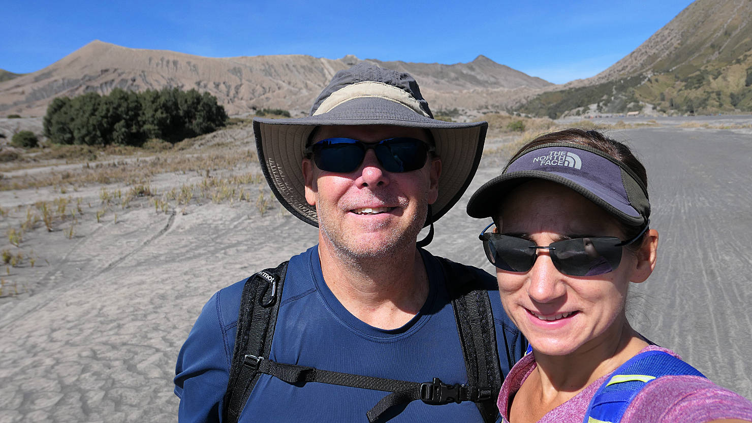
Rick and Alisa in the Sea of Sand. Mt Bromo, Indonesia (Java).
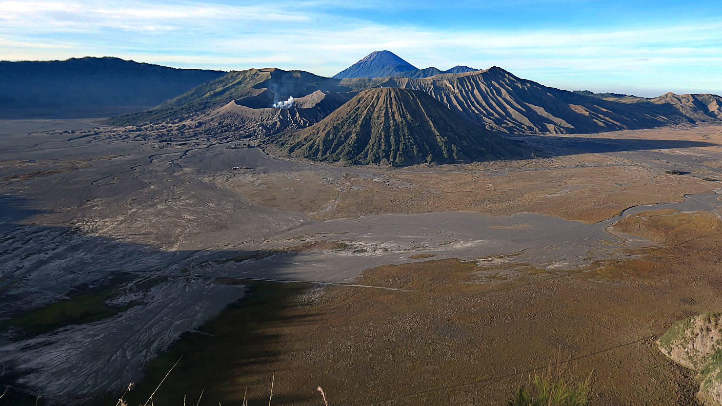
Tengger Massif and Sea of Sand. Mt Bromo, Indonesia (Java).

Tengger Massif and Sea of Sand. Mt Bromo, Indonesia (Java).
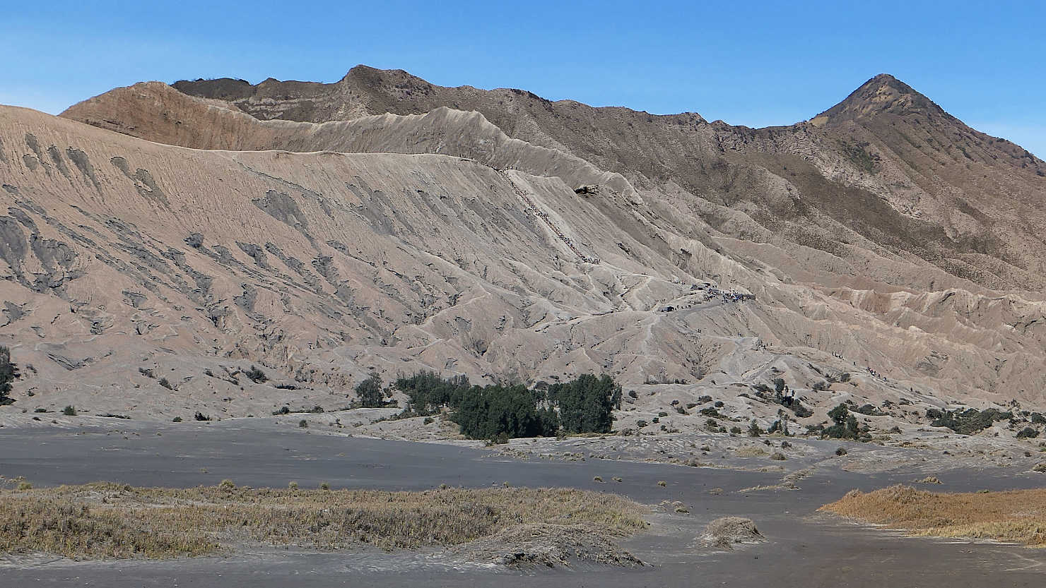
Looking up at the Bromo caldera from the Sea of Sand. At center, you can see the stairway leading to the caldera rim. Mt Bromo, Indonesia (Java).

Closer view of the Bromo caldera and stairway leading to the rim. Note the size of the people on the caldera rim. Mt Bromo, Indonesia (Java).

Horse rides available for purchase. For people who don't want to walk the distance to the start of the caldera staircase. Mt Bromo, Indonesia (Java).
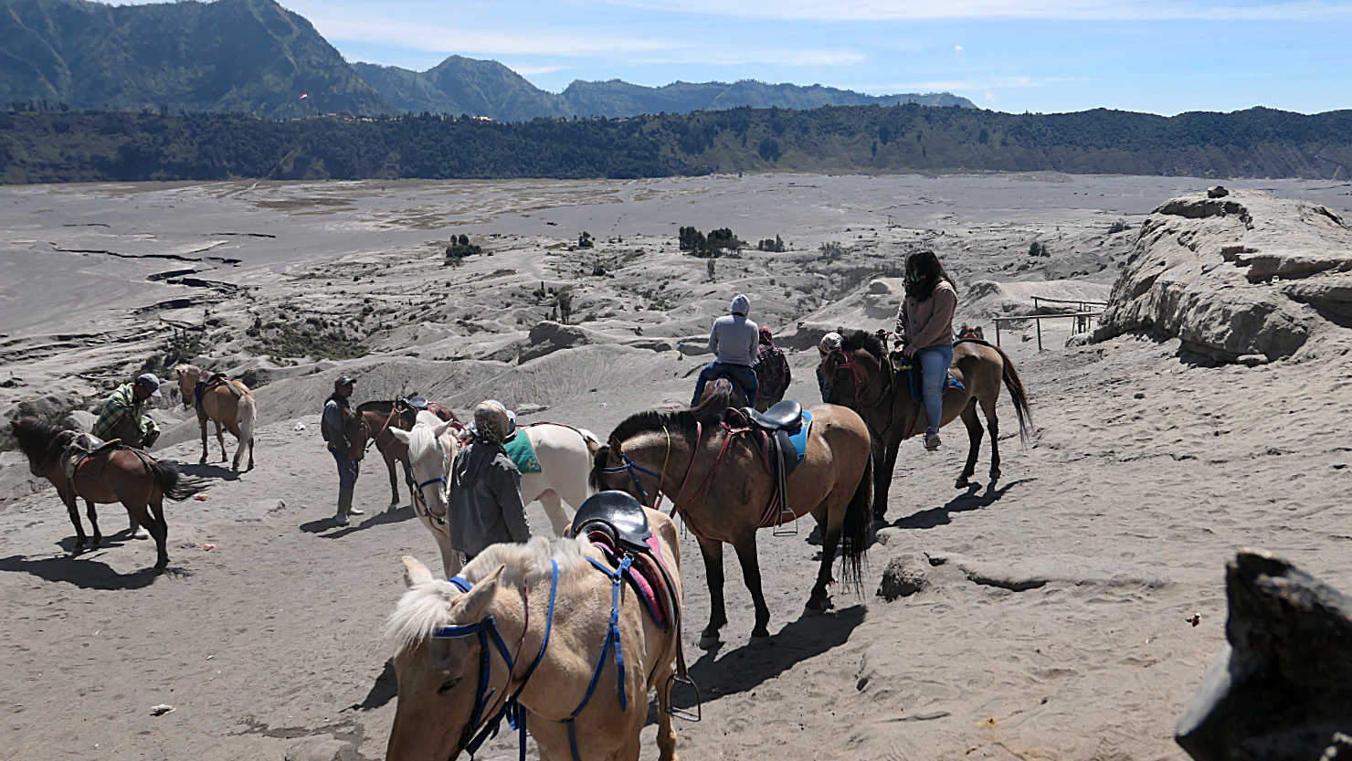
Horses carrying people who don't want walk the distance to the Bromo caldera staircase. Mt Bromo, Indonesia (Java).

Rick getting ready to walk up the stairs to the caldera rim. Mt Bromo, Indonesia (Java).

Stairway to the caldera rim. Mt Bromo, Indonesia (Java).
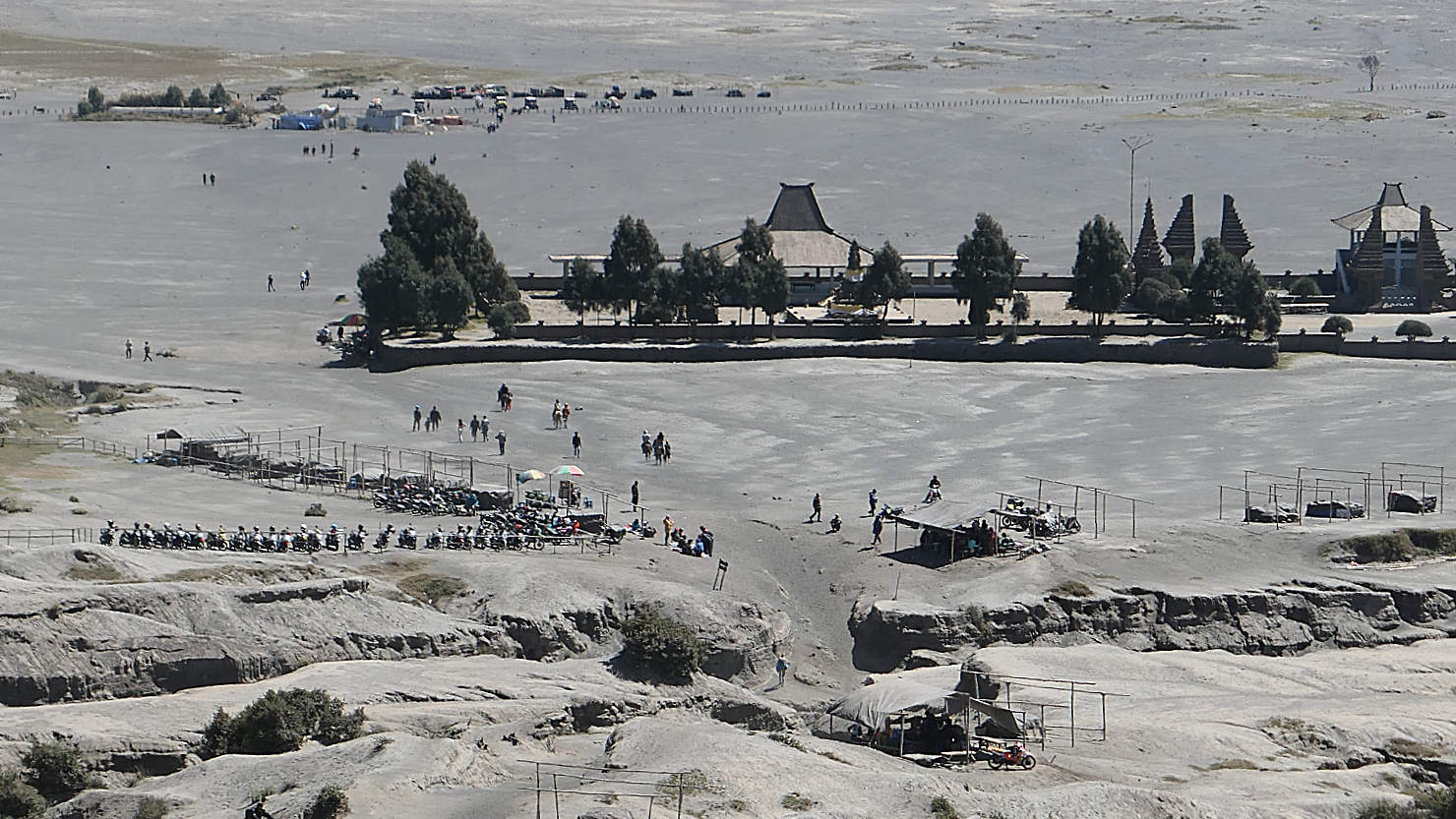
View of the caldera visitors center and parking area for those who drove across the Sea of Sand. This is at the bottom of the Bromo caldera. Mt Bromo, Indonesia (Java).

Looking into the Bromo crater from the caldera rim. Mt Bromo, Indonesia (Java).
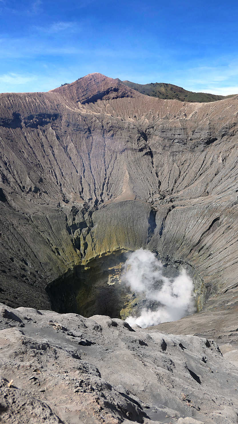
Looking into the Bromo crater from the caldera rim. Mt Bromo, Indonesia (Java).
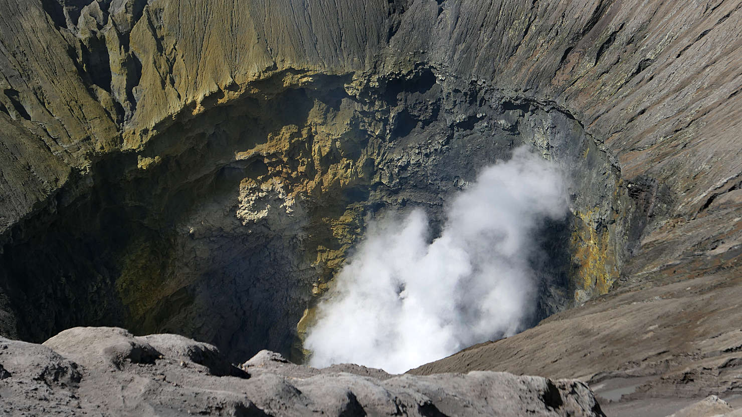
Close-up looking into the Bromo crater from the caldera rim. Mt Bromo, Indonesia (Java).
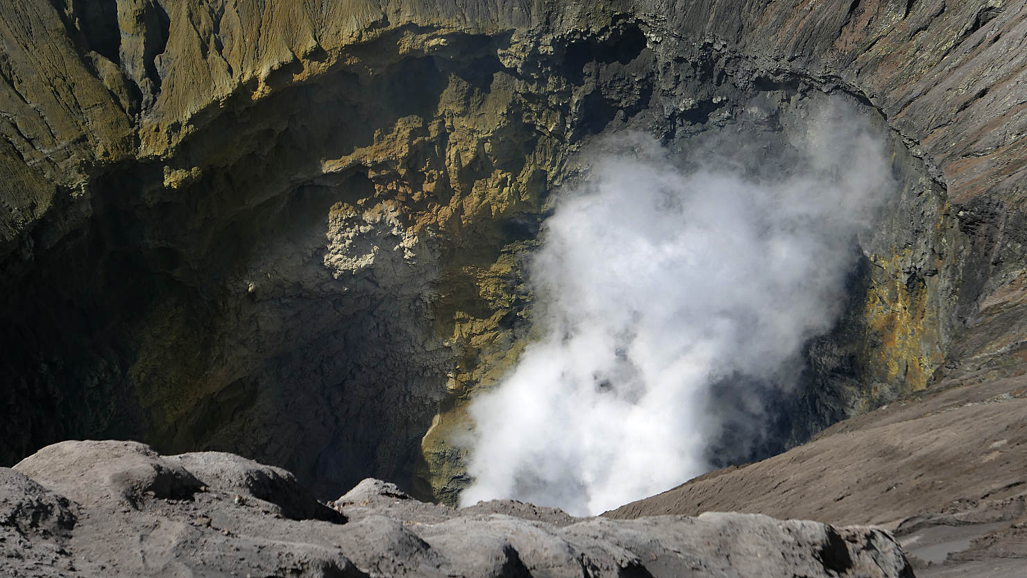
Close-up looking into the Bromo crater from the caldera rim. Mt Bromo, Indonesia (Java).

Rick and Alisa on the caldera rim. Mt Bromo, Indonesia (Java).
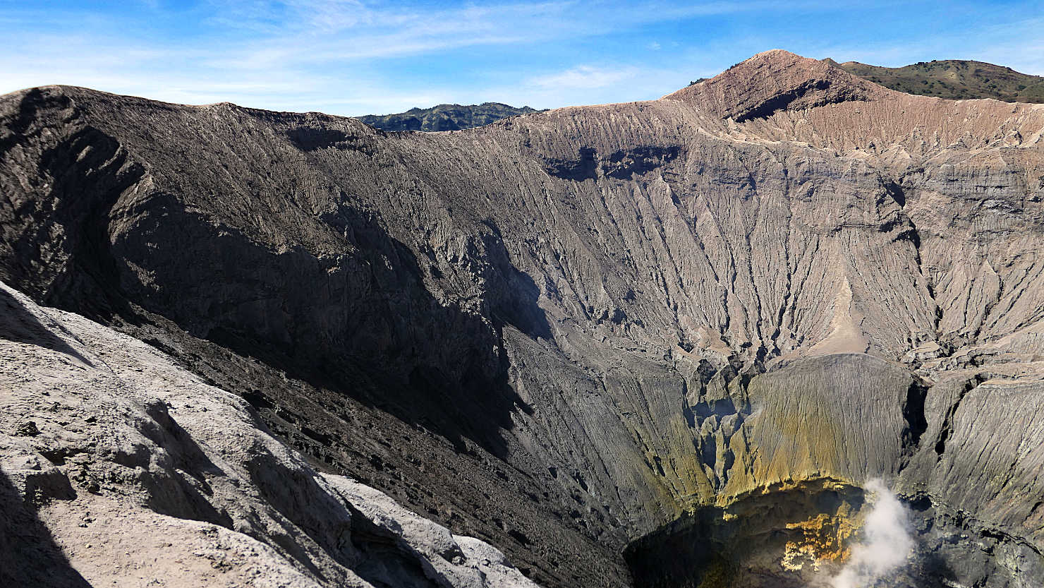
Bromo caldera rim view. Mt Bromo, Indonesia (Java).

Dilapidated house in an onion field near Cemoro Lawang, the closest town to Bromo. Mt Bromo, Indonesia (Java).
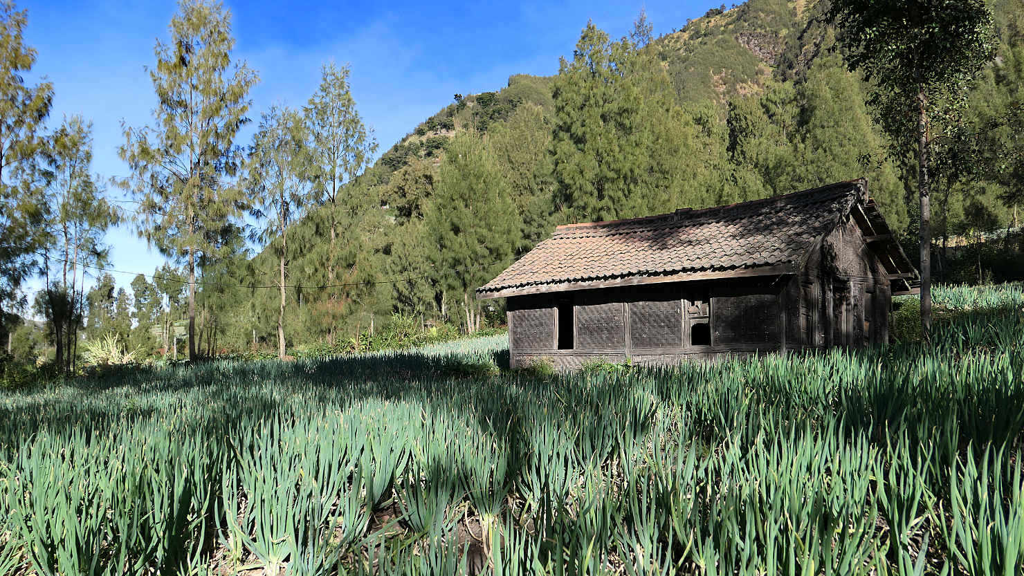
Dilapidated house in an onion field near Cemoro Lawang, the closest town to Bromo. Mt Bromo, Indonesia (Java).
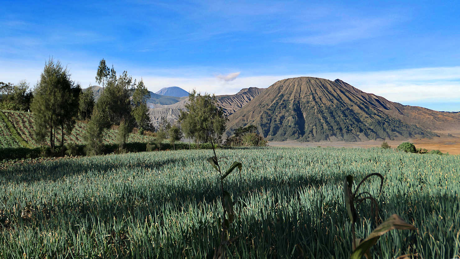
View of one of the farm fields with Mt Batok (part of the Tengger Massif) in the background. Mt Bromo, Indonesia (Java).

Local house and vegetable farm with the Tengger Massif in the background. Mt Bromo, Indonesia (Java).
Mt Bromo (Java)

Mt Ijen, Indonesia (Java)

Rick and our guide, Charlie, standing on the crater rim getting ready to head down the trail inside the Ijen caldera. Mt Ijen, Indonesia (Java).
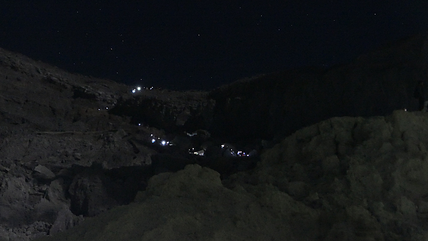
The trail leading inside the Ijen caldera. The lights are other hikers walking down the trail. Mt Ijen, Indonesia (Java).

Headlamps from other hikers walking down the Ijen caldera trail. Mt Ijen, Indonesia (Java).

Very early morning Inside the caldera. Ijen's suphur smoke lit by headlamps and Ijen's blue fire. Mt Ijen, Indonesia (Java).

Ijen's suphur smoke lit by headlamps. Mt Ijen, Indonesia (Java).

Ijen's blue fire and sulphur smoke. Note the scale of the blue fire compared to the size of the hikers at the bottom.Very early morning Inside the caldera. Mt Ijen, Indonesia (Java).

Ijen's blue fire. Mt Ijen, Indonesia (Java).
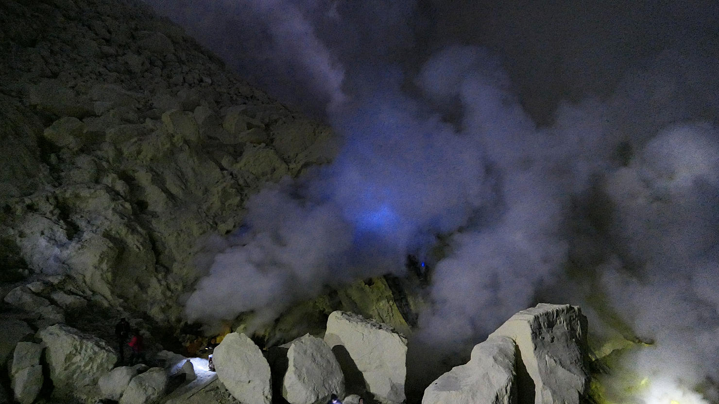
Ijen's blue fire and sulphur clouds. Mt Ijen, Indonesia (Java).
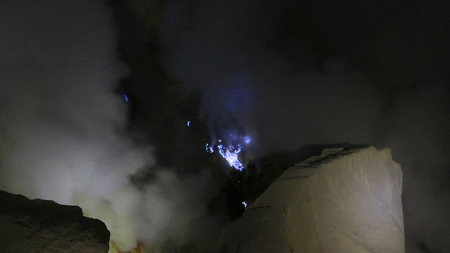
Ijen's blue fire. Mt Ijen, Indonesia (Java).
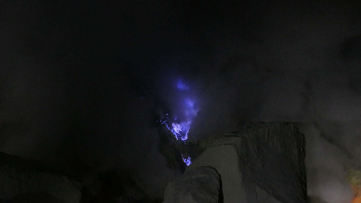
Ijen's blue fire. Mt Ijen, Indonesia (Java).

Ijen's blue fire. Mt Ijen, Indonesia (Java).
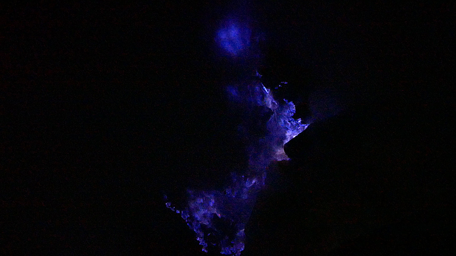
Ijen's blue fire. Mt Ijen, Indonesia (Java).
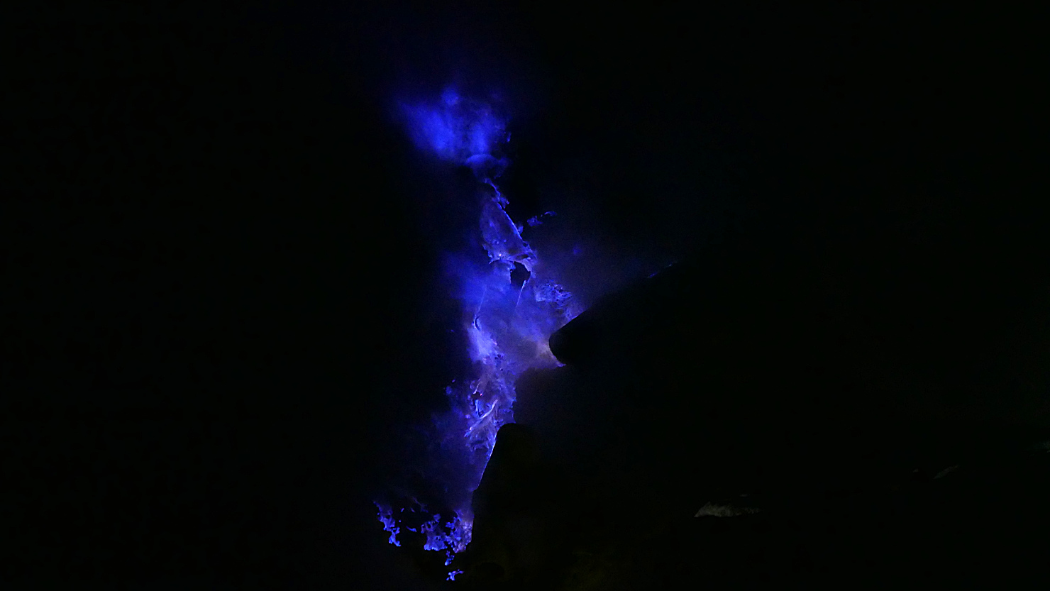
Ijen's blue fire. Mt Ijen, Indonesia (Java).

Ijen's blue fire. Mt Ijen, Indonesia (Java).
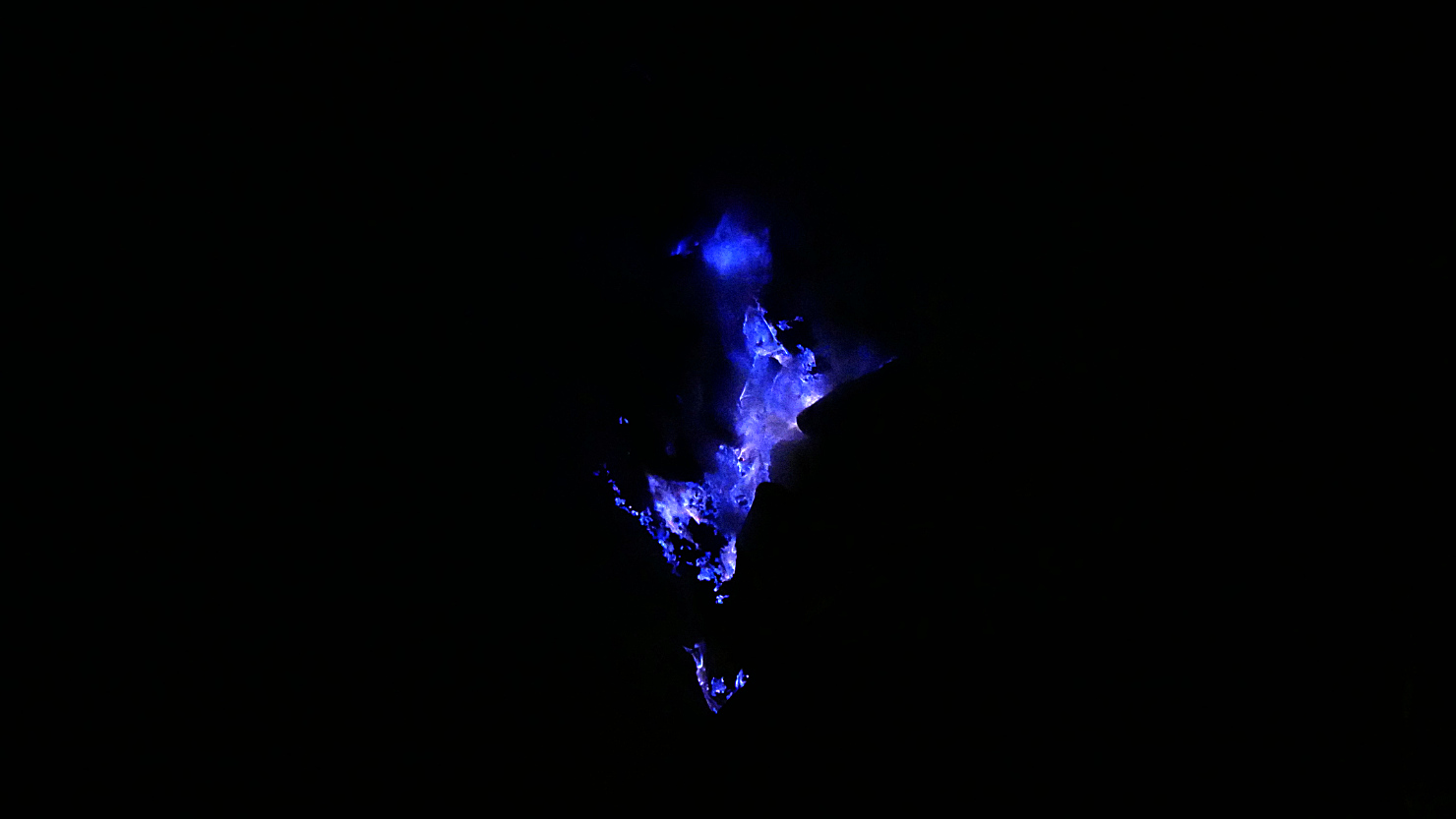
Ijen's blue fire. Mt Ijen, Indonesia (Java).
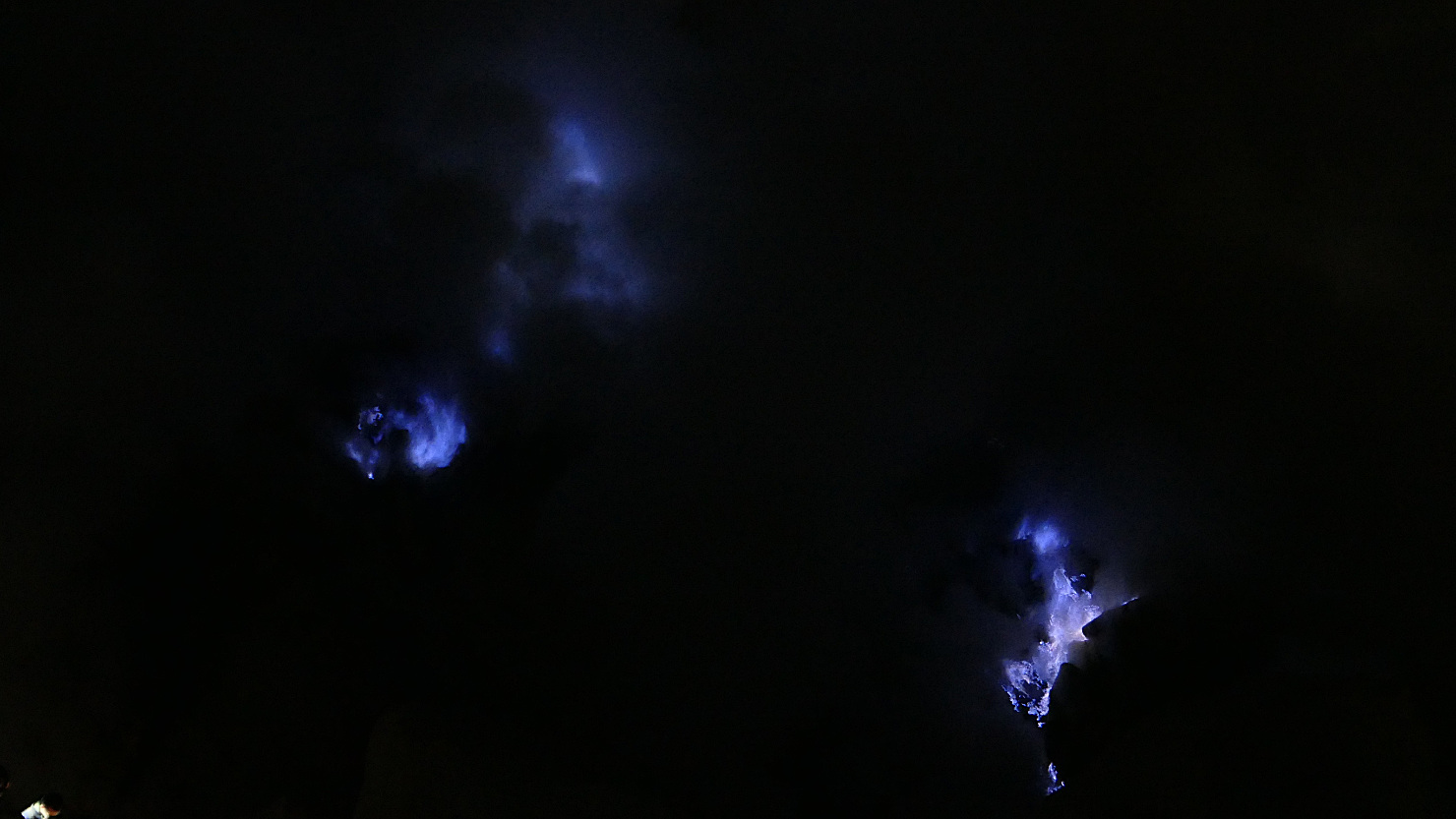
Multiple blue fire flames. Mt Ijen, Indonesia (Java).

Ijen's blue fire with full moon. Mt Ijen, Indonesia (Java).
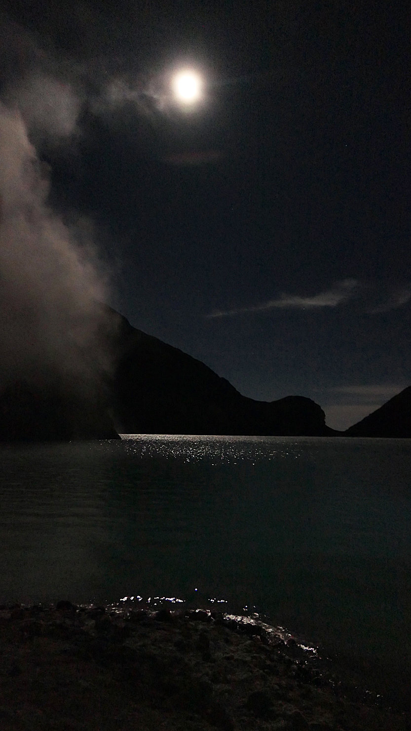
Ijen's lake lit by the full moon (the lake is hydrochloric acid). Mt Ijen, Indonesia (Java).

Moonlight on Ijen's lake (the lake is hydrochloric acid). Mt Ijen, Indonesia (Java).
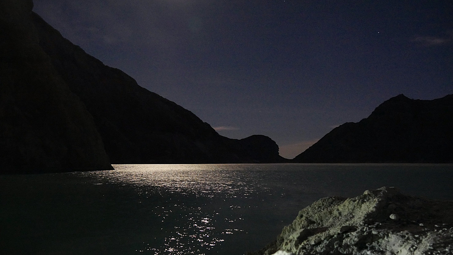
Moonlight on Ijen's lake (the lake is hydrochloric acid). Mt Ijen, Indonesia (Java).

Ijen miner breaking freshly solidified sulphur. Mt Ijen, Indonesia (Java).
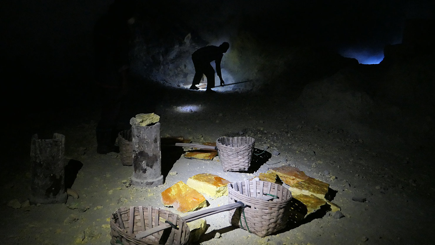
Ijen miner breaking freshly solidified sulphur into pieces for carrying in these baskets. Mt Ijen, Indonesia (Java).
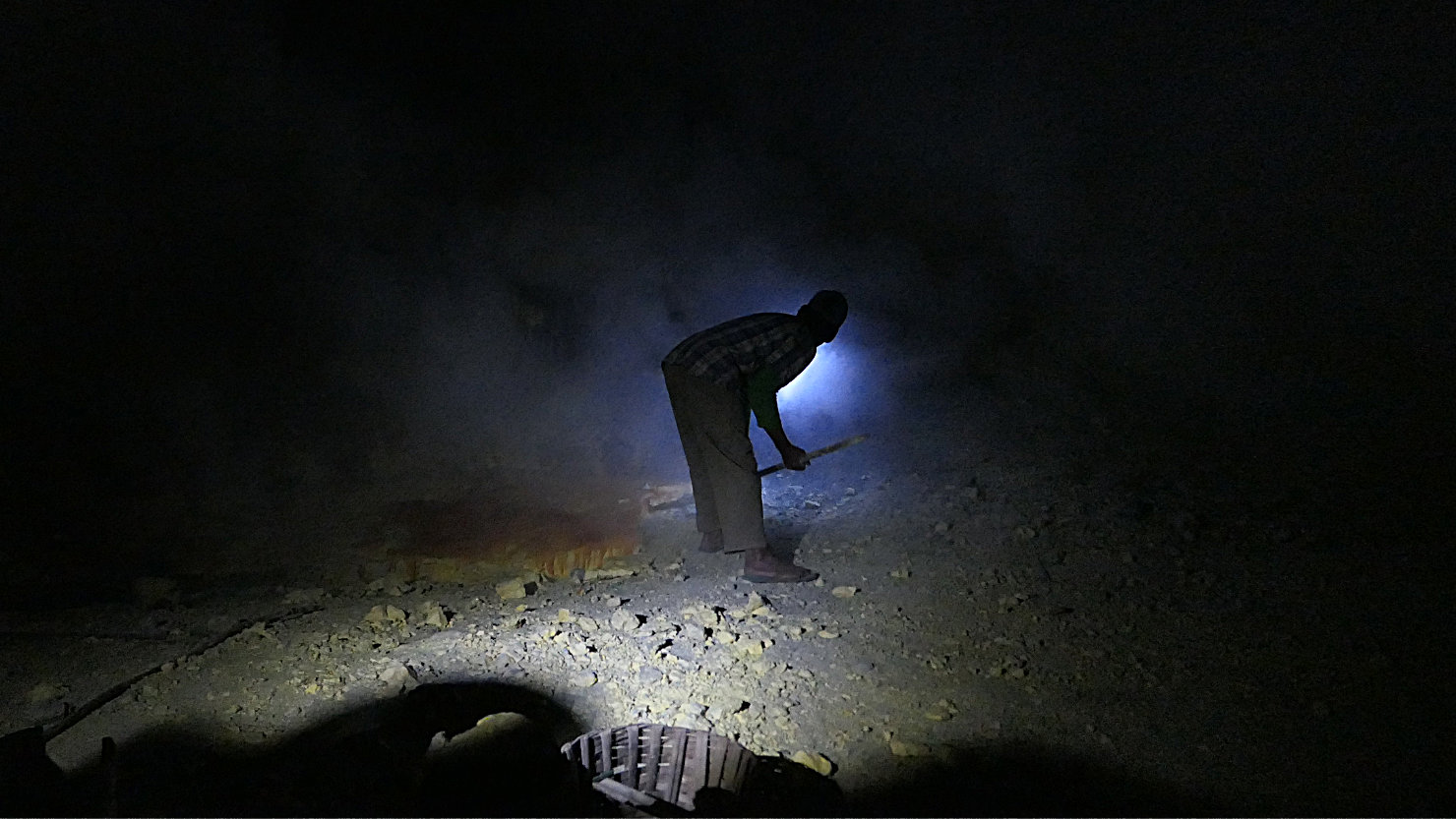
Closer view of one of the miners breaking up the freshly solidified sulphur. Mt Ijen, Indonesia (Java).
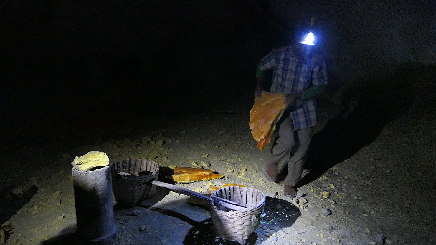
Ijen miner loading the baskets with the sulphur chunks. Mt Ijen, Indonesia (Java).
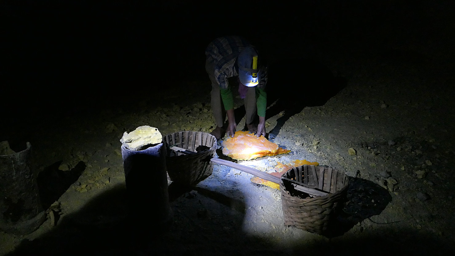
Ijen miner loading the baskets with the sulphur chunks. Mt Ijen, Indonesia (Java).
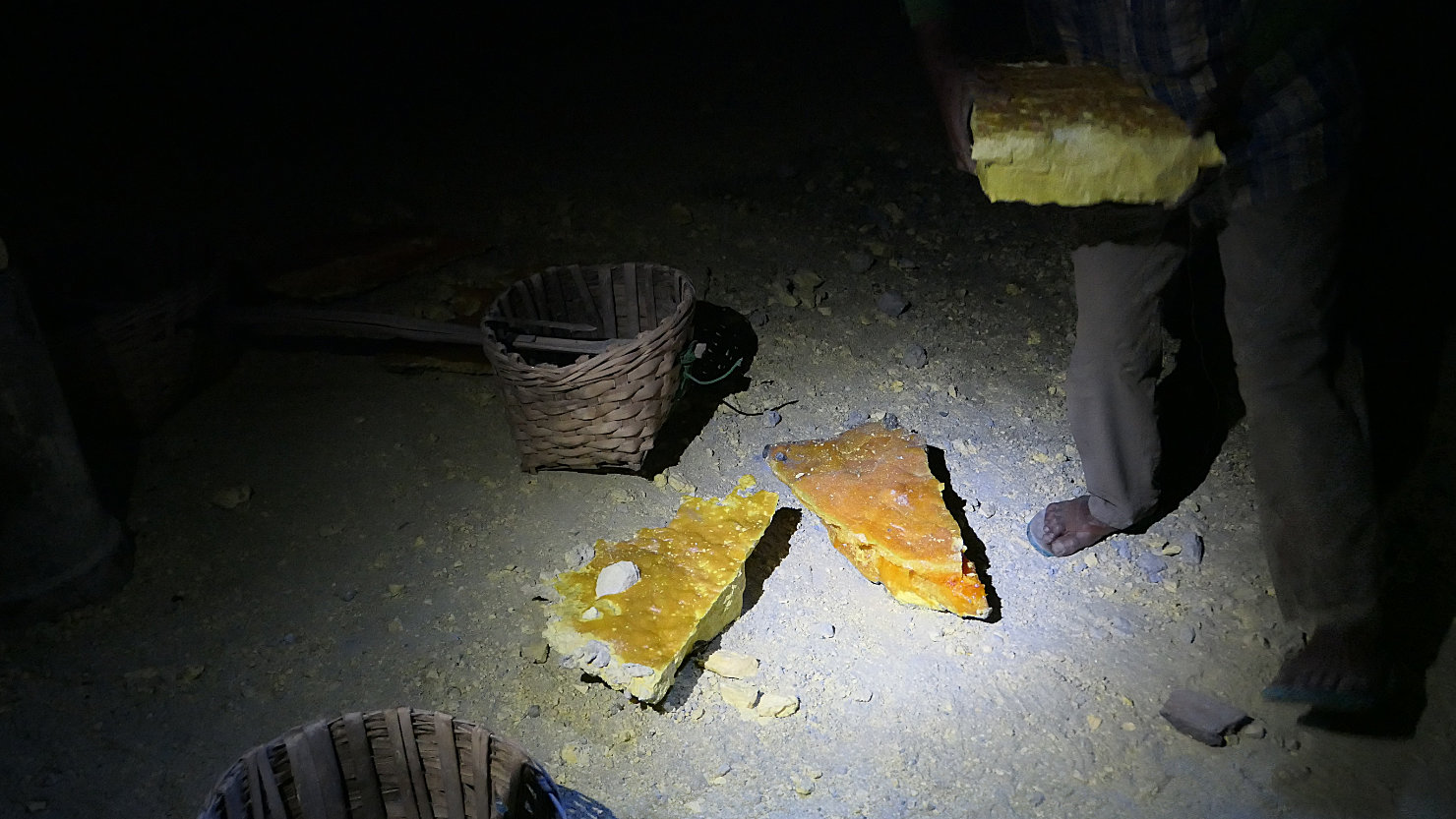
Closer view of the solidified sulphur blocks. The miners carry fully loaded baskets on their backs up the caldera trail to the rim then down trail in a hand cart to main entrance. Mt Ijen, Indonesia (Java).
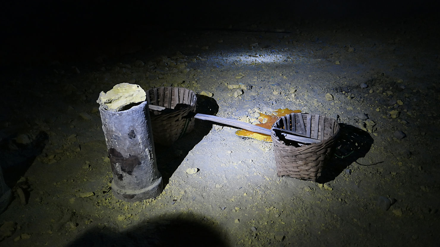
View of a miner's basket used for transporting the sulphur pieces. Mt Ijen, Indonesia (Java).
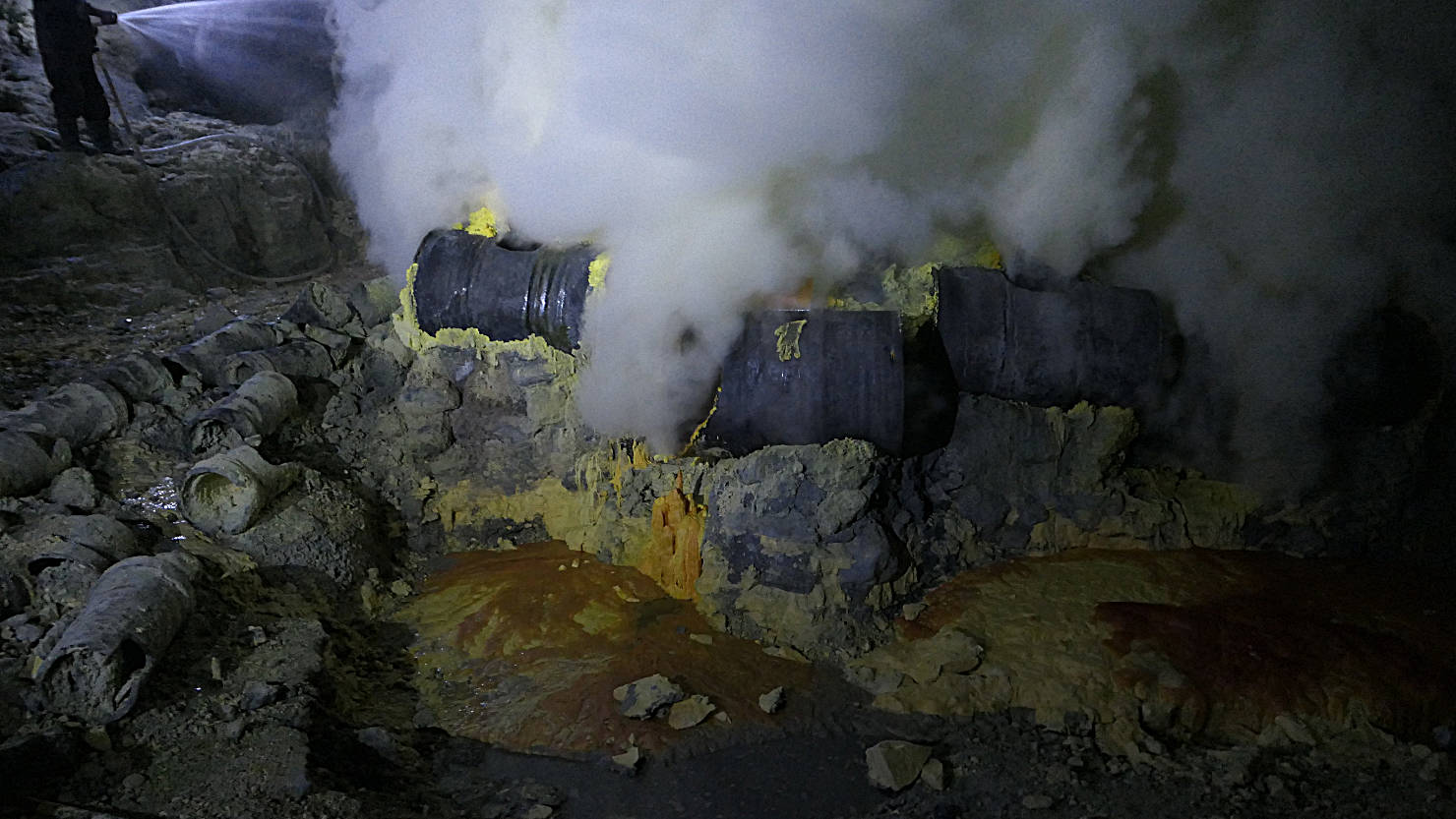
Sulphur vent pipes and area below where the liquified molten sulphur drips and solidifies. Mt Ijen, Indonesia (Java).
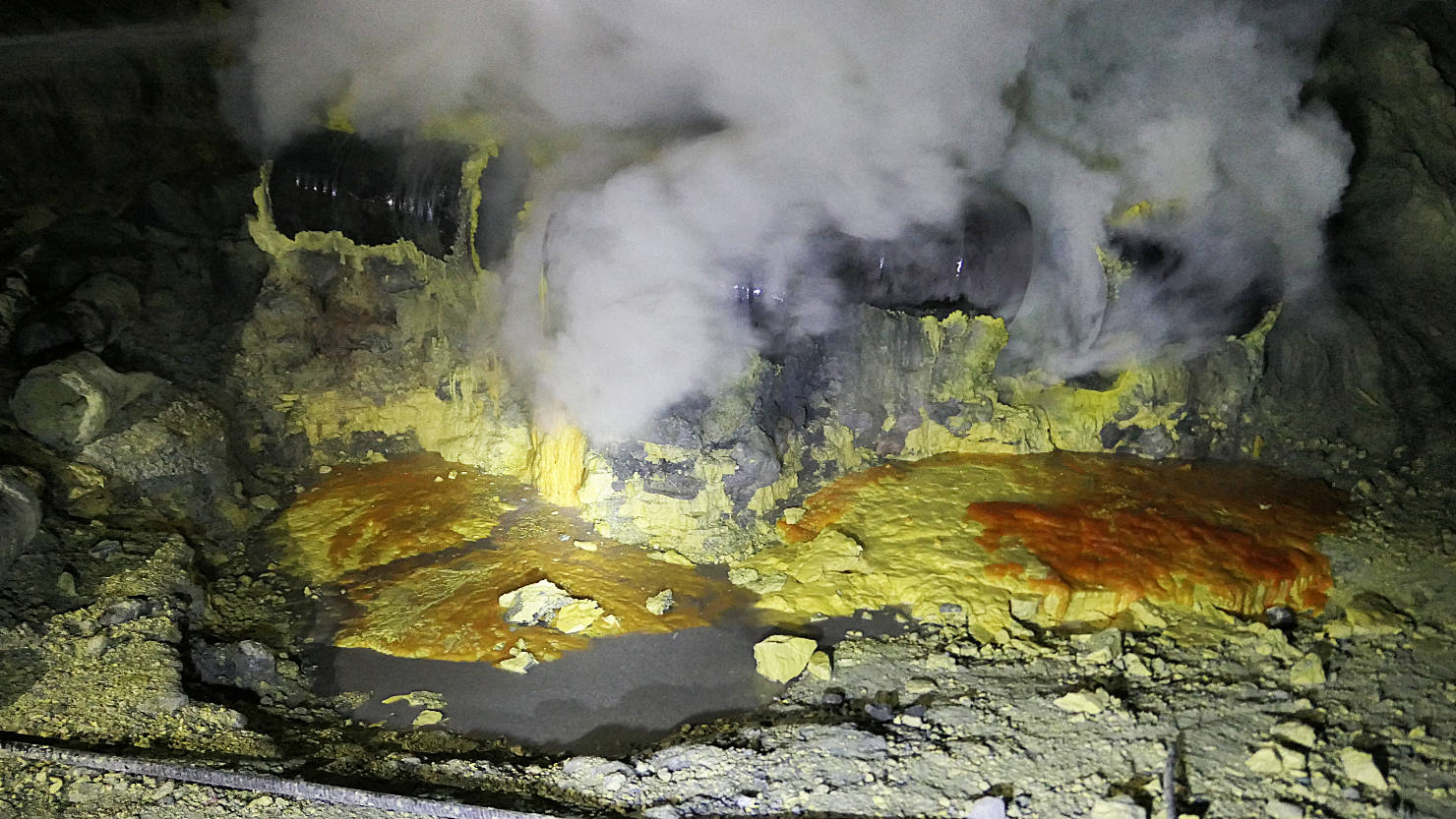
Closer view of the sulphur vent pipes and area below where the liquified molten sulphur drips and solidifies. Mt Ijen, Indonesia (Java).

Freshly solidified sulphur mat. The miners will break this into pieces for transport. Mt Ijen, Indonesia (Java).
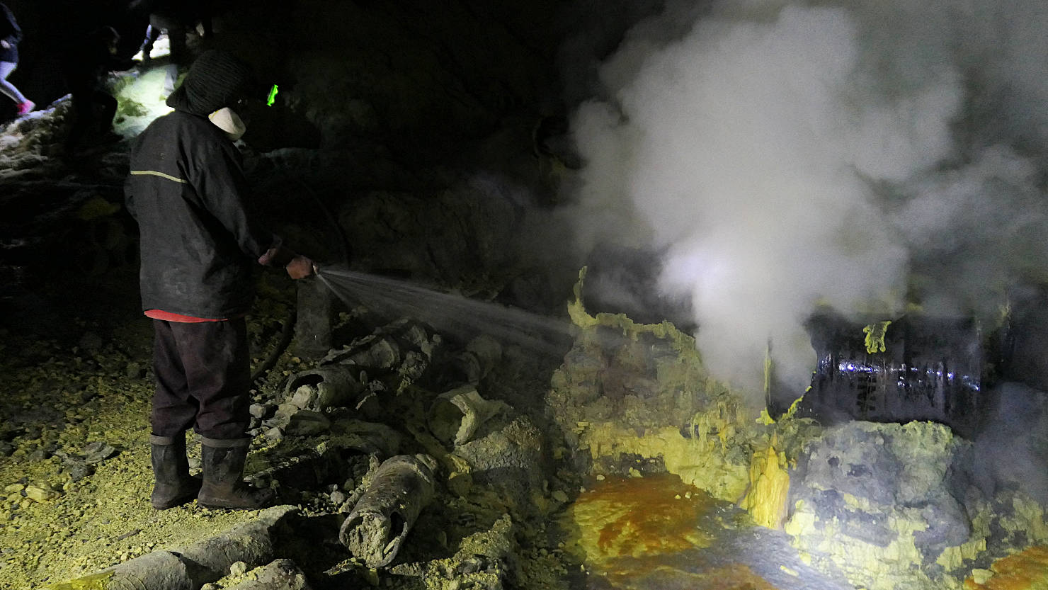
Miner spraying the sulphur vents. Mt Ijen, Indonesia (Java).
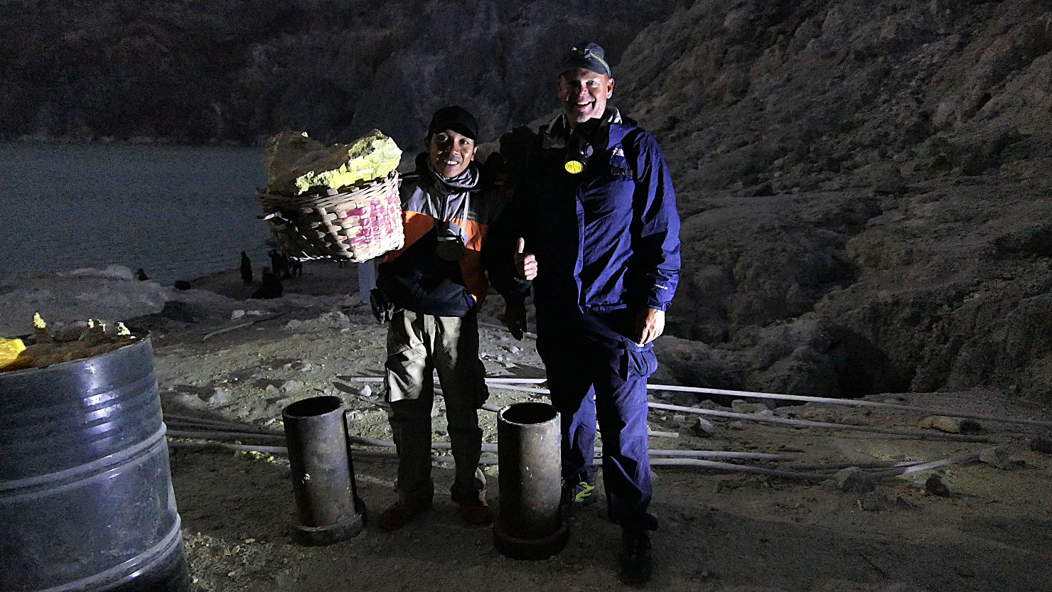
Rick with Charlie, our guide, who is holding a loaded (60 kg) sulphur basket. This is considered a light loaded for the miners. Mt Ijen, Indonesia (Java).

Rick and Alisa standing with Charlie, our guide, while he holds a 60 Kg sulphur basket (what he considers a light load for the miners). Mt Ijen, Indonesia (Java).
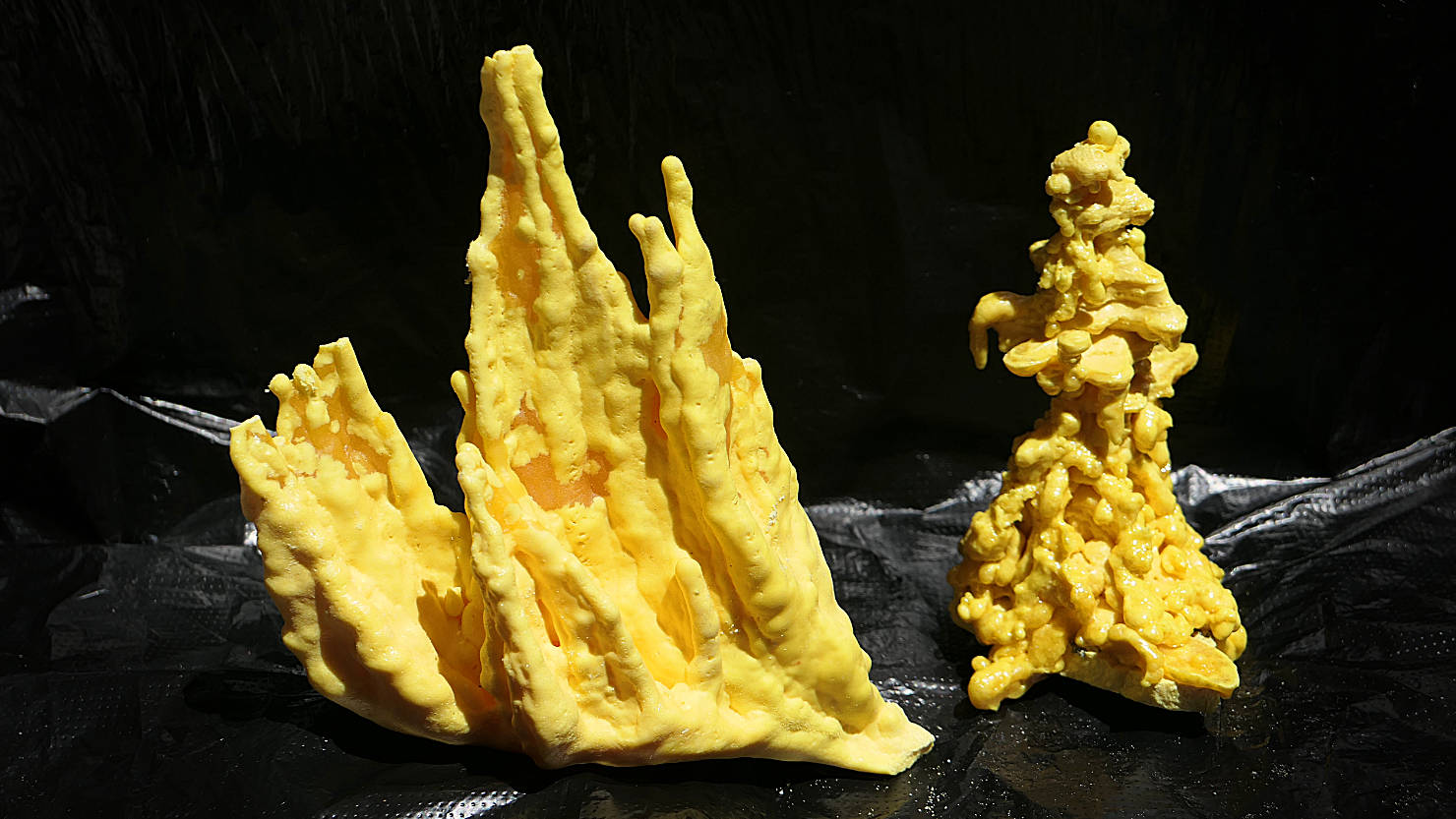
Many of the miners make natural looking sulphur sculptures from the molten liquified sulphur like these or they carve sculptures. The miners then offer them for sale to help supplement their income. Mt Ijen, Indonesia (Java).
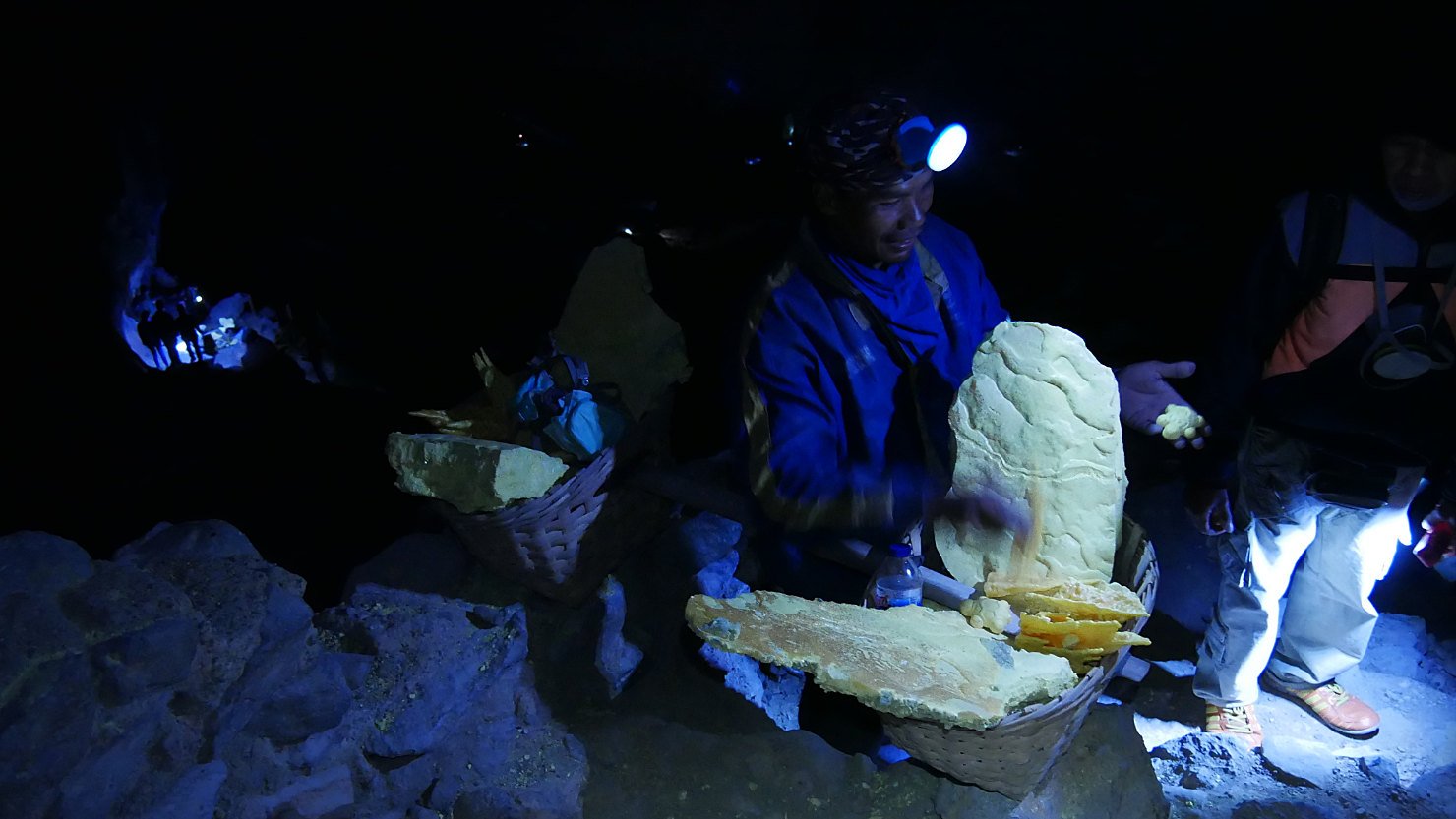
Miner selling carved sulphur sculptures. The help supplement his income. Mt Ijen, Indonesia (Java).

Daylight view looking down at the sulphur vents. Mt Ijen, Indonesia (Java).

Rick with his gas mask taking video of the Ijen lake and sulphur cloud. Mt Ijen, Indonesia (Java).
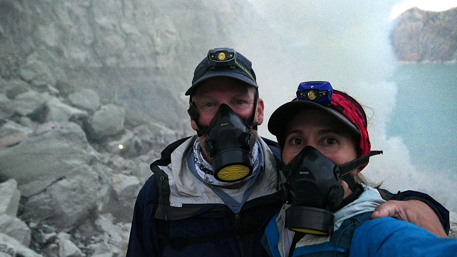
Rick and Alisa wearing their gas masks inside the caldera. You didn't need the masks all the time only when the wind changed direction and blew the sulphur cloud around you. Mt Ijen, Indonesia (Java).

Rick and Alisa with Ijen's hydrochloric acid lake and sulphur cloud in the background. Mt Ijen, Indonesia (Java).

Rick and Alisa with Ijen's hydrochloric acid lake and sulphur cloud in the background. Mt Ijen, Indonesia (Java).
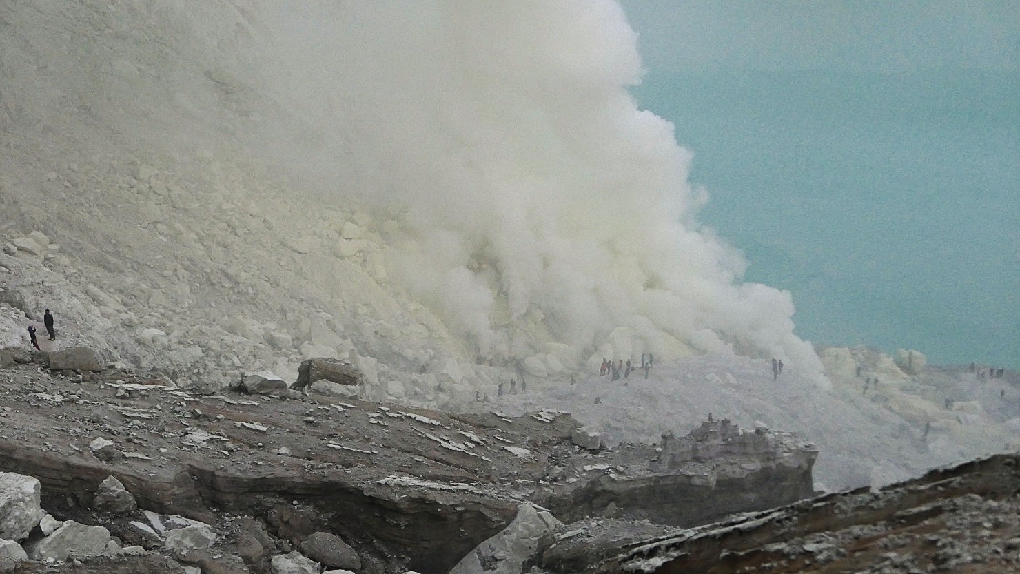
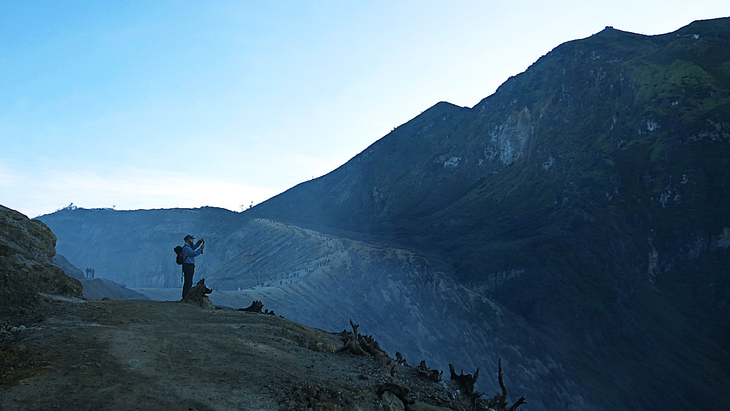
Daylight view of Ijen's sulphur cloud and hydrochloric acid lake. Note the size of the people in the photo. Mt Ijen, Indonesia (Java).
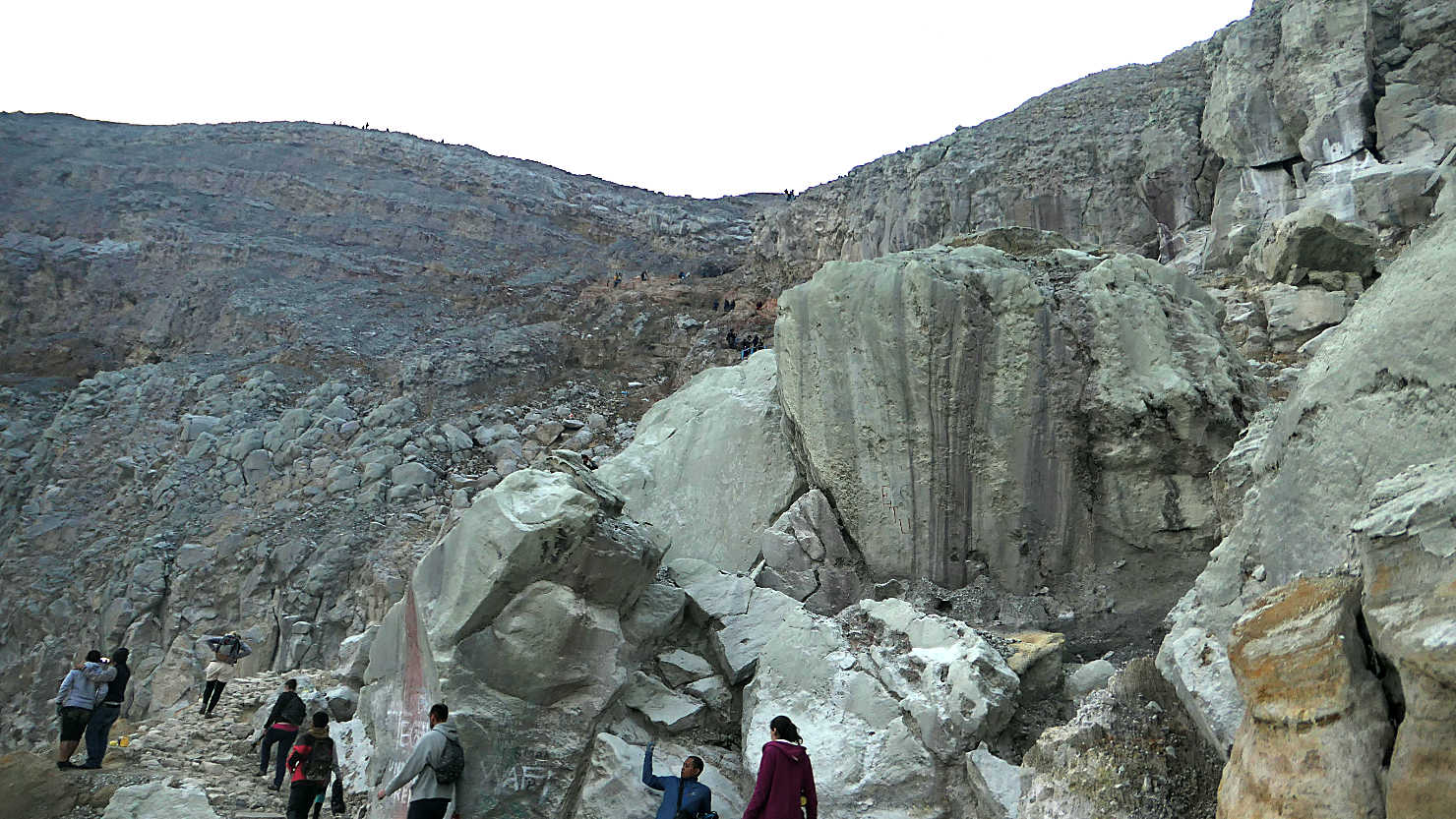
View looking up the caldera trail to the rim. Mt Ijen, Indonesia (Java).
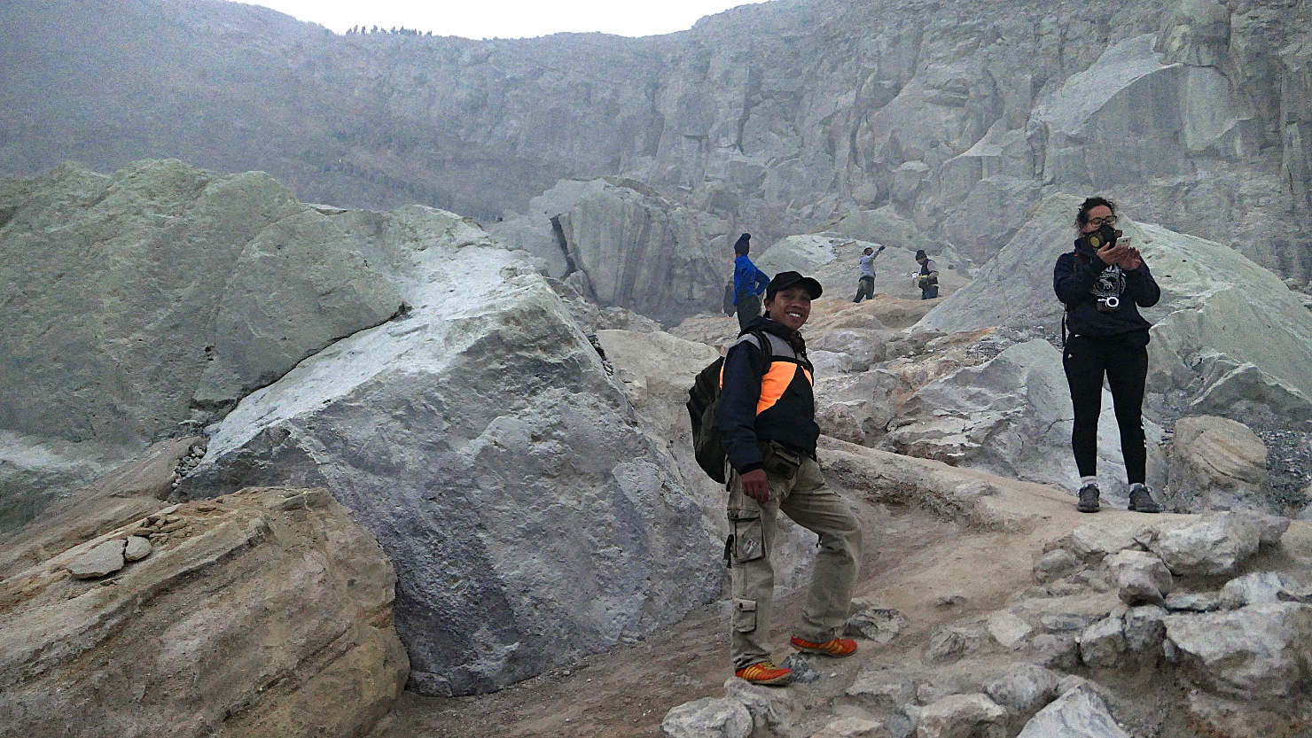
Charlie, our guide, walking up the trail to the crater rim. Mt Ijen, Indonesia (Java).
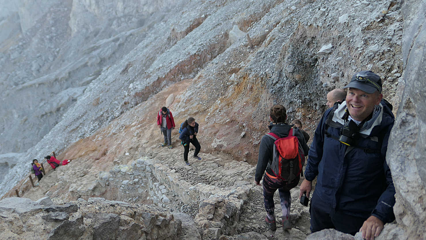
Rick hiking the caldera trail up to the crater rim. Mt Ijen, Indonesia (Java).
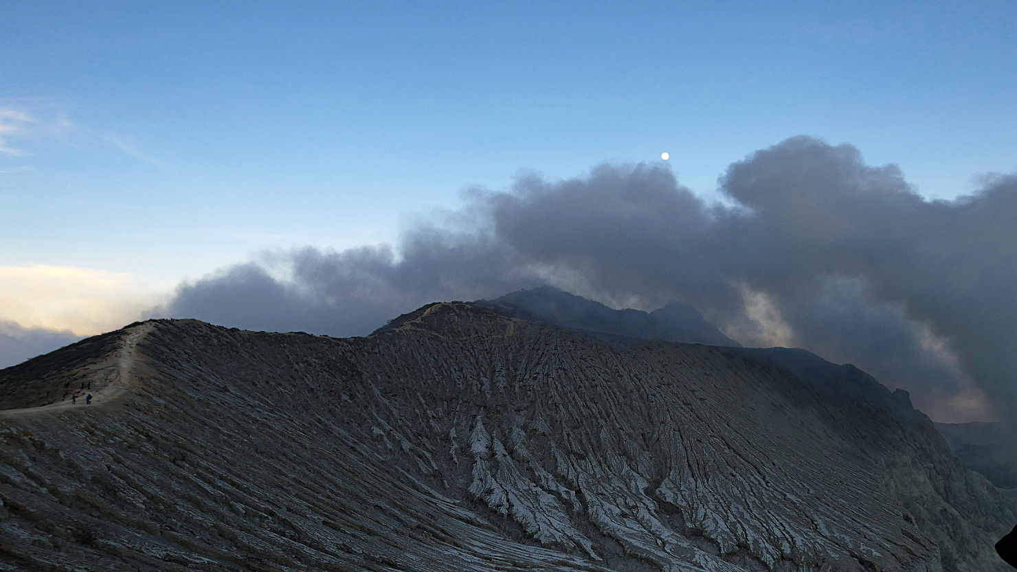
Full moon over the caldera rim. Mt Ijen, Indonesia (Java).

Crater rim trail at sunrise. Mt Ijen, Indonesia (Java).

Panorama of the crater rim trail at sunrise. Mt Ijen, Indonesia (Java).
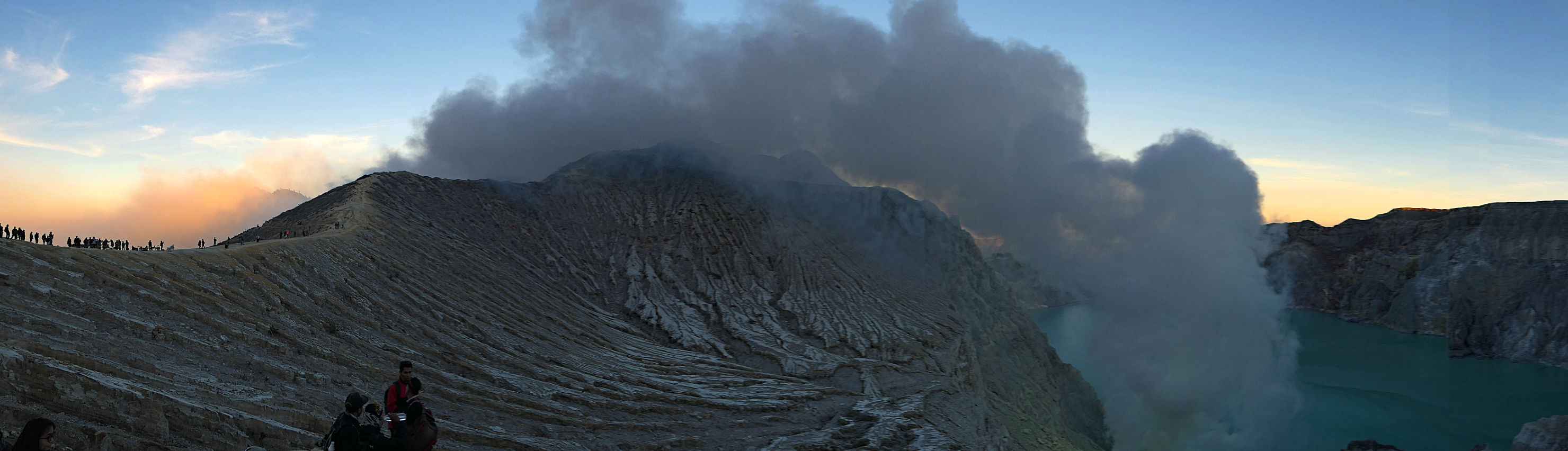
Panorama of the crater rim trail and lake at sunrise. Mt Ijen, Indonesia (Java).
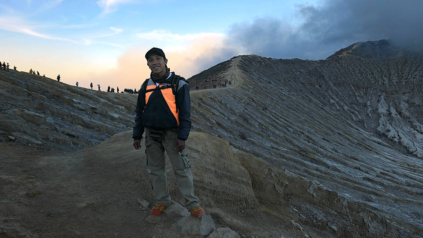
Charlie, our guide, on the crater rim trail. Mt Ijen, Indonesia (Java).
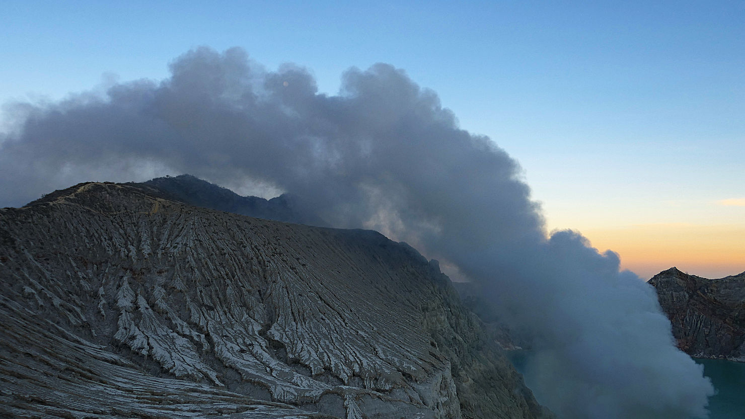
Ijen caldera sunrise. Mt Ijen, Indonesia (Java).

Ijen crater wall with sulphur smoke. Mt Ijen, Indonesia (Java).

Ijen caldera rim with sulphur smoke looking into the acid lake. Mt Ijen, Indonesia (Java).
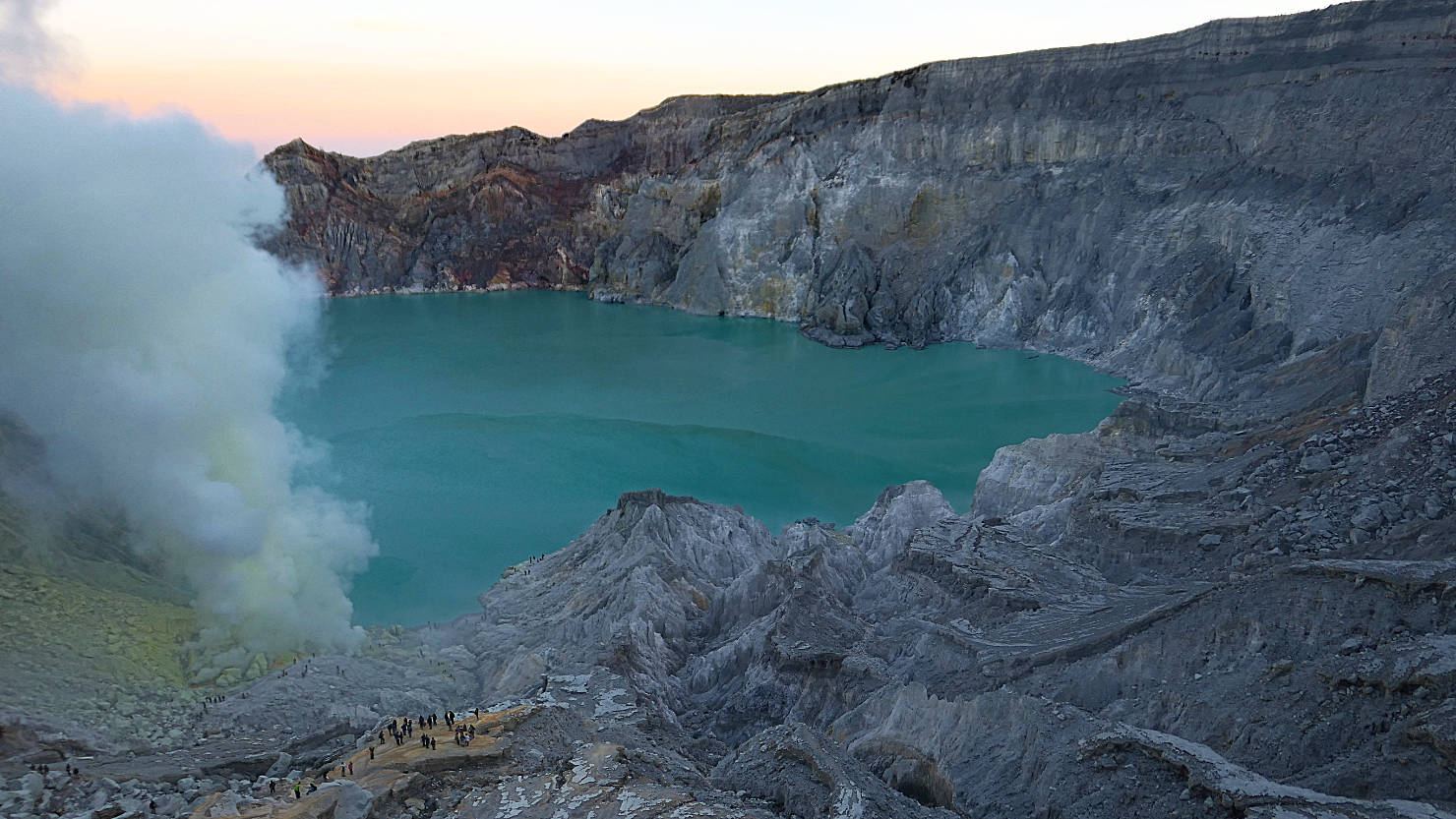
Ijen acid lake and sulphur smoke at sunrise. Note the size of the people at the bottom of the caldera. Mt Ijen, Indonesia (Java).

Ijen acid lake and sulphur smoke at sunrise. Mt Ijen, Indonesia (Java).

Ijen acid lake and sulphur smoke at sunrise. Mt Ijen, Indonesia (Java).
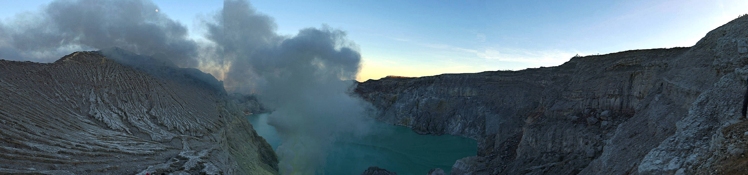
Panorama of the Ijen caldera and acid lake at sunrise. Mt Ijen, Indonesia (Java).
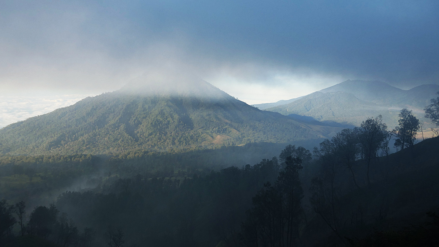
View looking toward one of several volcanos seen from the trail as we headed back to the parking lot. Mt Ijen, Indonesia (Java).

View looking toward one of several volcanos seen from the trail as we headed back to the parking lot. Mt Ijen, Indonesia (Java).
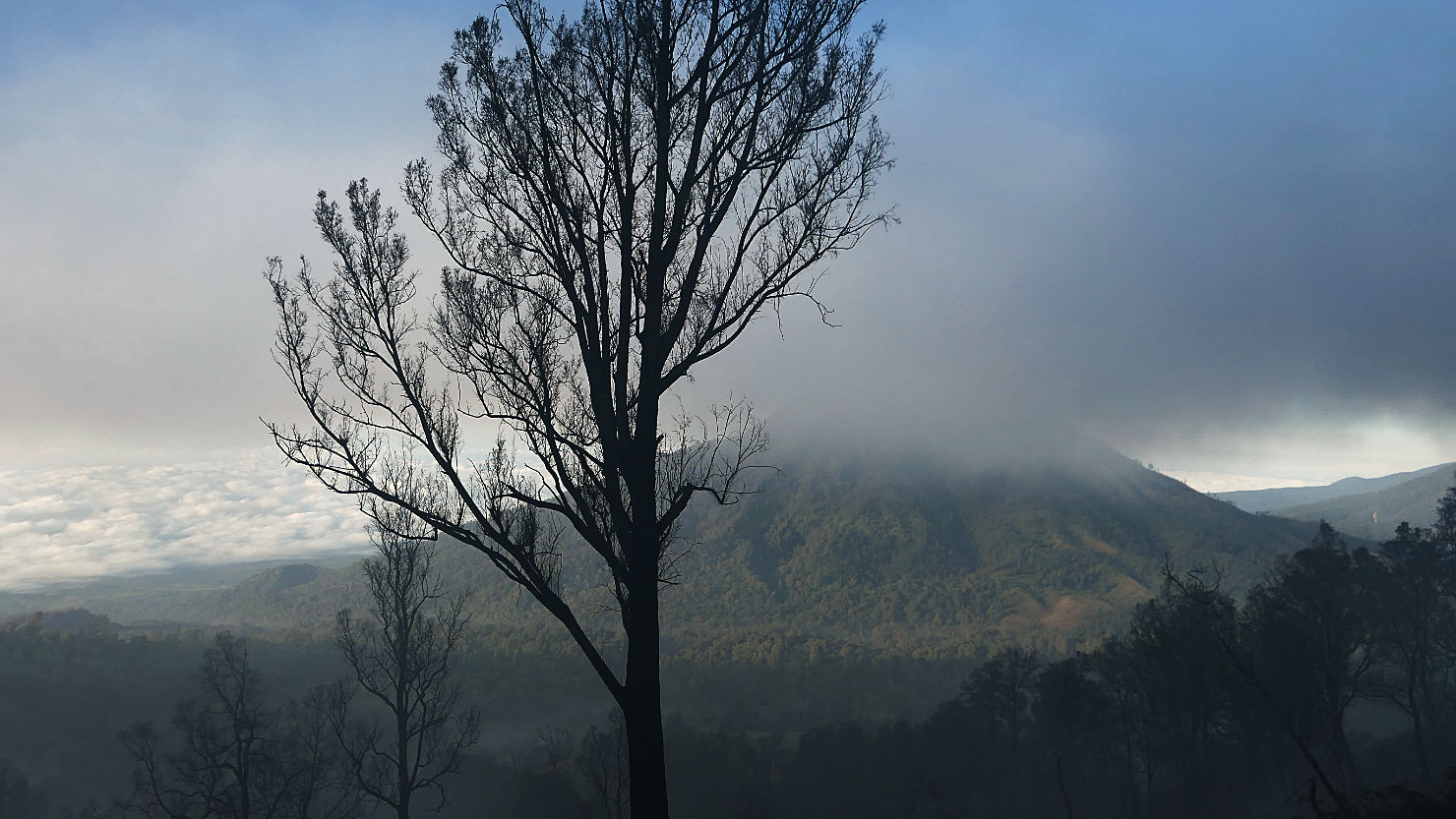
View looking toward one of several volcanos seen from the trail as we headed back to the parking lot. Mt Ijen, Indonesia (Java).
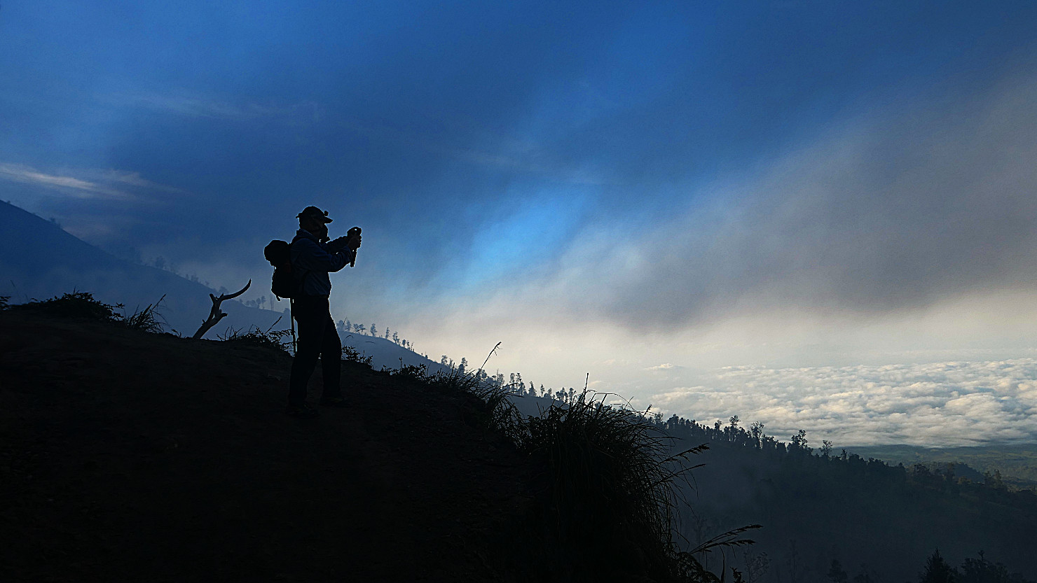
Rick heading down the main trail to the parking lot. Mt Ijen, Indonesia (Java).
Rick heading down the main trail to the parking lot. Mt Ijen, Indonesia (Java).

View of Mt Merapi in the distance with a sulphur cloud over head. Mt Ijen, Indonesia (Java).

View from the main trail of the cloud covered city below. Mt Ijen, Indonesia (Java).

View from the main trail of the cloud covered city below. Mt Ijen, Indonesia (Java).

Rick, Charlie (our guide), and Alisa at the parking lot following our hike. Mt Ijen, Indonesia (Java).
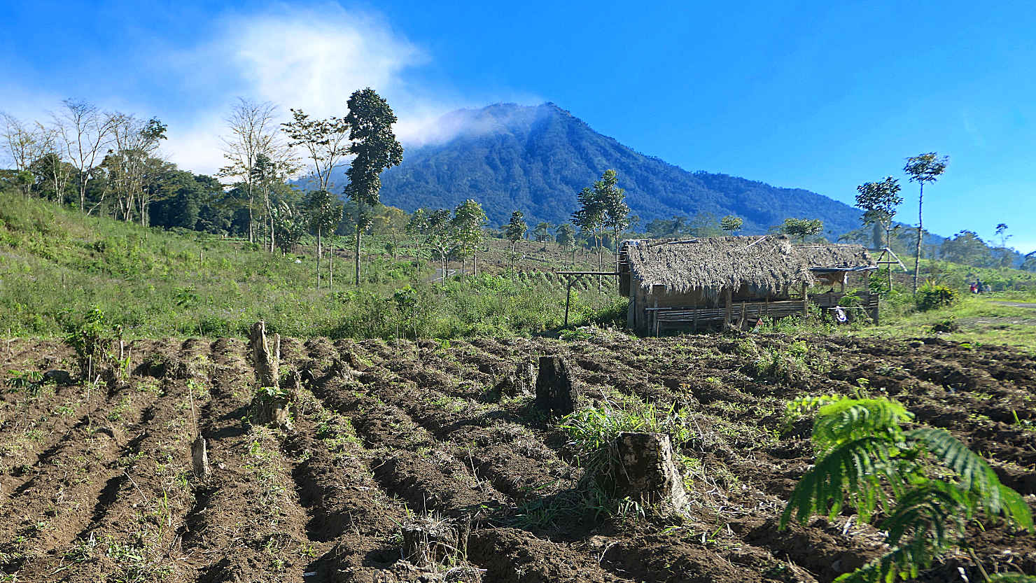
View of Mt Merapi and the cloud covered Mt Ijen from a farmer's field. Mt Ijen, Indonesia (Java).
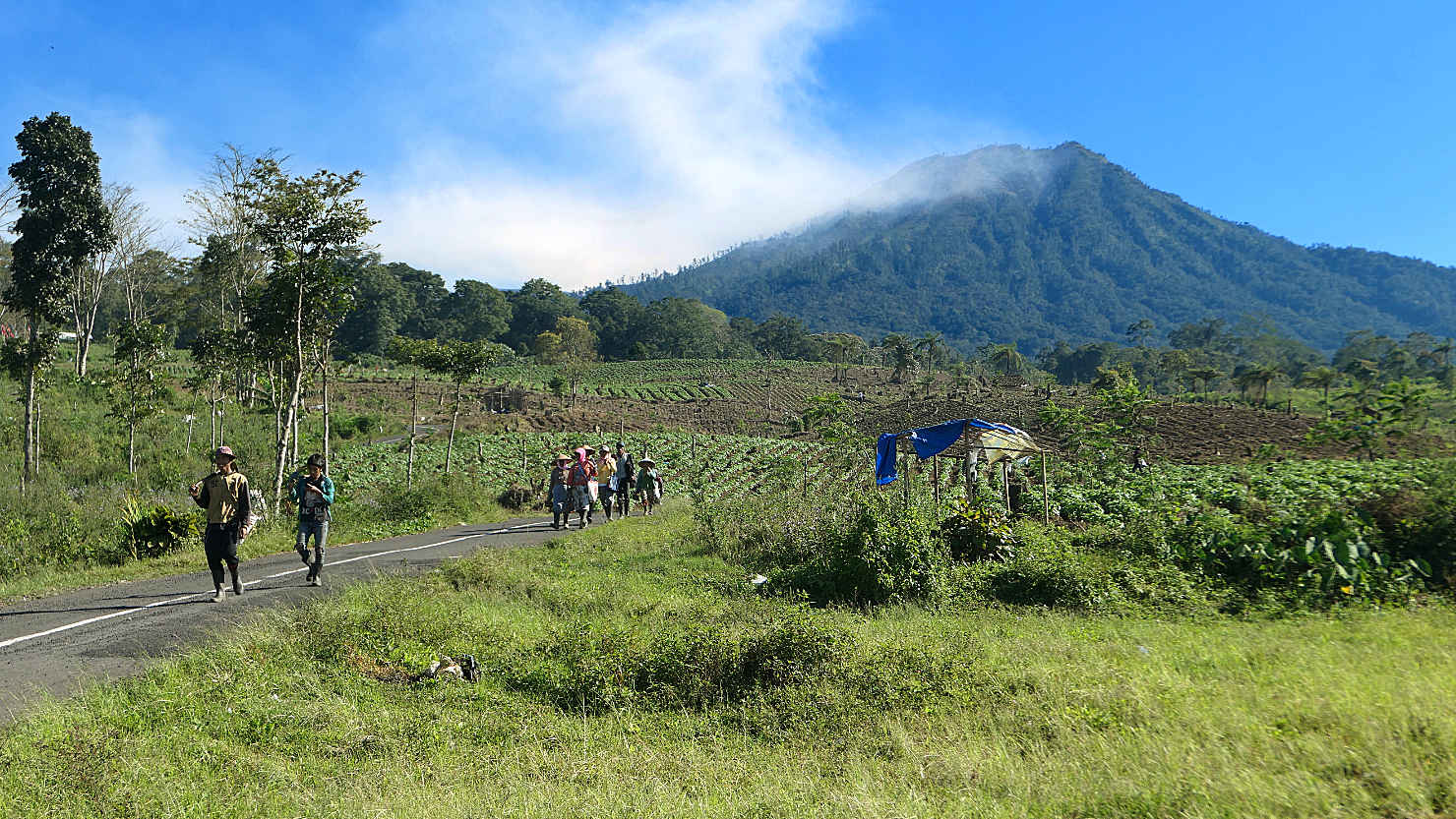
Locals farming the fields near Mt Merapi. Mt Ijen, Indonesia (Java).
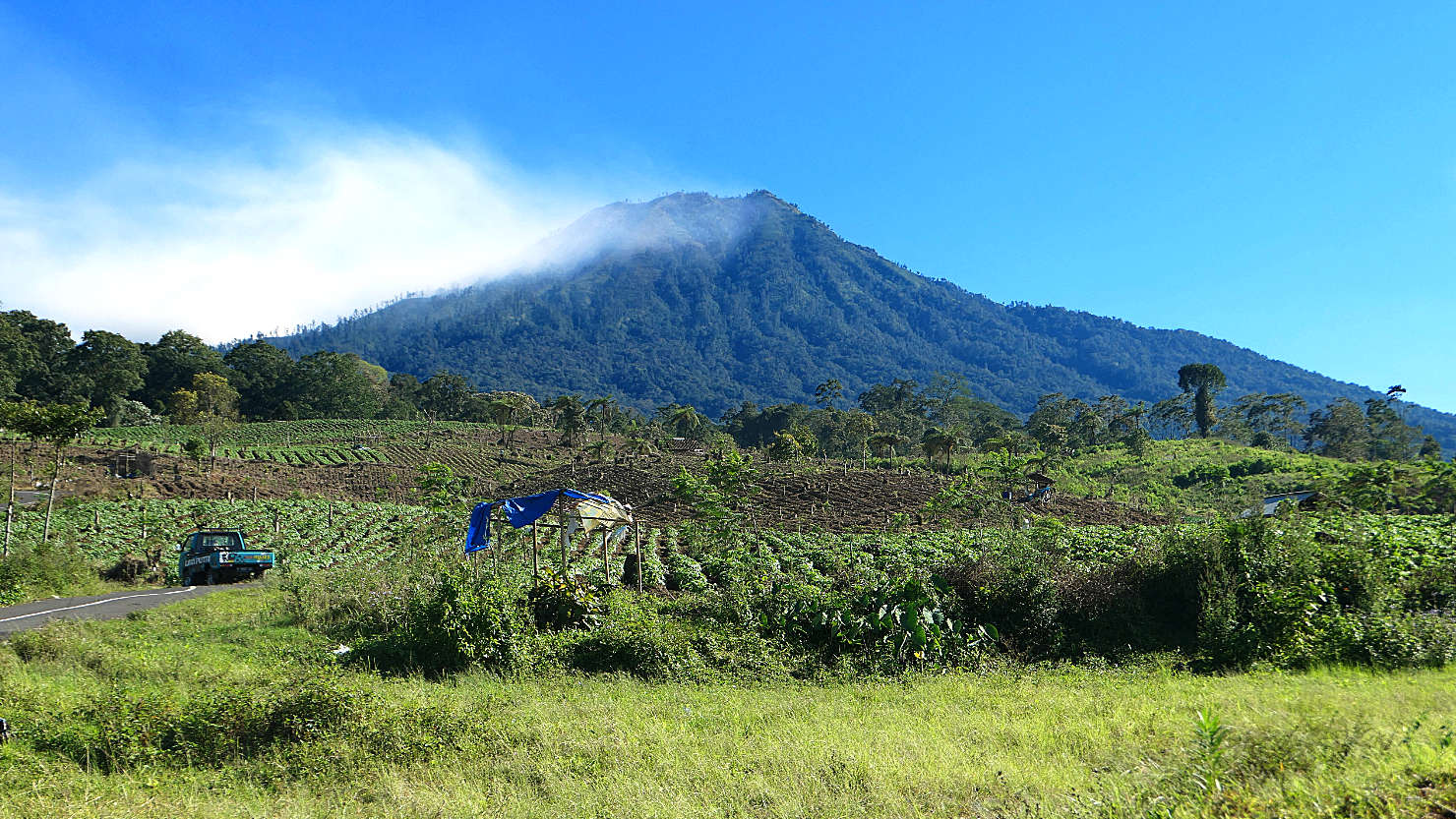
View of Mt Merapi from a local coffee shack. Mt Ijen, Indonesia (Java).

Large heads of cabbage growing in the fields. Mt Ijen, Indonesia (Java).
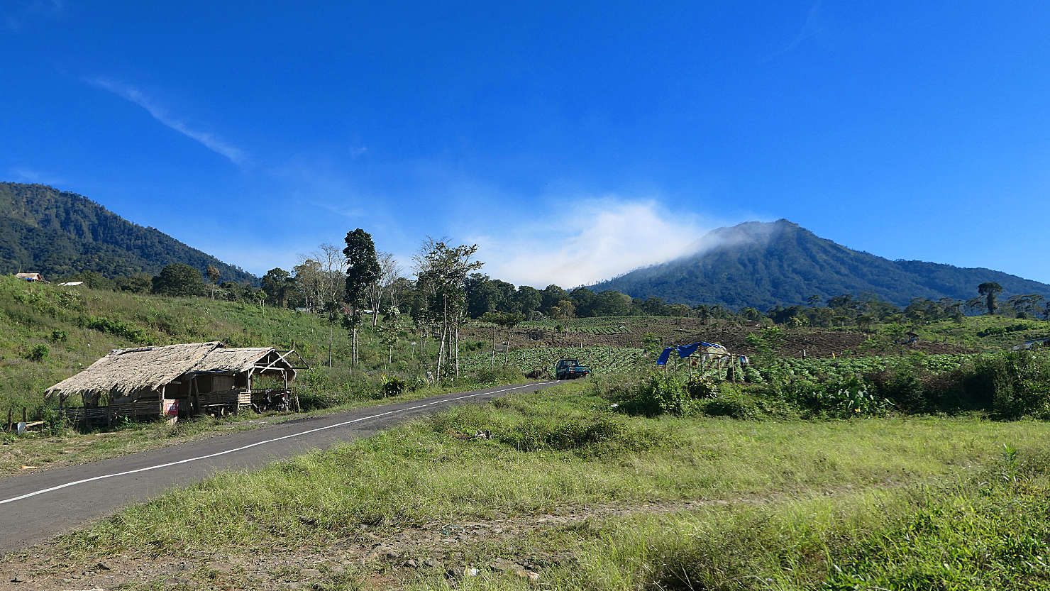
Mt Merapi and the cloud covered Mt Ijen as seen from the local coffee shack. Mt Ijen, Indonesia (Java).

The local Ijen coffee shack where we stopped for coffee after our Ijen hike. This photo also includes the private car we had for our Bromo and Ijen trips. Mt Ijen, Indonesia (Java).
Mt Ijen (Java)

Yogyakarta, Indonesia (Java)

Panorama of the Borobudur Temple. Yogyakarta, Indonesia (Java).

View of Borobudur Temple as we entered the complex. Yogyakarta, Indonesia (Java).
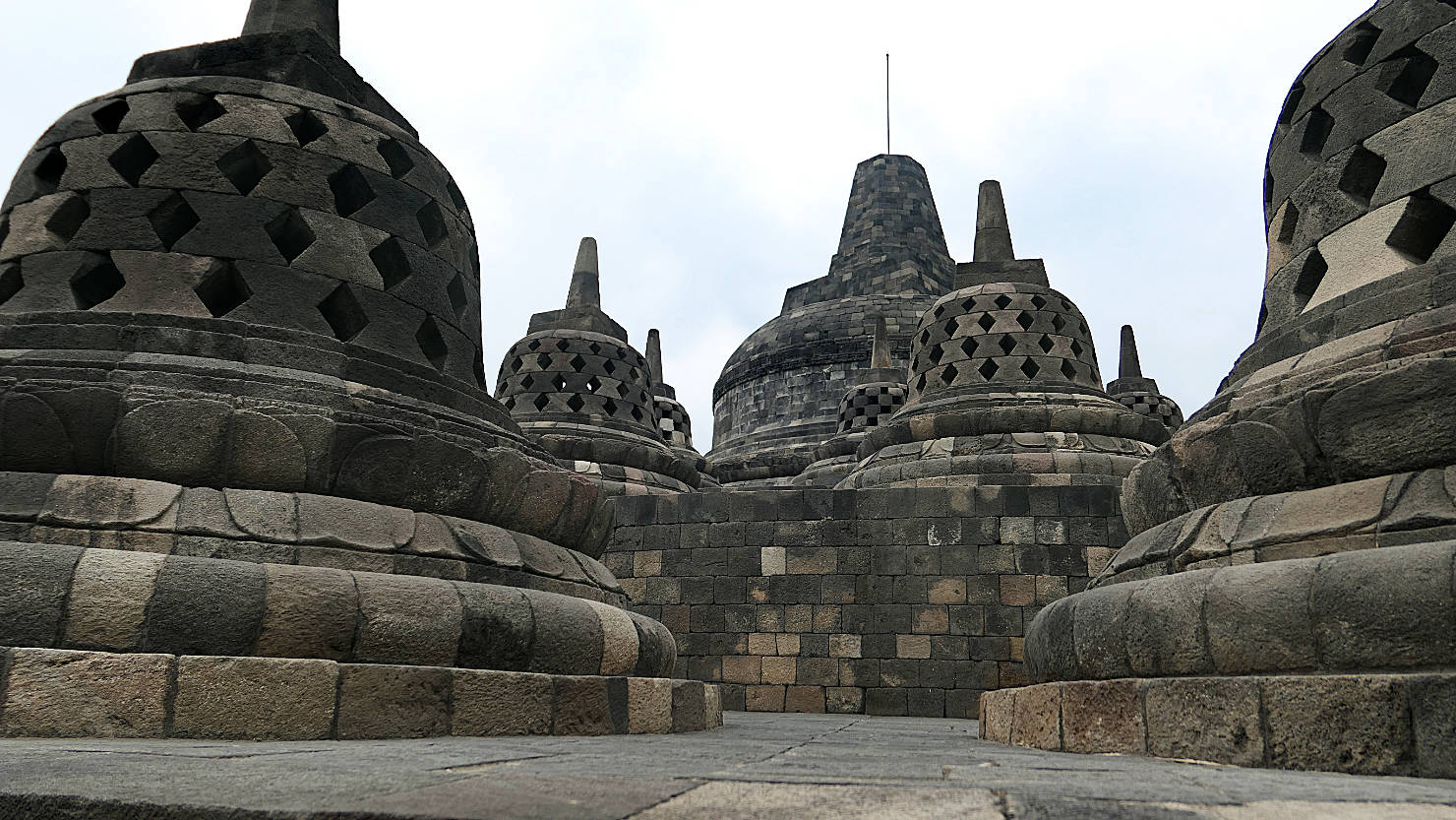
Borobudur bell-shaped stupas. Yogyakarta, Indonesia (Java).

Borobudur bell-shaped stupas. Yogyakarta, Indonesia (Java).
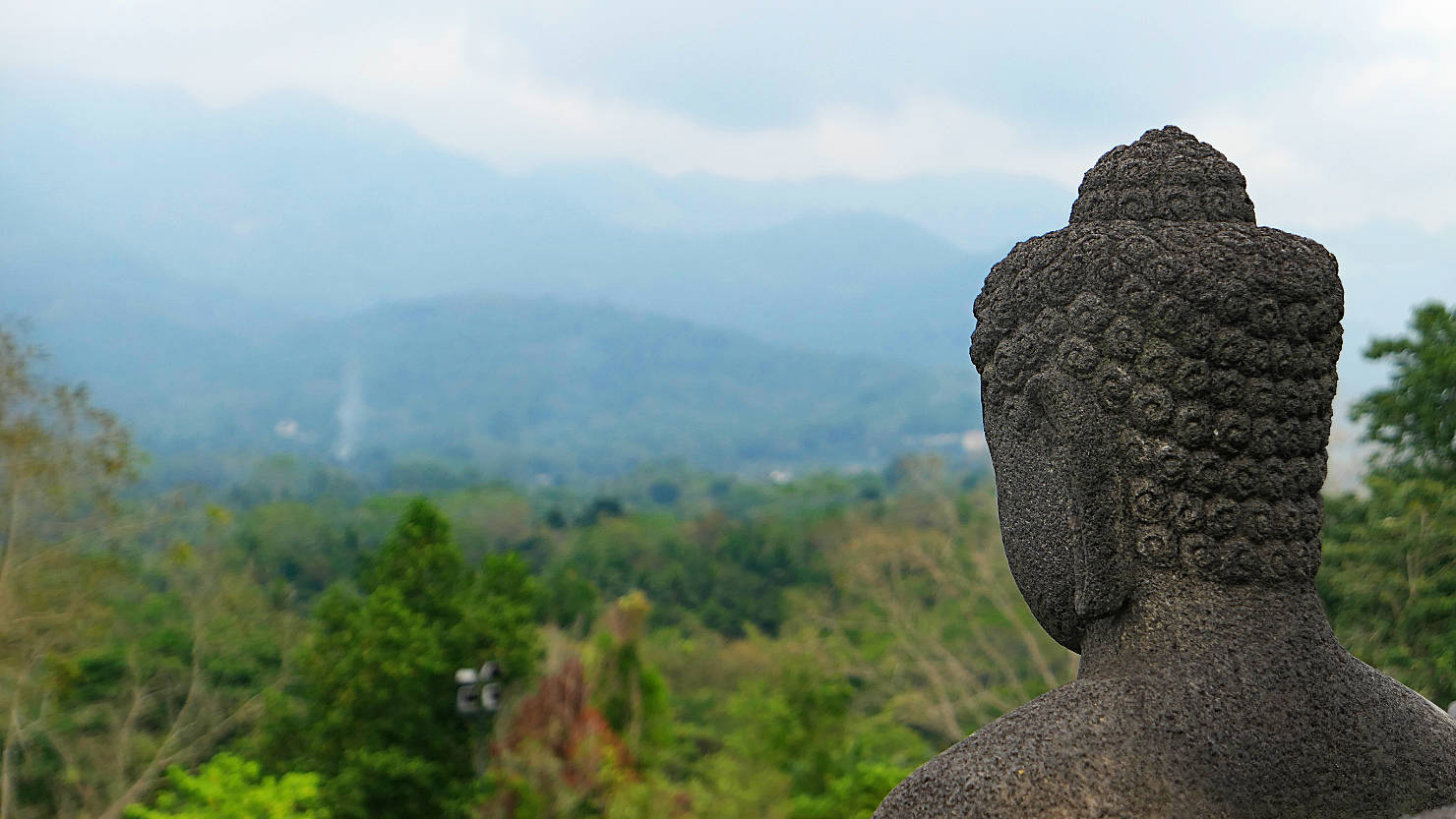
Borobudur buddha statue. Yogyakarta, Indonesia (Java).

Borobudur exterior view. Yogyakarta, Indonesia (Java).

Borobudur exterior detail. Yogyakarta, Indonesia (Java).

Borobudur exterior wall relief. Yogyakarta, Indonesia (Java).

Rick and Alisa among the bell-shaped stupas of the Borobudur Temple. Yogyakarta, Indonesia (Java).

Borobudur wall relief detail. Yogyakarta, Indonesia (Java).
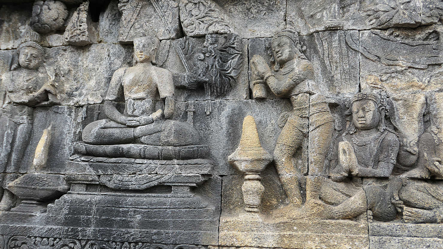
Borobudur wall relief detail. Yogyakarta, Indonesia (Java).

Close-up of one of the buddhas which sits in each of the Borobudur bell-shaped stupas. Yogyakarta, Indonesia (Java).

Close-up of one of the buddhas which sits in each of the Borobudur bell-shaped stupas. Yogyakarta, Indonesia (Java).
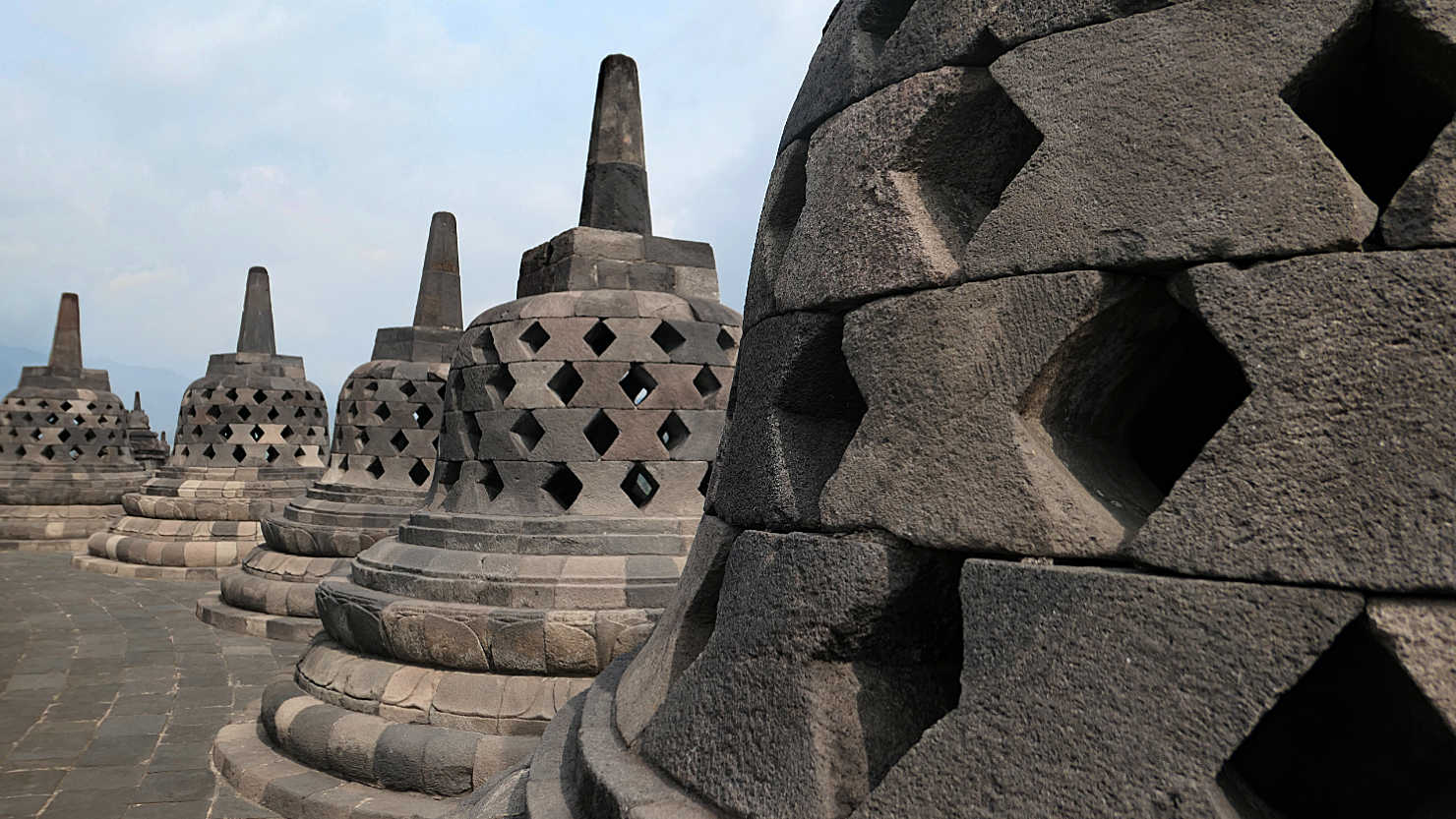
Borobudur bell-shaped stupas. Yogyakarta, Indonesia (Java).

Panorama of Borobudur bell-shaped stupas looking out from the upper level. Yogyakarta, Indonesia (Java).

Upper level view of the Borobudur bell-shaped stupas looking out to the complex entrance. Yogyakarta, Indonesia (Java).
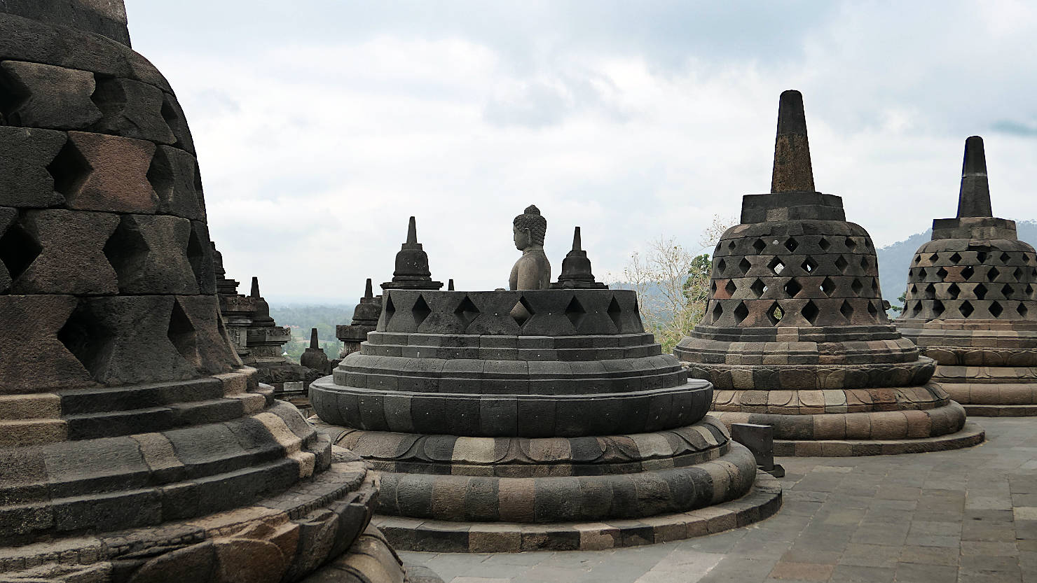
Borobudur bell-shaped stupa showing one of the buddhas as it sits inside. Yogyakarta, Indonesia (Java).
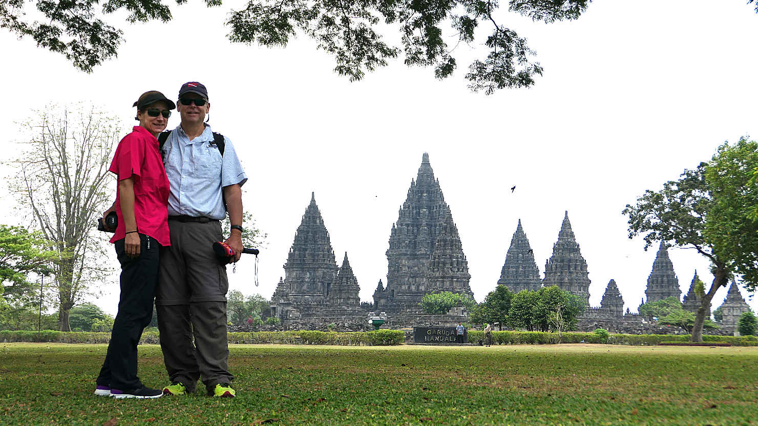
Rick and Alisa at the entrance to the Prambanan Temple. Yogyakarta, Indonesia (Java).
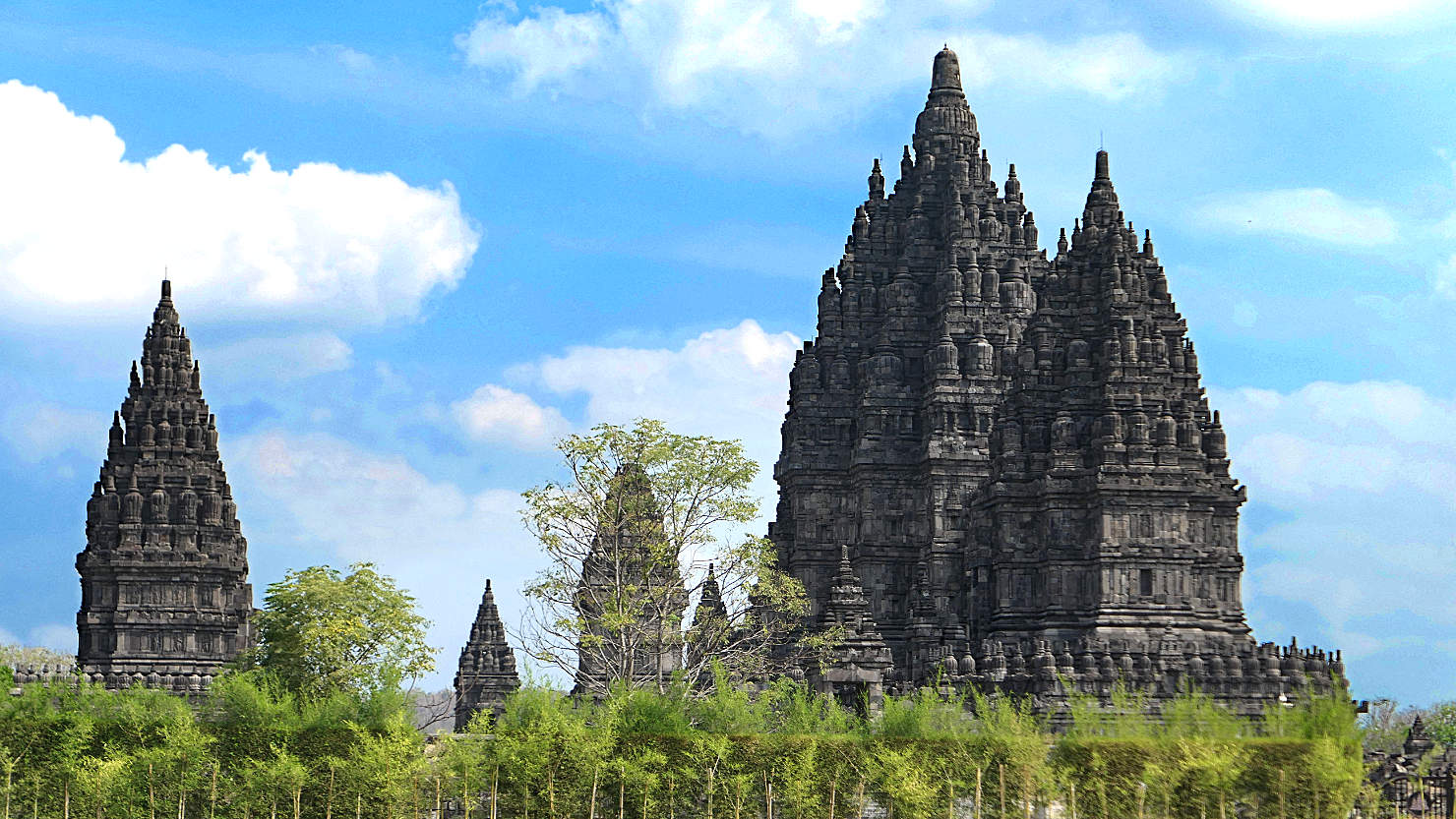
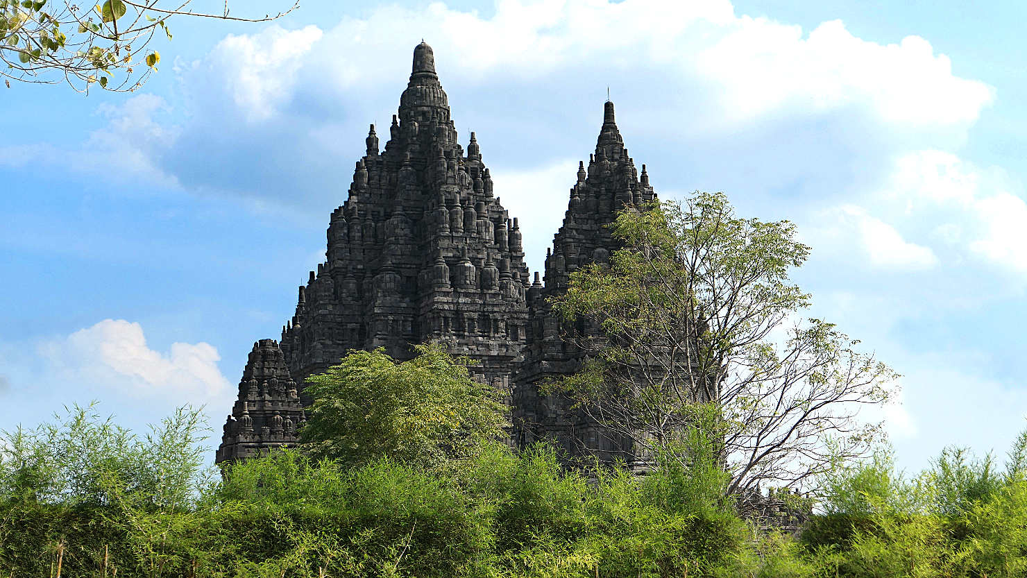
Prambanan Temple. Yogyakarta, Indonesia (Java).

Rick and Alisa with the Prambanan Temple in the distance. Yogyakarta, Indonesia (Java).

Prambanan's largest central building which is surrounded by smaller individual temples. Yogyakarta, Indonesia (Java).

Prambanan's largest central building which is surrounded by smaller individual temples. Yogyakarta, Indonesia (Java).

Closer view of Prambanan's largest central building. Yogyakarta, Indonesia (Java).

Prambanan brahma sculpture which sits inside one of the individual temple rooms. Yogyakarta, Indonesia (Java).
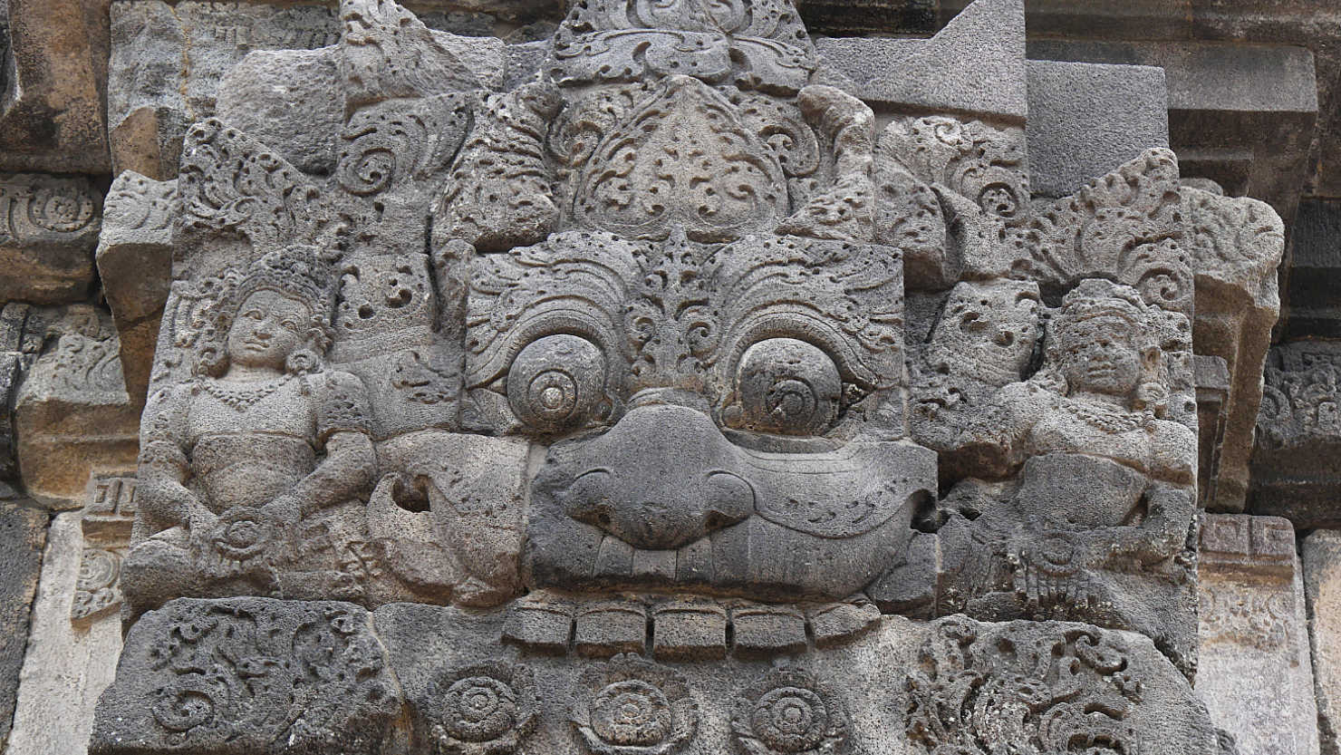
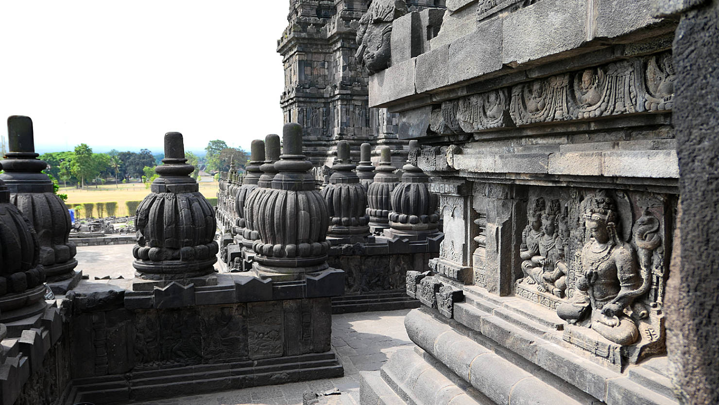
Prambanan relief detail close-up. Yogyakarta, Indonesia (Java).
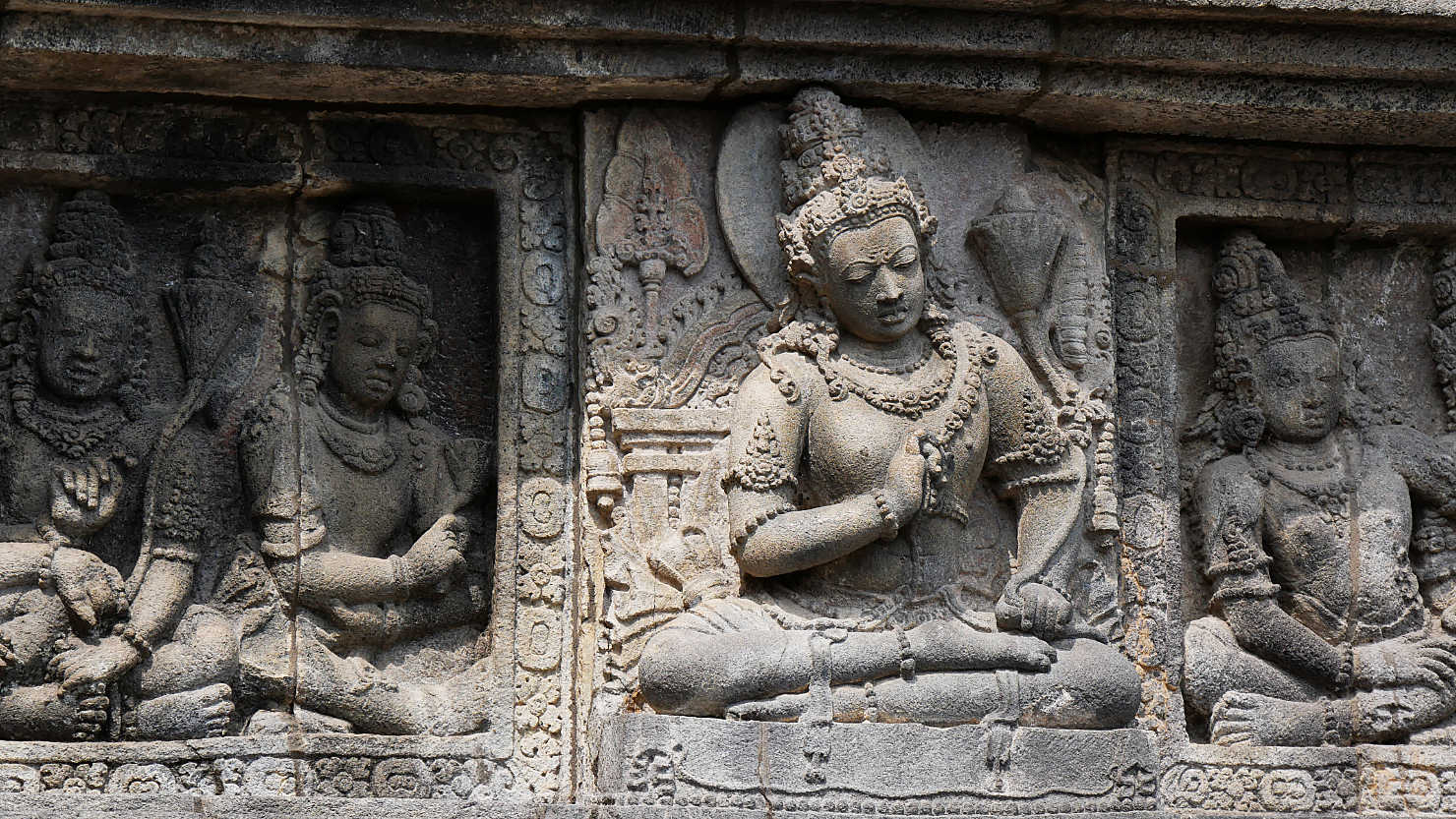
Prambanan relief detail close-up. Yogyakarta, Indonesia (Java).
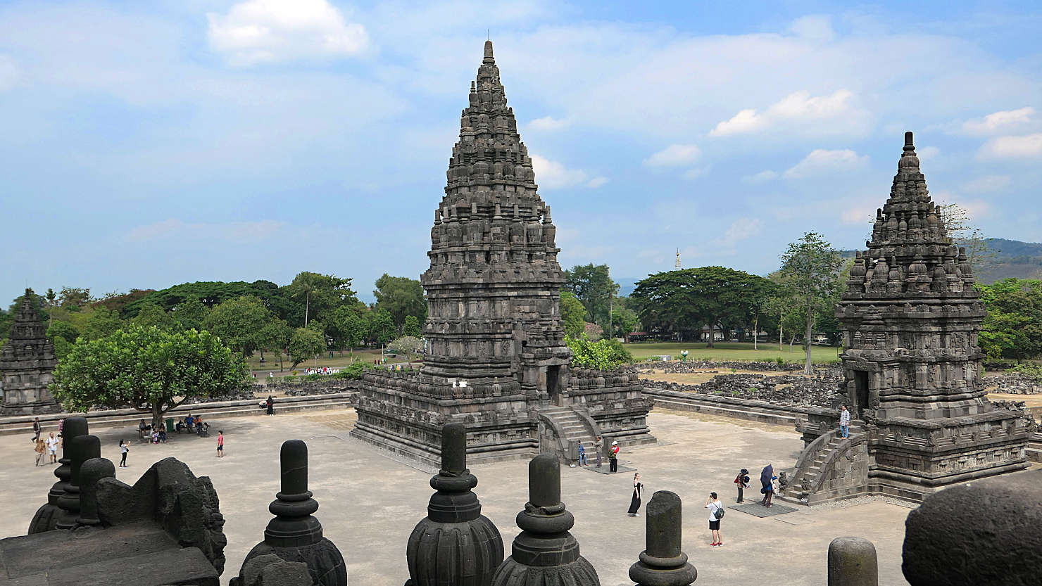
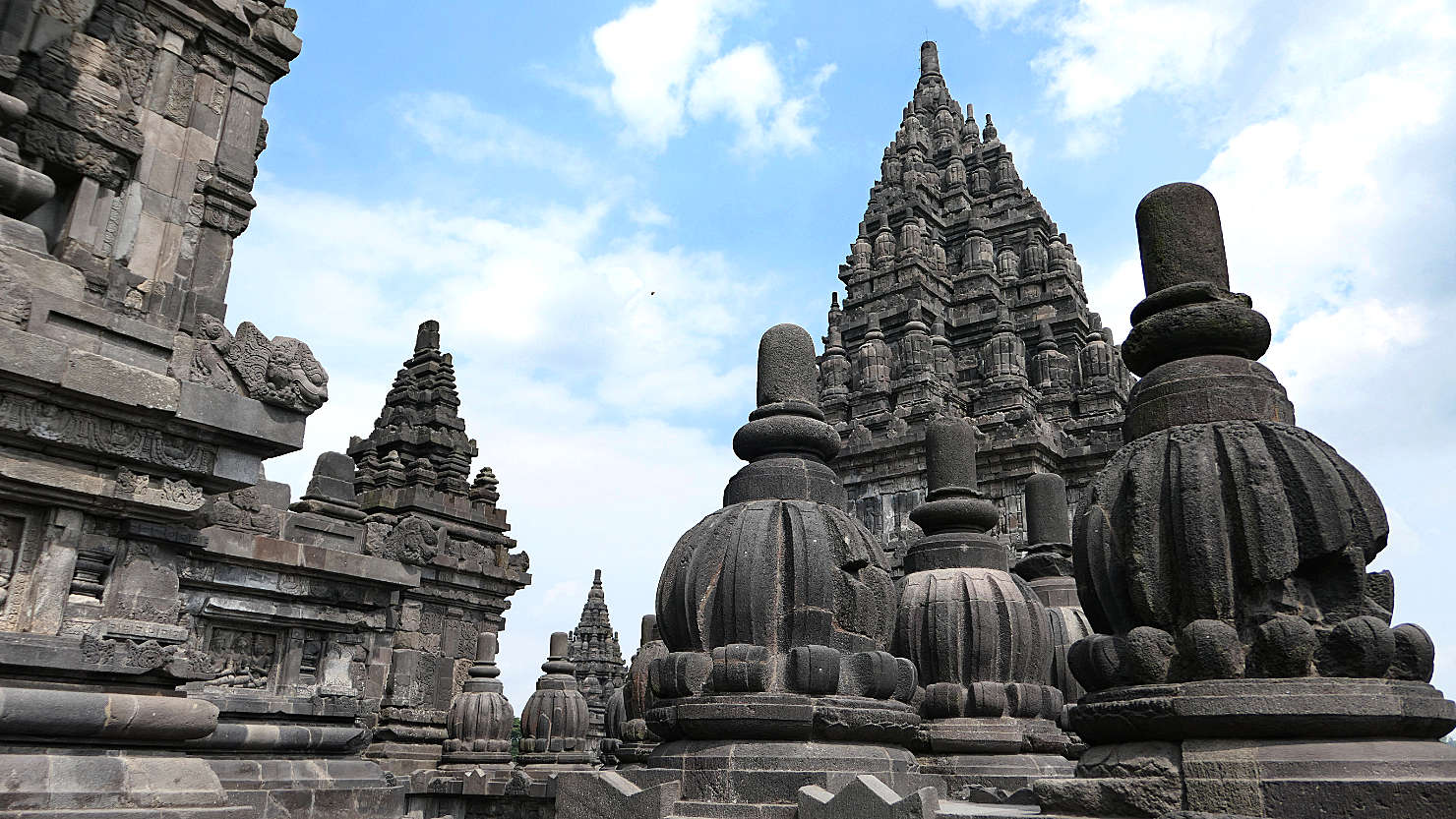
Small individual temples within Prambanan. Yogyakarta, Indonesia (Java).
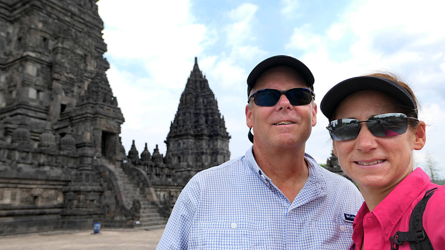
Rick and Alisa inside the Prambanan central compound. Yogyakarta, Indonesia (Java).
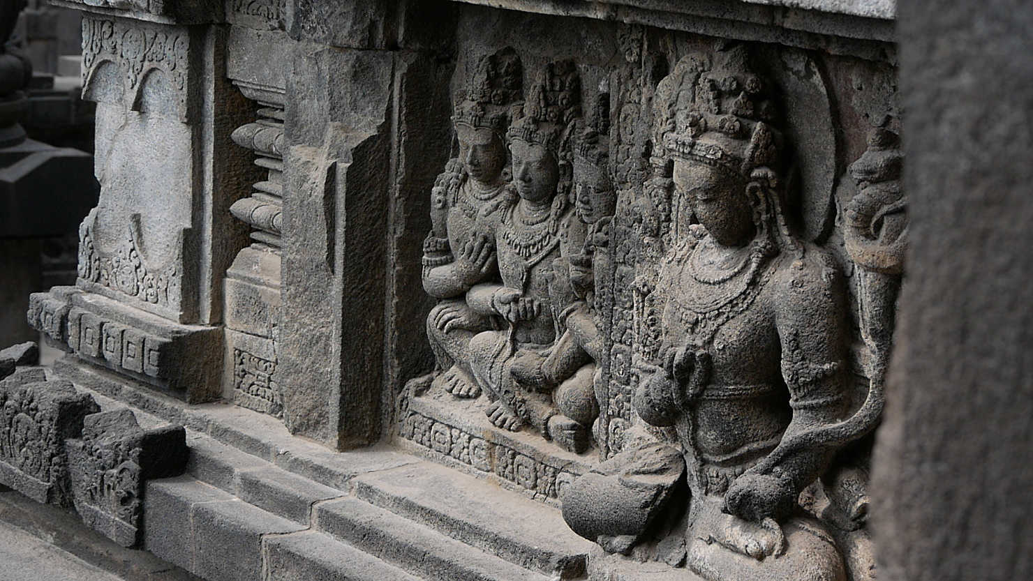
Prambanan relief detail close-up. Yogyakarta, Indonesia (Java).

Prambanan elephant sculpture which sits inside one of the individual temple rooms. Yogyakarta, Indonesia (Java).
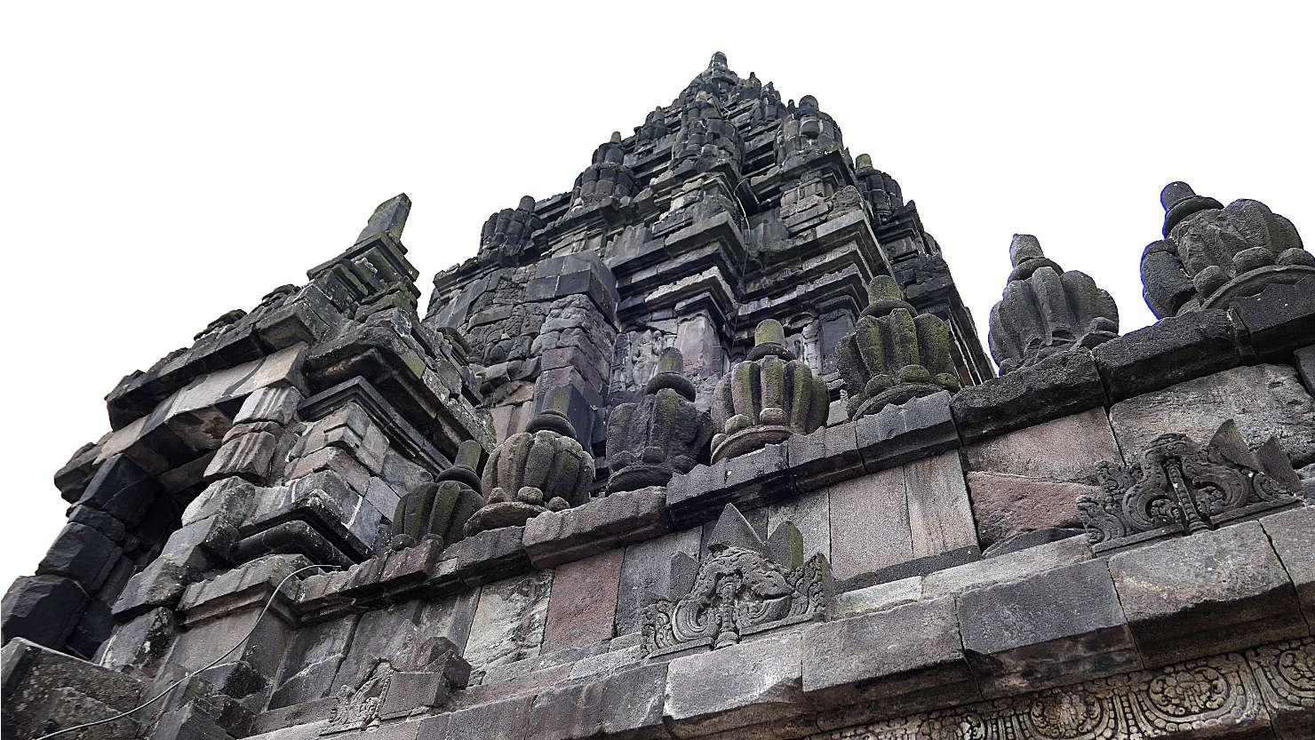
Shiva Temple, the largest central building at Prambanan. Yogyakarta, Indonesia (Java).

Looking up at the Shiva Temple, the largest central building at Prambanan. Yogyakarta, Indonesia (Java).
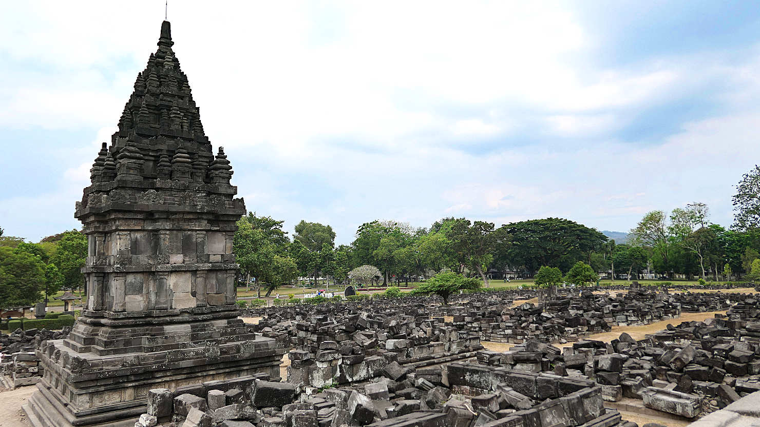
One of the small individual temples surrounded by damage from the 2006 earthquake. Yogyakarta, Indonesia (Java).
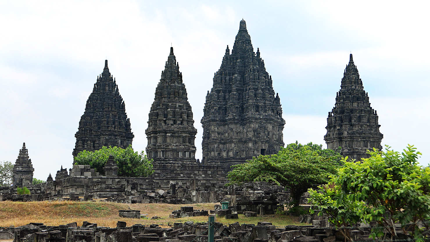
View of the Prambanan Temple surrounded by piles of rubble from the 2006 earthquake damage. Yogyakarta, Indonesia (Java).

Prambanan Temple surrounded by piles of rubble and debris from the 2006 earthquake damage. Yogyakarta, Indonesia (Java).
Prambanan's largest central building which is surrounded by smaller individual temples. Yogyakarta, Indonesia (Java).
Prambanan temple detail. Yogyakarta, Indonesia (Java).
Prambanan temple relief detail. Yogyakarta, Indonesia (Java).
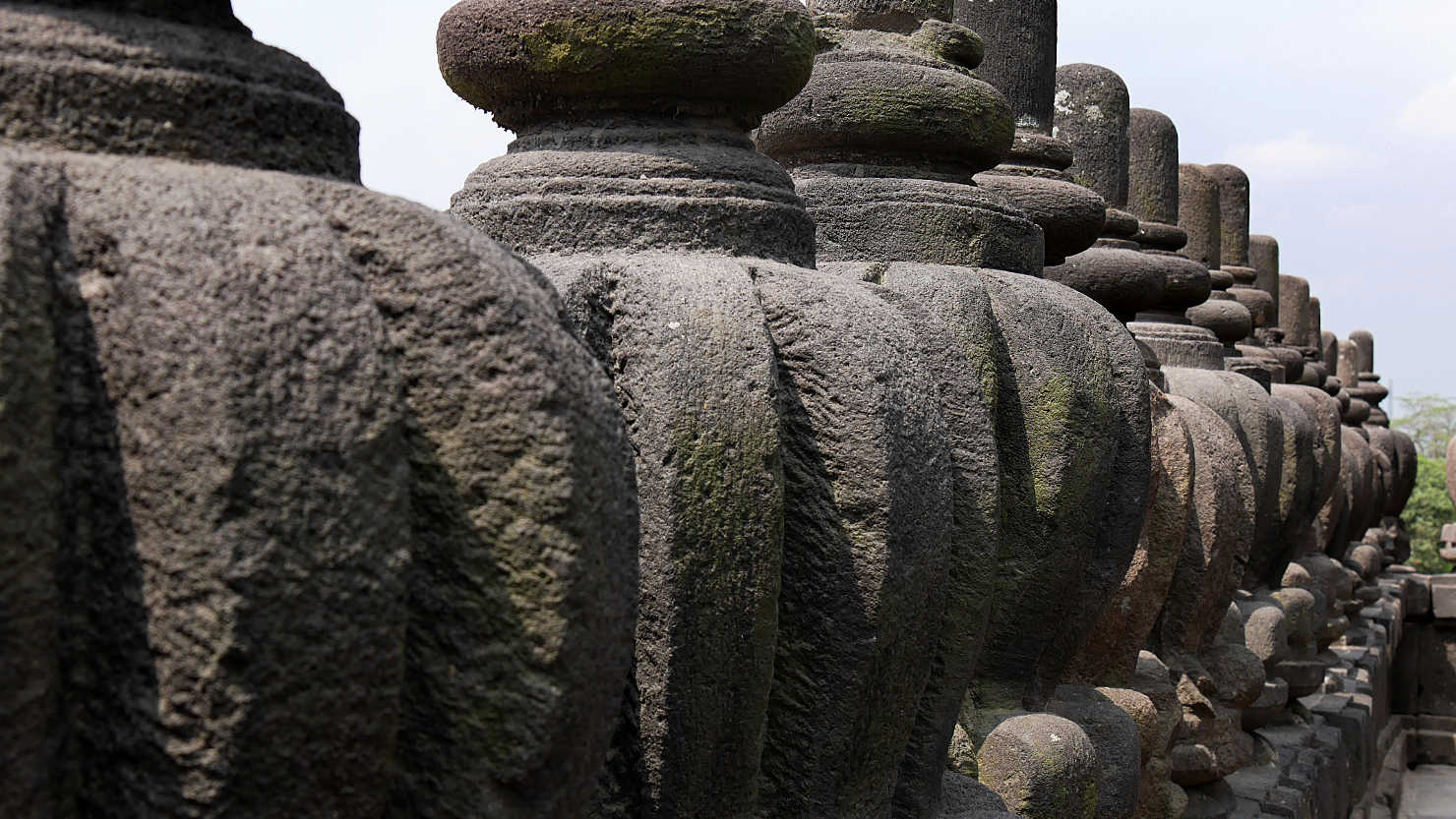
Prambanan stone detail. Yogyakarta, Indonesia (Java).

Prambanan temple detail. Yogyakarta, Indonesia (Java).
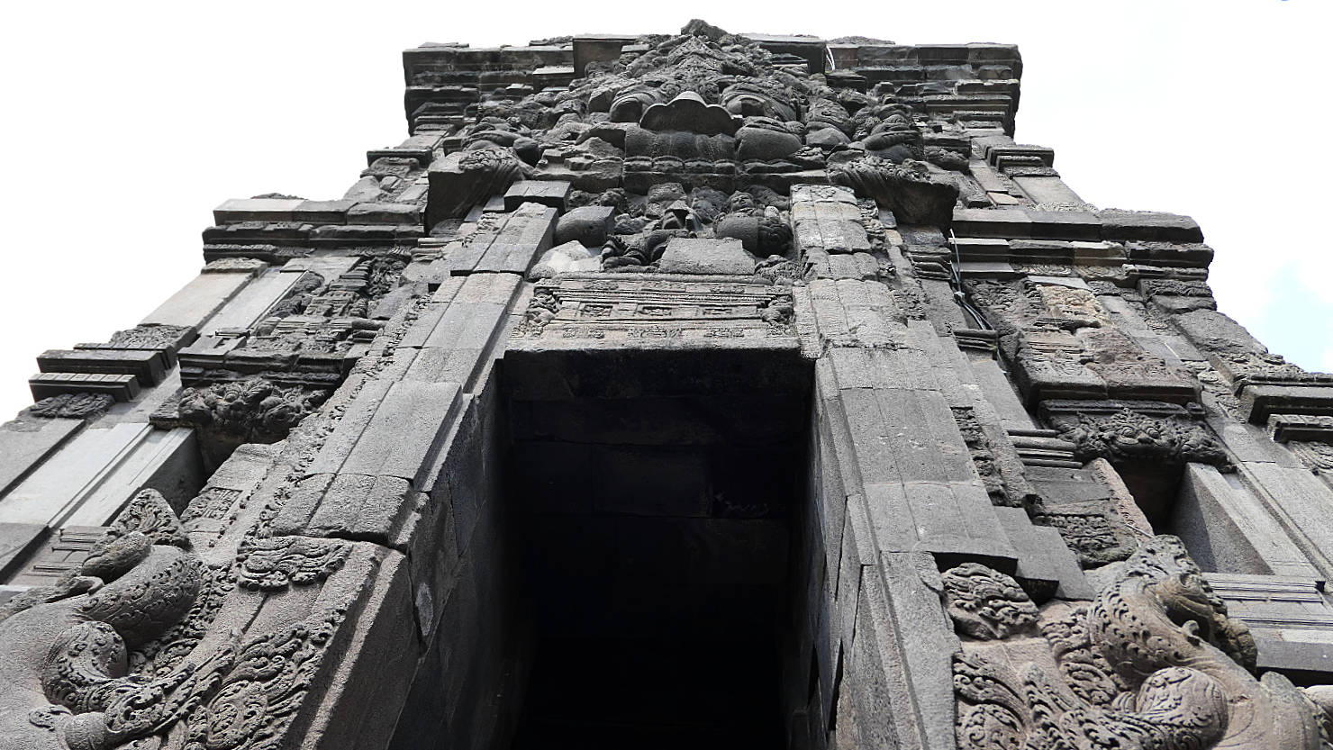
Prambanan temple doorway and detail. Yogyakarta, Indonesia (Java).
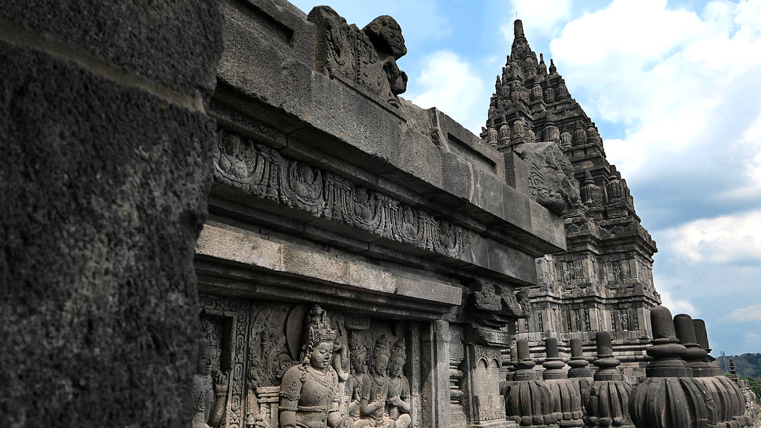
Prambanan temple relief detail. Yogyakarta, Indonesia (Java).

One of Prambanan's smaller individual temples. Yogyakarta, Indonesia (Java).
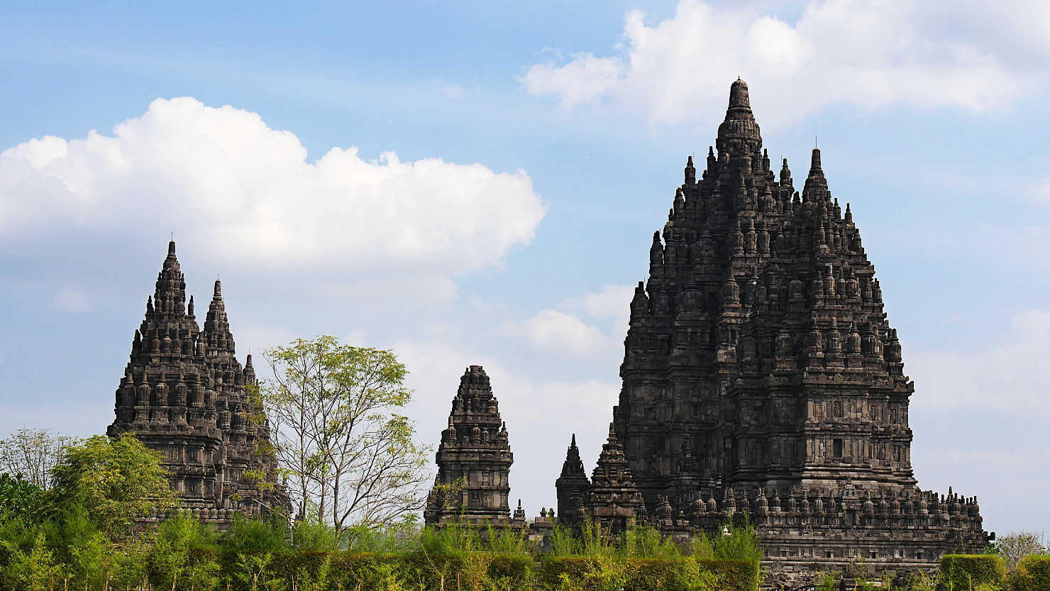
Prambanan temple buildings. Yogyakarta, Indonesia (Java).

Prambanan temple buildings surrounded by piles of rubble and debris from the 2006 earthquake damage. Yogyakarta, Indonesia (Java).
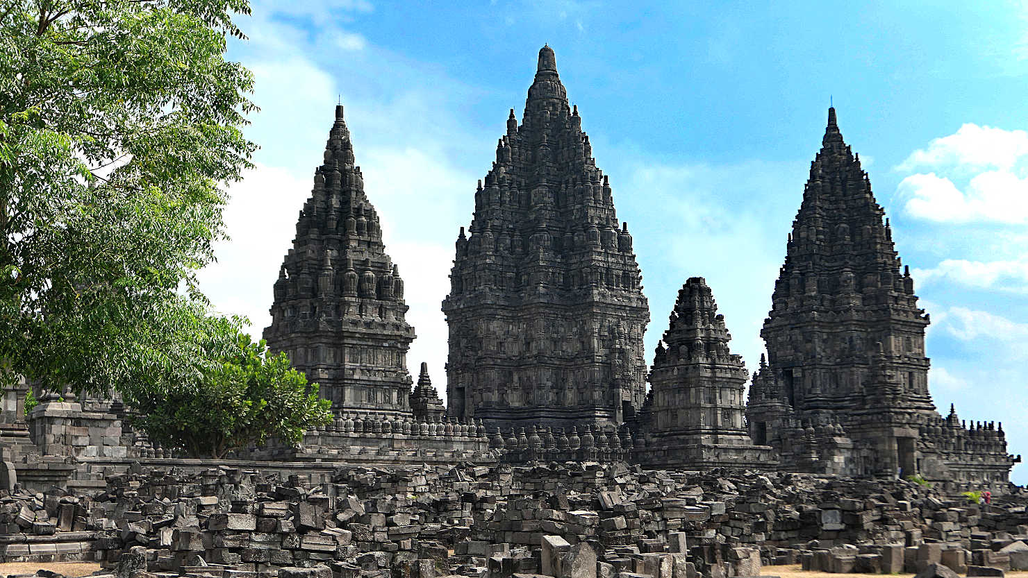
Prambanan temple buildings surrounded by piles of rubble and debris from the 2006 earthquake damage. Yogyakarta, Indonesia (Java).
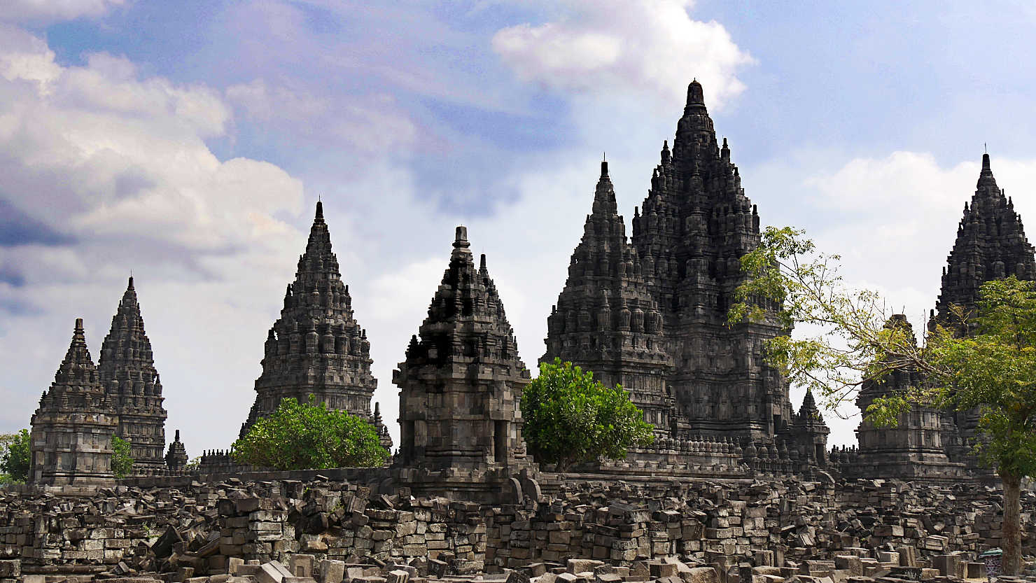
Prambanan temple buildings surrounded by piles of rubble and debris from the 2006 earthquake damage. Yogyakarta, Indonesia (Java).

Prambanan temple buildings surrounded by piles of rubble and debris from the 2006 earthquake damage. Yogyakarta, Indonesia (Java).
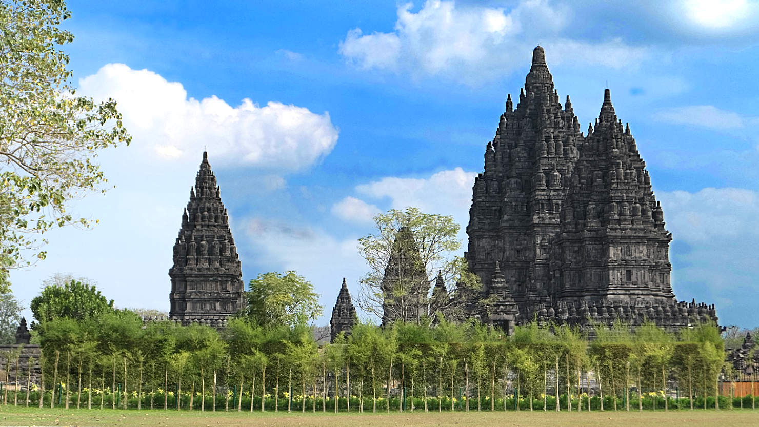
Prambanan temple buildings. Yogyakarta, Indonesia (Java).
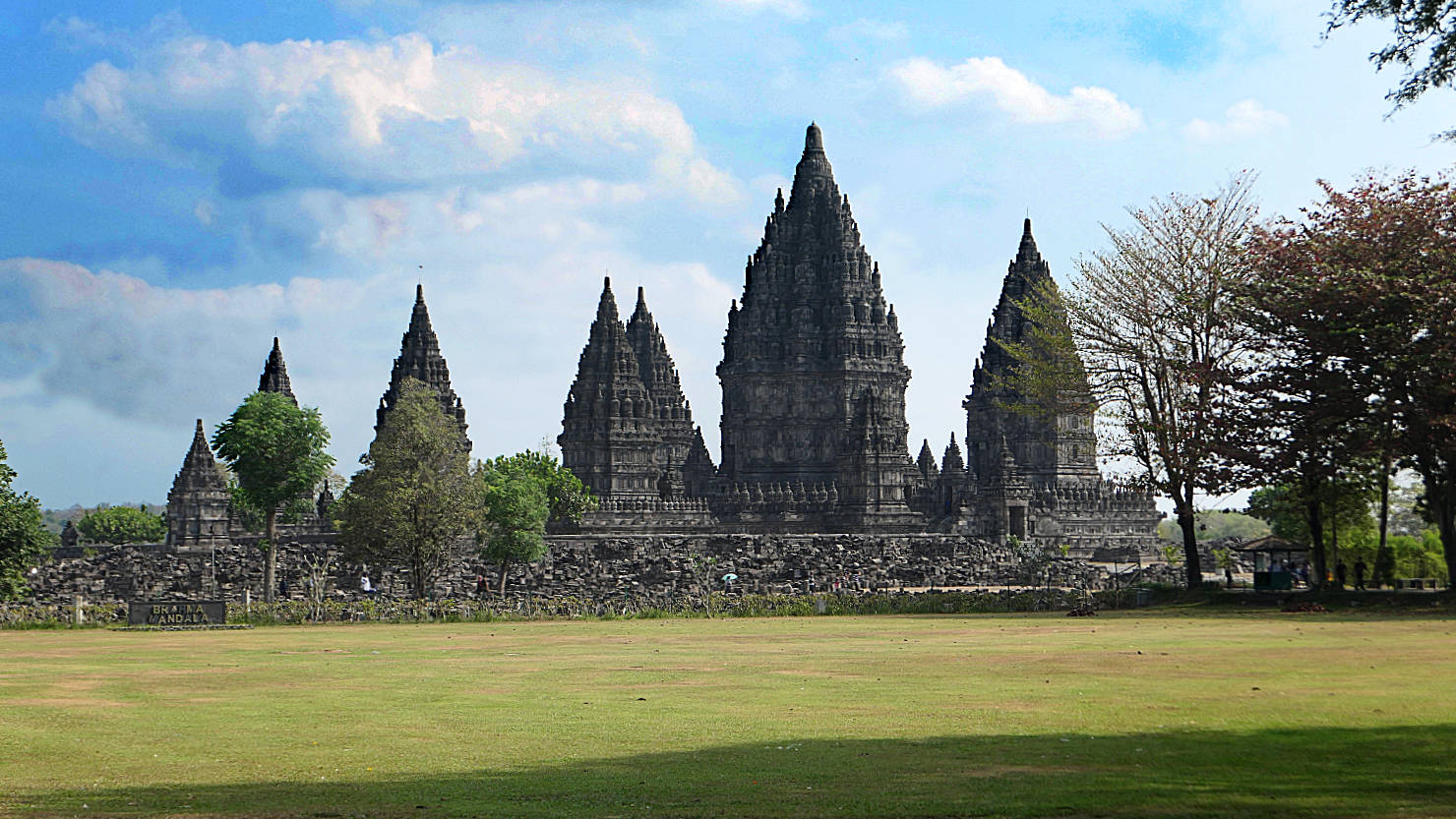
Prambanan temple buildings view from the exit. Yogyakarta, Indonesia (Java).

Owls seen at the Prambanan Temple. Yogyakarta, Indonesia (Java).

Kopi Luwak coffee house. Yogyakarta, Indonesia (Java).
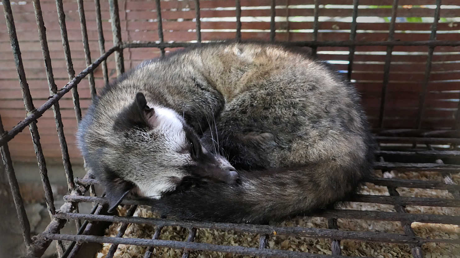
The palm civet is the infamous animal that includes in it's diet 100% ripe coffee cherries. Yogyakarta, Indonesia (Java).
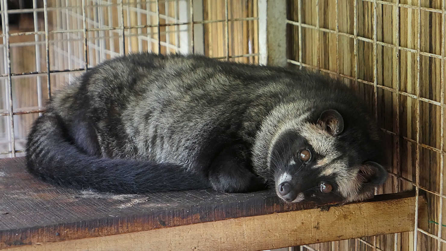
The palm civet is the infamous animal that includes in it's diet 100% ripe coffee cherries. Yogyakarta, Indonesia (Java).
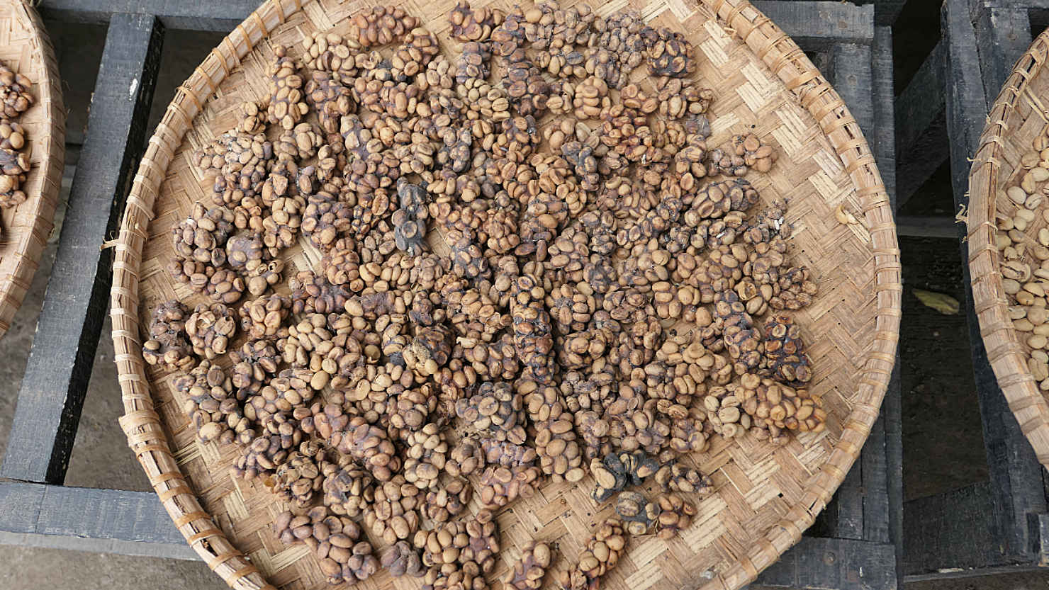
Coffee beans after they've been digested by a palm civet. Yogyakarta, Indonesia (Java).
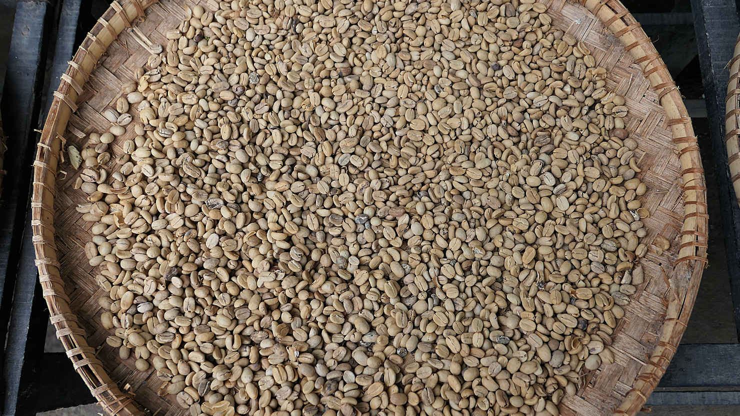
Coffee beans after they've been washed. Yogyakarta, Indonesia (Java).

Fresh cups of Robusta and Arabica Kopi Luwak coffee. Yogyakarta, Indonesia (Java).
Local coffee house Kopi Luwak sign. Yogyakarta, Indonesia (Java).
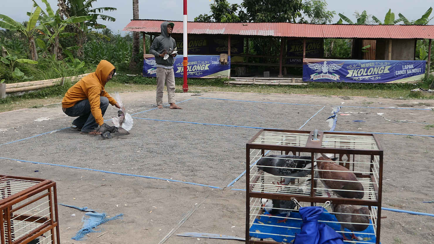
Pigeon race practice. Yogyakarta, Indonesia (Java).

Pigeon race practice. Yogyakarta, Indonesia (Java).
Yogyakarta (Java)
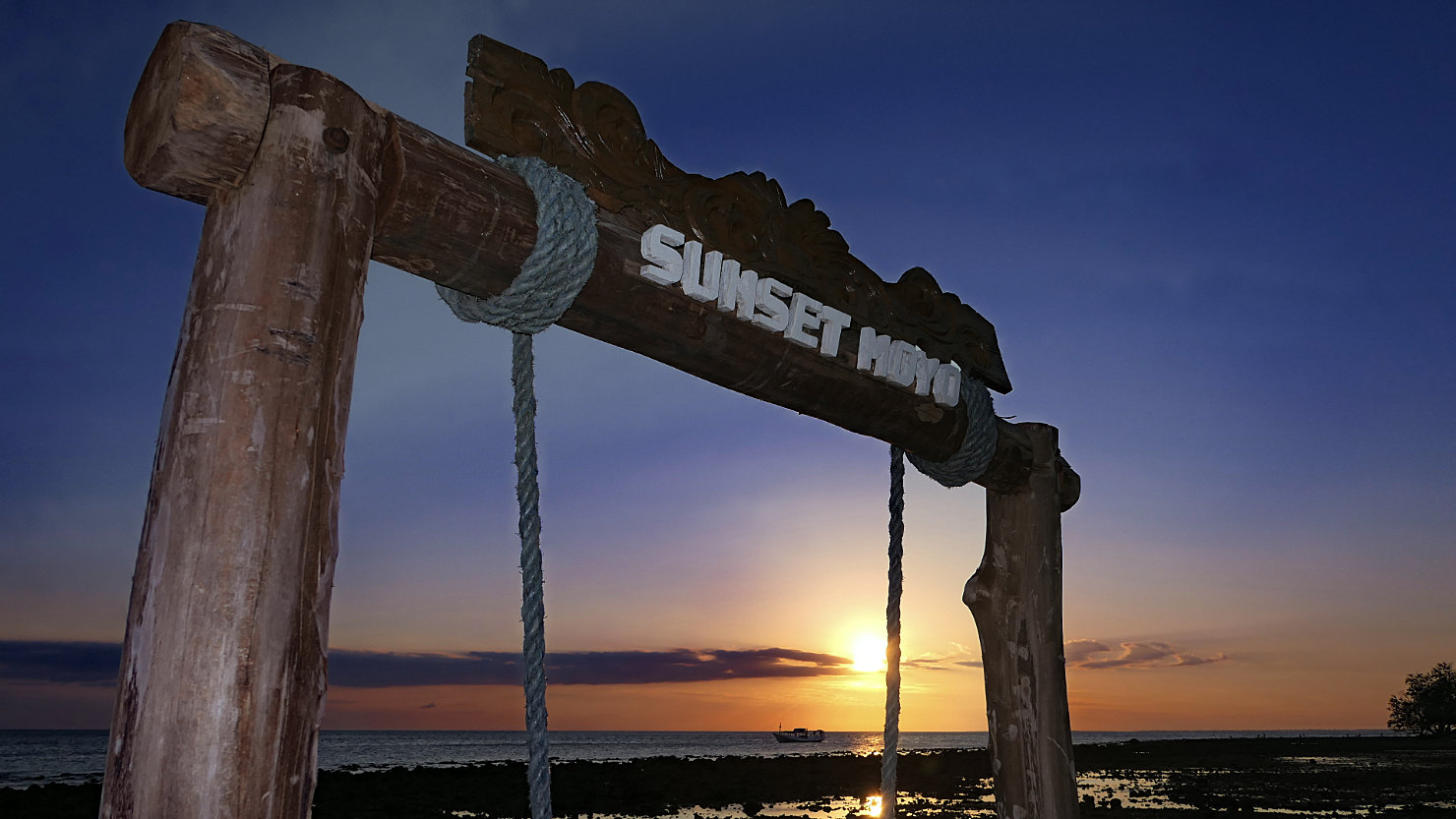
Moyo Island, Indonesia (Sumbawa)

Local supply boat and also our ride from Sumbawa Besar to Moyo Island. Moyo Island, Indonesia (Sumbawa).
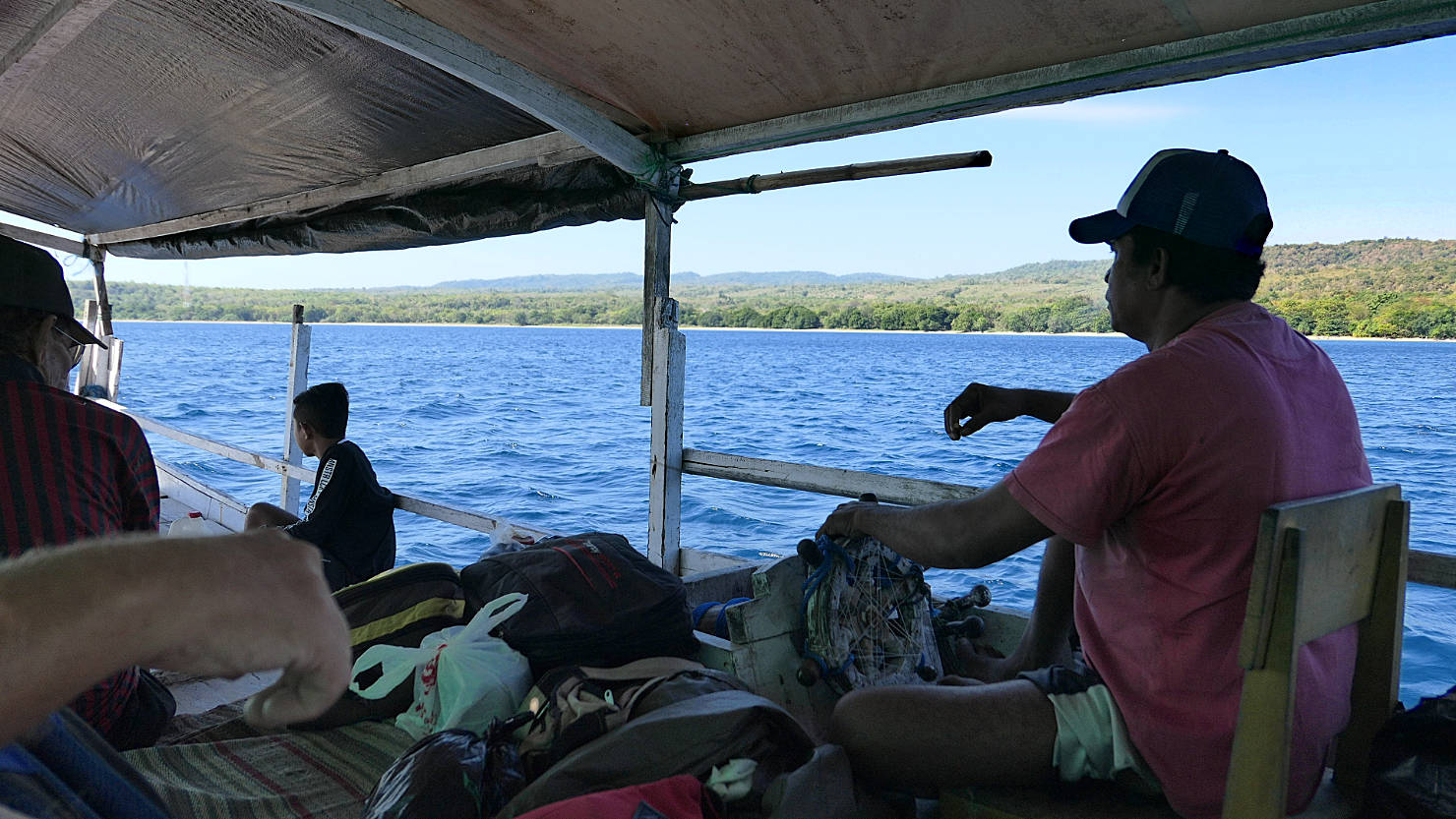
Local supply boat captain. Moyo Island, Indonesia (Sumbawa).
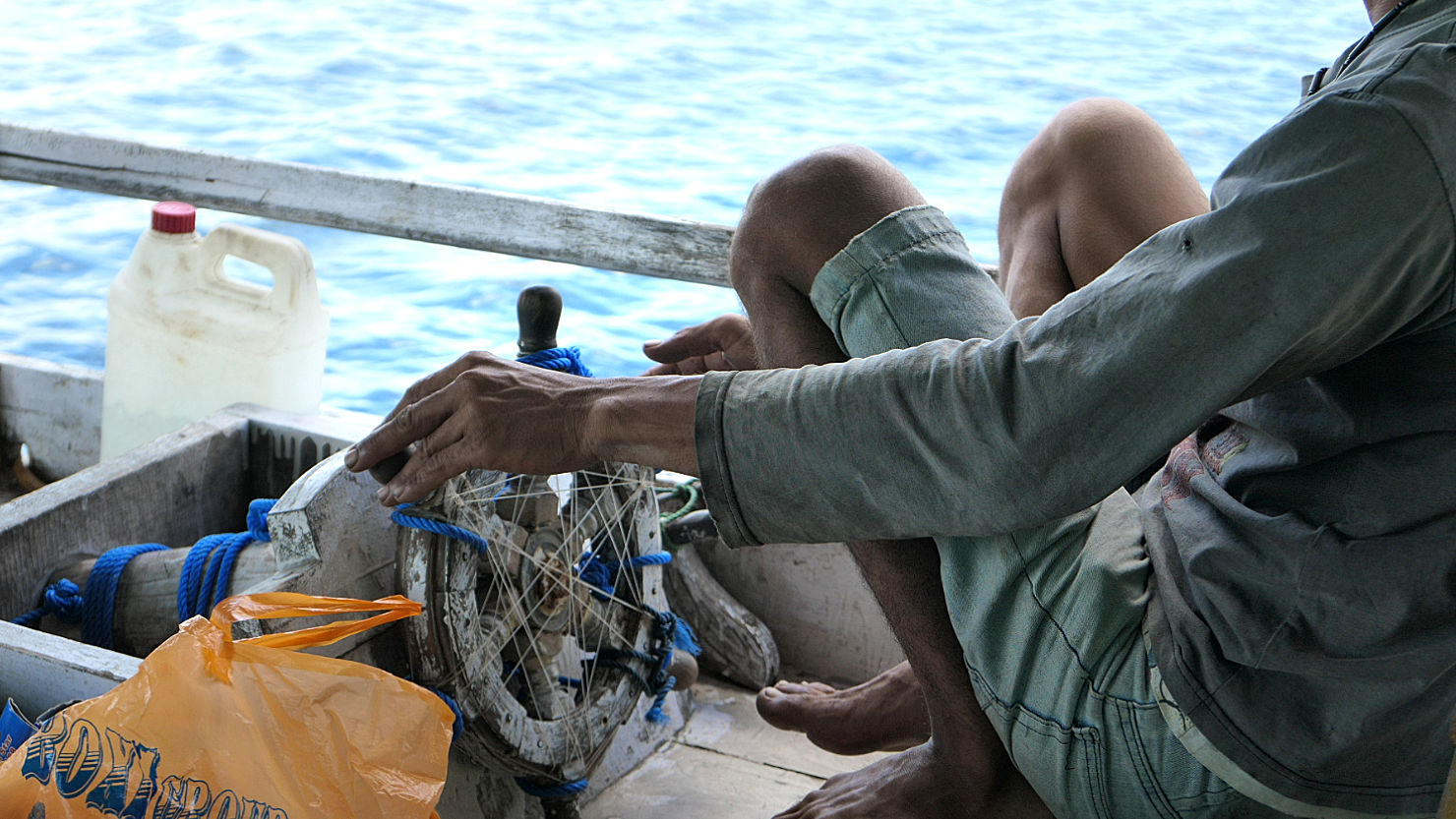
Captain's chair and all important ships wheel. Moyo Island, Indonesia (Sumbawa).
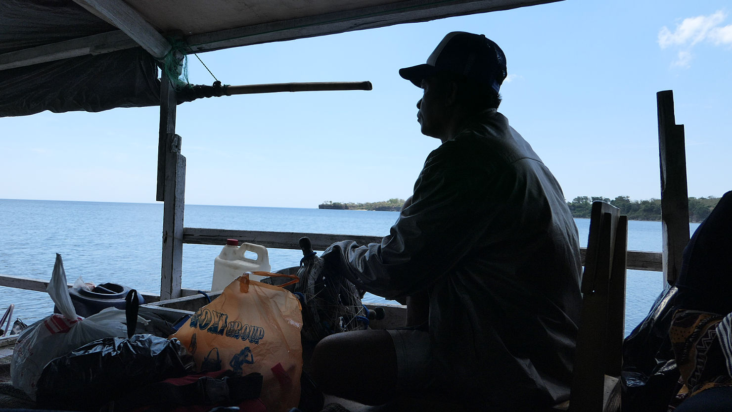
Local supply boat captain. Moyo Island, Indonesia (Sumbawa).

Our boat arriving at Moyo Island. Moyo Island, Indonesia (Sumbawa).
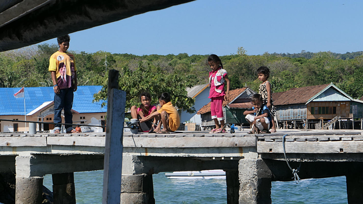
Arriving at Moyo Island. Local kids (family members of the boat crew) waiting to greet everyone. Moyo Island, Indonesia (Sumbawa).
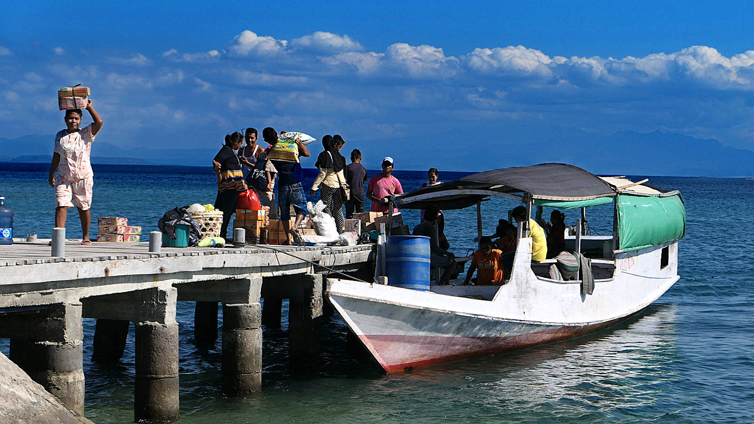
Local supply boat and also our ride to the island. Moyo Island, Indonesia (Sumbawa).
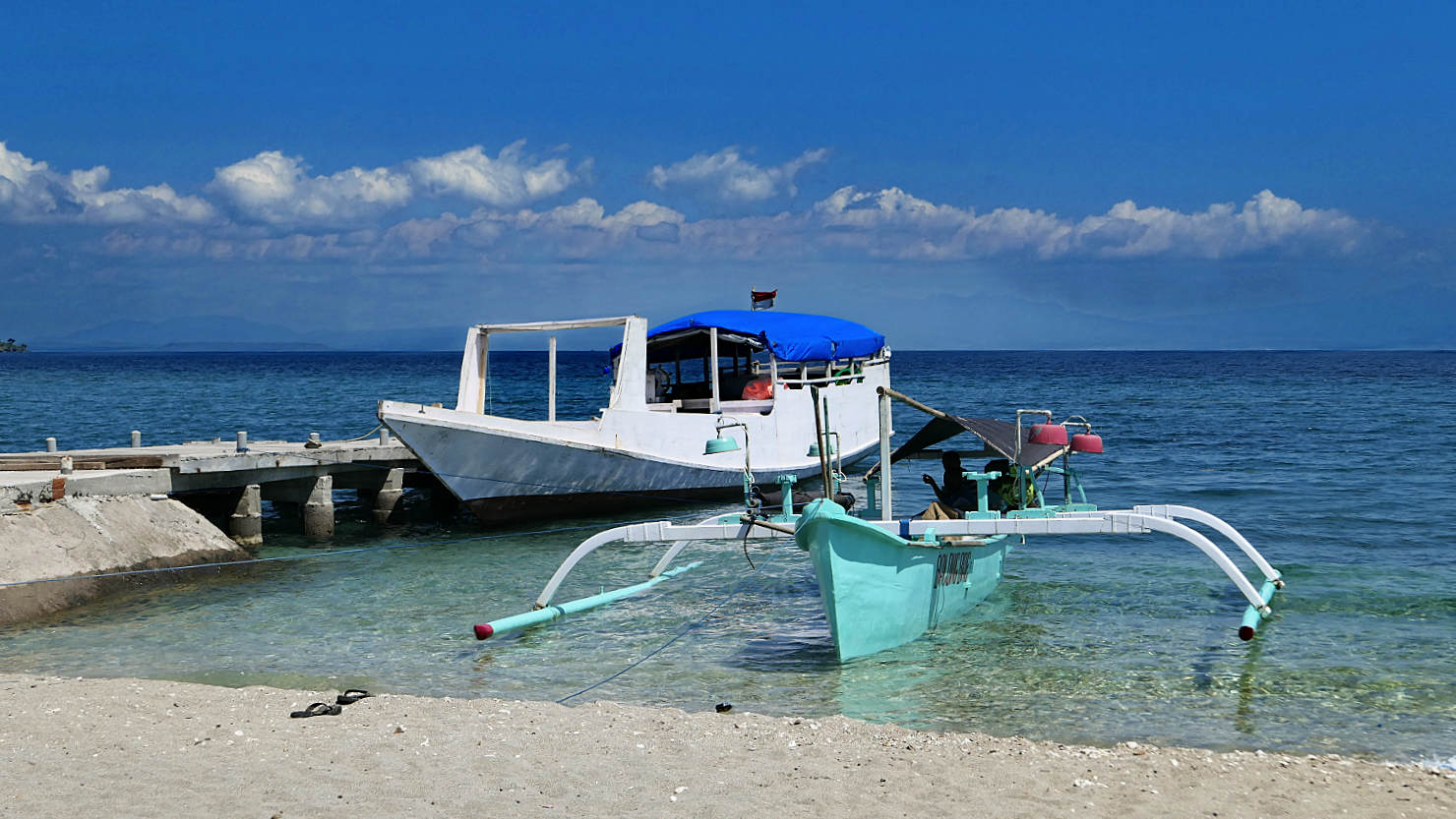
Moyo Island Jetty. Moyo Island, Indonesia (Sumbawa).
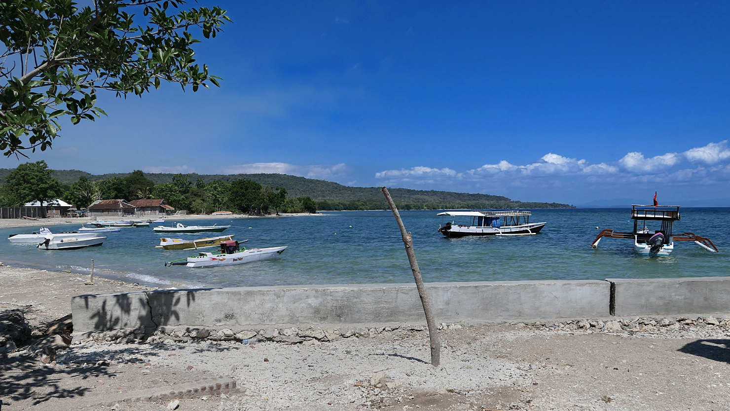
Several local boats anchored up at the jetty. Moyo Island, Indonesia (Sumbawa).
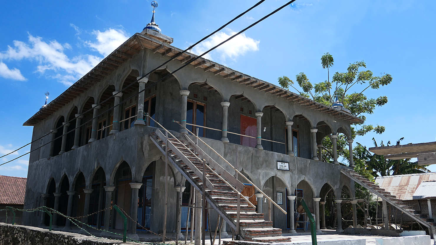
New mosque under construction. They install the very loud speaker on the top with only the shell of the building and then it's good to start using it. Many of the mosques never get finished. Moyo Island, Indonesia (Sumbawa).
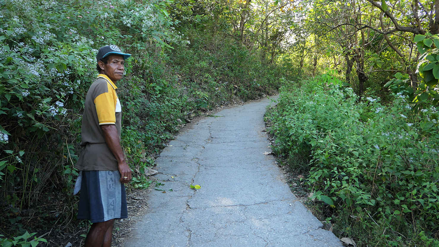
Our local guide, Freddy, leading the way to the Mata Jitu waterfall. Moyo Island, Indonesia (Sumbawa).
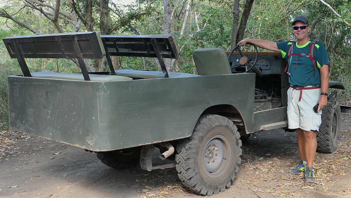
Rick standing next to an old army jeep on our way to Mata Jitu Waterfall. The island's 5 Star resort uses this jeep to drive their guests to the waterfall... We took the much nicer 7 km walk from the beach. Moyo Island, Indonesia (Sumbawa).

Moyo island cashew nut tree. Moyo Island, Indonesia (Sumbawa).
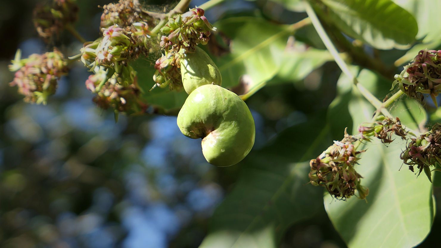
Moyo island cashew nut tree. Moyo Island, Indonesia (Sumbawa).
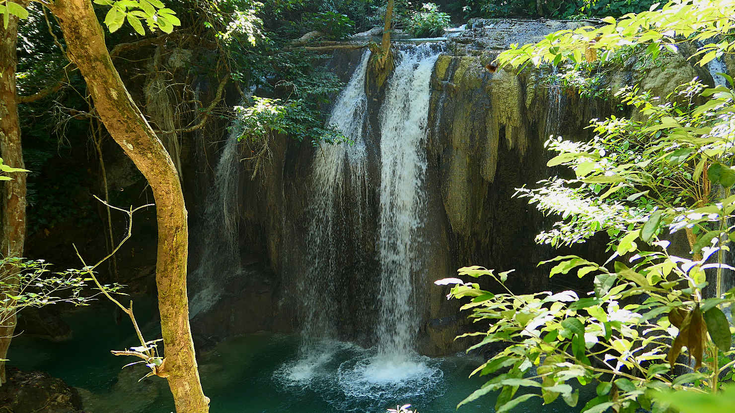
Upper section of Mata Jitu waterfall. Moyo Island, Indonesia (Sumbawa).
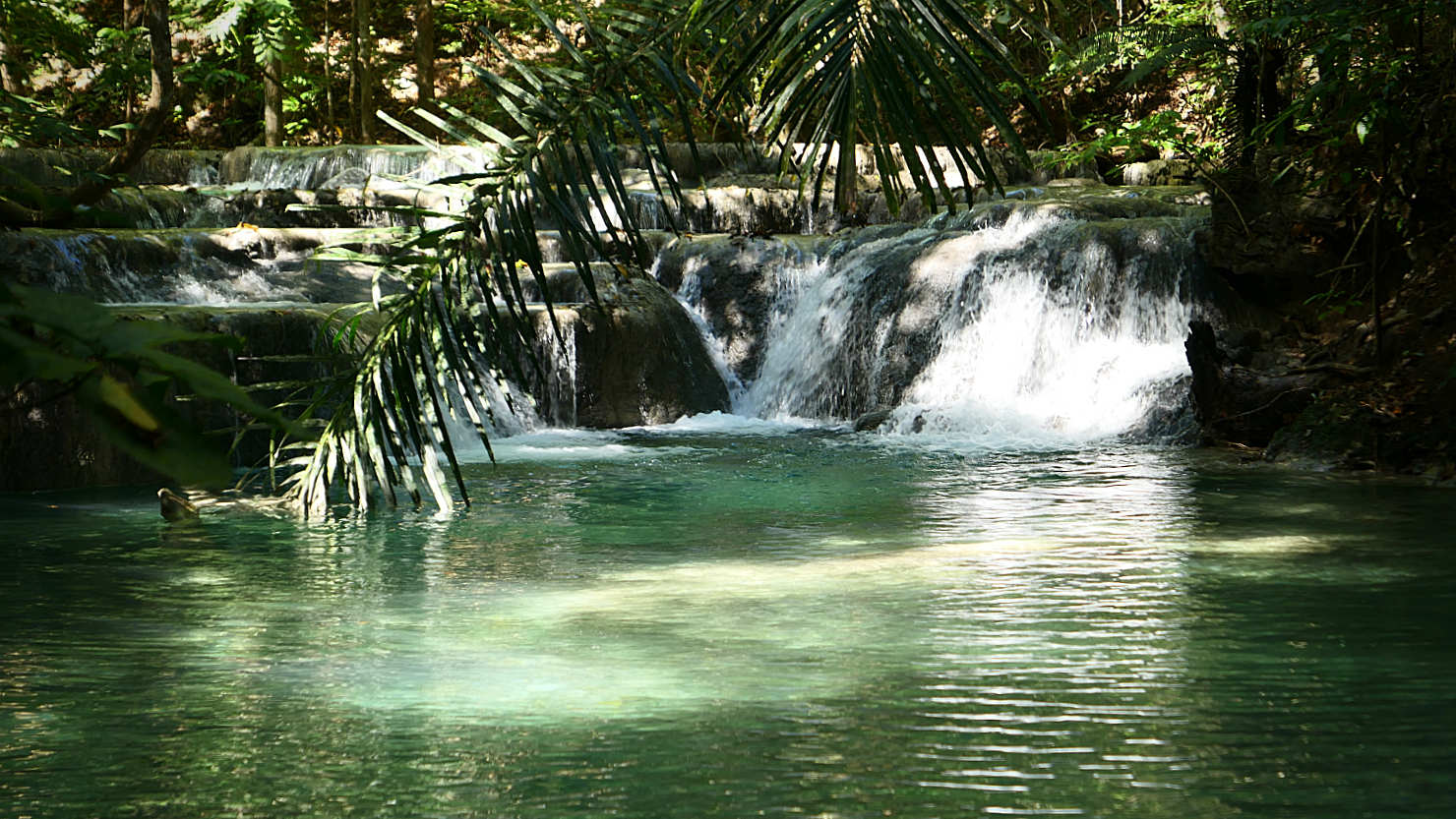
Lower section of Mata Jitu waterfall. Moyo Island, Indonesia (Sumbawa).

Lower section of Mata Jitu waterfall. Moyo Island, Indonesia (Sumbawa).

Mata Jitu Waterfall. Moyo Island, Indonesia (Sumbawa).
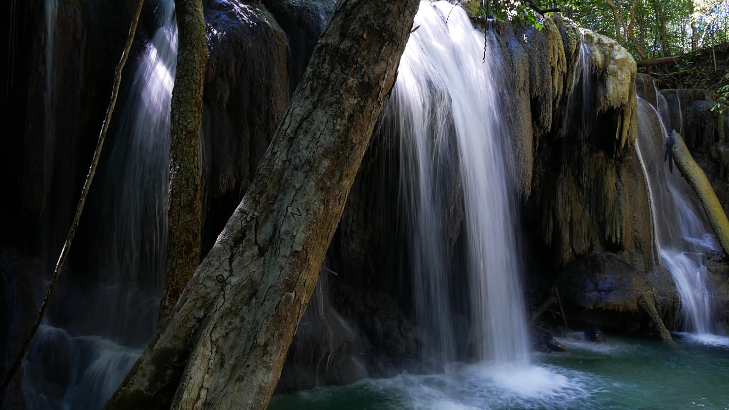
Mata Jitu waterfall. Moyo Island, Indonesia (Sumbawa).
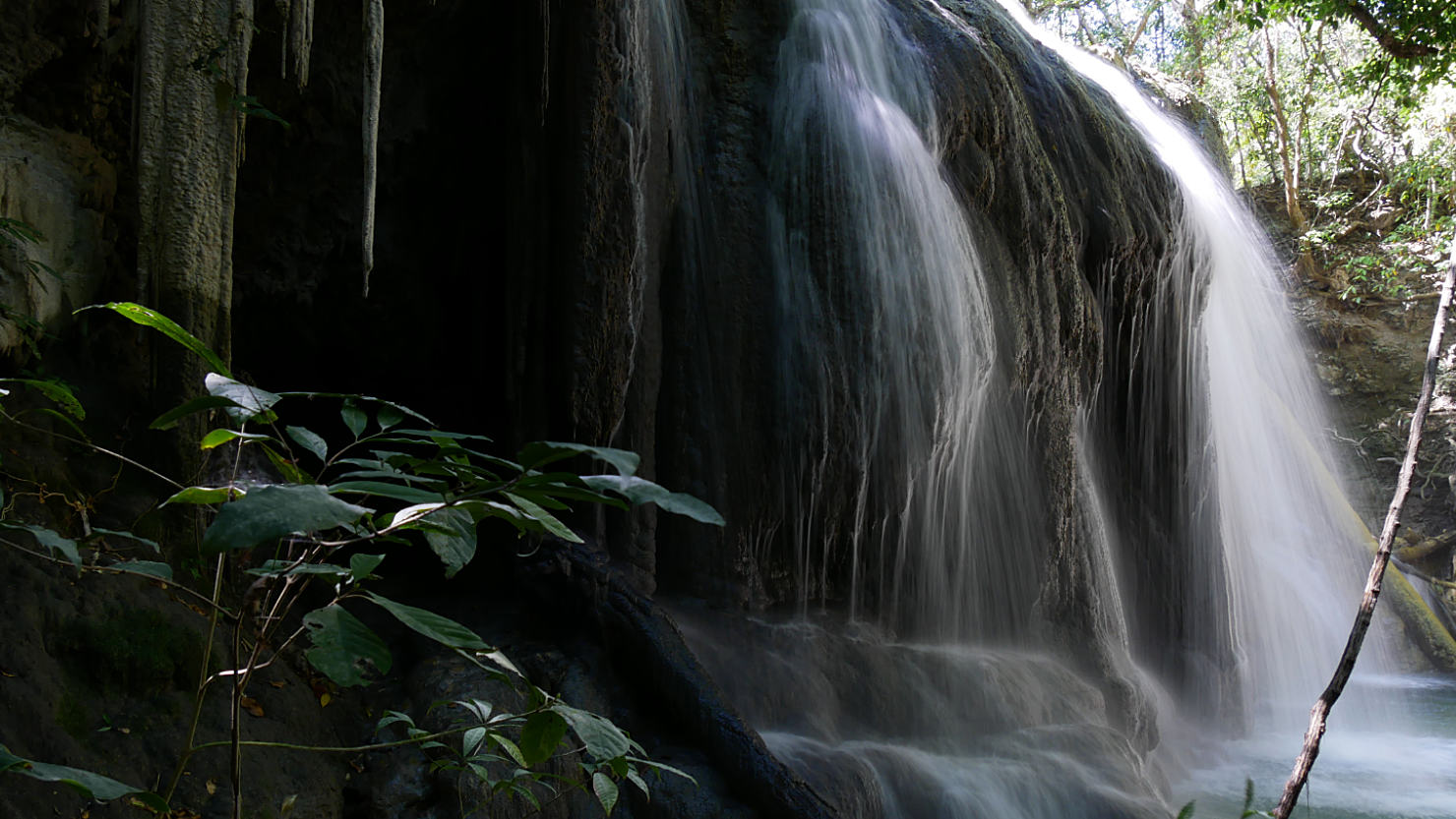
Mata Jitu waterfall. Moyo Island, Indonesia (Sumbawa).

Mata Jitu waterfall. Moyo Island, Indonesia (Sumbawa).
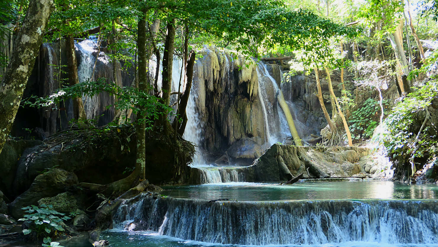
Mata Jitu Waterfall. Moyo Island, Indonesia (Sumbawa).
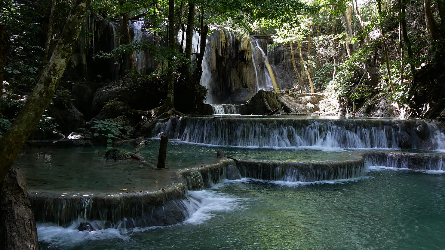
Mata Jitu Waterfall. Moyo Island, Indonesia (Sumbawa).

Deep swimming hole above Mata Jitu waterfall (turquoise area center left). You walk out the natural steps and jump or dive off. Moyo Island, Indonesia (Sumbawa).
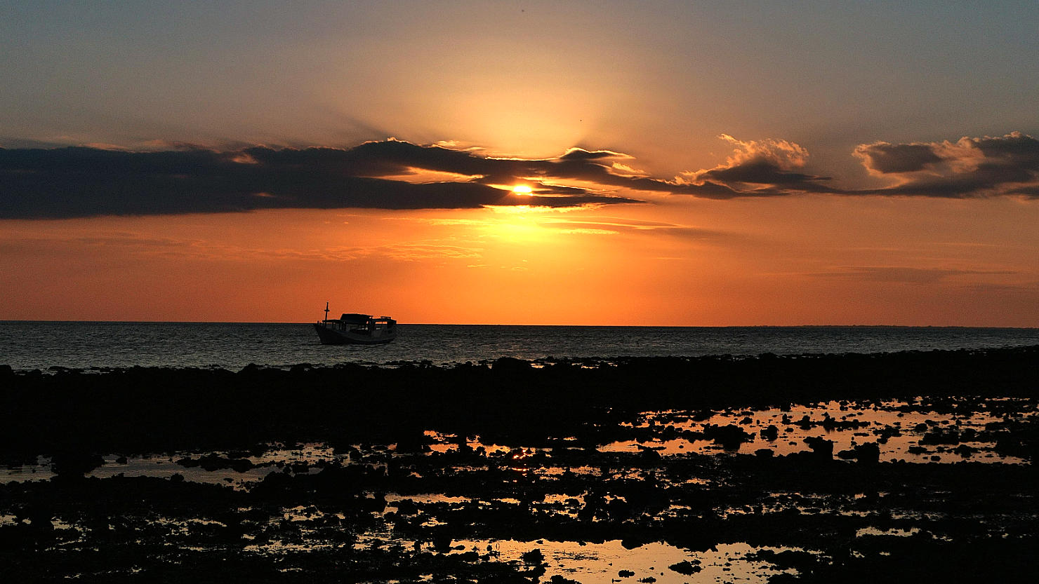
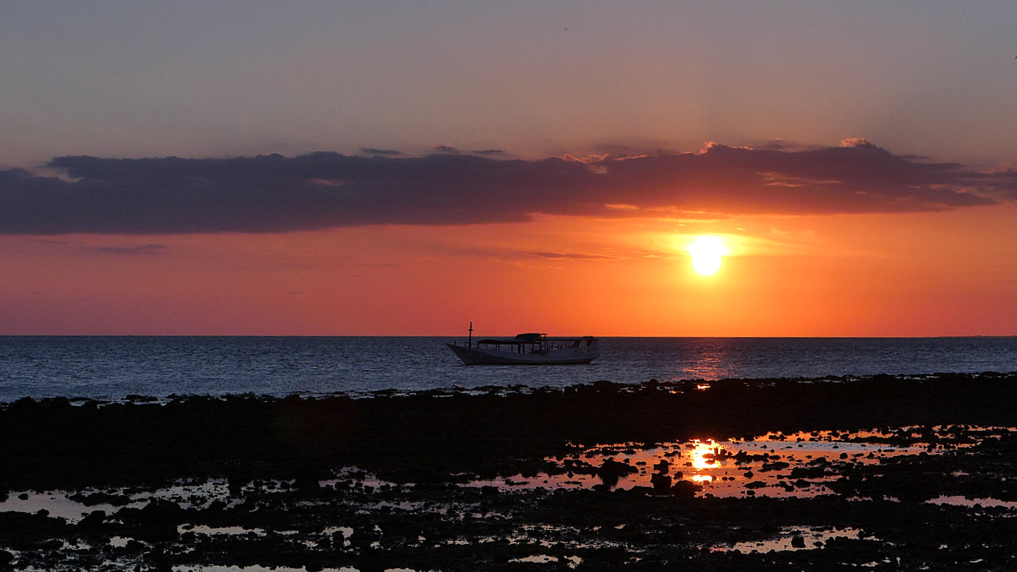
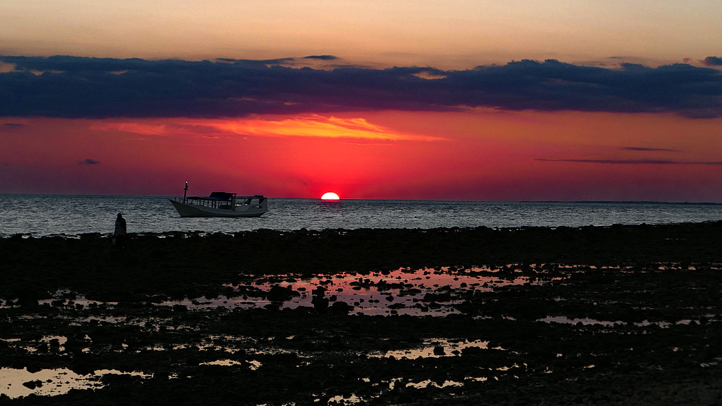
Sunset Moyo Island. Moyo Island, Indonesia (Sumbawa).
Moyo Island Sunset. Moyo Island, Indonesia (Sumbawa).

Moyo Island Sunset. Moyo Island, Indonesia (Sumbawa).
Sunset Moyo Island. Moyo Island, Indonesia (Sumbawa).
Moyo Island (Sumbawa)

Mt Tambora, Indonesia (Sumbawa)
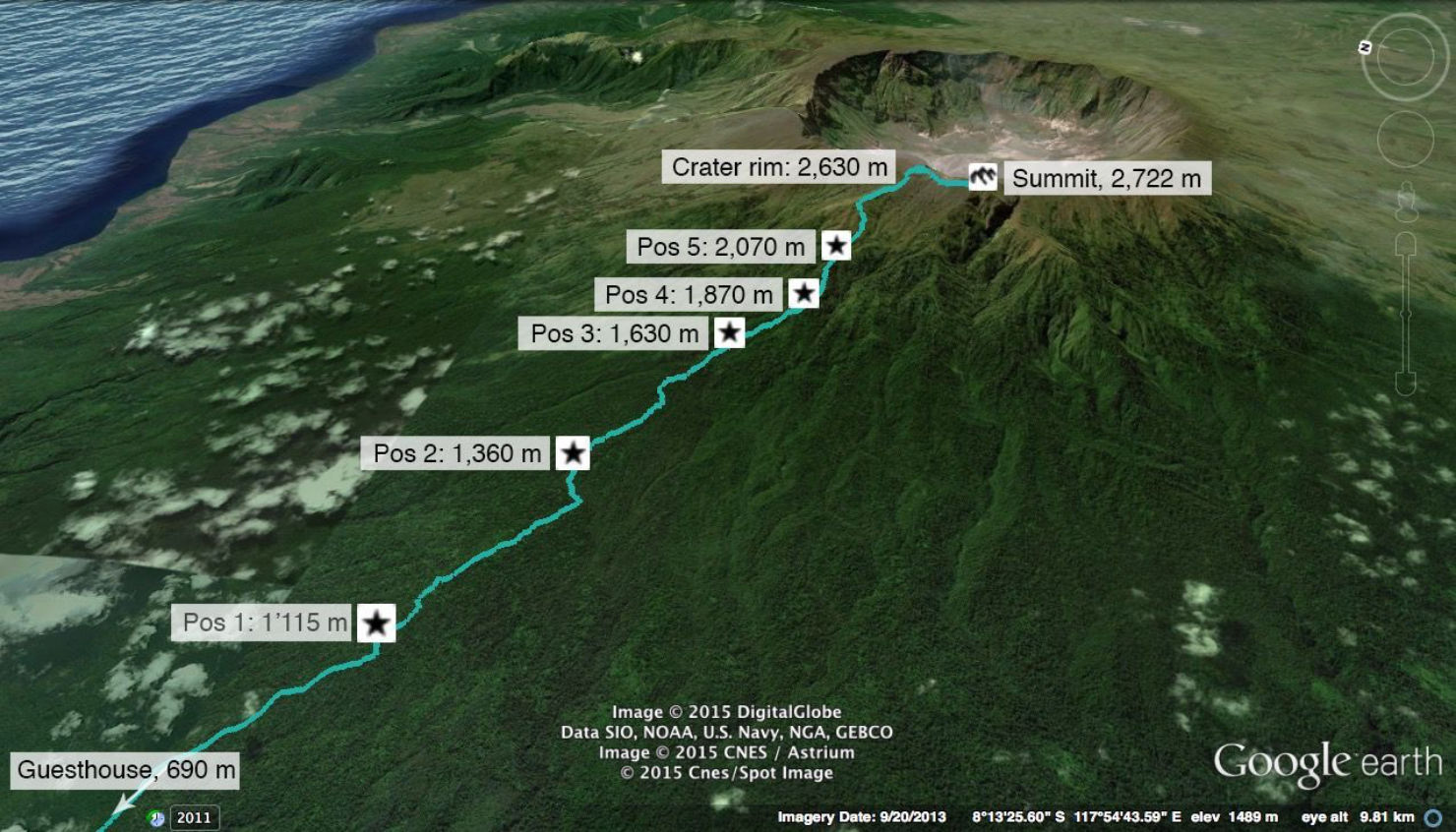
Mt Tambora trekking trail. Mt Tambora, Indonesia (Sumbawa).
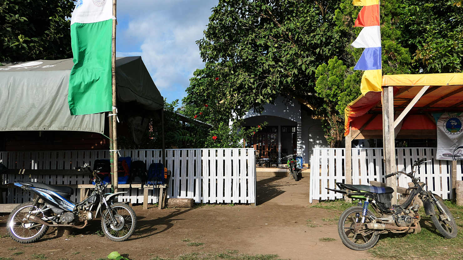
Tambora Park Registration office with our motorcycle taxis (called Ojeks in Indonesian) parked outside. Mt Tambora, Indonesia (Sumbawa).
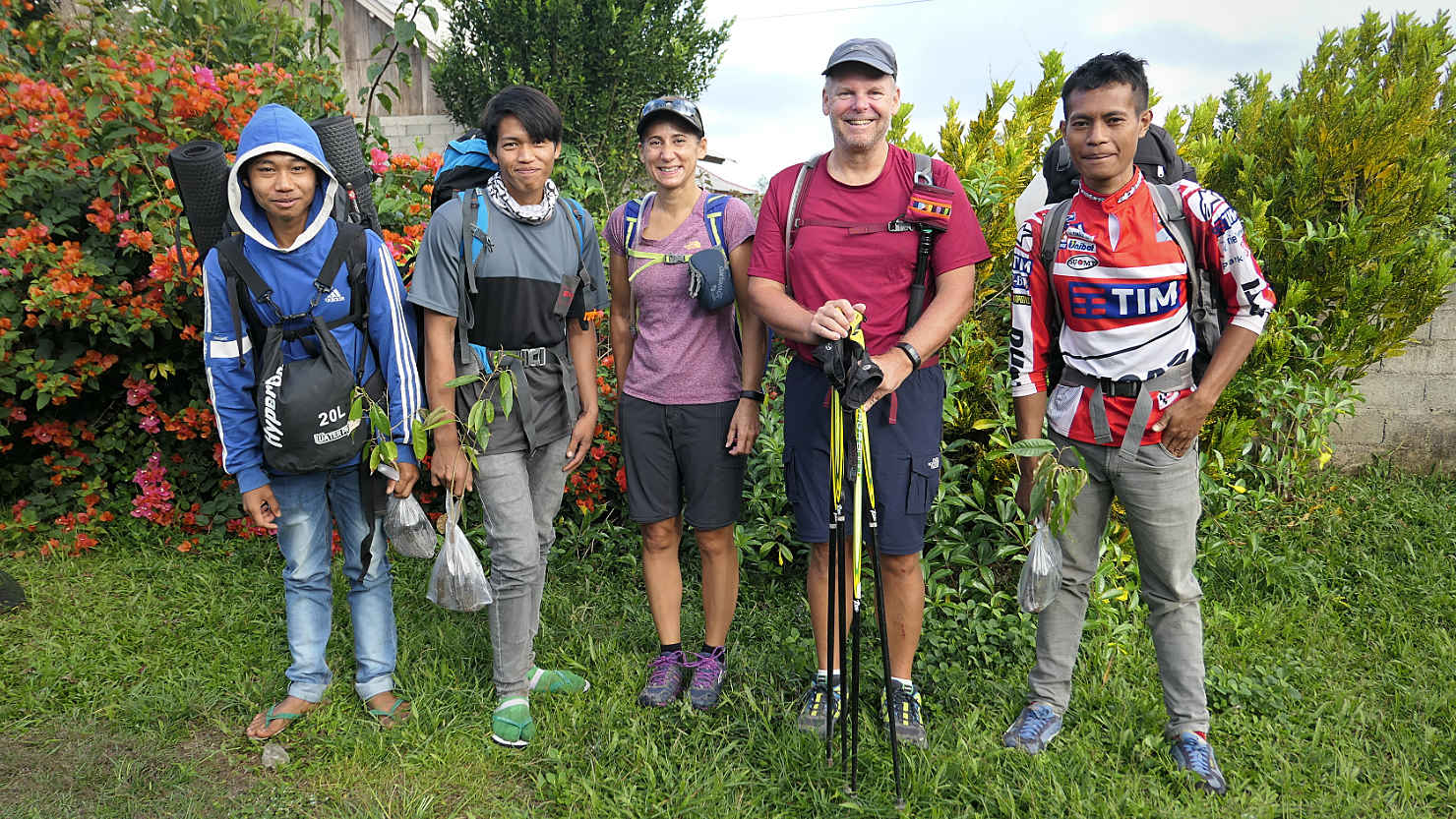
Rick and Alisa with our guides / porters on Day 1. From left to right, Dinny, Akim, Alisa, Rick, Chandu. Mt Tambora, Indonesia (Sumbawa).
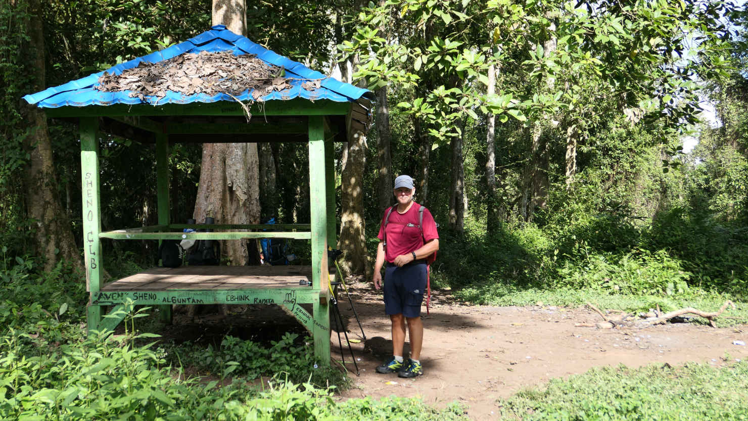
Rick at Pos 1 on the Tambora trail. Mt Tambora, Indonesia (Sumbawa).

Chandu, our lead guide, cooking rice and fresh veggies for our lunch at Pos 2 on day 1. Mt Tambora, Indonesia (Sumbawa).
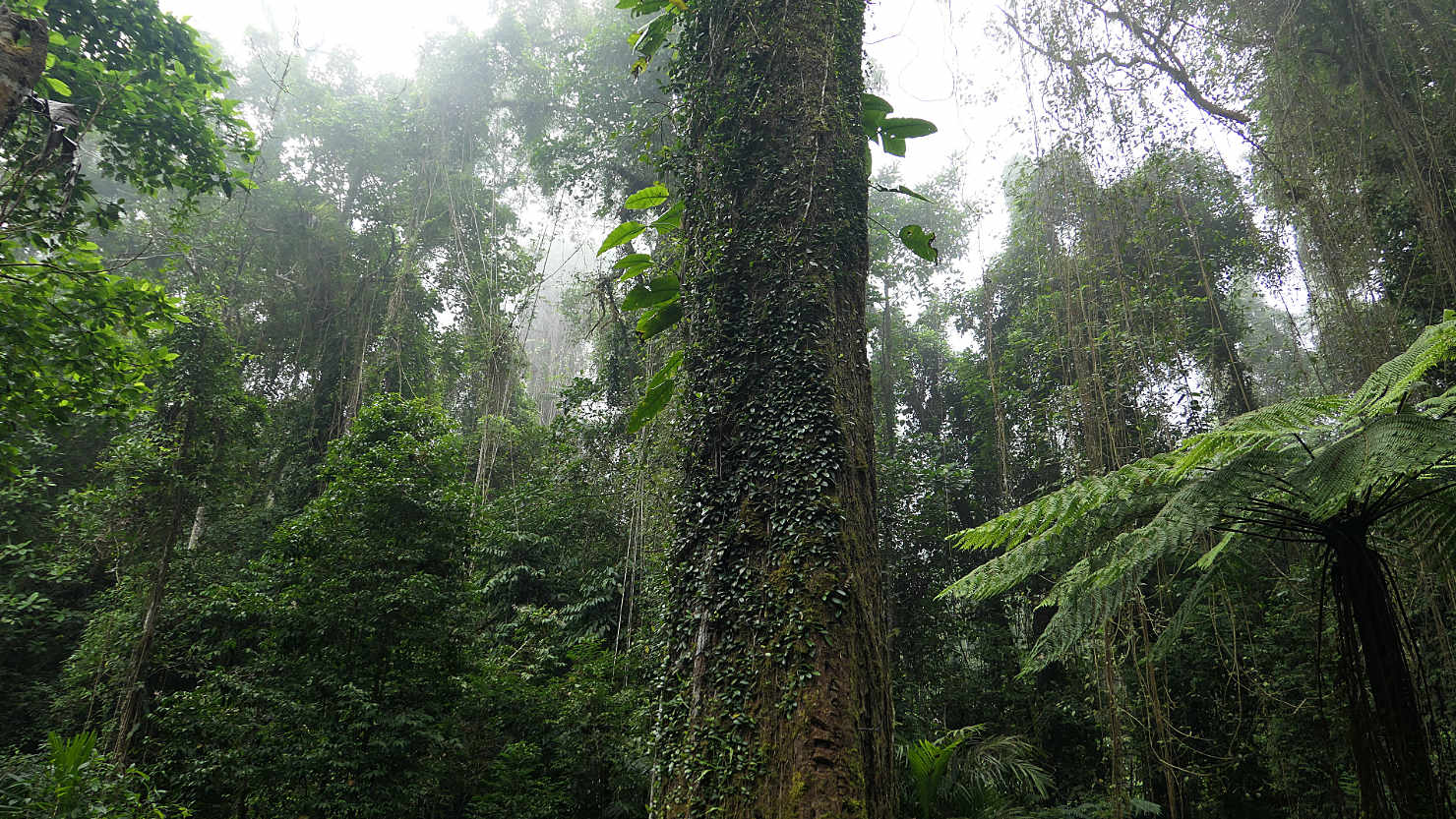
Jungle view from rest stop #2 (POS 2). Mt Tambora, Indonesia (Sumbawa).
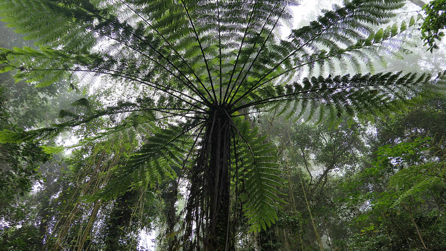
Fern trees at Pos 2. Mt Tambora, Indonesia (Sumbawa).
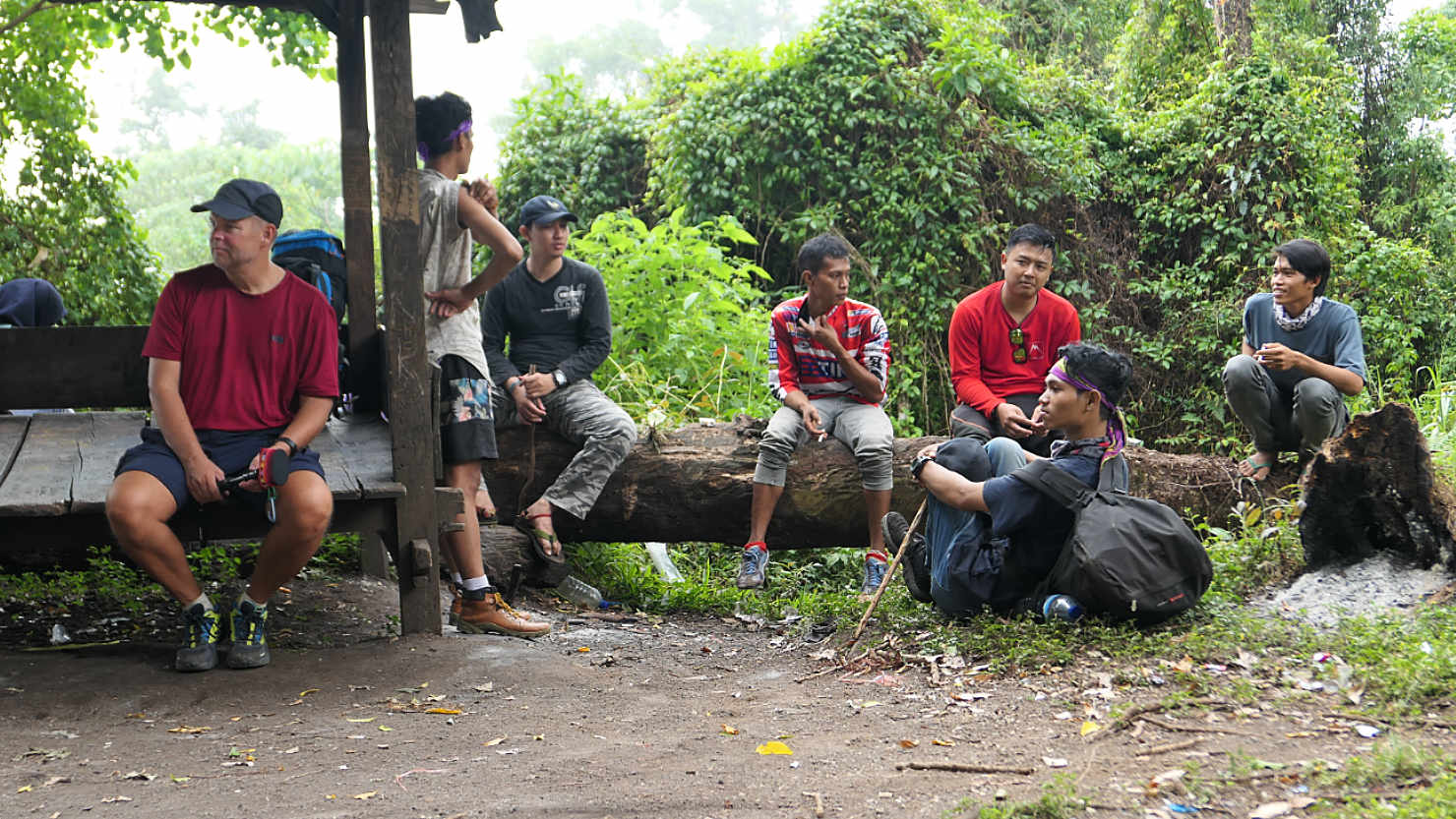
Rick, our guides, and some people from another group taking a break at Pos 3. Mt Tambora, Indonesia (Sumbawa).
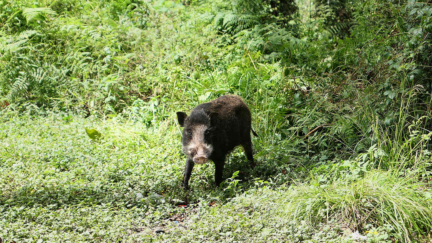
Bagong, the wild boar, who hangs around Pos 3 and also destroys tents. Mt Tambora, Indonesia (Sumbawa).

Our tent at POS 3 on Day 1 with wild boar named "Bagong" or "Bobby" behind it. This was before "Bagong" destroyed it. Mt Tambora, Indonesia (Sumbawa).
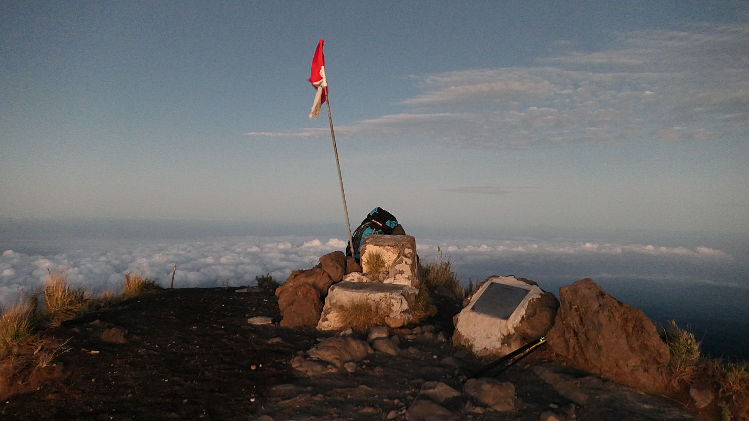
Indonesian Flag at the summit before sunrise. Mt Tambora, Indonesia (Sumbawa).

Indonesian Flag at the summit before sunrise. Mt Tambora, Indonesia (Sumbawa).
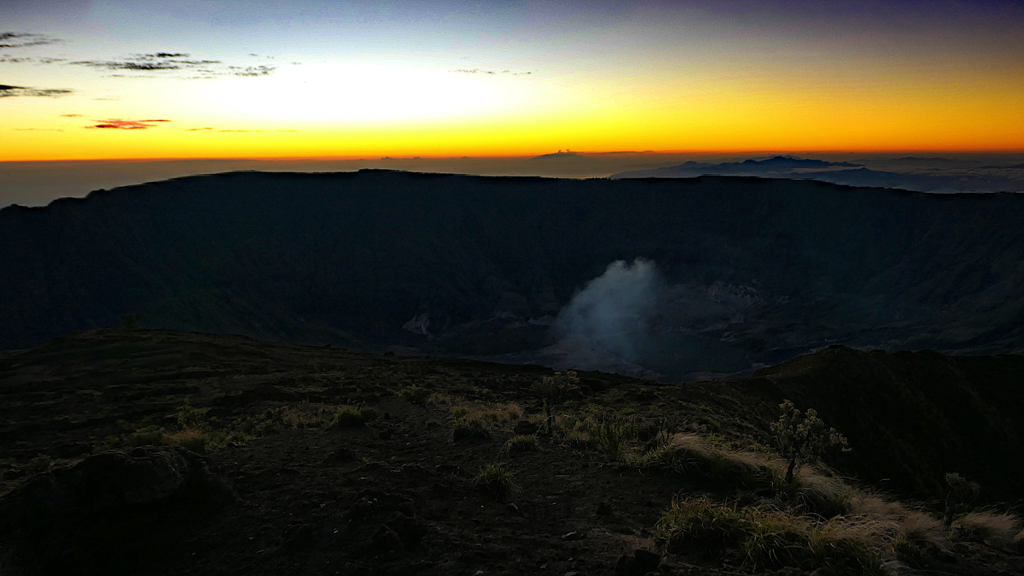
Crater view from the summit right before the sun came above the horizon. Mt Tambora, Indonesia (Sumbawa).
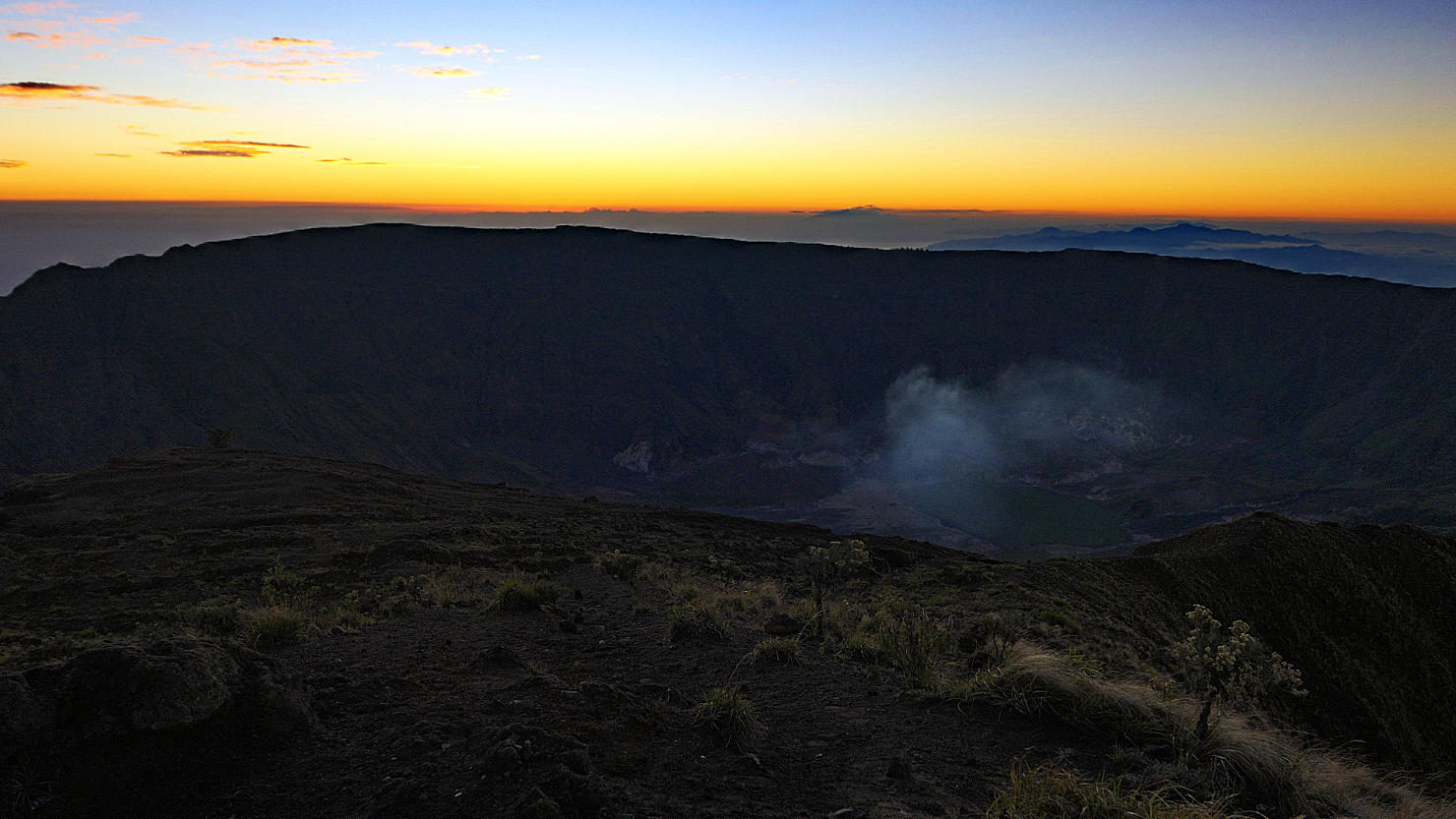
Tambora crater and rim right before the sun came above the horizon. See the steam coming from bottom of the crater of this active volcano. Mt Tambora, Indonesia (Sumbawa).
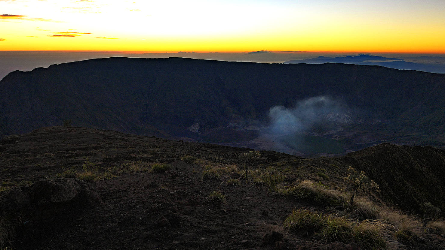
View from the summit right before the sun came above the horizon. See the steam activity coming from bottom of the crater of this active volcano. Mt Tambora, Indonesia (Sumbawa).

Tambora crater silhouette before sunrise. Mt Tambora, Indonesia (Sumbawa).
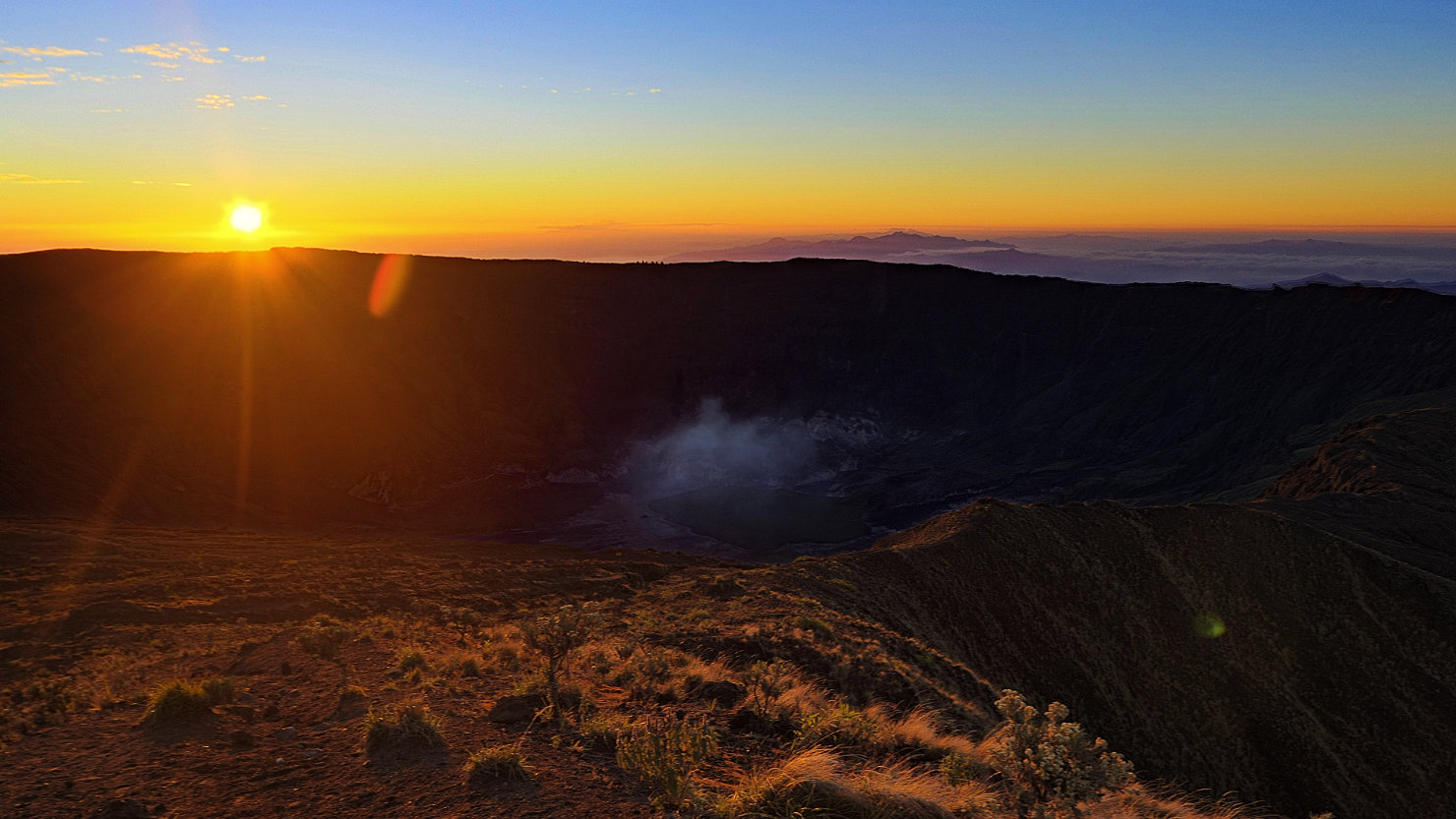
Sunrise beginning to the light the crater. See the steam coming from bottom of the crater of this active volcano. Mt Tambora, Indonesia (Sumbawa).

Sunrise at the summit. Mt Tambora, Indonesia (Sumbawa).
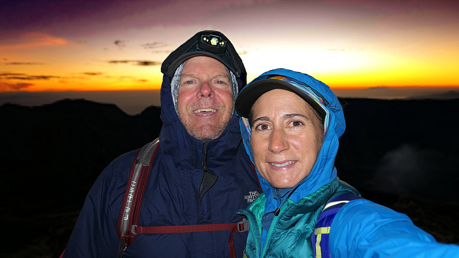
Rick and Alisa on the summit at sunrise. It was very cold and windy. Mt Tambora, Indonesia (Sumbawa).
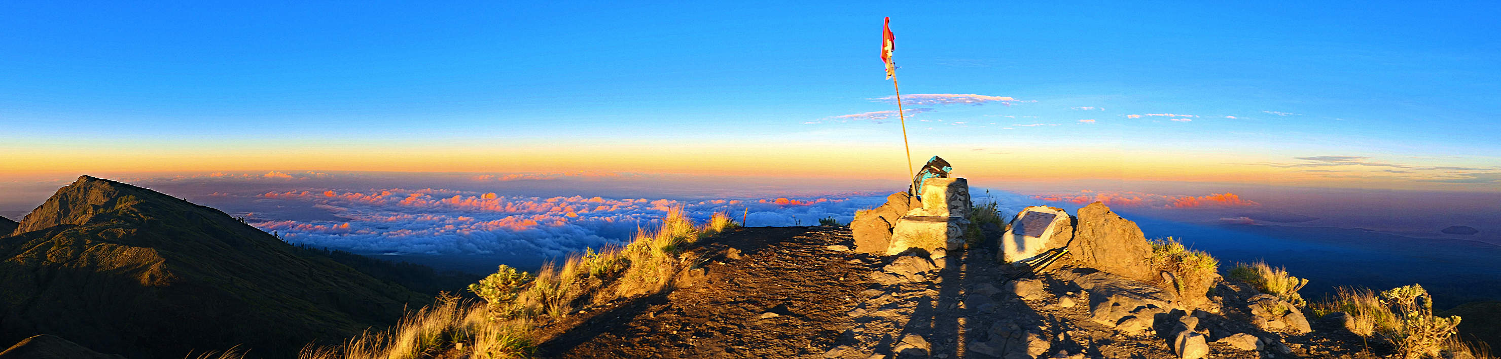
Panorama sunrise view on the summit. Mt Tambora, Indonesia (Sumbawa).

Sun coming above the horizon and beginning to light the crater. See the steam coming up from the active volcano. Mt Tambora, Indonesia (Sumbawa).

Panorama sunrise view from the summit. Mt Tambora, Indonesia (Sumbawa).
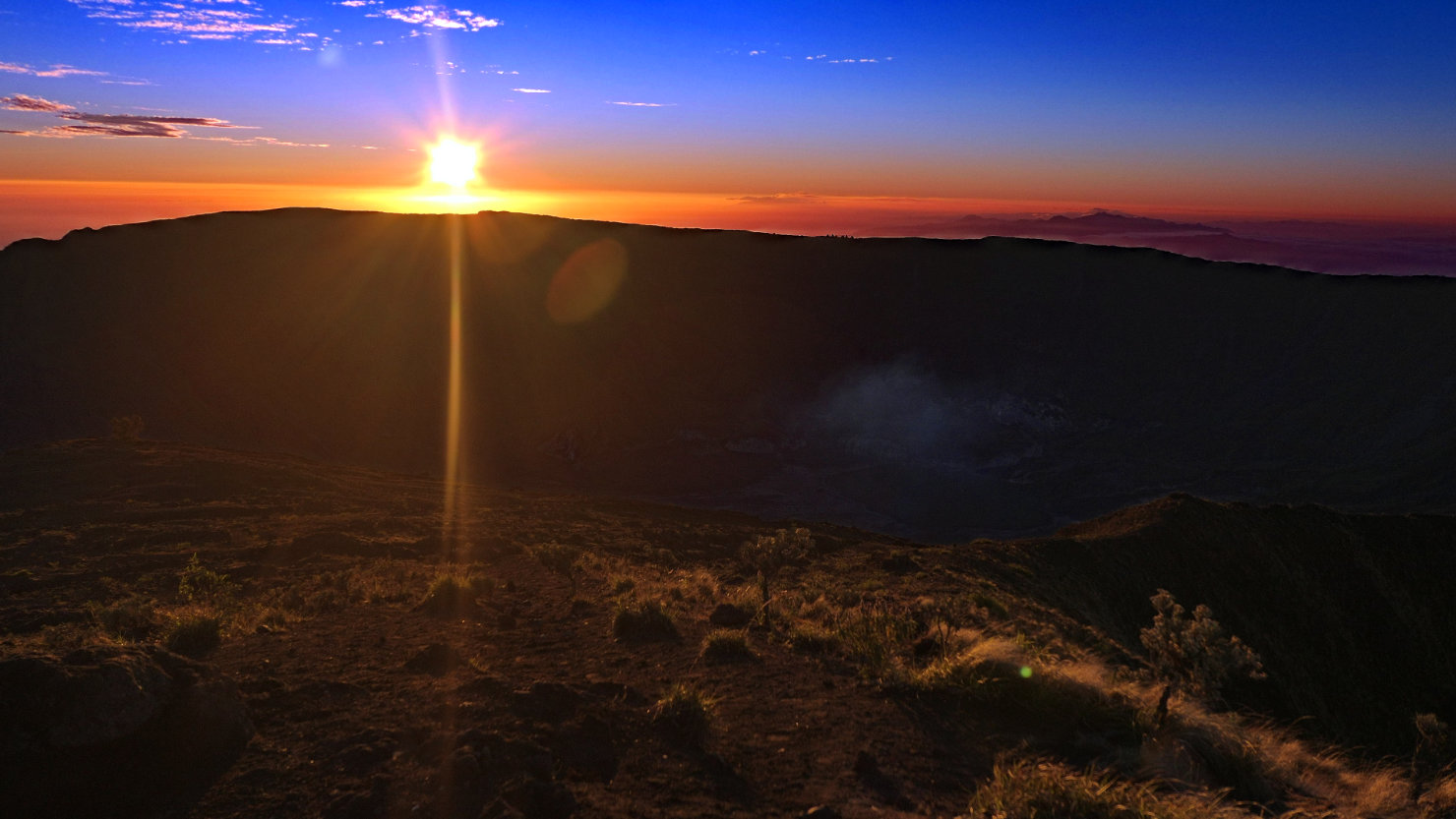
Sunrise with solar flare beginning to light the crater rim. Mt Tambora, Indonesia (Sumbawa).
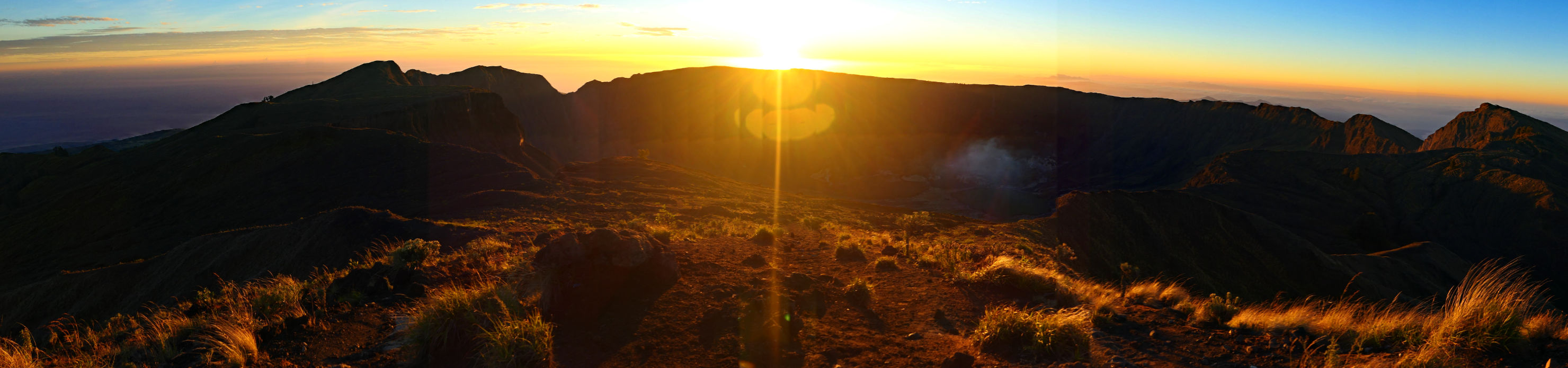
Panorama sunrise solar flare view from the summit. Mt Tambora, Indonesia (Sumbawa).
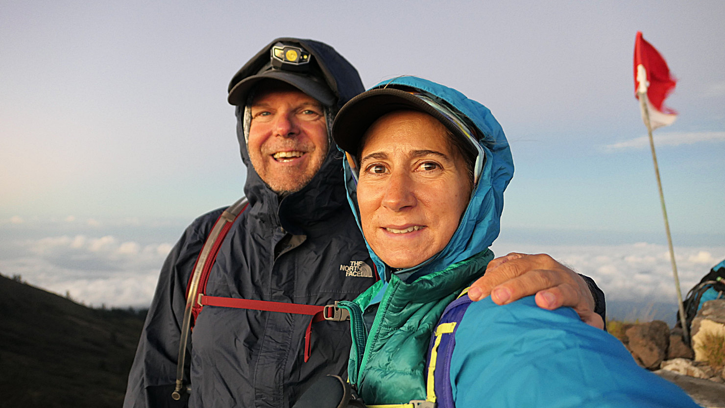
Rick and Alisa on the summit after the sun was up. We were freezing and getting ready to head down. Mt Tambora, Indonesia (Sumbawa).
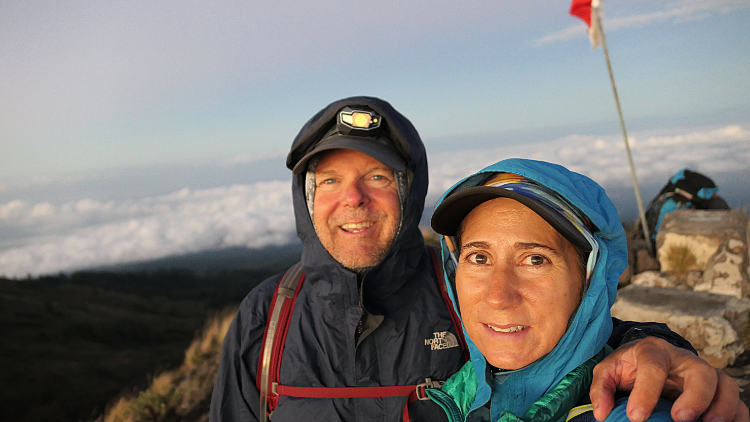
Rick and Alisa on the summit after the sun came up. We were freezing and getting ready to head down. Mt Tambora, Indonesia (Sumbawa).

Sunrise lighting the crater rim and beginning to light the crater (see the steam and crater on the left). Mt Tambora, Indonesia (Sumbawa).

Sunrise view from the summit looking at the south rim of the crater. Mt Tambora, Indonesia (Sumbawa).
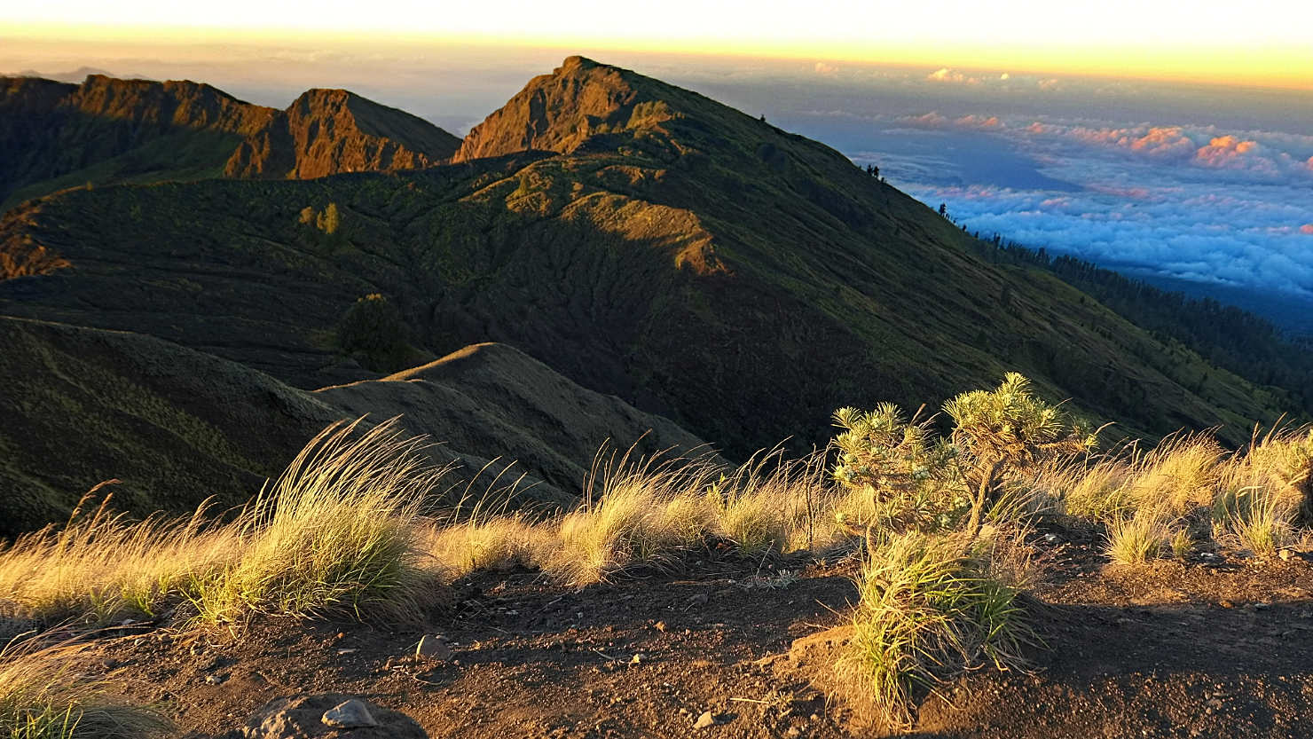
Sunrise view of the crater rim looking south. Mt Tambora, Indonesia (Sumbawa).

Sunrise view from the summit looking at the south rim of the crater. Mt Tambora, Indonesia (Sumbawa).
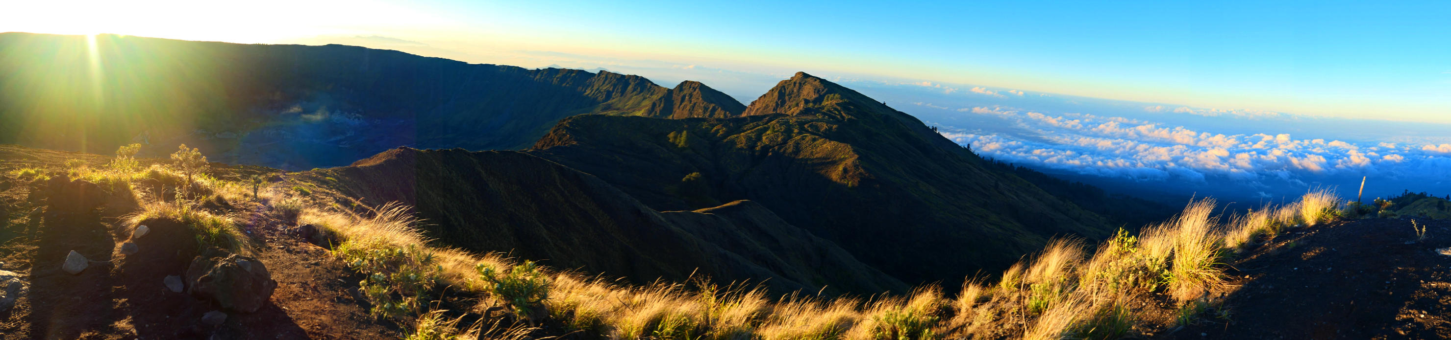
Panorama sunrise crater view (the crater is on the left side). Mt Tambora, Indonesia (Sumbawa).
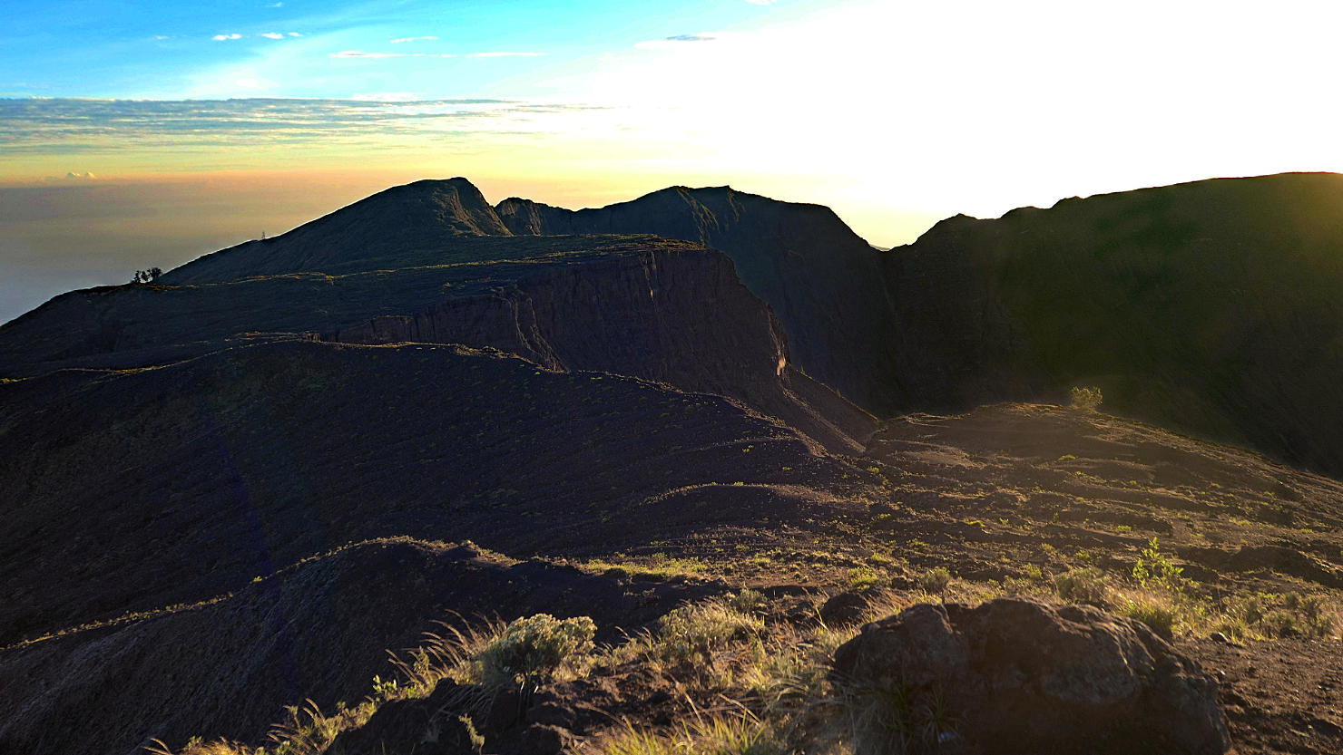
Sunrise just beginning to light up the crater. Mt Tambora, Indonesia (Sumbawa).
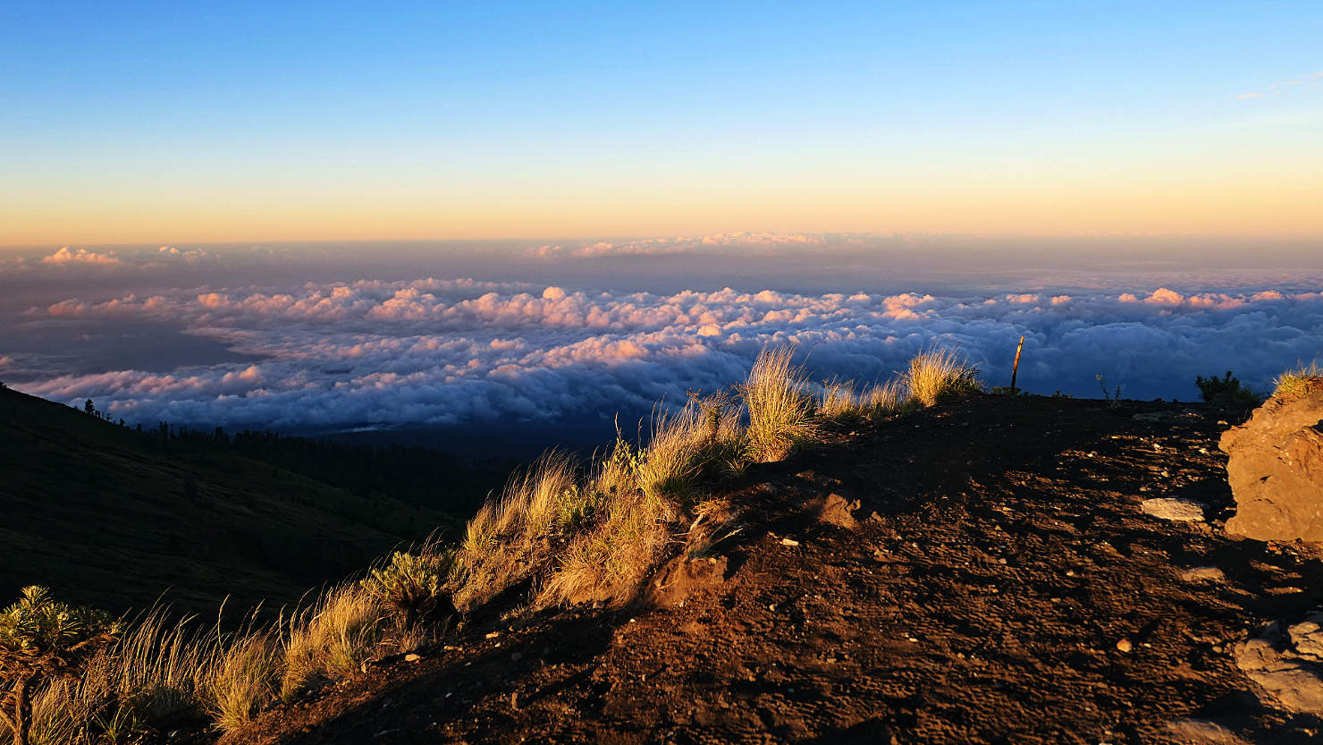
Sunrise view from the summit looking South. Mt Tambora, Indonesia (Sumbawa).
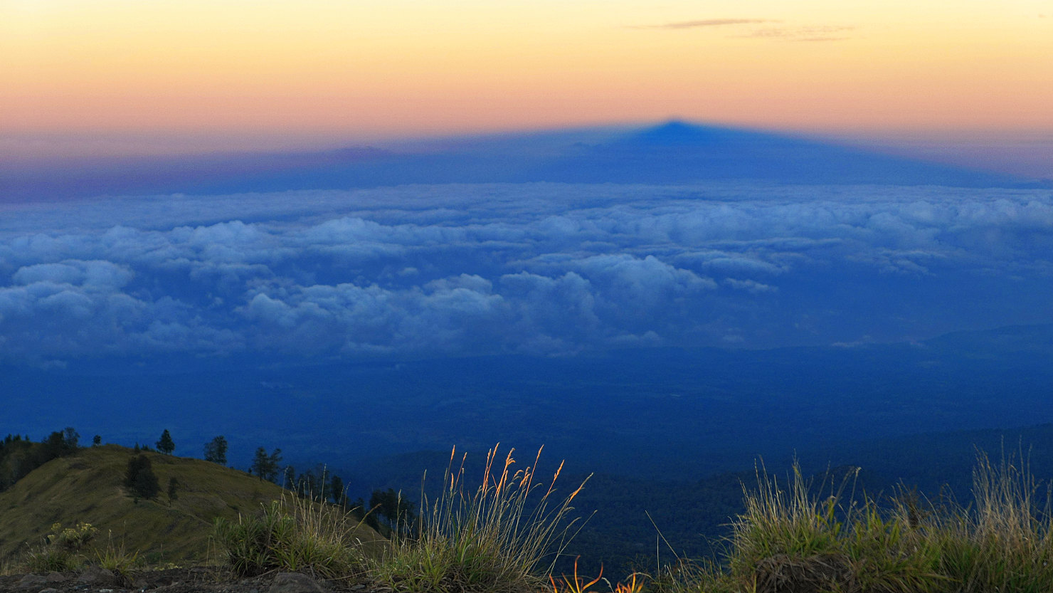
As the sun rose in the east the shadow of the summit appeared in the west. The point in the distance is the shadow of the summit. Mt Tambora, Indonesia (Sumbawa).

Shadow of the Tambora summit in the distance. Mt Tambora, Indonesia (Sumbawa).
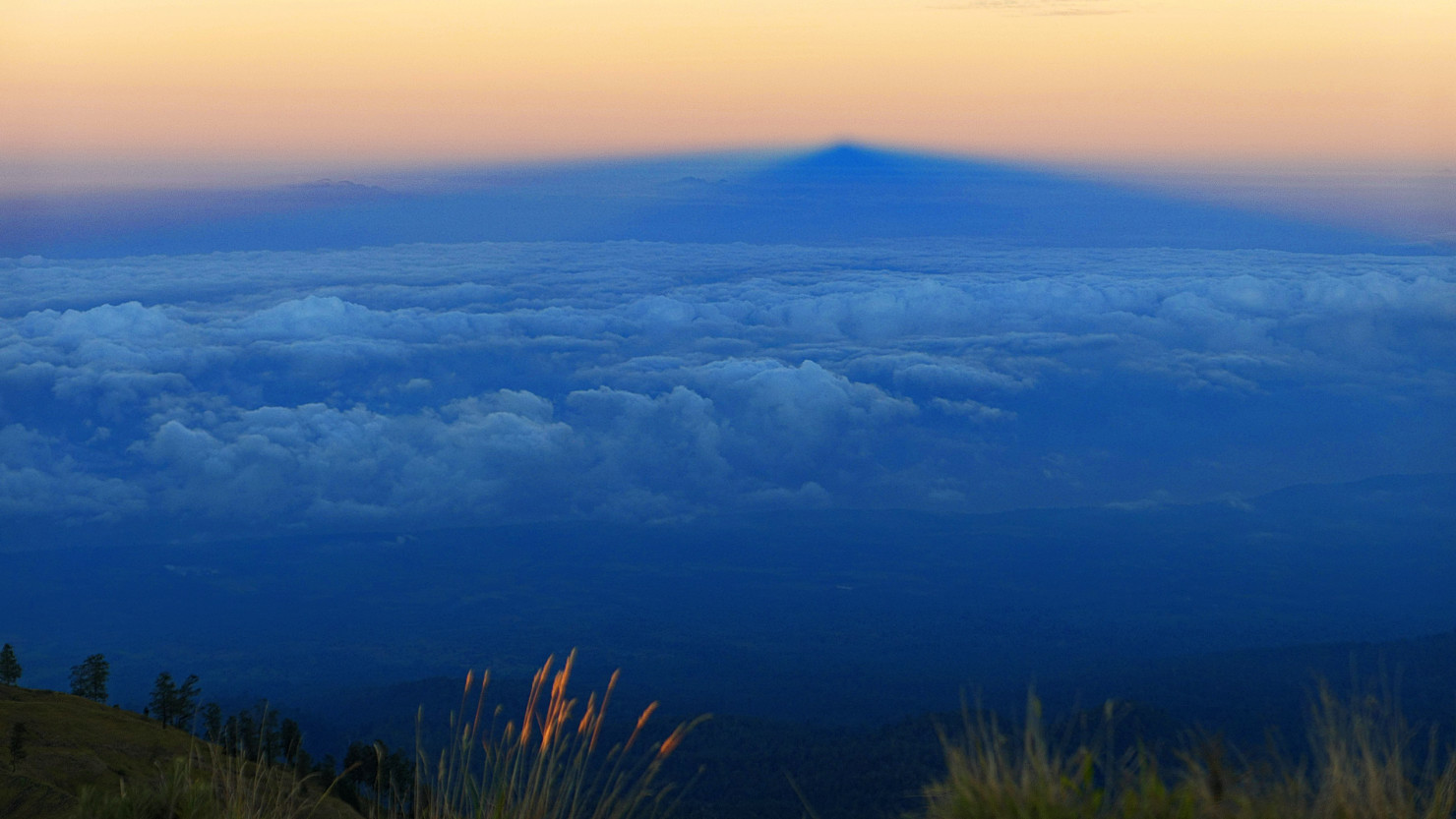
Closer view of the Tambora summit shadow. Mt Tambora, Indonesia (Sumbawa).

Tambora crater view with steam. Mt Tambora, Indonesia (Sumbawa).
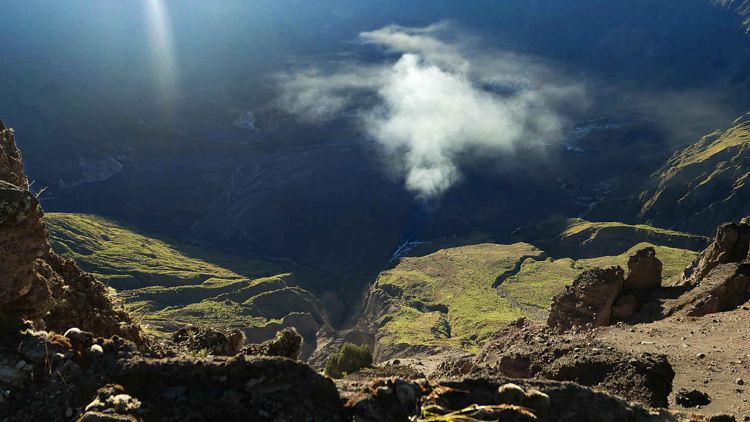
View looking down into the crater. Note the steam is coming from the active volcano. Mt Tambora, Indonesia (Sumbawa).
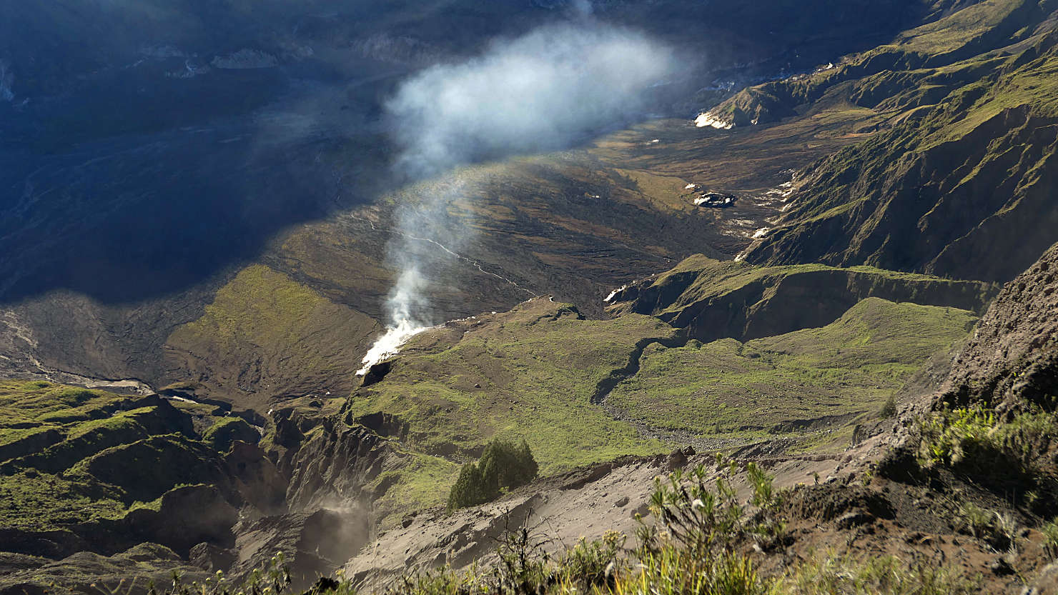
Closer view of the crater bottom and steam. Mt Tambora, Indonesia (Sumbawa).
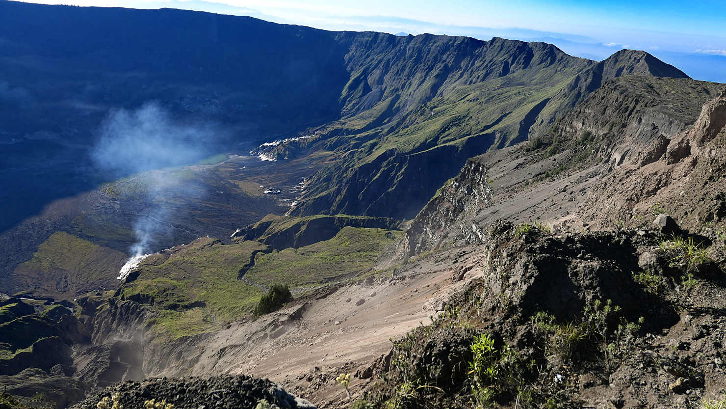
Inside crater view. Mt Tambora, Indonesia (Sumbawa).

Closer view of the steam inside the crater. Mt Tambora, Indonesia (Sumbawa).
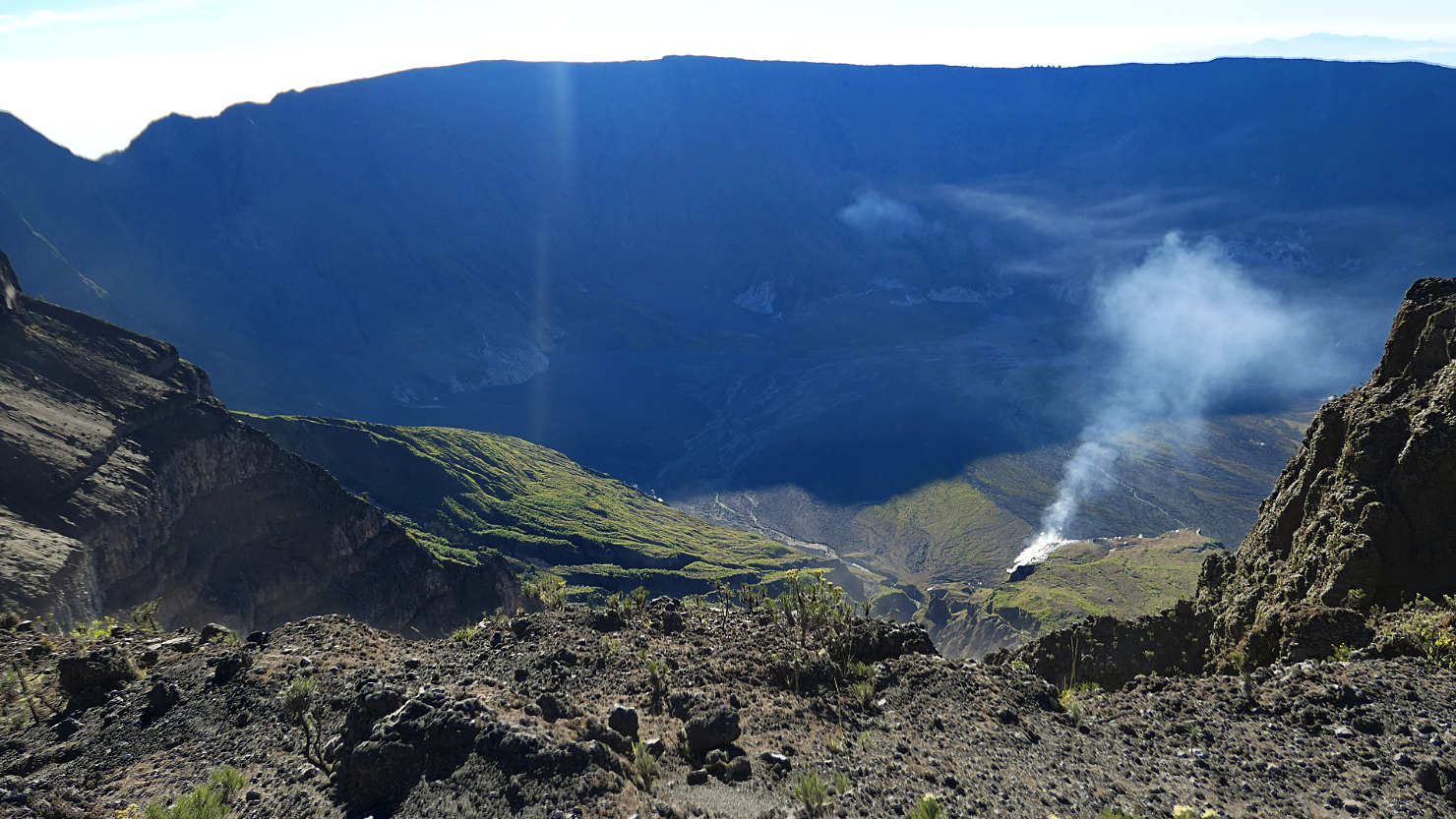
Tambora crater view with steam. Mt Tambora, Indonesia (Sumbawa).
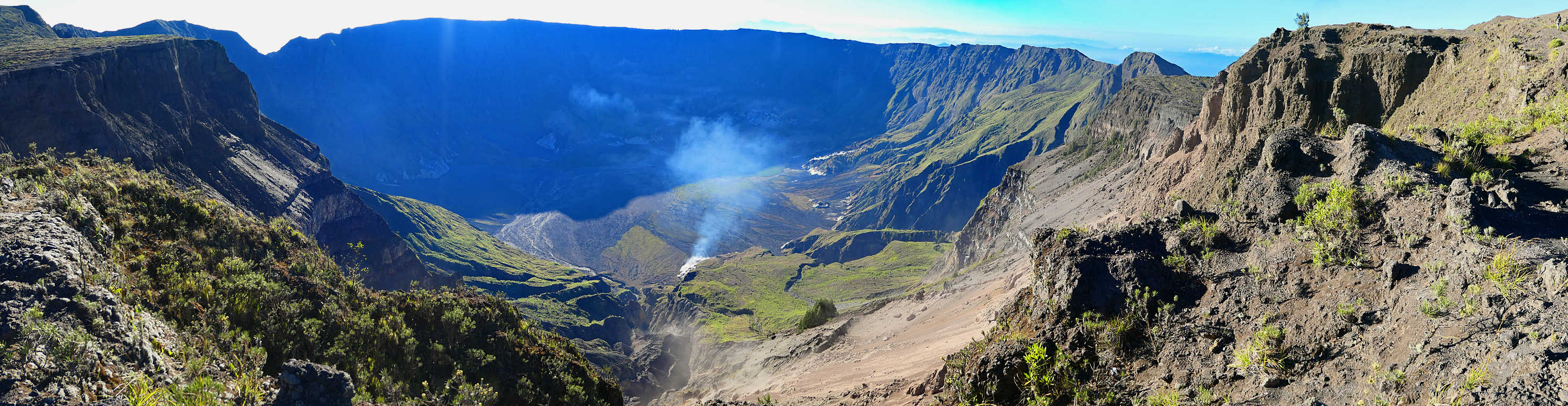
Panorama full crater view. Mt Tambora, Indonesia (Sumbawa).
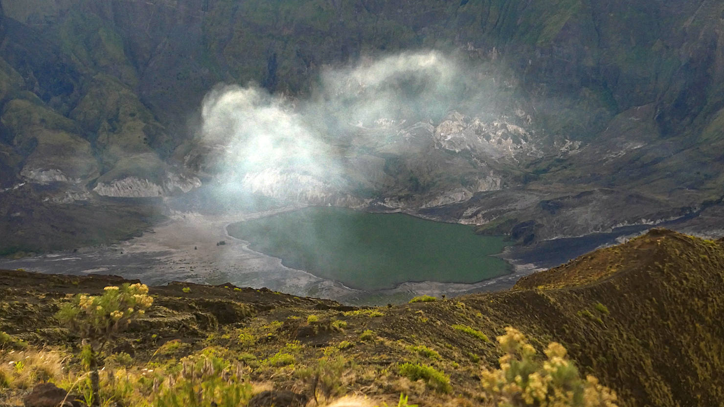
Tambora crater lake with steam. Mt Tambora, Indonesia (Sumbawa).
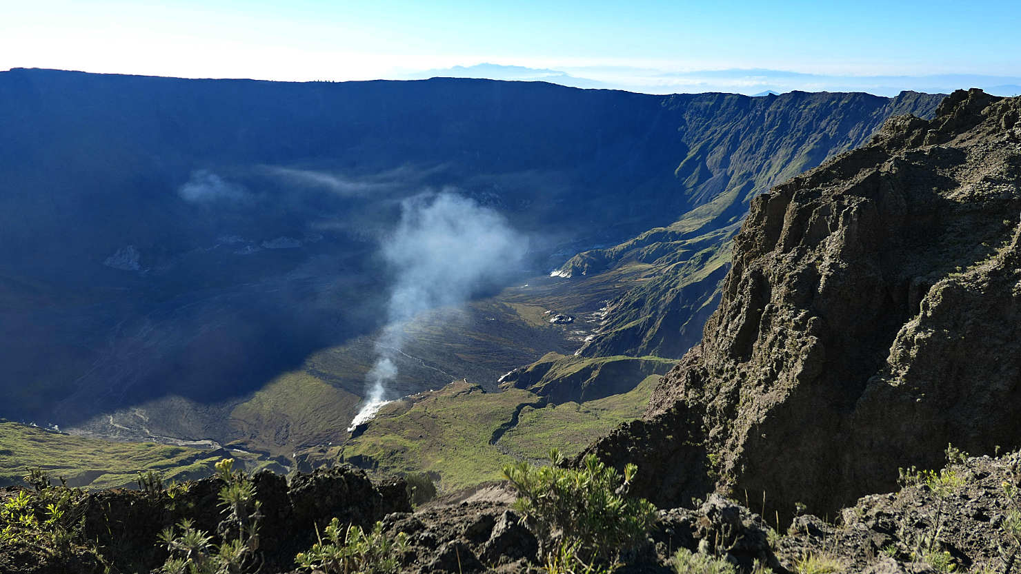
Tambora crater view with steam. Mt Tambora, Indonesia (Sumbawa).

Close-up inside crater with steam. Mt Tambora, Indonesia (Sumbawa).

Inside crater view. Mt Tambora, Indonesia (Sumbawa).
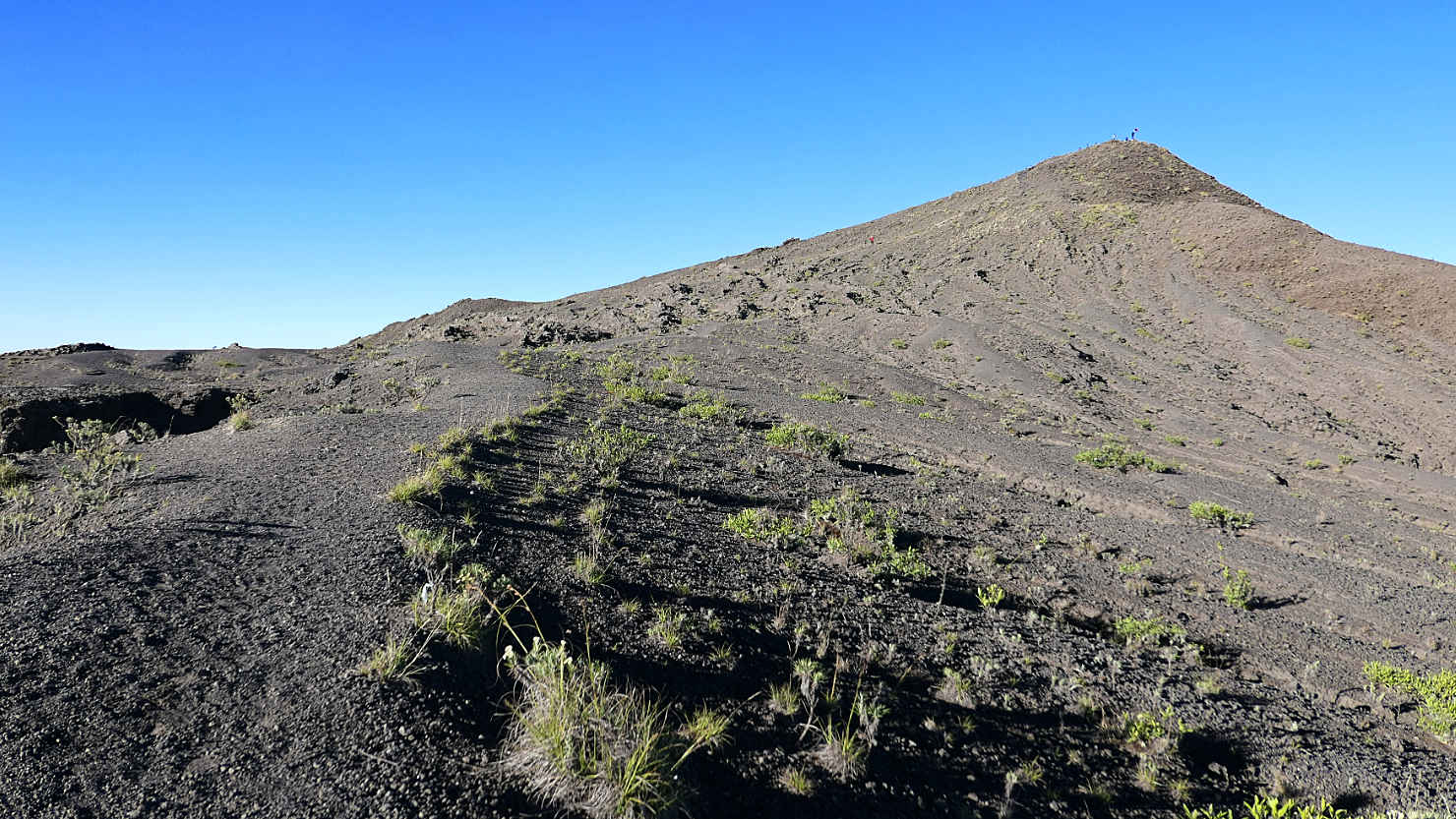
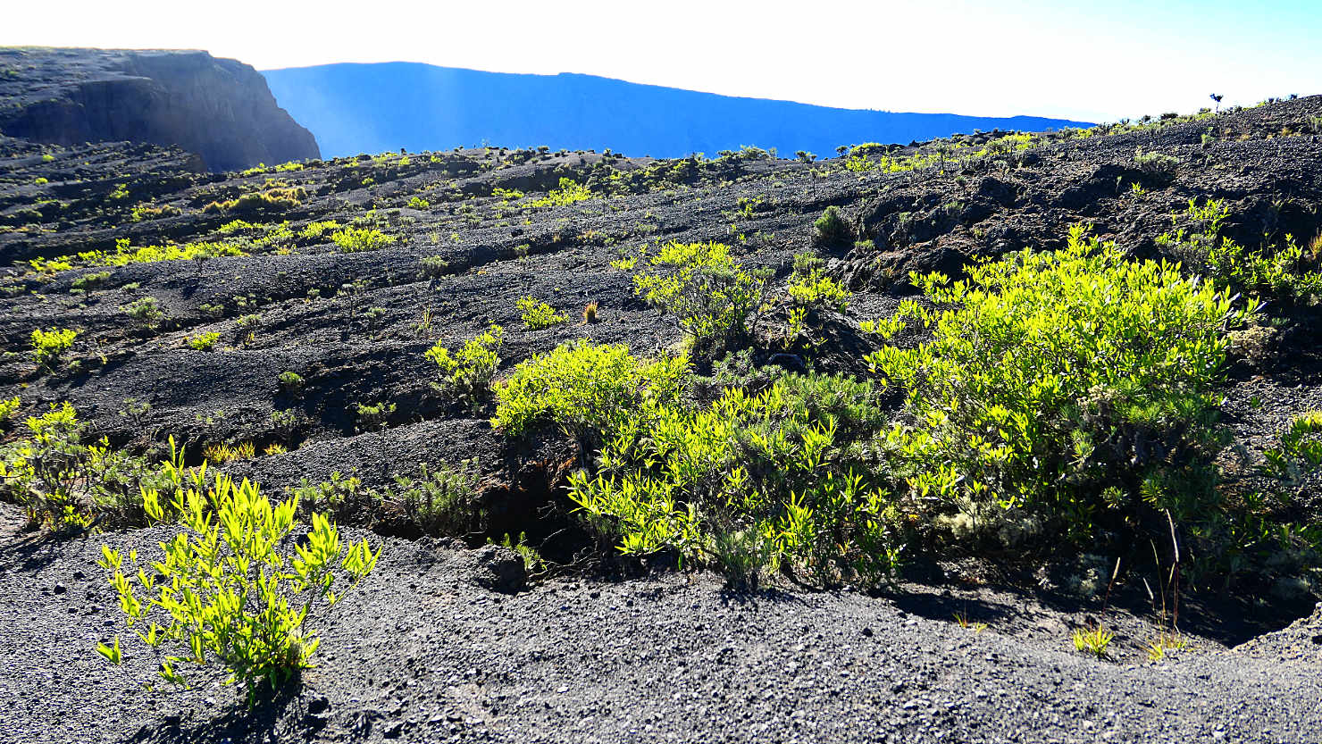
Ridge trail leading to the summit. Mt Tambora, Indonesia (Sumbawa).
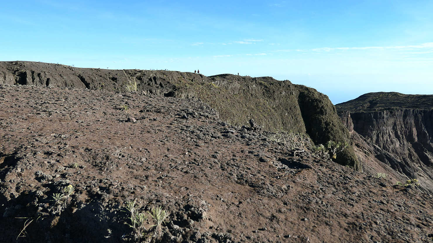
Other group hiking the crater rim trail. Note the size of the people at the horizon line. Mt Tambora, Indonesia (Sumbawa).
Crater rim plant life. Mt Tambora, Indonesia (Sumbawa).

Our guide cooking us hot noodles following our early morning summit. Mt Tambora, Indonesia (Sumbawa).

Akim, our summit guide, cooking us hot noodles on the crater rim after our summit. Mt Tambora, Indonesia (Sumbawa).
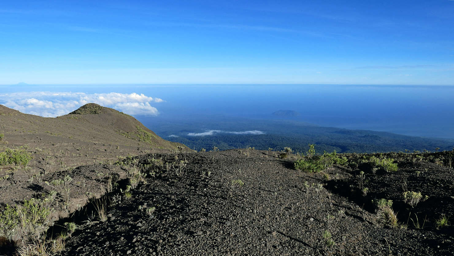
Descending on the trail from the summit of Mt Tambora with the Indian Ocean in the distance. Mt Tambora, Indonesia (Sumbawa).
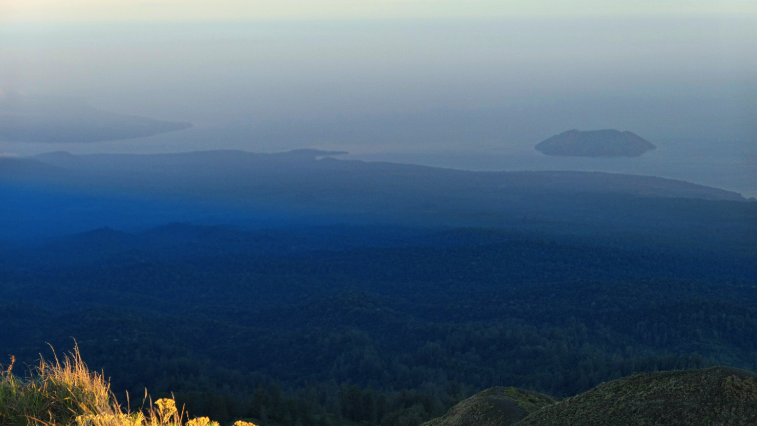
View from the summit looking out at the Indian Ocean and Satonda Island in the distance. Mt Tambora, Indonesia (Sumbawa).

Our summit guide, Mr Akim, walking the crater rim trail. Mt Tambora, Indonesia (Sumbawa).

Our summit guide, Mr Akim, on the ridge top trail. Mt Tambora, Indonesia (Sumbawa).
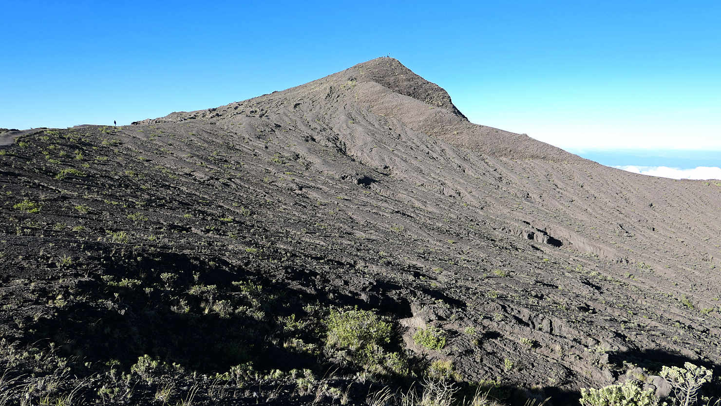
Tambora summit and mud flow view. Mt Tambora, Indonesia (Sumbawa).
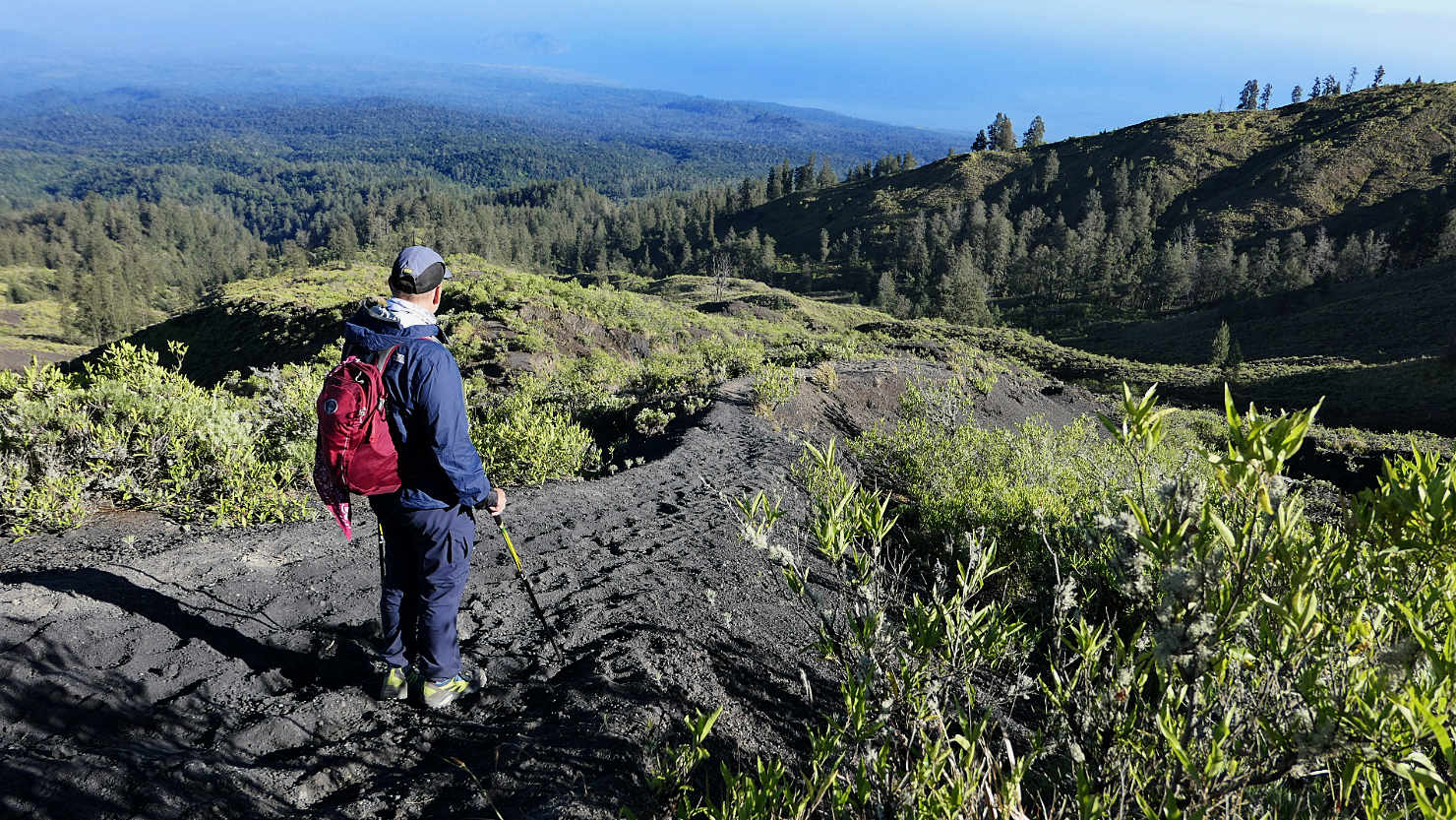
Rick descending from the summit on the Tambora trail. Mt Tambora, Indonesia (Sumbawa).
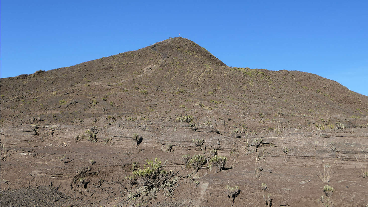
Closer view looking back up at the Tambora summit. Mt Tambora, Indonesia (Sumbawa).
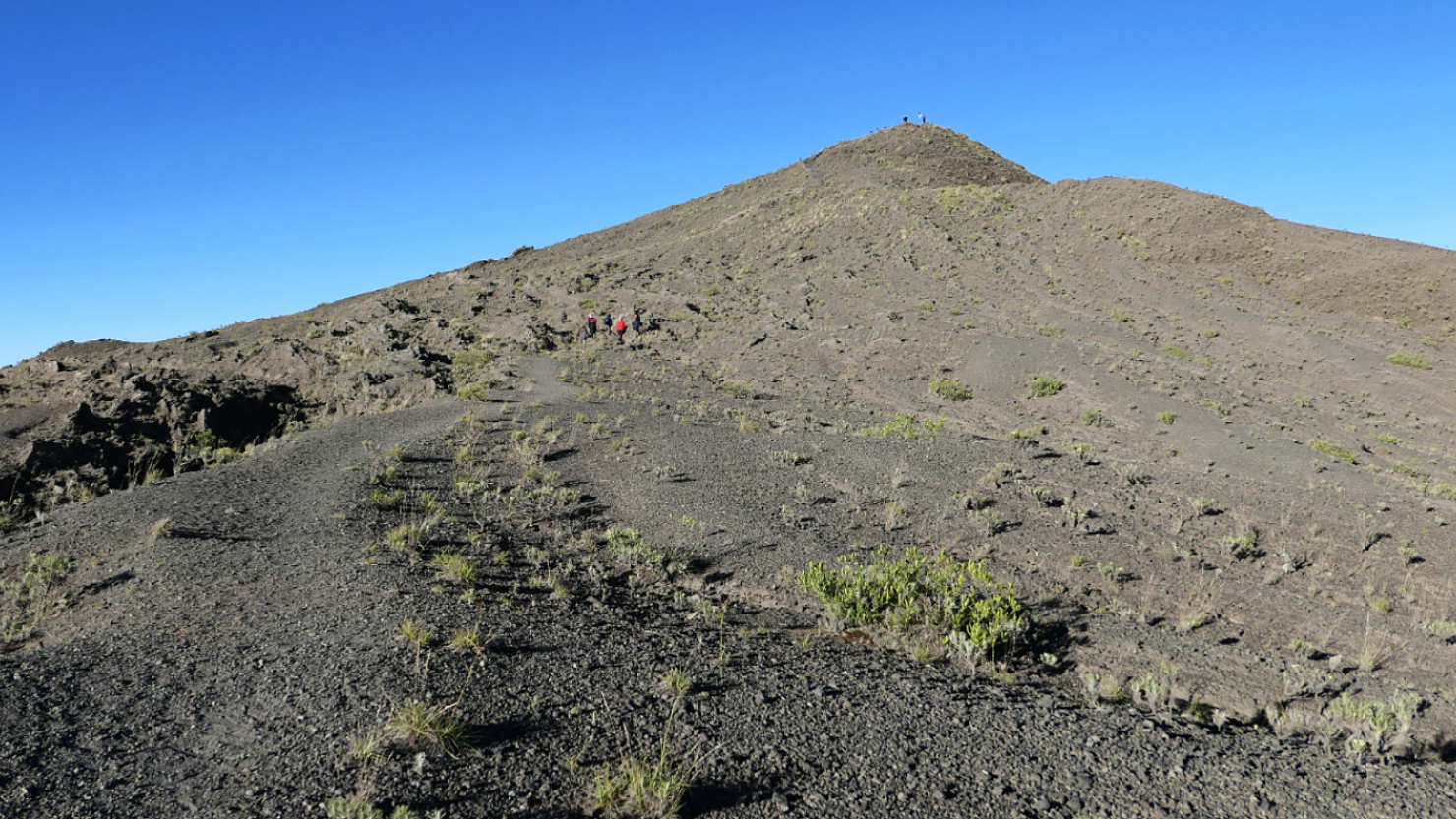
Tambora summit view looking back on our descent. Note the size of the people mid-way up the trail and also at the summit. Mt Tambora, Indonesia (Sumbawa).
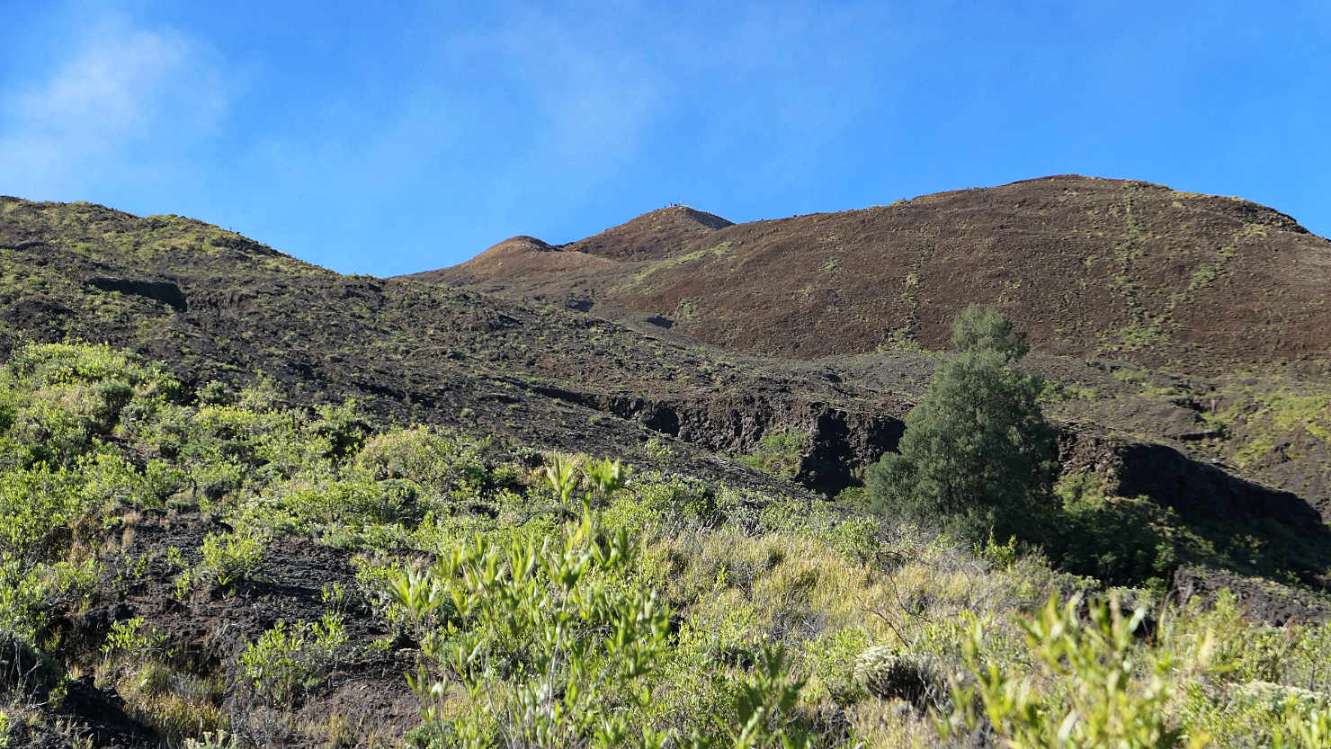
Final view of the summit looking back from our descent down the trail. Mt Tambora, Indonesia (Sumbawa).

View of the trail below Pos 5. Much of the trail was like this through the jungle. Mt Tambora, Indonesia (Sumbawa).
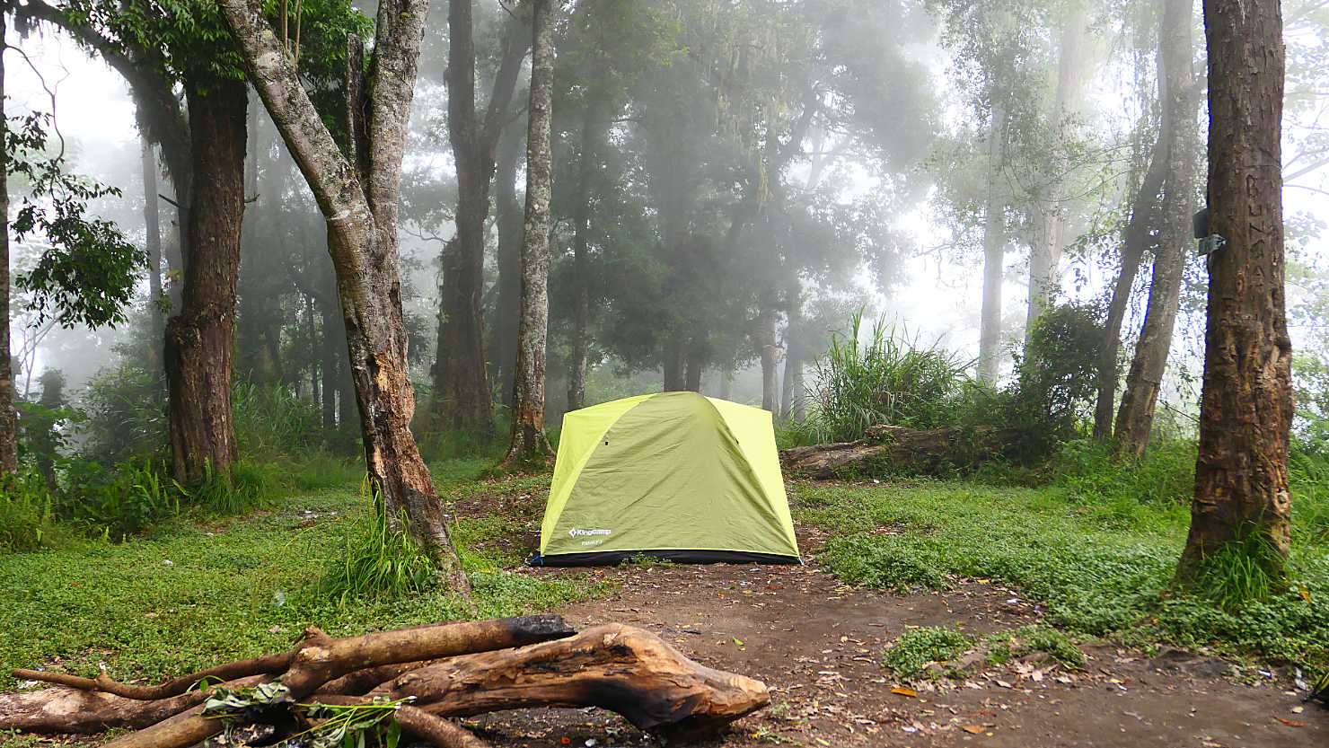
Our tent at Pos 3 along the Tambora trail. This was before "Bagong", the wild boar, completely destroyed it. Mt Tambora, Indonesia (Sumbawa).
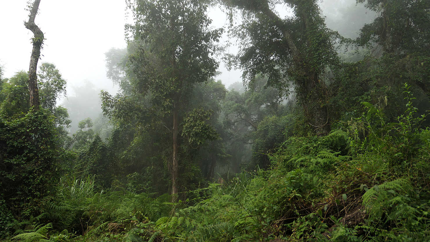
View from our camp at Pos 3 looking out at the jungle. Mt Tambora, Indonesia (Sumbawa).
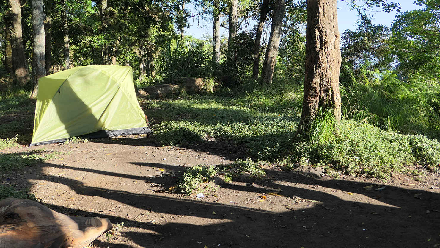
Our camp at Pos 3 after "Bagong" destroyed our tent. The guides gave us their tent and they slept under the small covered shelter area. Mt Tambora, Indonesia (Sumbawa).
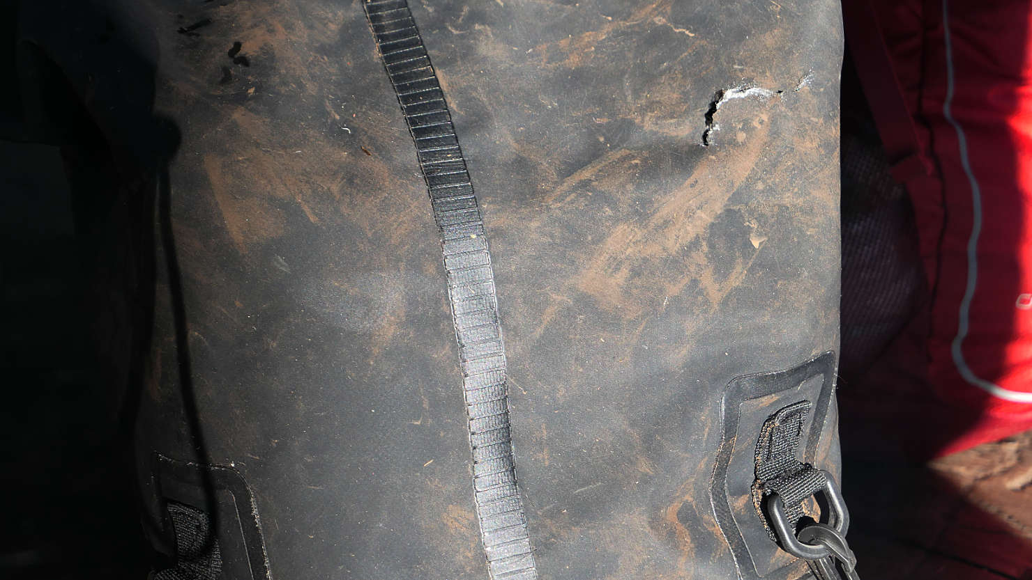
Our 20 liter dry bag after "Bagong", the wild boar, destroyed our tent along with everything inside. See his bite marks in the right corner of the bag. Mt Tambora, Indonesia (Sumbawa).

Closer view of Bagong's bite mark on our dry bag. Mt Tambora, Indonesia (Sumbawa).
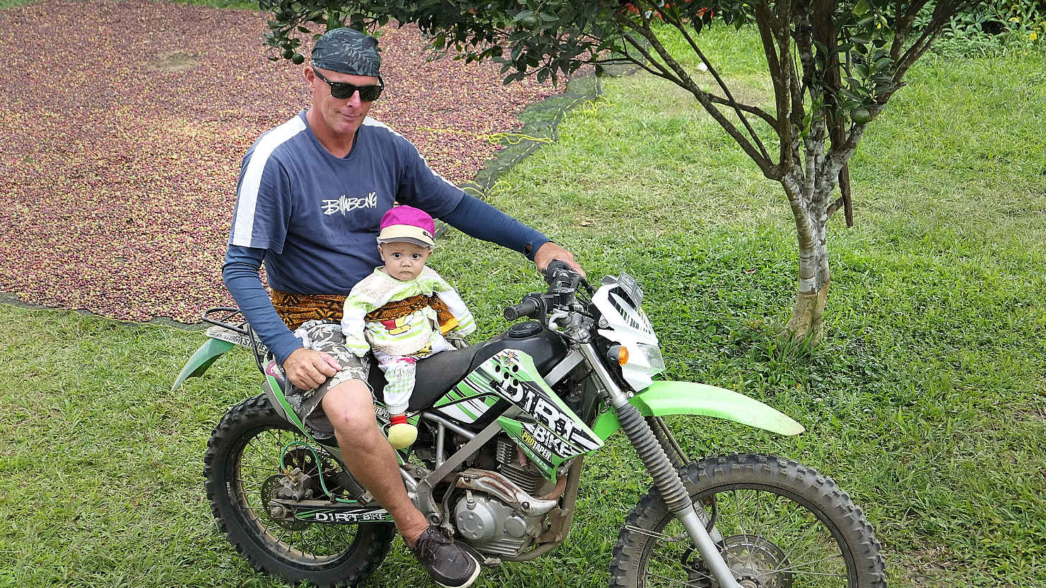
The owner of the Tambora Guesthouse, Rik, with his 4 month old son, baby Jessie. Mt Tambora, Indonesia (Sumbawa).
Mt Tambora (Sumbawa)

West Sumbawa, Indonesia (Sumbawa)

Yo-yo's beach. Waves at sunrise. West Sumbawa, Indonesia (Sumbawa).

Yo-yo's beach. Wave at sunrise. West Sumbawa, Indonesia (Sumbawa).

Yo-yo's beach. Waves looking South. West Sumbawa, Indonesia (Sumbawa).

View of Yo-yo's beach from hillside above. West Sumbawa, Indonesia (Sumbawa).
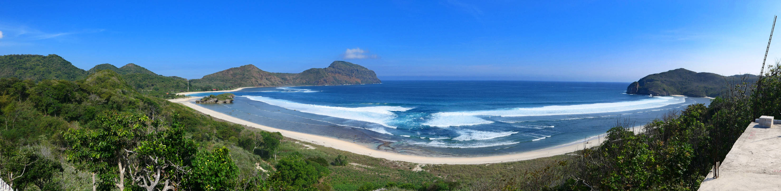
Panorama of Yo-yo's beach from hillside above. West Sumbawa, Indonesia (Sumbawa).

Rick and Alisa on a hillside vista with Yo-yo's beach in the background. West Sumbawa, Indonesia (Sumbawa).
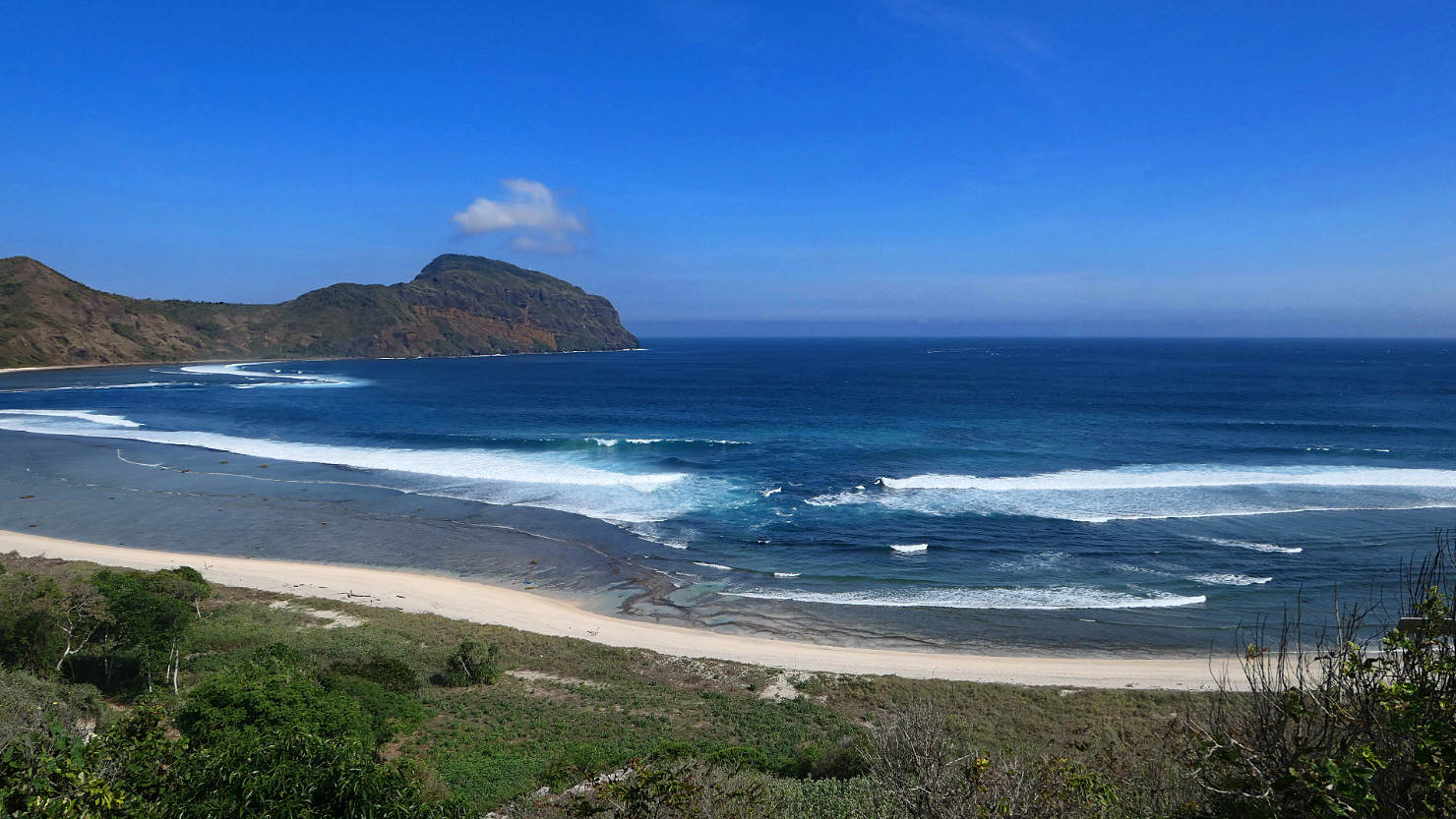
View of Yo-yo's beach from hillside above. West Sumbawa, Indonesia (Sumbawa).
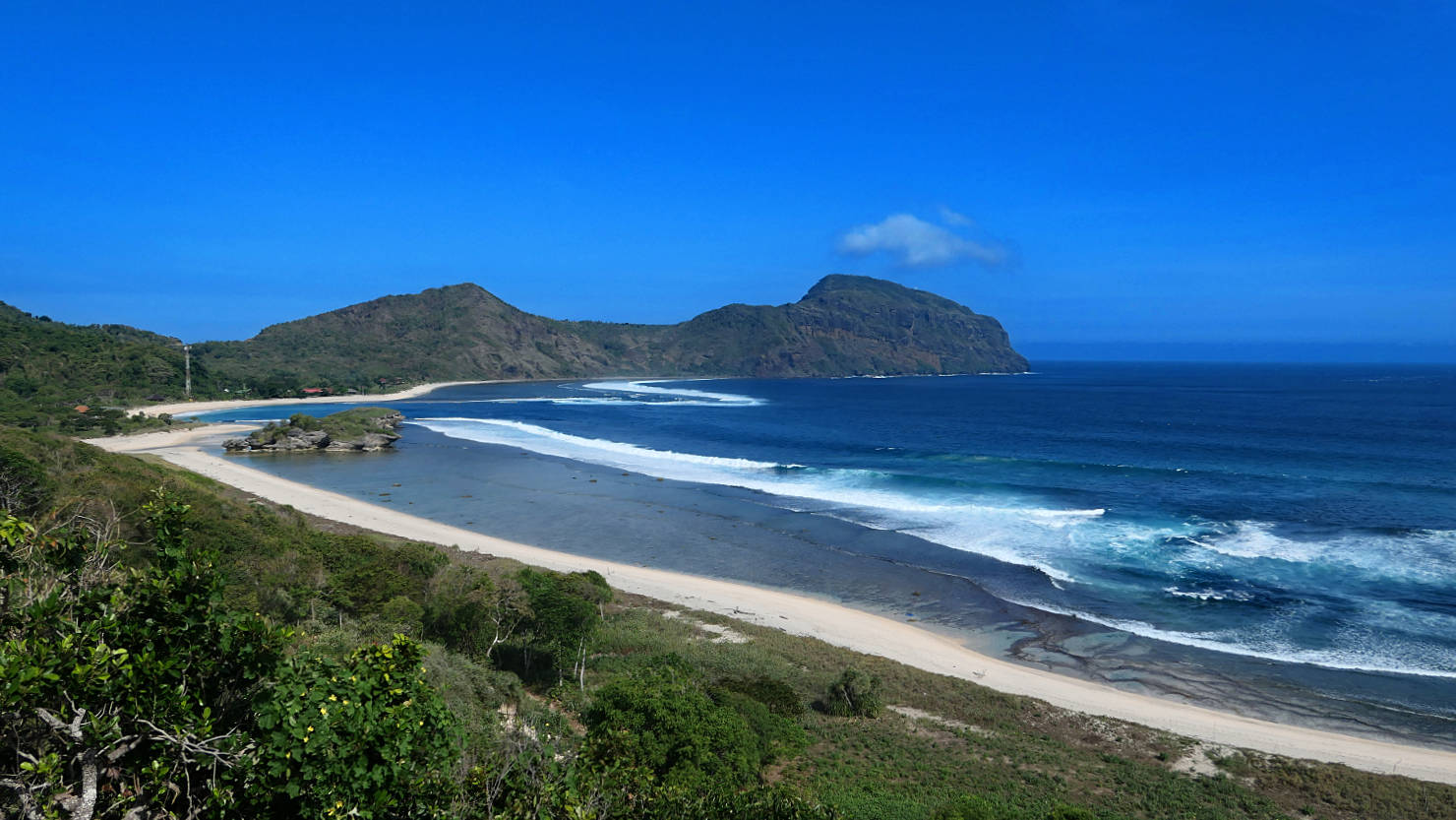
View of Yo-yo's and Villa Surga's beach from above. West Sumbawa, Indonesia (Sumbawa).
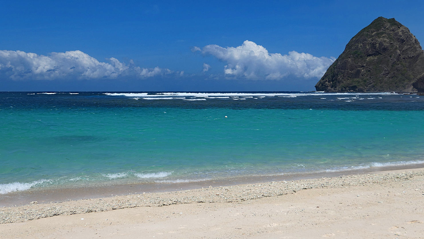
Tropicals beach looking Northwest. West Sumbawa, Indonesia (Sumbawa).
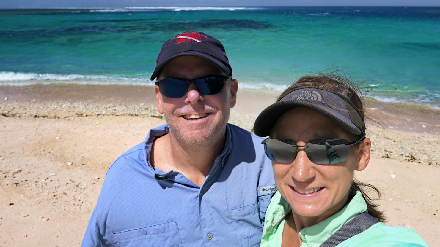
Rick and Alisa at Tropicals Beach. West Sumbawa, Indonesia (Sumbawa).
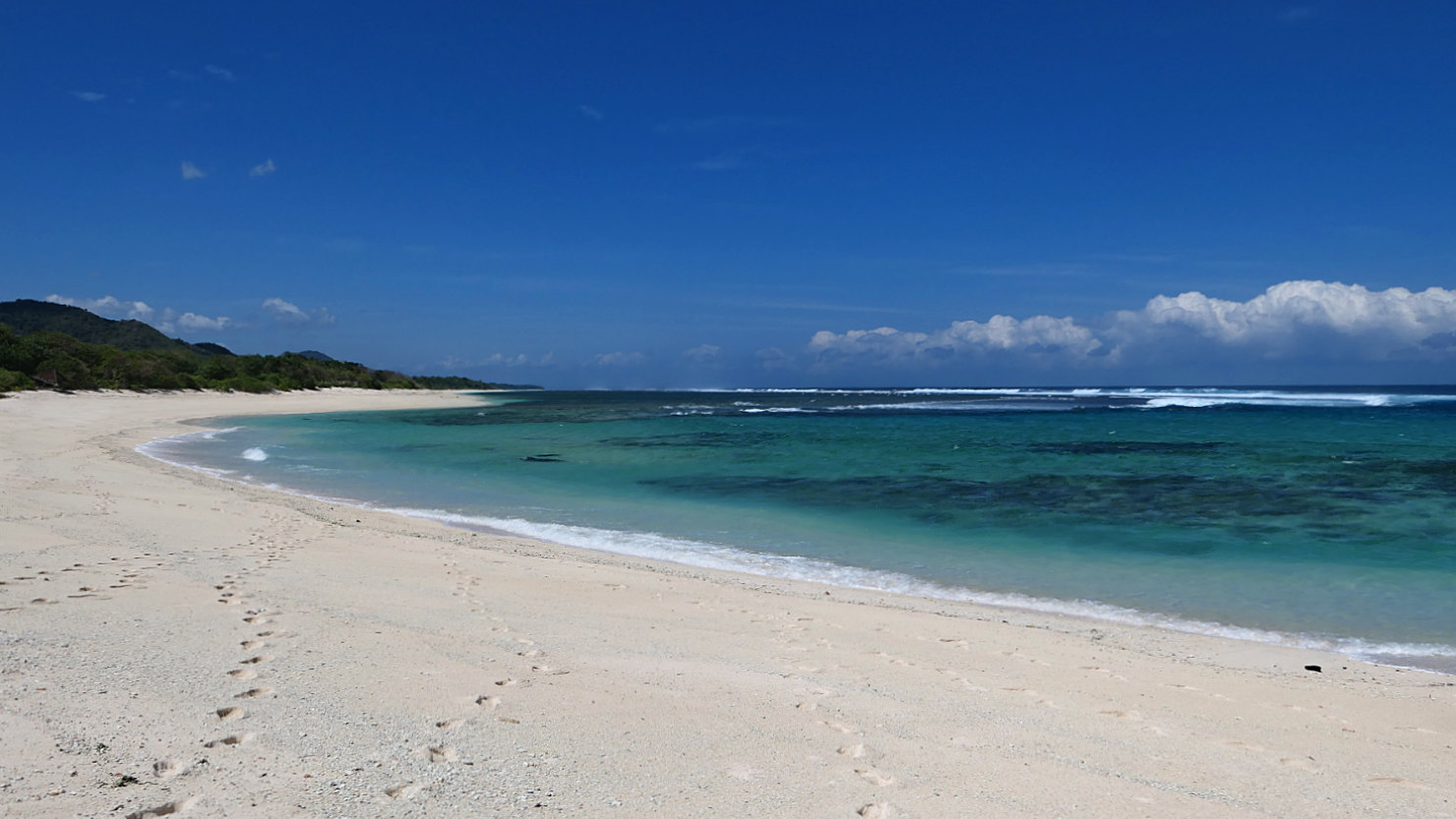
Tropicals beach. West Sumbawa, Indonesia (Sumbawa).
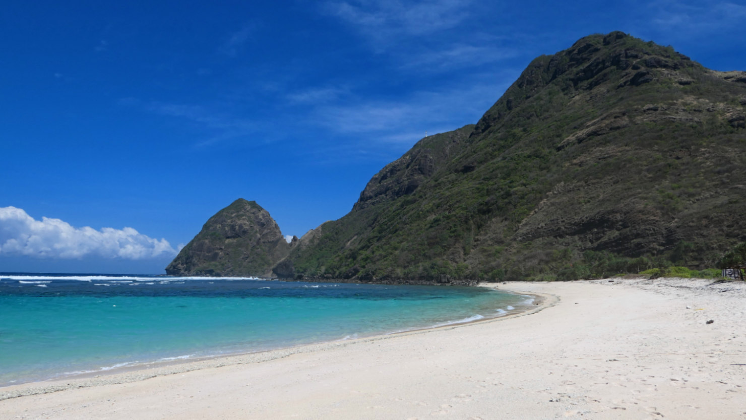
Tropicals beach looking North. West Sumbawa, Indonesia (Sumbawa).

Maluk beach. West Sumbawa, Indonesia (Sumbawa).
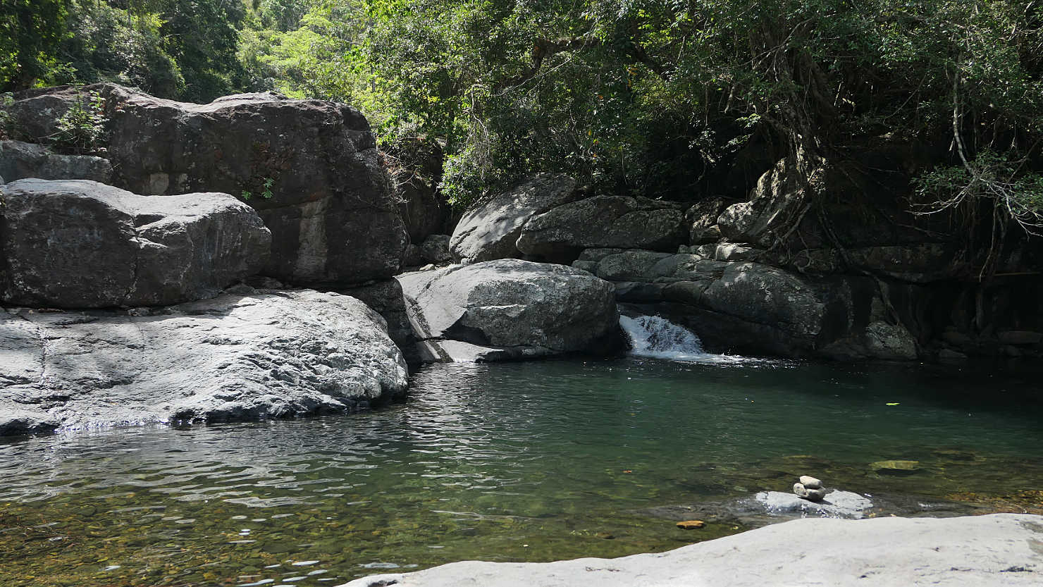
Local waterfall and swimming hole. West Sumbawa, Indonesia (Sumbawa).
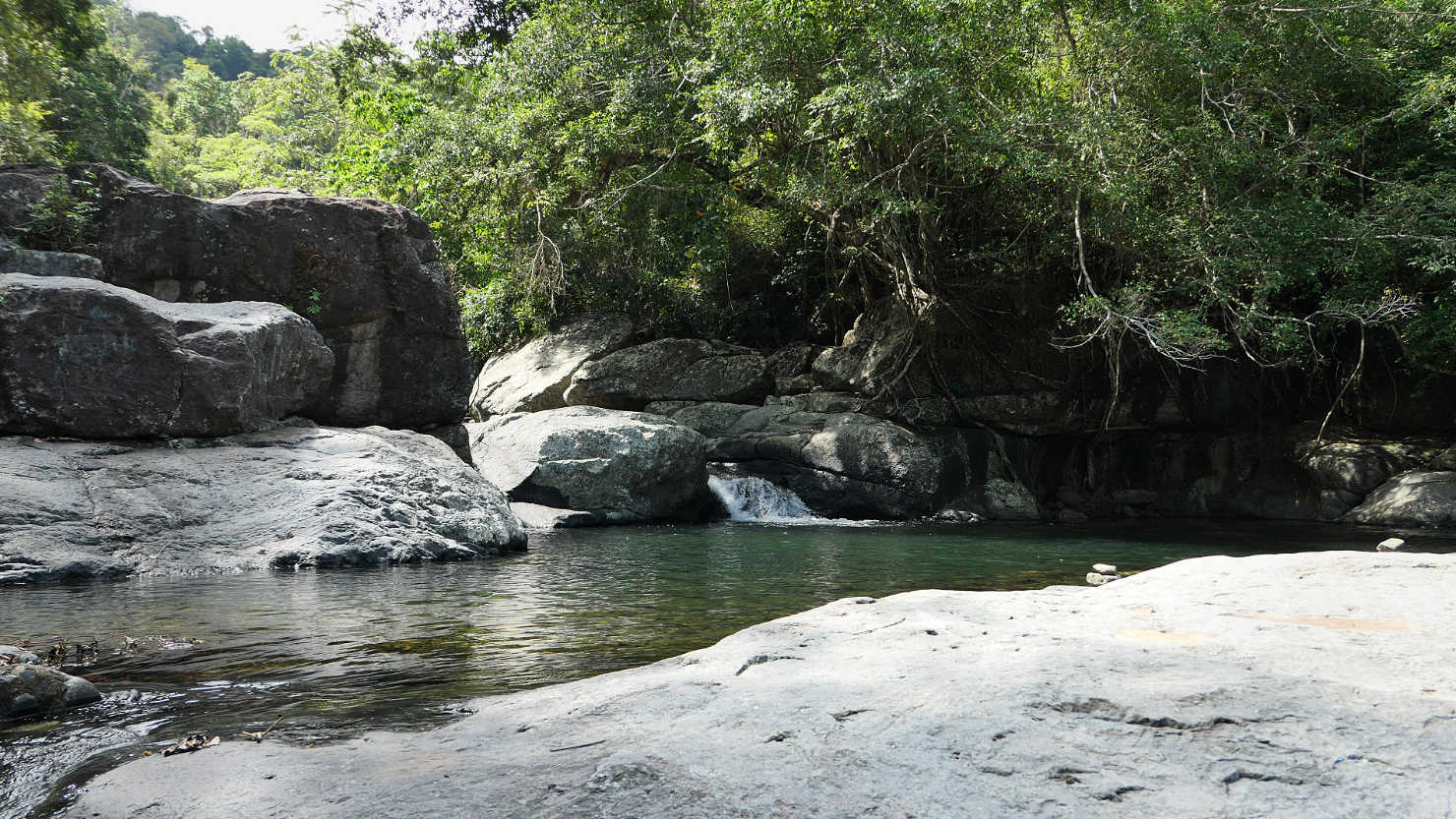
Local waterfall and swimming hole. West Sumbawa, Indonesia (Sumbawa).

Rice fields with Mt Rinjani in the distance. We drove through these fields to get to Jerewah Waterfall. West Sumbawa, Indonesia (Sumbawa).
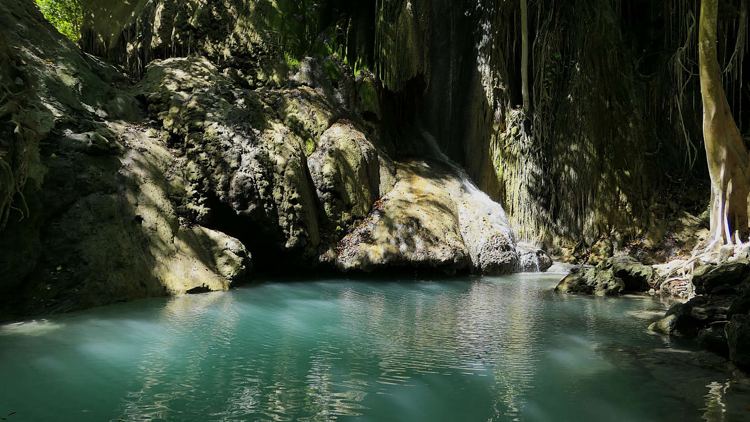
Jerewah Waterfall. West Sumbawa, Indonesia (Sumbawa).

Rick and Alisa swimming at Jerewah Waterfall. West Sumbawa, Indonesia (Sumbawa).
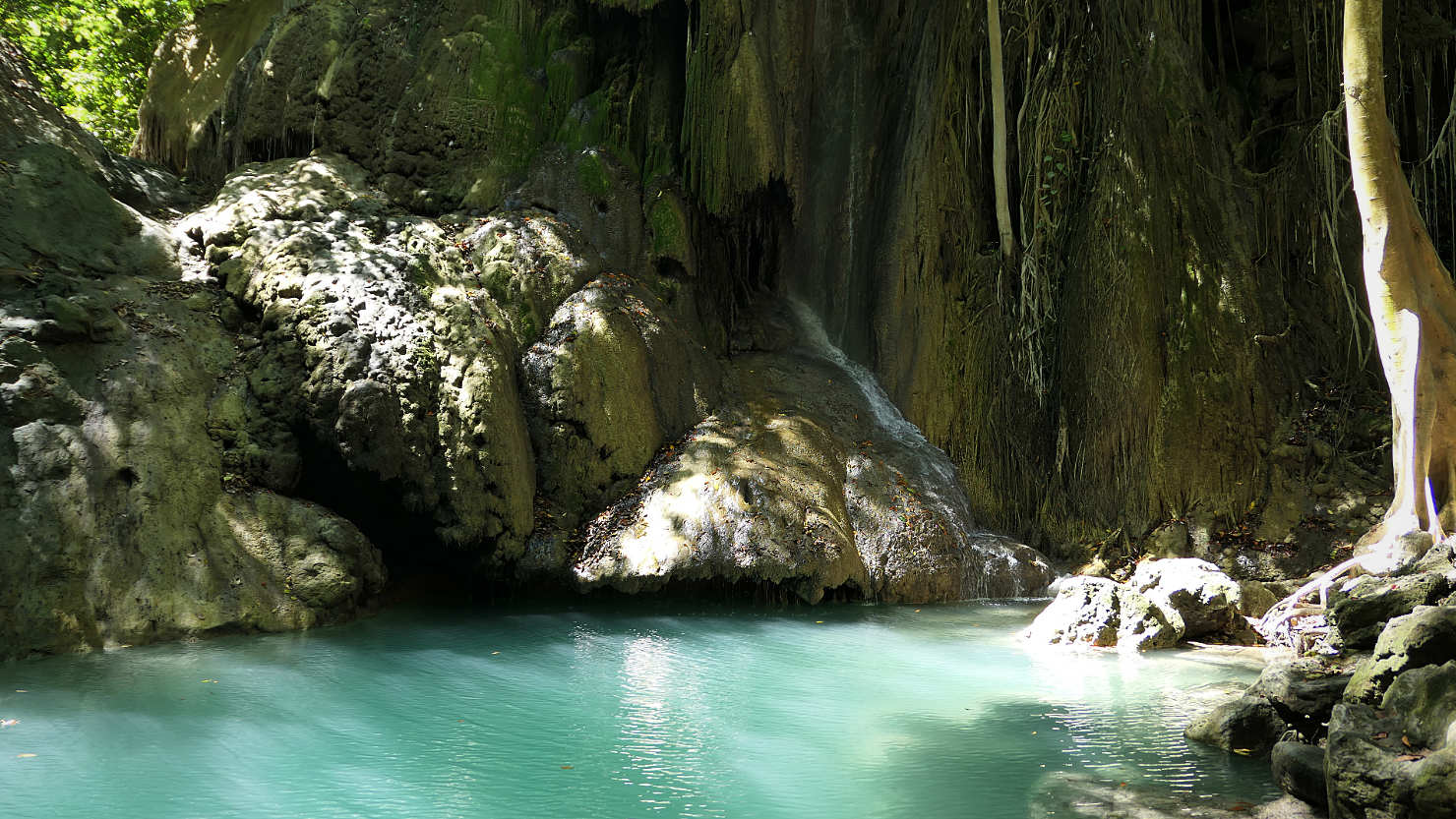
Jerewah Waterfall. West Sumbawa, Indonesia (Sumbawa).

Rick and Alisa swimming at Jerewah Waterfall. West Sumbawa, Indonesia (Sumbawa).